West Cady Ridge, Benchmark Mountain Loop
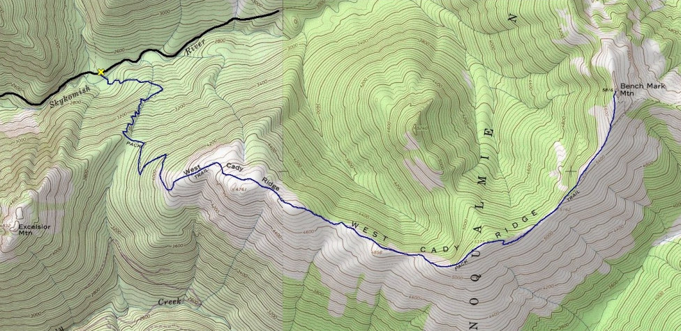
Although the views from West Cady Ridge are spectacular, no trip can just end along a ridge without a destination. So, to make this a complete trip, your goal should be Benchmark Mountain, at the far east end of the ridge. The sweeping views include Baker, Rainier, Glacier Peak, east side Monte Cristo, Sloan, Pugh, and many more. You could also continue the ridge another 1.5 miles to the Pacific Crest Trail. Then drop down to the Pass Creek Trail and North Fork Skykomish River Trail making a 18.5 mile loop trip. Doing the loop is a bit longer but avoids the up and down of the ridgeline making it less elevation gain on the return.
WillhiteWeb.com
Distance: 16 miles RT, or the loop at 18.5 miles
Summit Elevation: Benchmark Mountain 5,816 feet
Elevation Gain: 3,800 foot gain if you go to Benchmark
Access: Paved and Good Gravel
Access:
The Index-Galena road is the best access but is still closed by a wash-out. So, drive Highway 2 to Beckler River Road, then over Jack's Pass and down to the Skykomish River. Turn right on FR 63 and follow the road to the trailhead at the end of the road.
Route:
Three trails start at the trailhead so find the correct one. The route begins in old-growth forests with a gentle grade gaining 1,800 feet in 3 miles to the beginning of the ridge. The views begin here of meadows and surrounding peaks and never really let up. The trail along the ridge does have a few ups and downs but nothing too large. You can see your destination during most of your walk along West Cady Ridge. You can stop at any point along the way and still have a good hike, but reaching Benchmark Mountain is the climax.
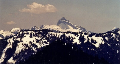
Sloan Peak
Glacier Peak
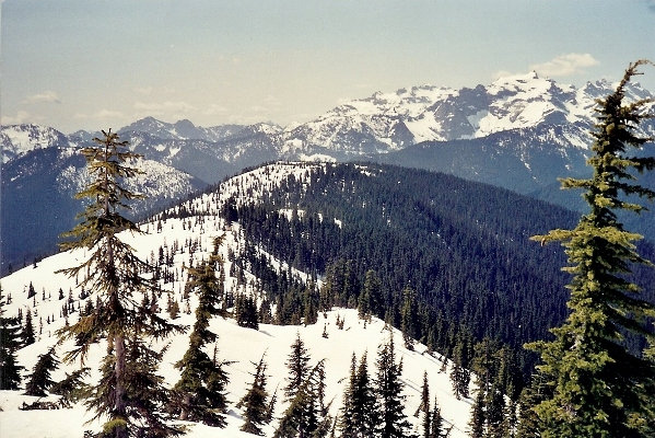
Looking back along West Cady Ridge in route to Benchmark Mountain
Skykomish River Valley
Monte Cristo Range
On the ridge
Views
West Cady Ridge Trail: 9.5 miles
Benchmark Mountain Spur Trail: 0.5 miles
Pacific Crest Trail: 1.6 miles
Pass Creek Trail: 3.5 miles
North Fork Skykomish Trail: 3.5 miles
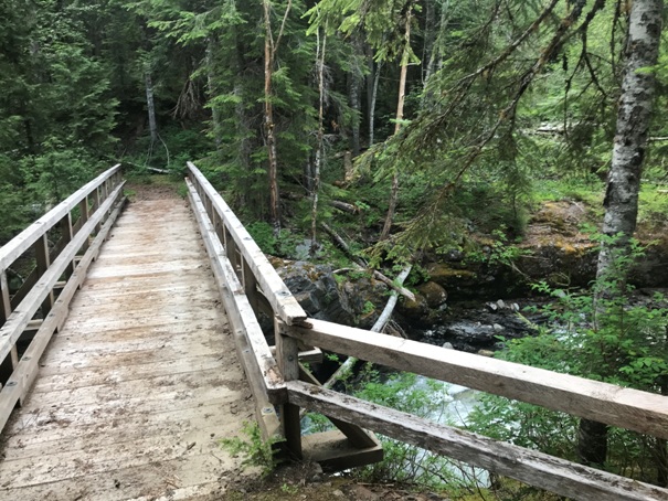
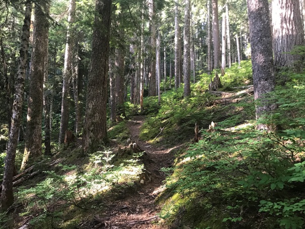
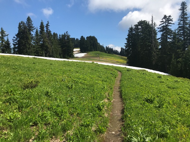
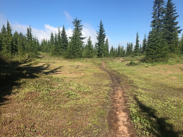
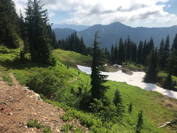
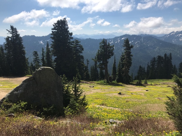


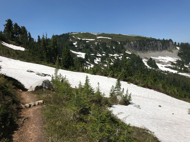
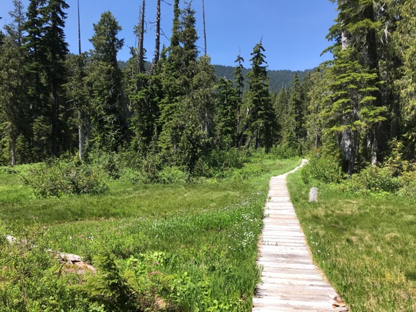
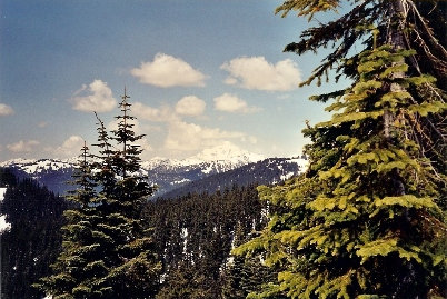
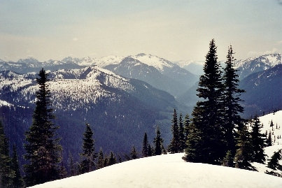
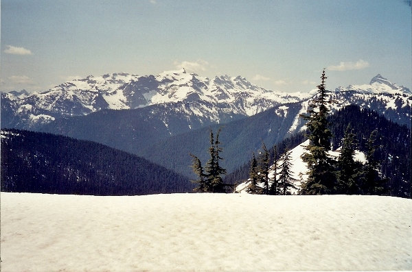
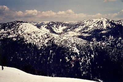
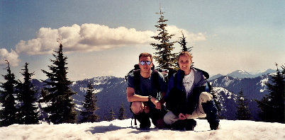
BELOW: Images from a prior trip when soft snow made the trek a lot longer and it was too tiring to reach Benchmark Mountain (Year 2000)
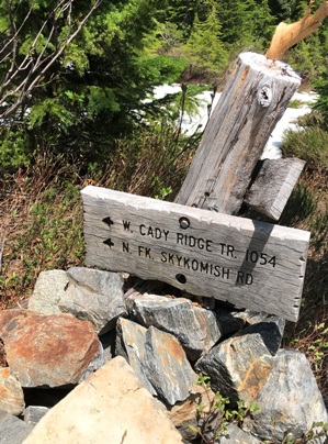
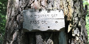
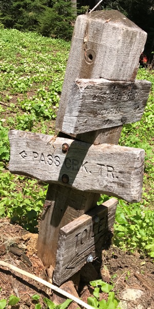
Be sure to start on the correct trail (3 choices)
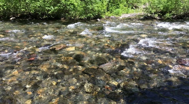
Crossing the North Fork Skykomish near the beginning
First meadows on West Cady Ridge Trail
Meadows along the West Cady Ridge Trail
Getting near Benchmark Mountain
Boardwalk on the Pass Creek Trail (if you do the loop)
Benchmark Mountain gardens
Benchmark Mountain from the East
The ford of the North Fork Skykomish on the Pass Creek Trail (if you do the loop)
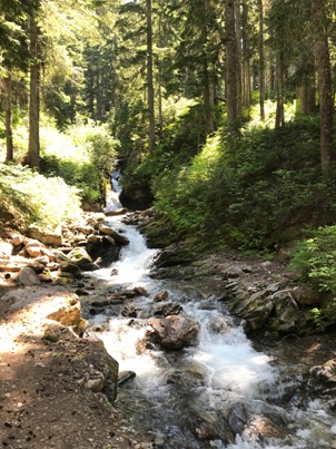
Creek on the Pass Creek Trail
West Cady Ridge/PCT Junction
PCT/Pass Creek Trail Junction
Trail split on the North Fork Skykomish Trail
North from summit
Southeast from summit
Southwest from summit
