Drive up Little Cottonwood Canyon to the Alta ski area where you hit the Alta Guard Station. Park just east of the Alta Guard Station.
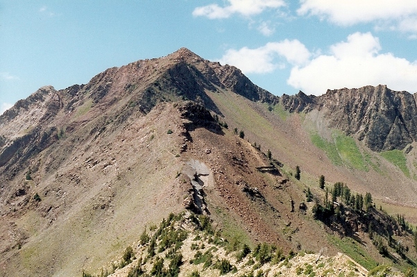
These two mountain peaks rise dramatically out of the Alta and Snowbird Ski areas. You have to bend backward to try to spot the summit from the base. Both are climbed often and year round because of their easy access at the end of Little Cottonwood Canyon.
These were my first mountains in Utah (hence the old pictures) long before I moved there. This is the easiest of many routes.
Access:
The Route:
Utah Hiking & Climbing
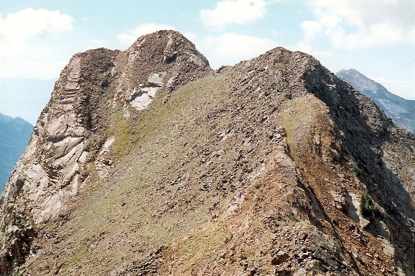
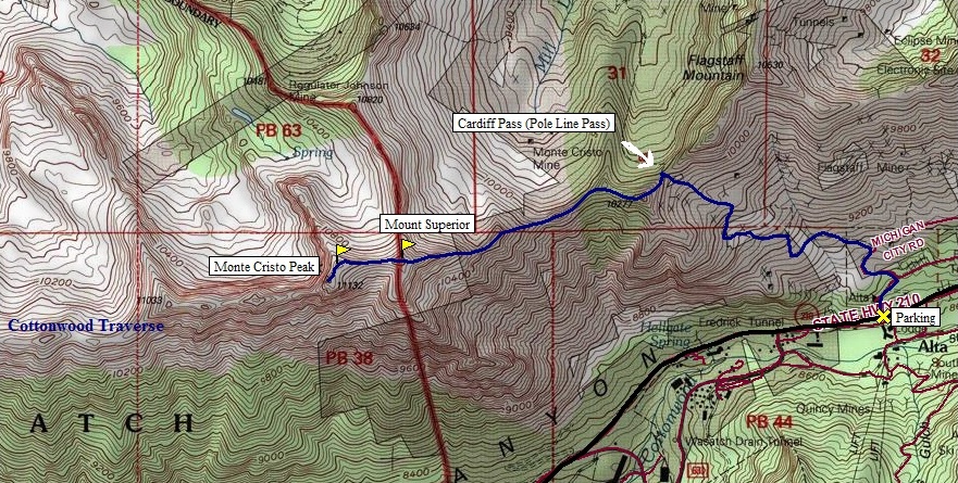
From the Alta Guard Station hike up the road just to the west of the Guard Station. Hike the road for 3/4 mile to a junction. Go left at the junction to begin the trail to Cardiff Pass. It is 1.5 miles to Cardiff pass from the Guard station. From Cardiff Pass go west along the ridge. The route initially stays to the north side of the ridge but then crosses over to the south side. The faint trail continues on the south side of the ridge staying below the ridgeline about 20 to 50 feet until it reaches the base of Superior. Now climb scree slopes and the ridge on the southeast side of the mountain to the summit. Up to class 3 in a few places. From Superior, it's a quarter mile of class 2 to the top of Monte Cristo Peak.
Monte Cristo Peak and Mount Superior
Distance: 2 miles
Elevation Gain: 2,700 feet
Summit Elevations: 11,040 feet & 11,132 feet
Access: Paved
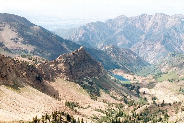
From Reed & Benson Ridge
Snowbird Ski Area
Route to Monte Cristo Peak
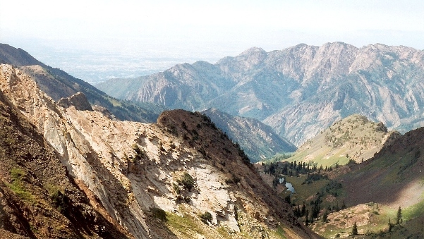
Sundial Peak
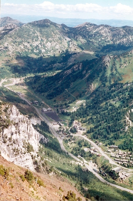
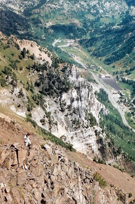
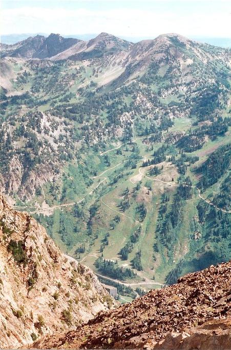
Looking down to Alta Ski Area
Superior and Monte Cristo Peaks from Cardliff Peak
Looking northwest
Looking down to Alta
