Silver Star Mountain
Silver Star Mountain is the top mountain hike in the area. This mountain is at the far west of the Cascade Range, at the edge of the urban areas of Vancouver and Portland. The National Forest and Yacolt State Forest in this area has all kinds of recreational activities. The highest peaks are relatively low in elevation but due to the 1902 Yacolt Burn, the most destructive fire in modern state history, the area never recovered, and has burned additional times. This means meadows and big views! One source says that when the fire occurred, the street lights in Seattle (100 miles away) had to be turned on at midday.
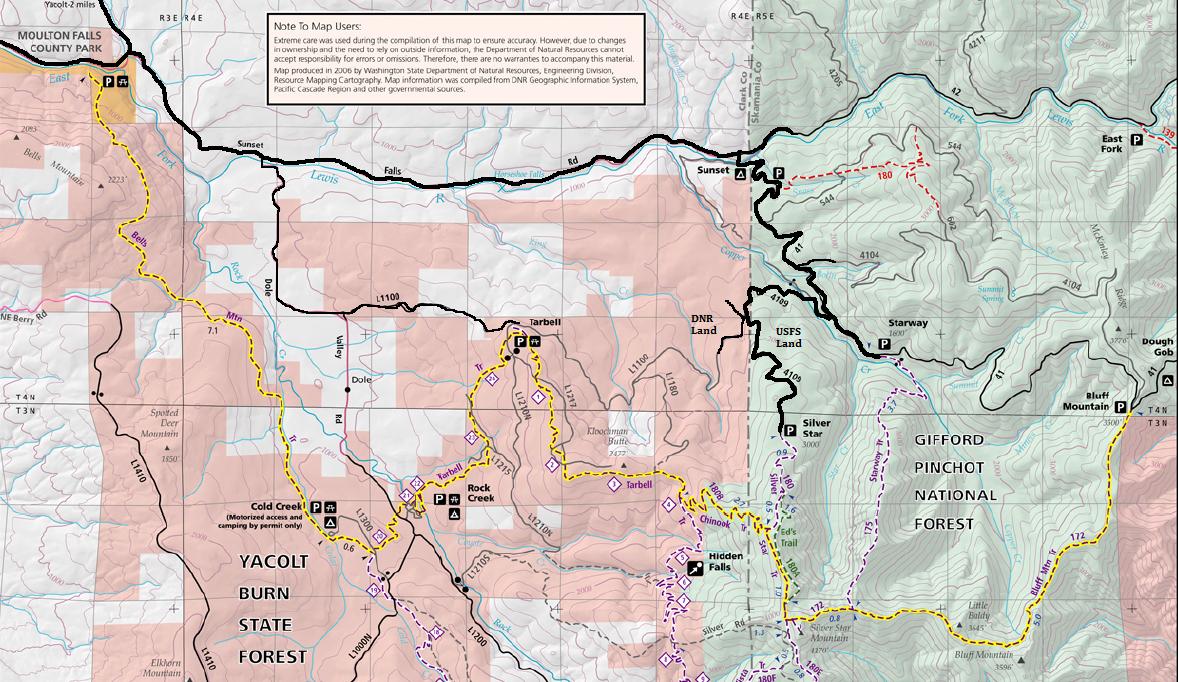
There are many ways to hike up Silver Star Mountain, but the highest and quickest is from the north. From Yacolt, head south to Moulton Falls County Park. Take County Road 12 where you can choose either DNR or USFS access points. Both merge together further up the mountain as the final few miles is shared. For DNR, go 1.9 miles to a right turn on Dole Valley Road (follow DNR roads on map). For the USFS roads, continue 7.5 miles on County Road 12 to Sunset Campground. Turn right passing right through the campground and going over a bridge for the East Fork Lewis River. On the other side, turn left on FR 41 and follow for 3.4 miles to a very sharp right turn. Now on FR 4109, it drops, crosses Copper Creek, then climbs up to the DNR/USFS ownership boundary and road access.
Access:
Reports vary over the years, the road is usually requires a high-clearance vehicle. It's got a few rough spots and larger water-bars. Many leave cars at the DNR/USFS boundary 4-way intersection and commute up in SUV's. The trailhead has great views.
Last 2.5 Miles Of Access:
Distance: 2.5 miles
Summit Elevation: 4,390 feet
Elevation Gain: 1,500 feet rt
Road Access: High Clearance Advised
There is a small natural rock arch just below the north face of the north summit. The arch is visible only from below on the Bluff Trail. Behind the arch is a small cave about 8 feet deep that once inside frames Mt. Rainier and Mt. St. Helens. Just a little west of the Silver Star summit is Sturgeon Fin, the area of the highest point in Clark County. A bit further is Sturgeon Rock, a sharp peak with basalt columns on two sides.
Bonus sights:
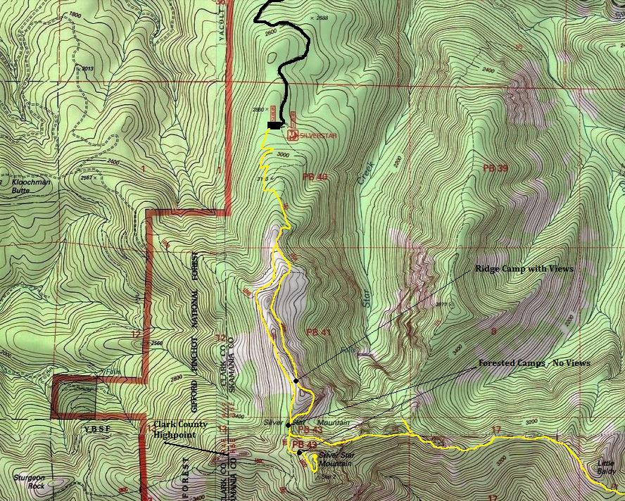
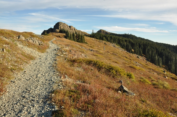
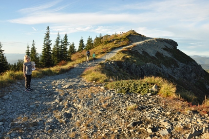
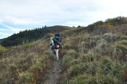
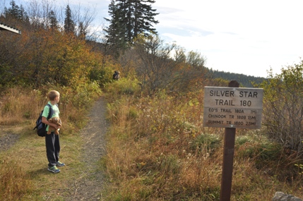
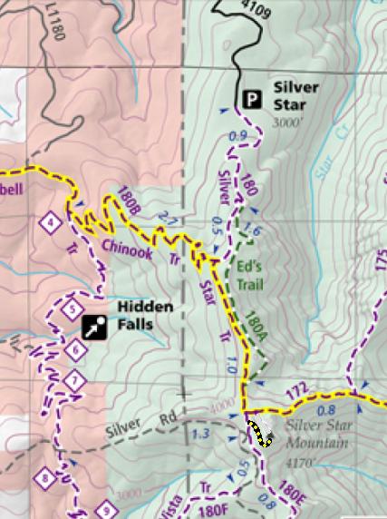
A trail leaves the parking lot or you can walk the abandoned lookout road. Take the trail for this part. After several switchbacks, the trail merges with and follows that old lookout road. Soon a nice hiking trail leaves the road called Ed's Trail. You can follow it or follow the road. Many hike the trail up and the walk the road down. The trail follows the eastern side of the ridge while the road will take the western side. Both are scenic and meet back up just below the summit. At that point, the Bluff Trail leaves going east. For the top, follow the old road (very rocky) uphill and left an a monster cairn, up to the summit. Several campsites are along the way and noted on the maps below.
Route:
Because of the low elevation, you can possibly have year round access if the roads are free of snow. But usually, access would be May to December. With upper trails, snow can stay as late as July but the trails are popular with winter hiking and snowshoeing.
When To Go
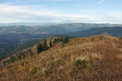
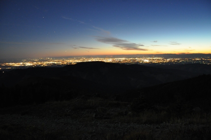
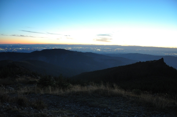
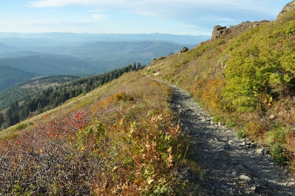
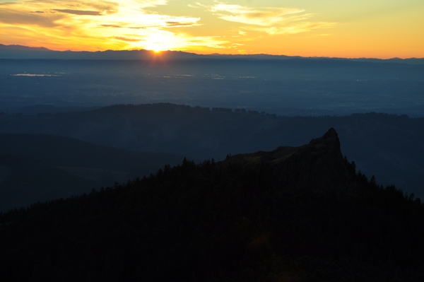
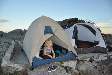
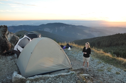
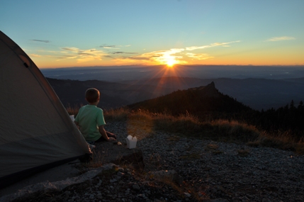
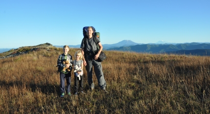
Sunset over the Oregon Coast Range
Camp on the old lookout concrete slab
Final few feet up Silver Star Mountain
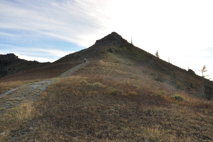
In route to the summit, the far point
Walking the old fire road
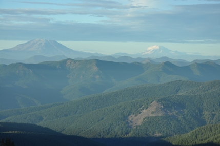
Mount St. Helens and Mount Rainier
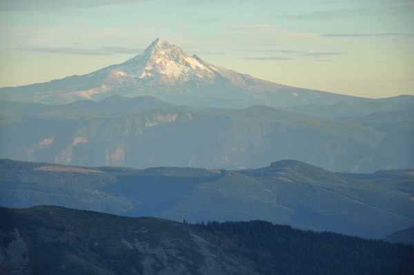
Mount Hood with the Columbia River Gorge between
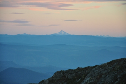
Mount Jefferson
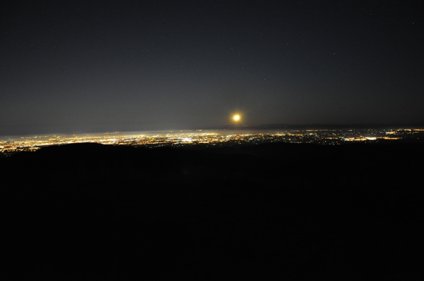
Moon setting over Portland
Getting darker, watching the lights come out
DNR Map of trails
Map showing trails and some campsites
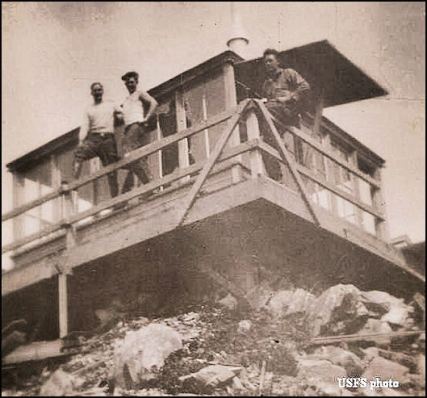
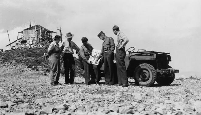
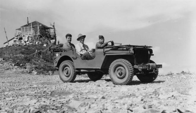
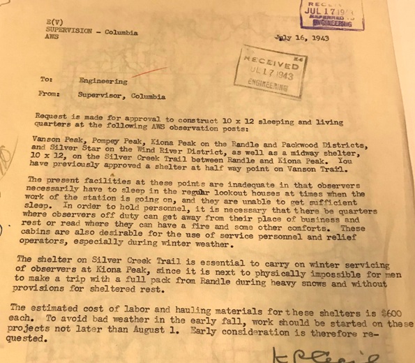
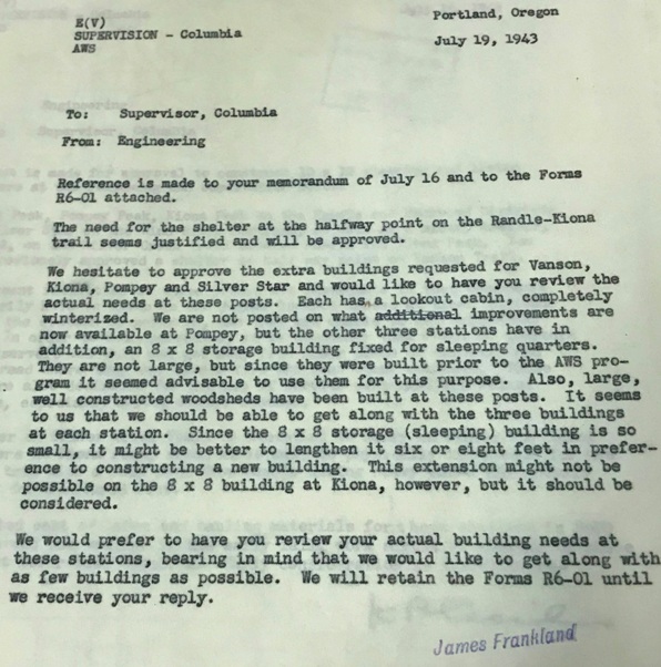
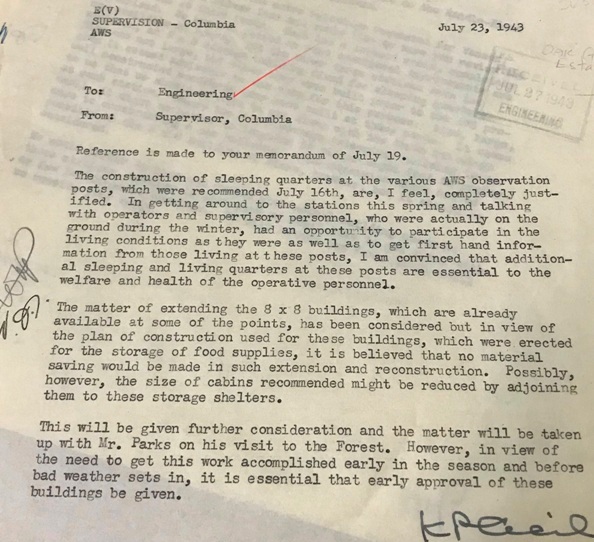
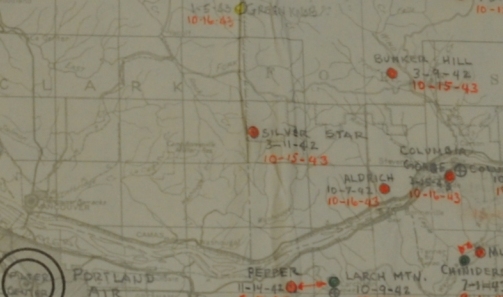
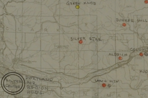
Silver Star Mountain was a lookout long before any structures were built. The first structure was built in 1934, an L-4 cab. Panoramics were taken that same year. The second lookout was in 1955, a R-6 flat cab. It was removed at some point but the large foundation is still there. In 1942 and 1943 it served as an Aircraft Warning Service Station. The AWS utilized existing facilities owned by the Columbia National Forest. Improvements added, using AWS funds, included sleeping quarters and a woodshed. Upon the end of service the Forest Service retained the site for continued use as a fire detection point.
Lookout History
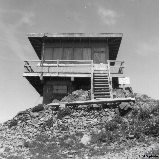
Silver Star Lookout 1964 (Second lookout)
First Silver Star Lookout
The Morning Oregonian newspaper reported about the lookout in September 1929, saying that the fire lookout was watching the progress of the Dole Fire as it approached the National Forest. The fire was in the Little Washougal district threatening settlers and was threatening the Columbia National Forest. The lookout at Silver Star reported that should the wind change and advance the fire toward the forest boundary, a steep, timbered ridge will offer the flames a quick headway into the forest. He said forest officials are ready to rush in men to backfire from the ridge the moment the fire reaches the boundary.
October 2, 1952: "For the last five years Mrs. Anne Donnelly, an R.A. Long High School teacher, has kept the lookout with her two boys, Robert and James. It is a lonely place, and the water has to be packed in from a spring that is not nearby by any means, but few persons have ever been privileged to live with such a magnificent panorama." (Longview Daily News)
September 9, 1954: "Visitors to Silver Star Mountain in the Gifford Pinchot National Forest will now see a new type lookout house atop the familiar 4,350-feet peak. The new house, 15-feet 4-inches square, built to a rustic design, replaces the old 14 by 14-foot standard lookout house built in 1934. The new building, which was built during July and August, has a flat roof 22 feet square making conventional shutters unnecessary. Marine plywood is being used for siding. Propane gas is used for cooking instead of wood as before. These innovations, if successful will be incorporated as standard into other lookout houses in National Forests of the Pacific Northwest. For the past seven summer seasons, Mrs. Anne Donnelly, a school teacher from Longview, has occupied the lookout position." (Longview Daily News)
July 11, 1959: "Mrs. Robert B. Donnelly had a three weeks vacation visiting friends in Honolulu and touring other islands in the Hawaiian group before going to the Silver Star lookout station out from Yacolt where she has served as lookout for the past several years," (Longview Daily News)
September 20, 1962: "Vernon Kinney returned home Saturday night from his duties as Lookout on Silver Star Mountain in the Gifford Pinchot National Forest this summer. He expects to return to Cascade College in Portland, Oregon in the near future." (The Arlington Times)
Newspaper articles found by Ron Kemnow:
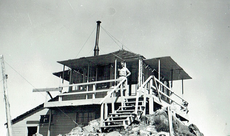
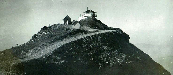
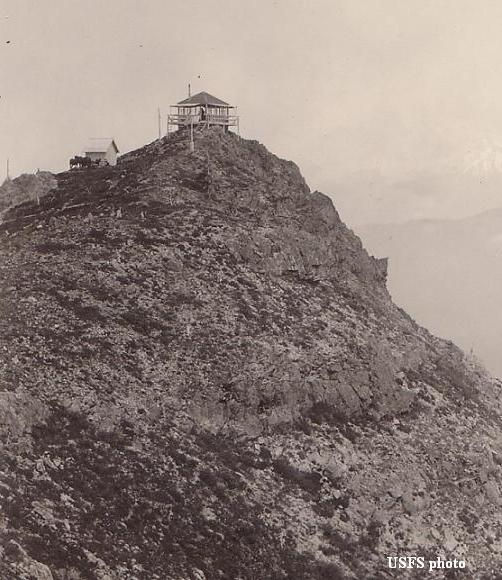
First Silver Star Lookout
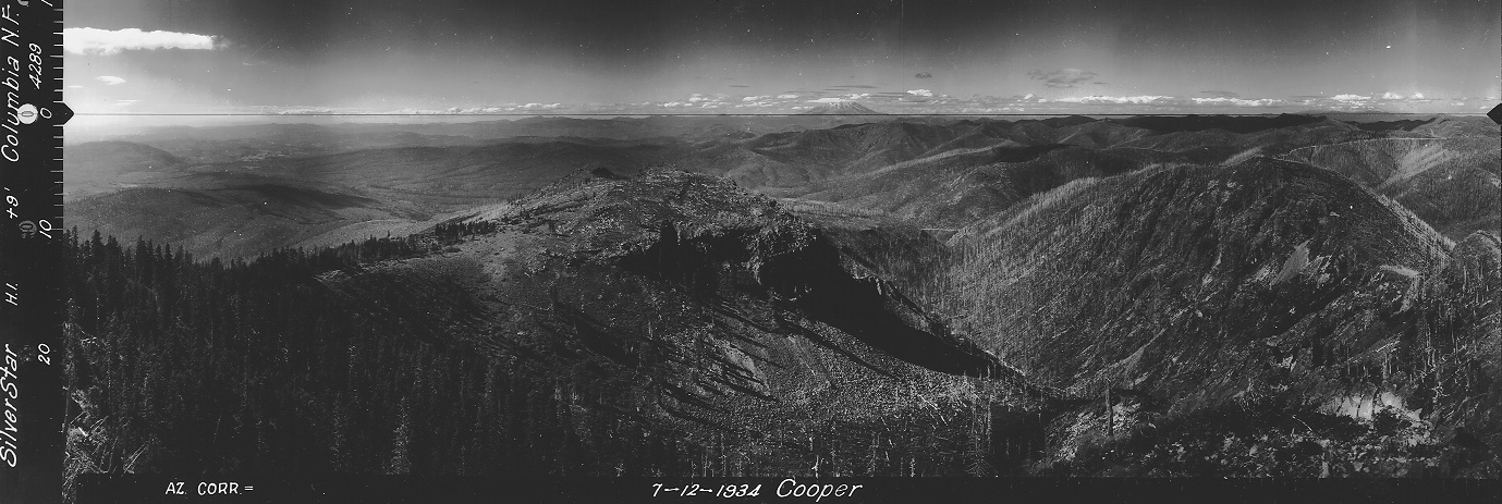
North View 7-12-1934

Southeast View 7-12-1934
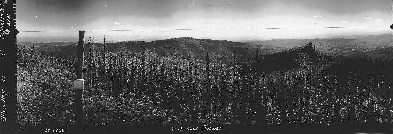
Southwest View 7-12-1934
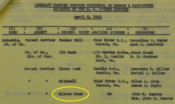


AWS Observers in 1942 Mr. & Mrs John W. Baccus (note they are different than the observers at the bottom of the page)
Accessibility March 31, 1942 by vehicle
AWS Map
AWS map with dates
These 3 documents shared over the course of a week are interesting, trying to get a sleeping quarters at Silver Star and a few other locations.
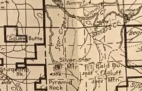
1940 Columbia National Forest map
Get a Jeep
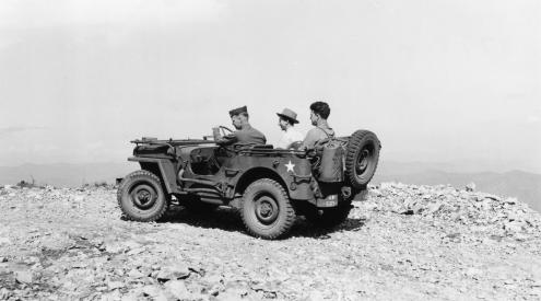
Aircraft Warning Service visit to Silver Star in August 1943
With living quarters below
With living quarters and 2 other buildings


