Quartz Mountain
Washington Lookout Sites
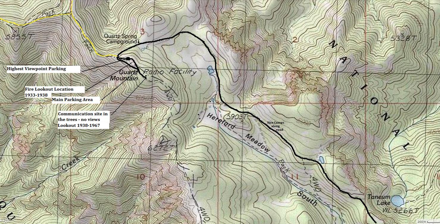
One of the highest points between the Yakama and Little Naches Rivers, Quartz Mountain has long been a popular drive-up peak. A popular campground was established just below the summit, which still exists today but is much smaller. Most vehicles can reach the top of Quartz Mountain so it gets visitors nearly every day until the first snow dumps. At one time, 2 different fire lookout towers were located at the summit. Quartz was first used in 1929 when the lookout was a platform tower and tent camp. This was replaced in 1933 with a 40 foot steel tower with 6'x6' cab. These were located just below the highest point, on the ridge west where the huge views are located. But in 1938, the steel tower was replaced with a new location to the east at the true summit in the trees. The new lookout was a 40 foot pole L-4 tower. It was removed in 1967. Today the forested area of the communications towers is where this second location was at. The map below shows where the towers were located.
Forest service roads come from both Cle Elum and Ellensburg but the simplest is from Ellensburg, exit 109. Just north on Canyon Road is Damman Road which gets you over the Yakama River. Then turn right on Manastash Road. Follow this road all the way to Manastash Campground where signs should lead the way to Quartz Mountain.
Access:
Distance: Drive-up or under one mile
Summit Elevation: 6,300 feet
Road Access: Most of way on good gravel, last 3 miles has potholes
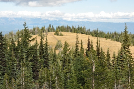
Knob just north of the summit
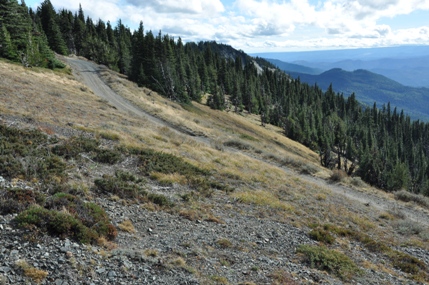
Quartz Mountain Road on the summit between the viewpoint and highpoint
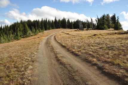
Road leading up to the summit
Manastash Roadless Area
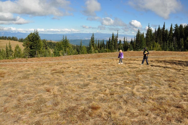
Kids looking for treasure while I look for the lookout foundation
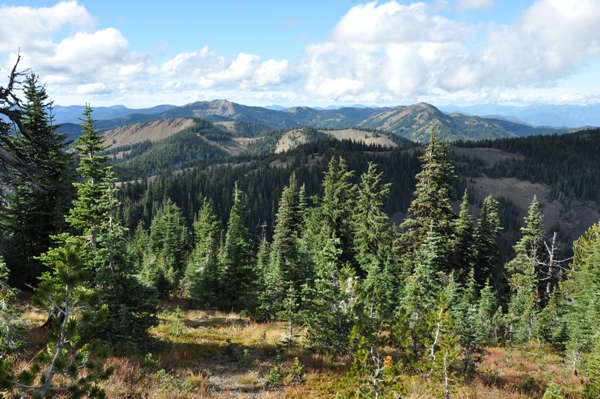
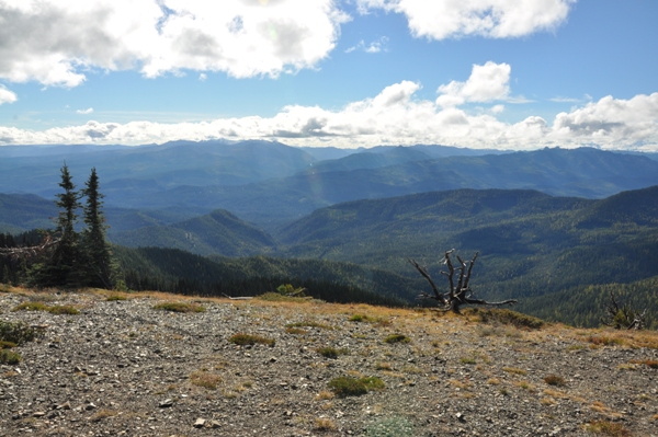
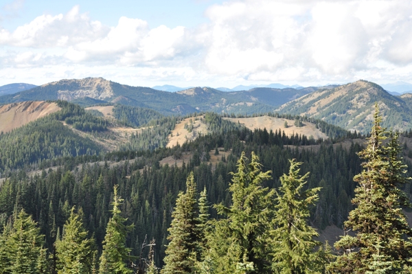
Looking SW over the Little Naches River Valley
Lookout Mountain - next lookout location to the west
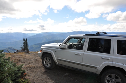
Jeep promotional shot
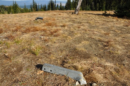
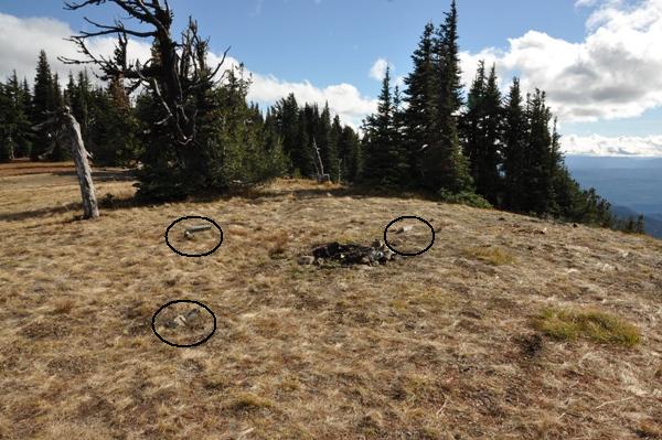
Two of the foundation fittings for the 1933 steel tower
The 1933 lookout location with footings nearly gone
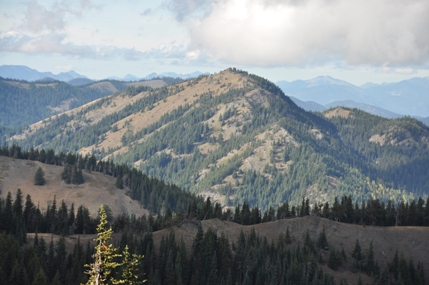
Mount Clifty on left and Lookout Mountain on the right
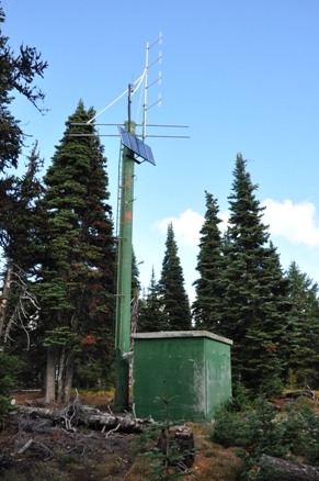
Weather station at the highpoint
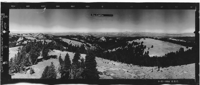
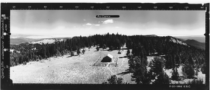
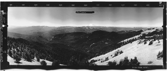
Quartz Mountain 8-20-1934 Looking NORTH
Quartz Mountain 1933-1938 Lookout Tower - Taken 8-20-1934
Snoqualmie National Forest
Elevation given at 6250 +40 feet off the ground +3 feet more
Quartz Mountain 8-20-1934 Looking SOUTHEAST
Quartz Mountain 8-20-1934 Looking SOUTHWEST
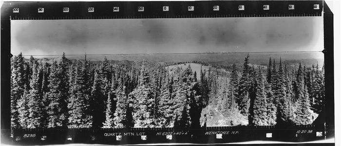
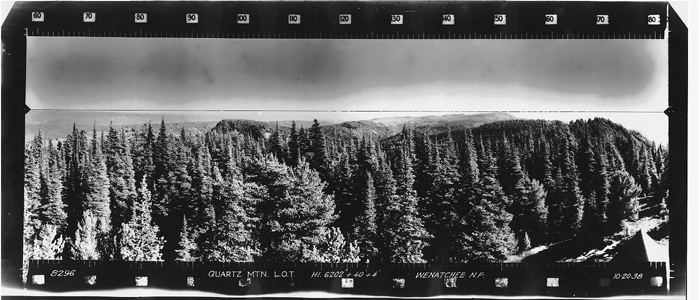
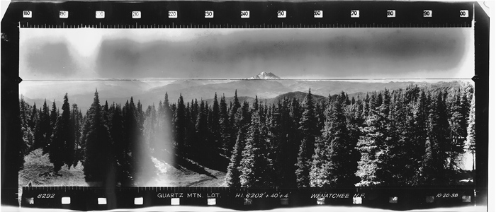
Quartz Mountain 10-20-1938 Looking NORTH
Quartz Mountain 10-20-1938 Looking SOUTHEAST
Quartz Mountain 10-20-1938 Looking SOUTHWEST
Quartz Mountain 1938-1967 Lookout Tower - Taken 10-20-1938
Wenatchee National Forest
Elevation given at 6202 +40 feet off the ground +4 feet more
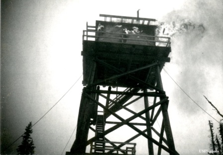
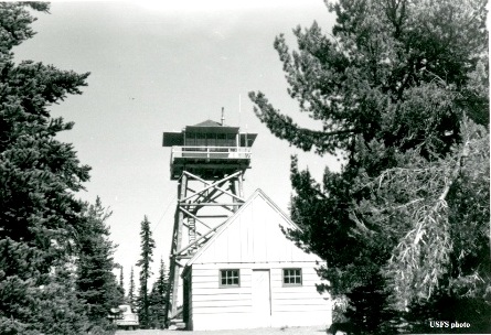
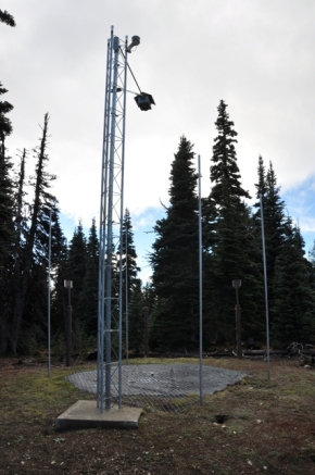
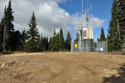
Lots of towers at the true summit in the trees
Osborne Photo Survey
Osborne Photo Survey
1938 Lookout in 1958 and the combination garage - woodshed built in 1938
1938 Lookout in 1967 (year of destruction)


