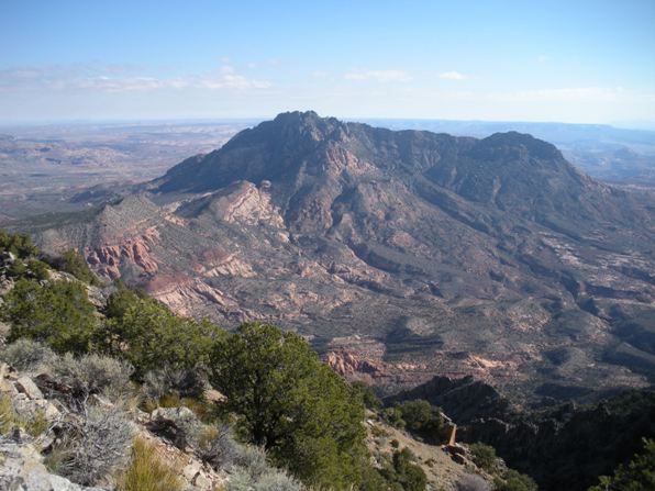
Mt. Ellsworth is the most southern of the Henry Mountains, one of the most remote mountain ranges in the US. From the summit, there is nothing with any elevation nearby other than the other Henrys to the north and Navajo Mountain far to the south across Lake Powell. Mt. Ellsworth is a very rugged mountain but this easy route sneaks up the north ridge avoiding cliffs. Seems about two parties on average climb up per year. Surprisingly there were a lot of climbers from Colorado hitting this peak
There is a climbers trail forming over much of the route although much of it is still talus, rock and loose dirt. Mt. Ellsworth comes in as the 42nd most prominent peak in the state.
Access:
Mount Ellsworth - Henry Mountains
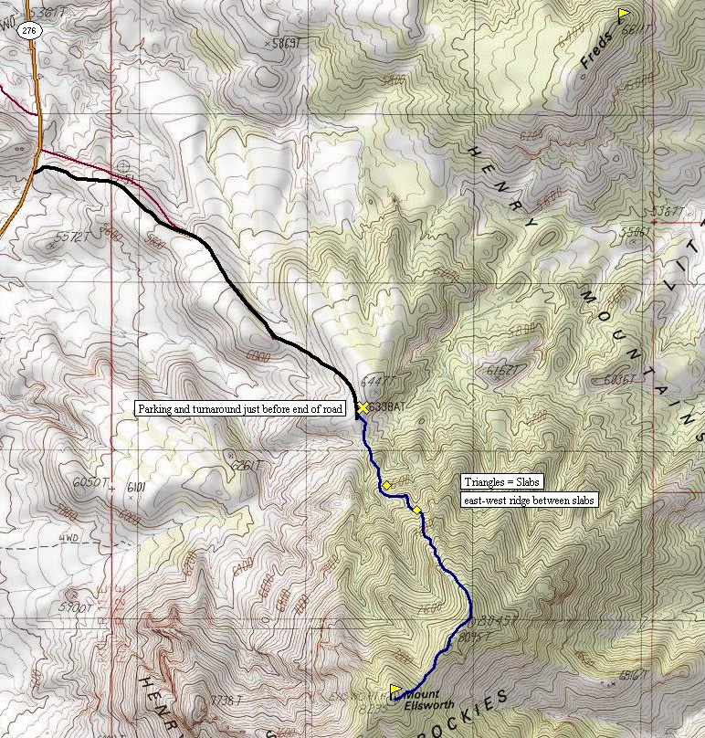
Distance: 1.5 miles
Elevation Gain: 1,897 feet
Summit Elevation: 8,235 feet
Access: 4WD or 1.5 miles extra with 2WD
Utah Hiking & Climbing
Route:
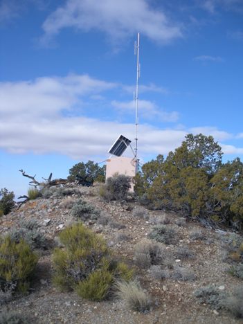
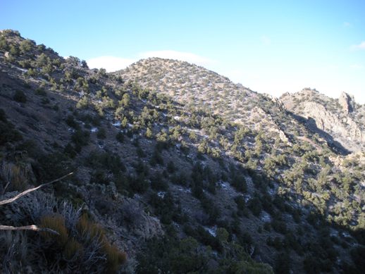
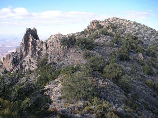
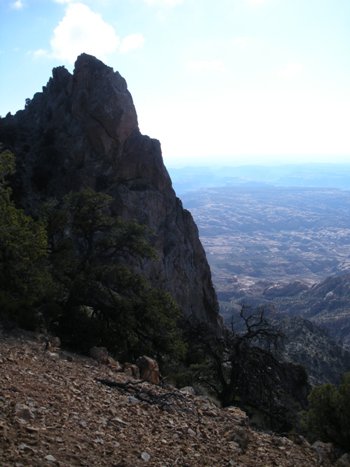
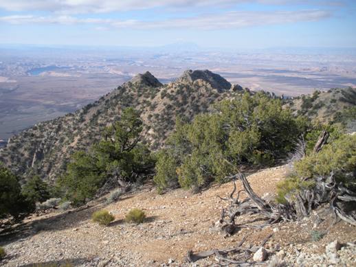
From the end of the road, follow a faint trail (on the left side) down to the lowest point. A climbers trail crosses a few bumps and then begins the climb up. Not too far up is probably the hardest part of the climb as a few slabs of rock must be climbed around. The first I found a fairly easy route around the right side, than traversed above it on a east/west ridge. This ridge goes east several hundred feet before you begin climbing again. Not far above here is the second slab that most climbers cross (based on cairns and the climbers trail). Once over, it is a scramble to the summit ridge below some big cliffs. Although this route is fairly straightforward going up, one should take note of landmarks because the way down could confuse you if you are not paying attention. On the summit ridge, you will climb up and over several bumps before the final climb comes into view. In most places, a trail will help lead you. The final climb is easy enough before you are on a summit with a small radio facility. I was the first up in 7 months but some helicopter had landed within that week.
It takes around 4 hours to get there from the Salt Lake area. From Hanksville, take Highway 95 south until a right at the junction with Highway 276. Follow Hwy 276 to milepost 20 where a 4WD road takes a left. This road is just after a road cut and is very hard to see traveling southbound. The first few sections of uphill are the worst as it climbs above the roadway but you can drive it for 1.5 miles to its end (further than shown on USGS maps). The road is all rock so driving it if wet should not be a problem.
Communication station on top
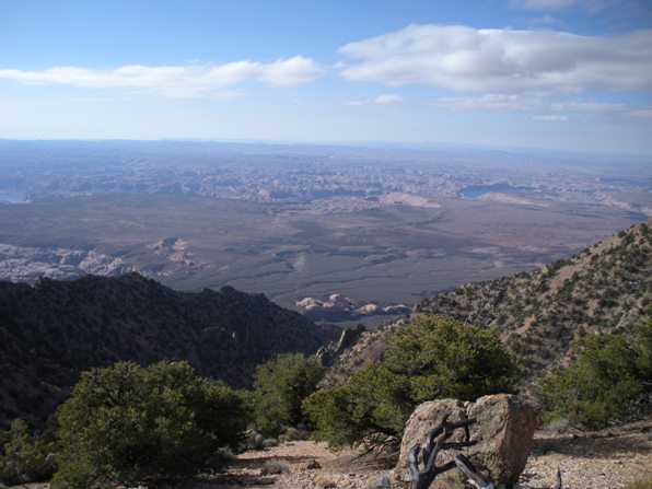
Looking south over Lake Powell and Glen Canyon National Recreation Area
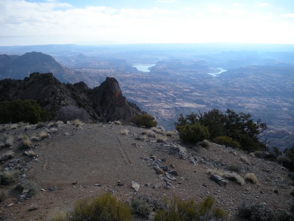
Looking east to Lake Powell (Helicopter landing pad)
Navajo Mountain in the far distance south
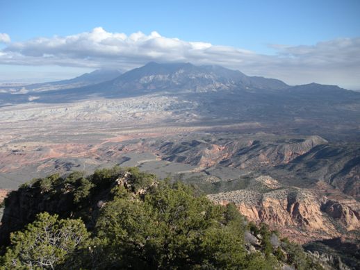
Looking over at Mt. Homes
Looking north to Mt. Hillers and Pennell
On the ridge going to the summit
First views of the true summit
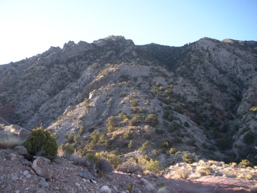
The route up the north ridge from the end of the 4WD road
Mt. Ellsworth from Highway 276
