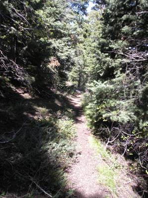
Trail in the forest of Big Willow Creek

Access:
Rocky Mouth Canyon Peak
Distance: 4 miles one-way
Elevation Gain: 5,000 feet
Summit Elevation: 10,292 feet
Access: Paved
Route:
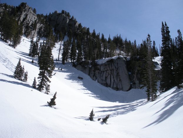
I was not expecting Rocky Mouth Canyon Peak to be such a great climb. I was mainly doing it because it was the closest peak to my home that I had not climbed yet and to check it off the Core 77 list. What I found was an amazing spring climb that reminded me of being in the North Cascades of Washington State. For spring, I would recommend crampons if you are climbing early morning before the snow softens up.
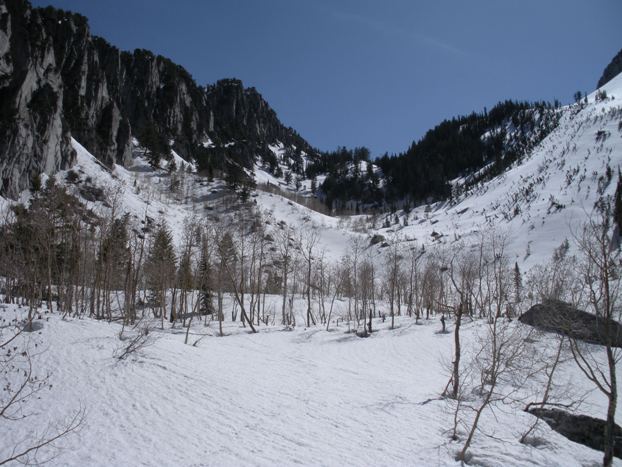
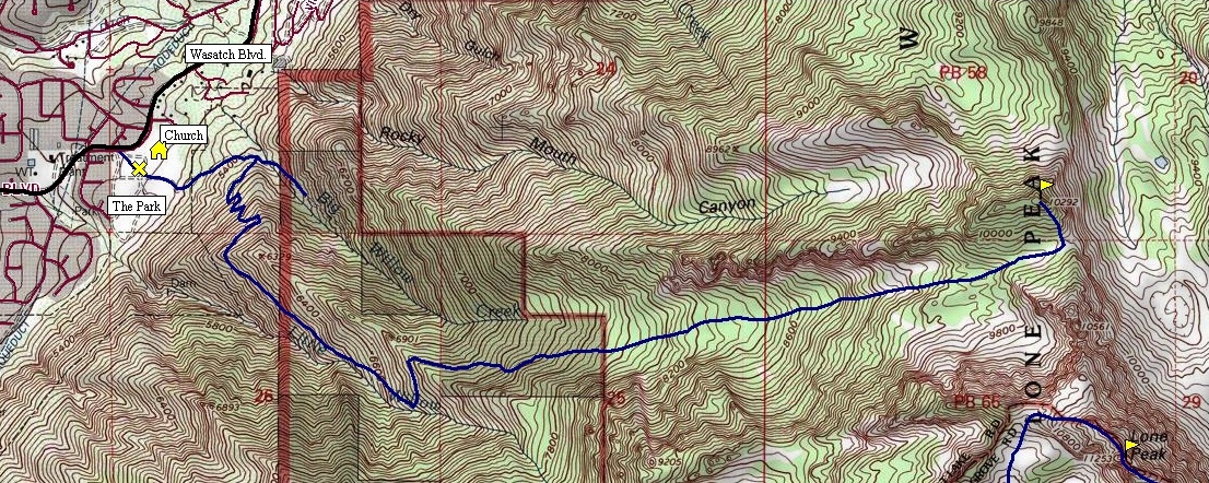
From the eastern end of the parking lot, walk the wide paved trail east. After a minute or two, you see a sign and a dirt trail going left. Follow this old road as it climbs NE to the Bonneville Shoreline Trail and a gate. Go north on the Shoreline Trail behind the gate. Follow this steep old road until it levels out flat as it turns east. Just after curving east into Big Willow Canyon, look for a somewhat hidden trail to your right. Now you are on a real hikers trail for the rest of the route. The trail climbs steeply but is well made. Surprisingly there is some shade here. Soon the trail hits an older trail grade and the going gets much easier. The route will work its way into Little Willow Canyon and will eventually hit a trail split with a sign saying "Avalanche Danger". Take the switchback climbing back over the ridge and into Big Willow Canyon. Now the trail is in a really nice shaded forest. Follow the trail as it crosses a few streams and works its way up to the saddle between Lone Peak and Rocky Mouth Canyon Peak. The last mile or two has many large open meadows. I was on snow here but have been told the trail does exist all the way to the saddle at 9,880 feet. From the saddle, climb the south ridge of Rocky Mouth to its summit, a steep forest and meadow climb.
Make your way to the very south end of Wasatch Blvd. (well south of Little Cottonwood Canyon) on the border between Draper and Sandy. There is a park called Hidden Valley Park (signed from the road), on the east side of the road next to a large church building. Park in the parking lot for Hidden Valley Park.
A panoramic shot showing the long cliffy ridge that separates Rocky Mouth Canyon from Big Willow Creek Canyon (route up on the right).
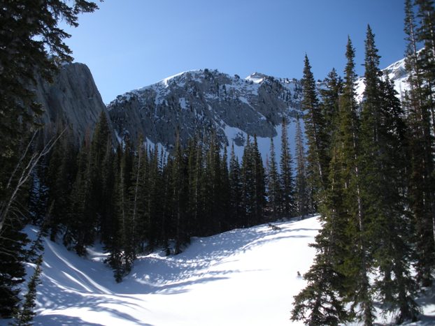
Big open area around 8,200 feet
Around 9,200 feet in a mix of forest and meadows
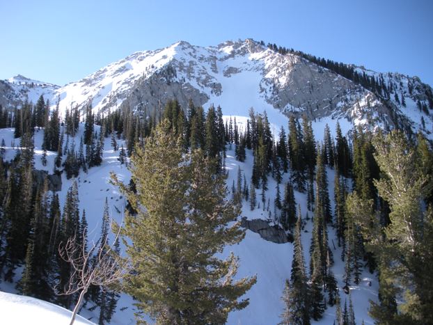
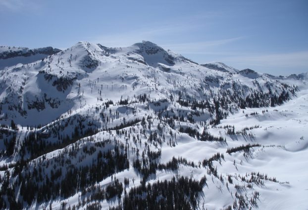
Western ridges of Lone Peak
Western slopes of Lone Peak
WillhiteWeb.com
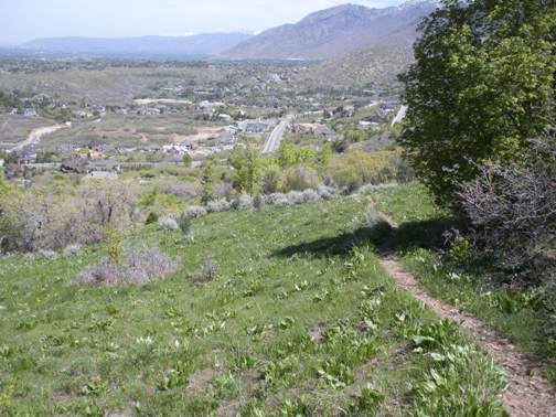
Trail down low above the park
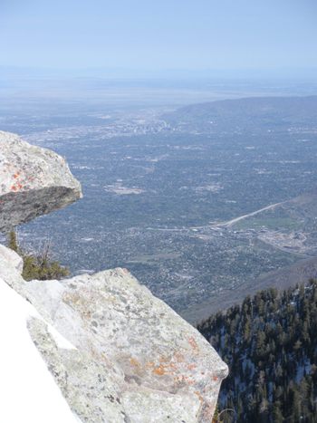
Salt Lake City from just below the summit
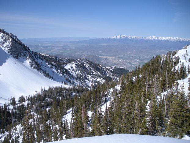
Looking down the route to the city of Draper and the Oquirrh Mountains in the distance
The north side of Lone Peak with South Thunder on left
Salt Lake City to Broads Fork Twin Peaks
South Thunder Mountain

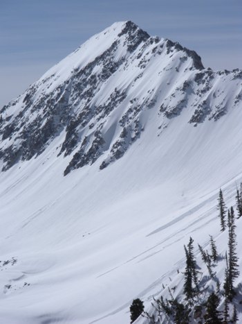
Upper Bells Peak


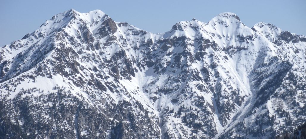
Broads Fork Twin Peaks
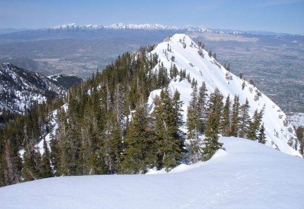
Second summit
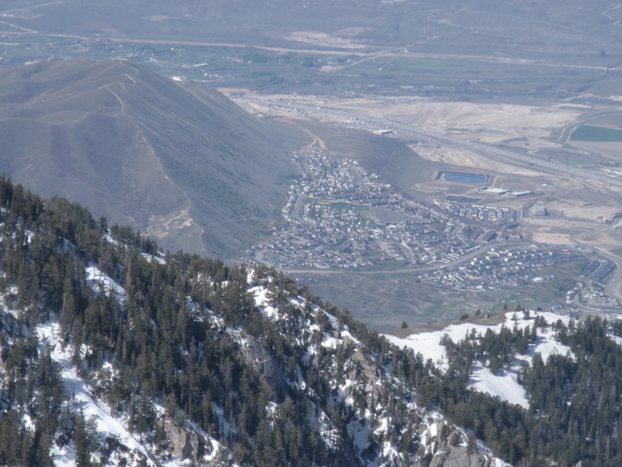
My house was down there on Steep Mountain in Draper


