San Jacinto Peak
California Hiking
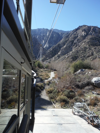
Towering over Palm Springs, San Jacinto Peak rises well over 10,000 feet directly above. San Jacinto Peak is the highpoint of the San Jacinto Range and has nearly 8,300 feet of prominence making it the 6th most prominent mountain in the lower 48 states. The naturalist John Muir wrote about the summit, "The view from San Jacinto is the most sublime spectacle to be found anywhere on this earth!" Many routes up exist but the Palm Springs Aerial Tram whisks people up from the valley to 8,516 feet, making the easiest ascent route. Then it requires a 5.5 mile trail hike up with a remaining 2,500 vertical foot climb. One very hard way is the famous Cactus To Clouds Trail with 10,400 feet of elevation gain, starting in Palm Springs!
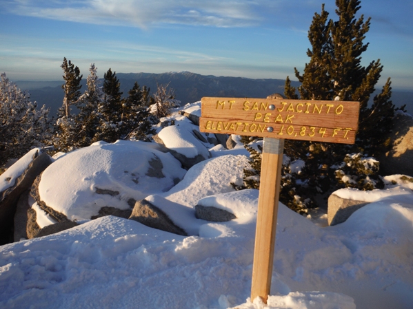
Summit Elevation: 10,834 feet
Distance: 5.5 miles
Elevation Gain: 2,500 feet
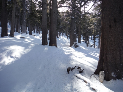
From the top of the tram, a paved trail switchbacks down to the forest floor. Within minutes, you reach a ranger station where permits are required for entry into the San Jacinto Wilderness and State Park. From there, a sign says "To Wilderness" which seems odd. Most of the trails have good signage. In winter, following the stamped down trail is easiest. Although my map showed two trails to the summit, only one was signed along the route and only one had tracks through the powder snow. Three miles take you West through Round Valley to Wellman Divide. An additional 2.5 miles go north from Wellman Divide to the summit.
Route:
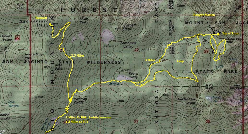

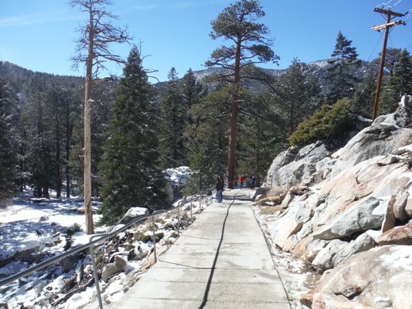
Paved trail from the Tram Station down to the Long Valley
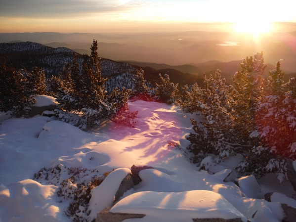
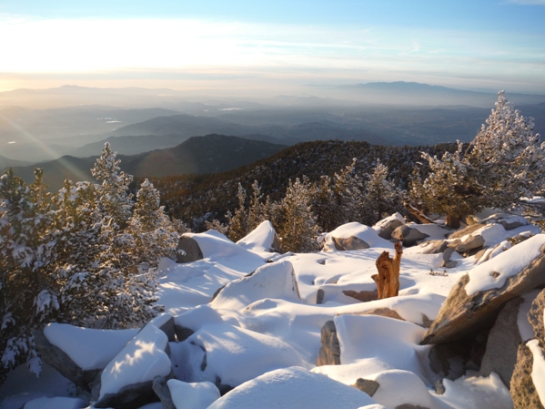
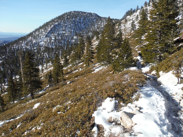
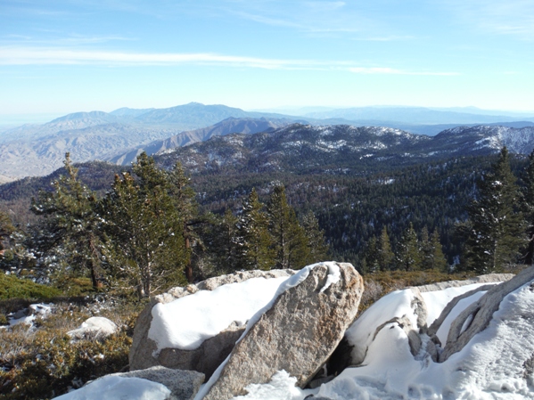
Views open up the last few miles
Jean Peak is almost as high as San Jacinto Peak
Summit sign
Looking West you can see the sun set into the Pacific Ocean
Looking south you can see Mexico on clear days
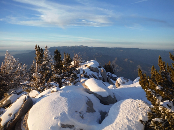
Looking north to San Gorgonio Mountain - Highest in Southern California
Start with a nice tram ride to 8,500 feet
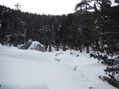
Expect heavy snow on northern slopes in winter
The second Ranger Station, this one in Round Valley
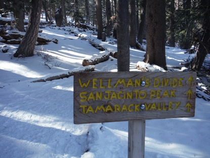
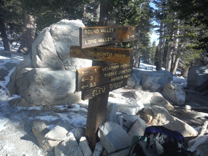
Lots of signs in route
Wellman Divide sign at 9,700 feet
Note: 80 foot contours
10,000 feet - lots of trees...must be far south
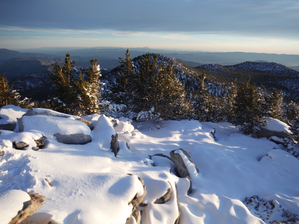
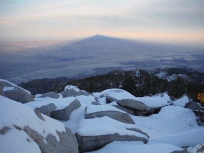
Looking East from the summit with shadow of San Jacinto Peak
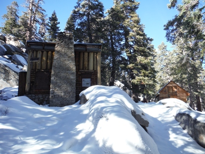
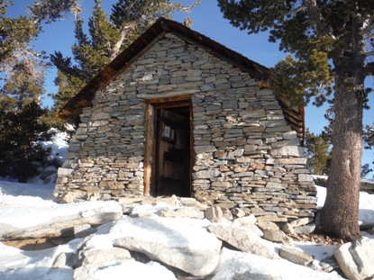
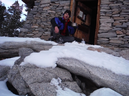
Summit shelter
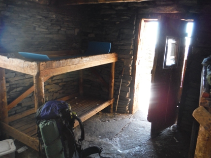
Sleeping on the upper bunk was too hard to resist, even came with a pad
Dinner on the porch


