Pacific Crest Trail - San Jacinto State Park to Hwy 74 (30 Miles)
California Hiking
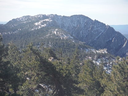
Hiking north on the PCT, the San Jacinto Mountain Range is the first major test for hikers as they must climb up to the 9,000 foot level on San Jacinto Peak. Along the range, the trail drops up and down multiple times climbing the slopes of multiple peaks. Most of the route has no water during most months, requiring dropping off the ridge at key points hiking one or two miles downhill to a spring. During my February visit of this section, I chose to hike from the 9,000 foot highpoint at the entrance to the State Park, going south down to 4,900 feet on Highway 74. This section of the PCT passes through several climate zones, transforming your hike from mountain to desert conditions. I was able to find small snow patches to melt snow along the route, never requiring me to drop off the trail to a spring.
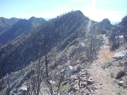
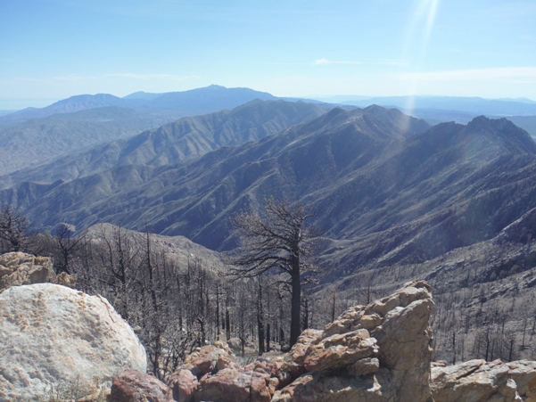
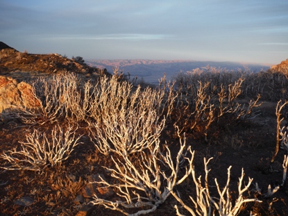
Much of this route was damaged by a fire in July of 2013. The 2014 PCT hikers were forced to skip this section of trail. The 2015 hikers will be forced to do the same. It should be opened by 2016. Although the Forest Service claims up to 2 miles of trail was obliterated, some sort of trail tread, however faint is still there in all but one small spot. But, the trail needs serious attention in places. Bushes and weeds are overgrowing the trail in places making it hard to follow. Rainstorms and lack of maintenance is eroding tread. Good map skills are required until the trail is fully repaired.
Note:
My main objective was to summit San Jacinto Peak the first day, followed with hiking the PCT as a bonus. I started with a 5.5 mile hike from the top of the Palm Springs Aerial Tram to the summit. At about the midway point on this summit trail, a junction is met called Wellman Pass. From there it is 1.3 miles to the PCT connecting at the 9,000 foot PCT highpoint at the entrance into San Jacinto State Park. (So about 4.5 miles from the Tram if you skip the peak, or around 7 with the peak). This puts the trek with the peak around 37 miles, not including any detours for water.
Why This Route:
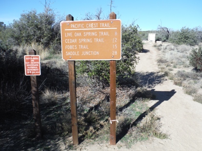
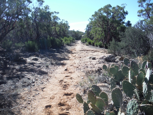
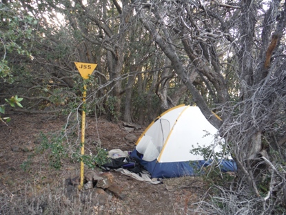
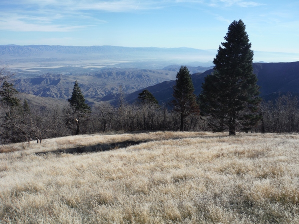
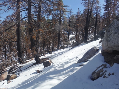
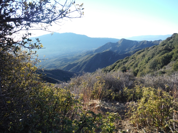
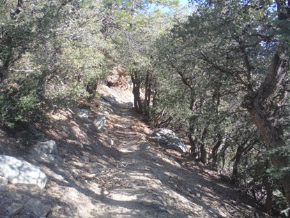
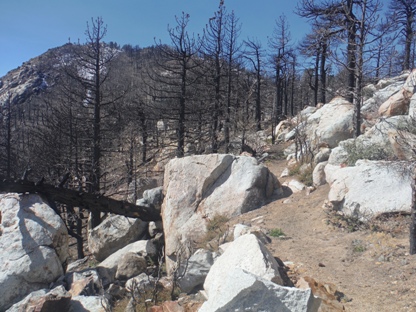
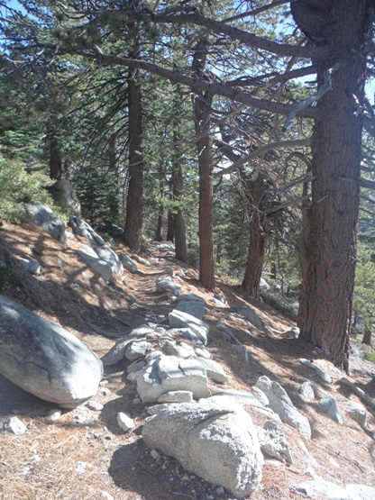
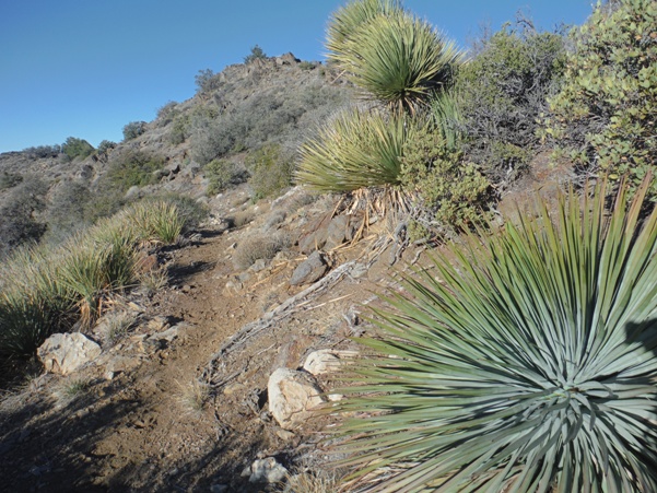
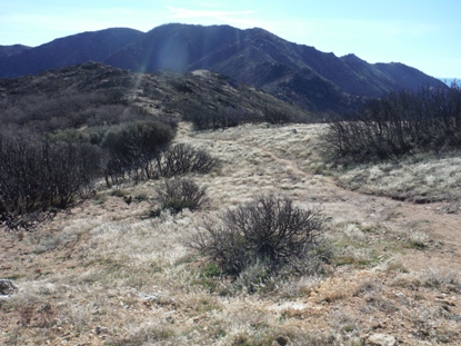
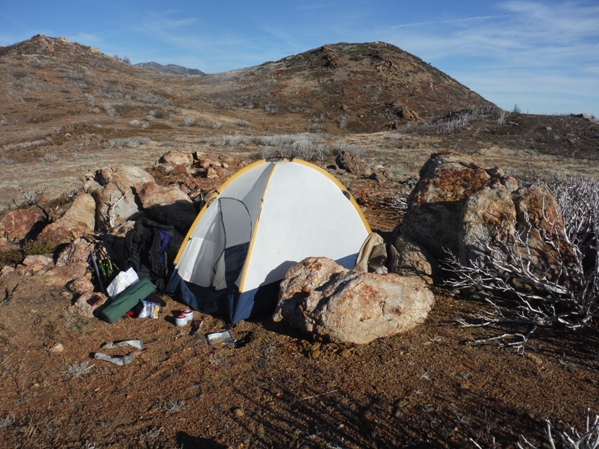
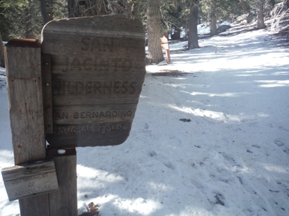
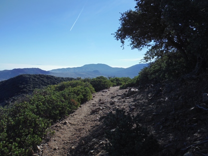
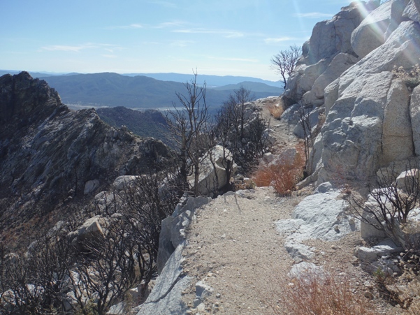
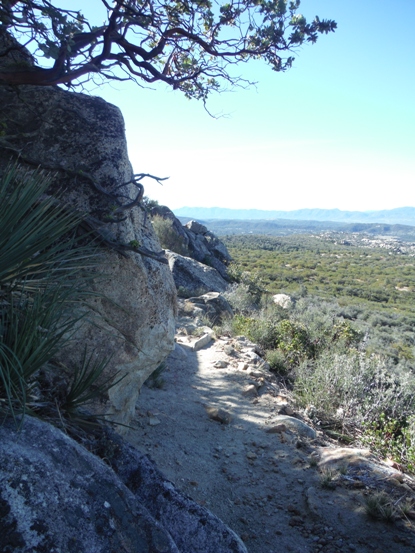
At PCT junction where it enters Mount San Jacinto State Park
Dropping down to Saddle Junction
Tahquitz Peak from the north
Traversing the north side of Red Tahquitz
The south side of Red Tahquitz
Near South Peak
Looking south from the shoulder of Red Tahquitz
Dropping to Fobes Saddle, Palm View Peak in distance
Camping just below Apache Peak
Coachelle Valley from the slopes of Spitler Peak
Apache Peak area
Camping near Pyramid Peak
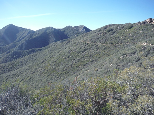
Trail along Penrod Canyon
Highway 74 PCT Sign (Bull Canyon Trailhead)
Near Lion Peak
Near Live Oak Canyon
More burn area
Near Live Oak Canyon
From saddle west of Pine Mountain
Penrod Canyon & Prickly Pear
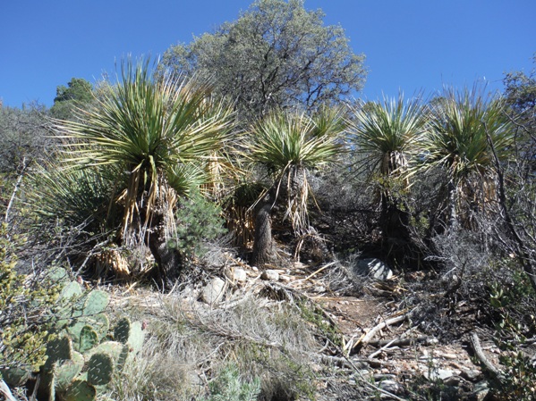
Yucca


