Widgeon Lake Trail
It does not take much convincing after seeing a picture of Widgeon Lake to plan a visit there. To reach the lake, it first requires a one hour paddle through some stunning scenery. Then an adventurous hike following an old abandoned logging road, followed by a steep fishermans trail. Of course, if you have lots of money, you can reach the lake by float plane, a common sight every afternoon. The hike is located in Pinecone Burke Provincial Park, an area that feels quite remote even though its close proximity to Vancouver.
WillhiteWeb.com - Canada Hiking
Access:
From the US, take I-5 to Blaine and take the 543 Truck Route Border Crossing. Continue north on Hwy. 15. Just before Route 1, turn right at sign for Golden Ears Bridge. Follow Golden Ears Way to the bridge, over it, and well beyond through Pitt Meadows. Turn left on 203rd, then right on 132nd. Then a left on Neaves/Pitt Lake Road to the end.
Route:
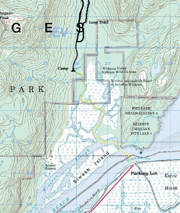
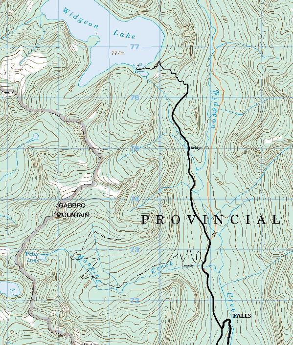
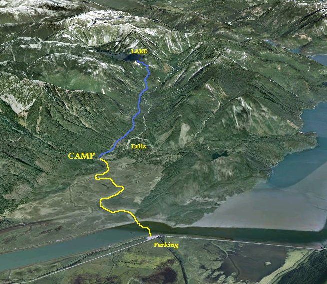
First paddle the route through the Widgeon Valley National Wildlife Area. (See link below). From the campground, the well signed trail is obvious. Walk the old road 2.4 kilometers to the second trail split for Widgeon Falls. Turn left and continue up the valley. This section can get brushy at times. The trail continues passing a cascading falls at Hanging Creek, then a large falls and bridge at the creek that comes out of Widgeon Lake. The trail/old road now starts climbing until finally, the road ends and the fishermans trail begins. It is here that many hikers flip out as the trail just goes straight up, a trail built by boots, not tools. Follow the flagging and tape on trees or find yourself standing in the woods with nowhere to go. The trail tops out on a ridge high above the lake with occasional views and a few tent spots. Turn left and follow a brushy trail down to the lakeshore where nice rocks make for some good viewing.
Distance: 8.8 kilometers (5.5 miles)
Elevation Gain: 700 meters (2,300 feet)
Lake Elevation: 771 meters (2,530 feet)
Access: Paved + One Hour Paddle Trip
Widgeon Falls Loop Trail:
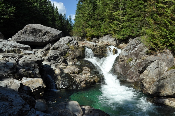
This loop trail offers views and access to Widgeon Creek. It is a very popular area for swimming and cooling off in the summer. The fastest route to the falls is to take the road trail 2.4 kilometers to the Widgeon Lake turnoff, then turn right and go 0.4 kilometers to the falls. Return by the creek trail which is much slower but scenic with many ups and downs.


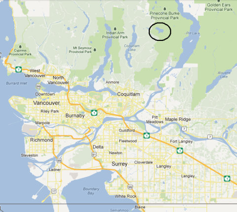
Vancouver Area Map showing location of Widgeon Lake
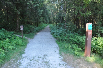
Trailhead at the Widgeon Creek Campsite
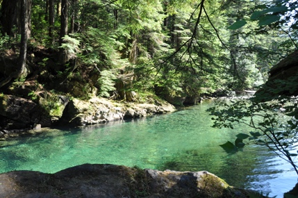
Swimming pools along the Widgeon Creek Falls Loop Trail
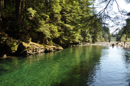
Green pool along the Widgeon Creek Loop Trail
Widgeon Creek Falls Loop Trail
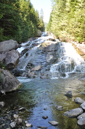
Widgeon Falls
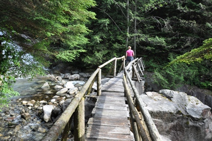
Bridge over Widgeon Lake Creek
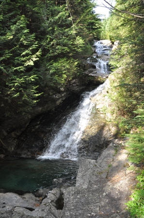
Falls where trail crosses Hanging Creek
Falls where trail crosses Widgeon Lake Creek
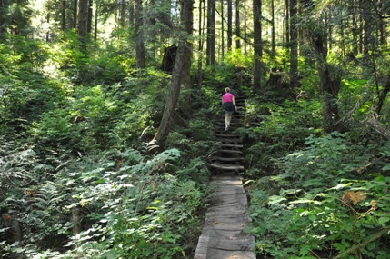
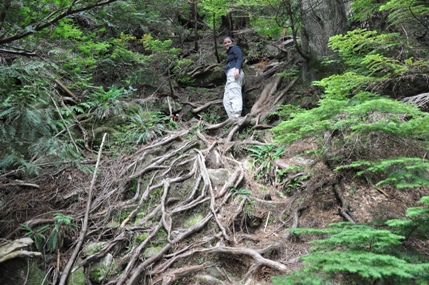
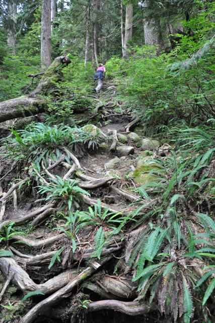
The last 1.5 kilometers look like this
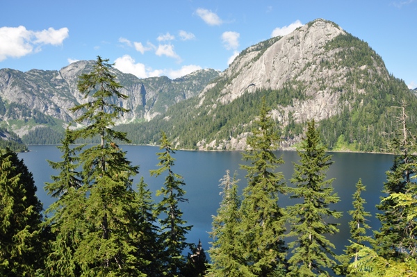
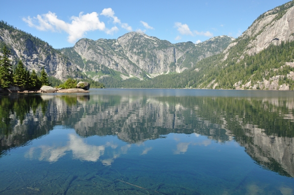
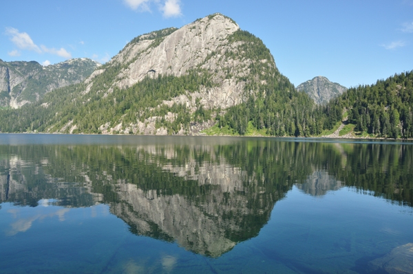
Widgeon Lake from where the trail first hits the lake
Widgeon Lake from the shore
Widgeon Lake from the shore
Widgeon Lake from the shore
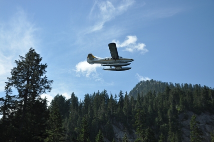
Float plane coming in for a landing
Map Below: Trail show as black. Water trail shown as yellow.
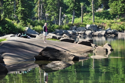
A big piece of granite


