Grand Canyon National Park - Tuweep Area
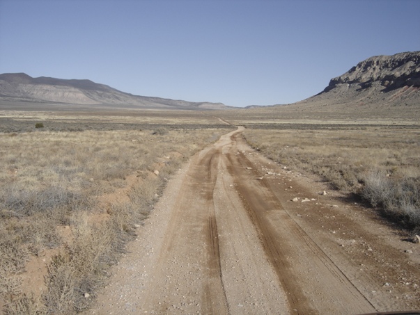
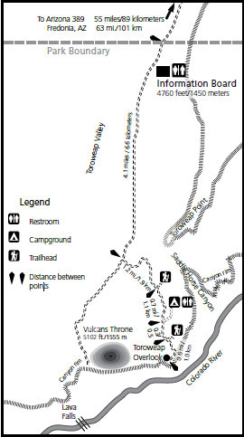
Tuweep is one of the most remote areas of Grand Canyon National Park, the visit to the Tuweep area is as wild as hiking to the bottom of the canyon. Possibly even more remote as you may be hours from any other living person. Yes you can drive here but do not let that fool you into thinking it is going to be easy. To get here, all routes are secondary county roads, graded occasionally, and generally in fair condition. Dust wallows several feet deep may appear during dry periods. The last three miles across the slickrock are the roughest, requiring a high clearance vehicle. Allow two to three hours travel time from the highway to the overlook. RVs, trailers, or low-clearance vehicles are not recommended. All routes may be impassable after heavy rains and are subject to flash
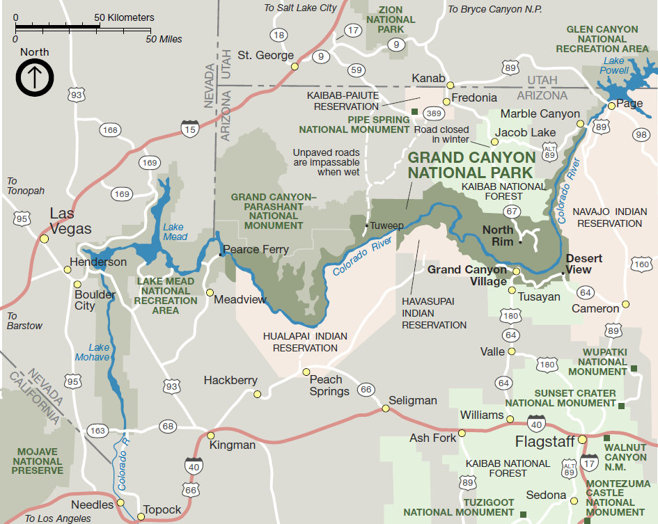
flooding. Twenty-five percent of visitors experience one or more flat tires. Dangerous curves are often unmarked, and posted mileages may be inaccurate. Cell phone coverage is spotty or nonexistent in this area. Since there are few if any, year-round residents, assistance is not guaranteed on any route. For these reasons, no one should attempt the trip without ample preparation and knowledge of the hazards associated with remote desert travel. Travelers should carry extra water, food, and gasoline. Bring good tires including at least one usable spare and parts, tools, and knowledge to handle vehicle and tire repairs including tire plugs and a portable air compressor. A tow costs $1,000 to $2,000. The National Park Service charges no entrance fee for Tuweep, nor for the campground. Sunshine Route (BLM Road 109) is the primary route which leaves Highway 389 about 8 miles west of Fredonia. It is 61 miles long and is the most reliable route, but is subject to washboarding and dust.
WillhiteWeb.com - The Grand Canyon


From Highway 389 where you leave the pavement on the Sunshine Route looking south toward Tuweep
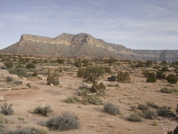
Mt. Trumbull
Sunshine Route from the north end of the mountains near Trumbull looking at the drive back north to Fredonia
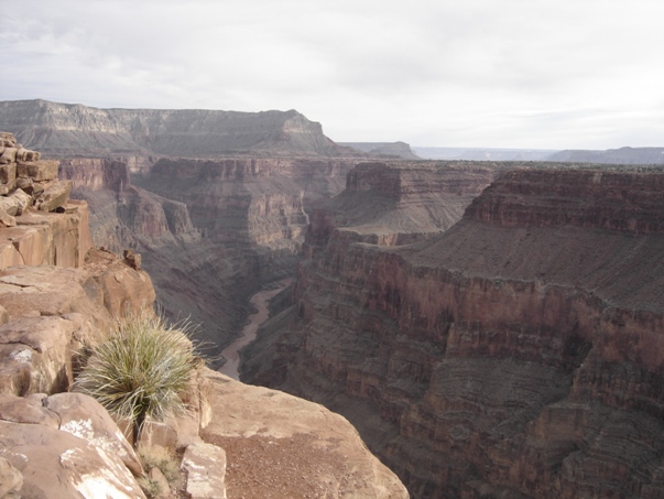
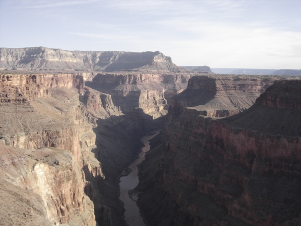
Toroweap Overlook
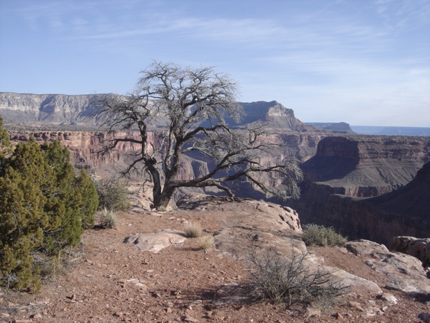
Toroweap Overlook
Toroweap Overlook
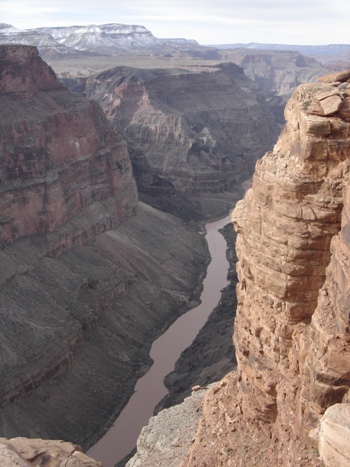
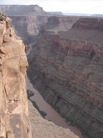
Colorado River
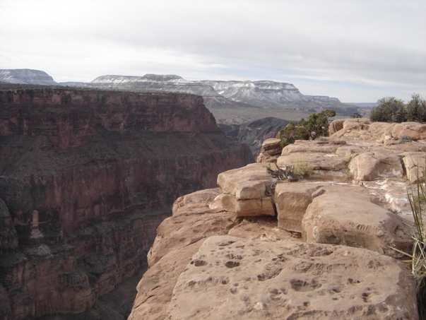
Toroweap Overlook
Toroweap Overlook
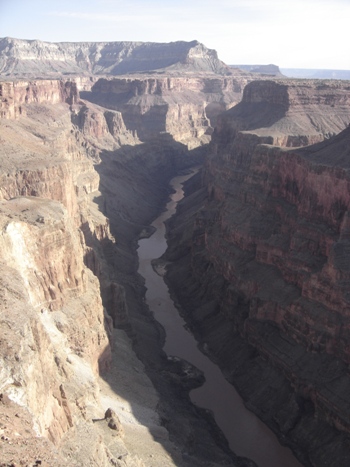
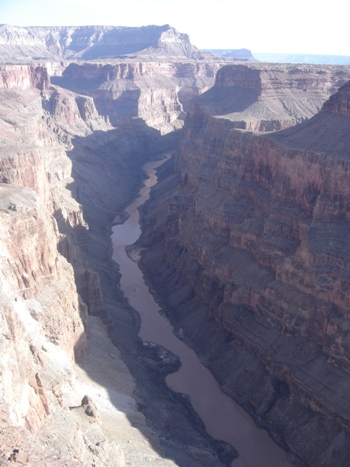
Toroweap Overlook - 3,000 vertical feet above the Colorado River
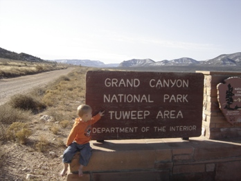
Entrance Sign to Tuweep Area
Grand Canyon National Park
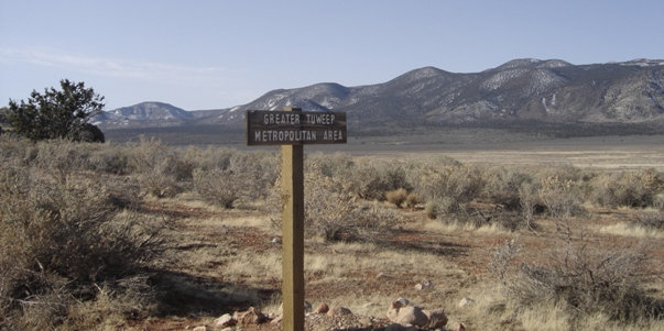
Sign for the Greater Tuweep Metropolitan Area.....one ranger cabin
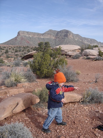
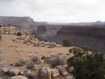
Toroweap Valley
Toroweap Point
Toroweap Point
During winter travel (December through March) the main Sunshine Route becomes muddy and impassable when covered by melting snow. Travel may be possible when the road surface freezes at low temperatures (below 20F /-7C), but roads become impassible again as the temperature rises. During the winter roads, roads often are passable only between 4:00 a.m. and 8:00 a.m., if at all.


