Grand Canyon National Park
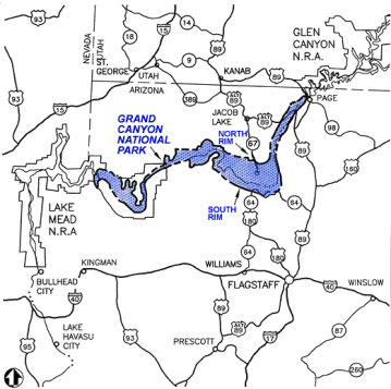
Everyone knows of the Grand Canyon. It is probably the most known natural landmark in the United States. Around five million people visit the Grand Canyon every year. For many, the landscape is incredibly powerful and inspiring. The canyon is a mile deep, up to 18 miles wide and the Colorado River at the bottom snakes 277 river miles long. Most visitors see the canyon from their car at overlooks along the South Rim inside the National Park. The South Rim is the easiest access and it is open all year.
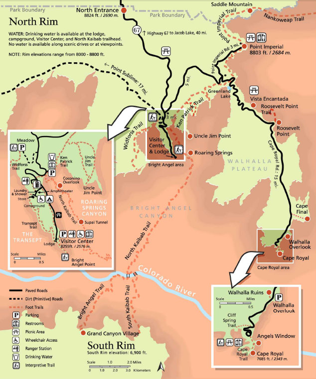
A much smaller number of people see the canyon from the North Rim, which lies just 10 miles directly across the Canyon from the South Rim. The North Rim rises a thousand feet higher than the South Rim, and is much less accessible. Heavy snows close the road to the North Rim from late October to mid May of each year. If you did want to drive it, the drive is 220 miles by car (a 5 hour drive) from the South Rim Village to the North Rim Village.
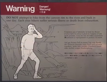
The Inner Canyon includes everything below the rim and is seen mainly by hikers, mule riders in route to Phantom Ranch, or river runners on multi-day trips on the Colorado River. To hike across the canyon the South Kaibab Trail crosses the Colorado River on a narrow foot bridge 70 feet above the water. It is a 21 mile hike to go "Rim To Rim," with a vertical descent of one mile followed by a climb of 1 mile. Most make this an overnight hiking trip.
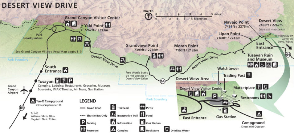
For most people, a visit might include attending a ranger program, going to a visitors center, the museums, a gift shop, or an easy hike along the rim. In your own vehicle you can tour the Desert View Drive, 25 miles to views of the river at Moran, Lipan and Desert View Points. At Desert View Point, climb to the top of a 70 ft. tall stone Watchtower for a panoramic view that extends for more than 100 miles on a clear day.
The other must do drive on the south rim is to tour the Scenic Hermit Road. It offers some of the best scenic views, but you must use the free shuttle bus service between March 1 - Nov. 30. The other months are open to private vehicles.
WillhiteWeb.com - The Grand Canyon
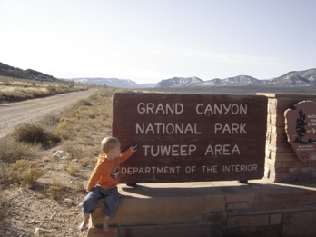
Tuweep is one of the most remote areas of Grand Canyon National Park, the visit to the Tuweep area is as wild as hiking to the bottom of the canyon.
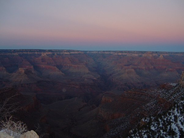
Evening sky over the Grand Canyon
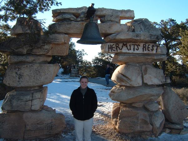
Hermits Rest
Hermits Rest Viewpoint
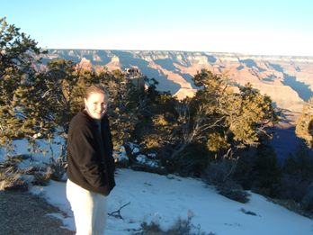
Snow on the south rim in January
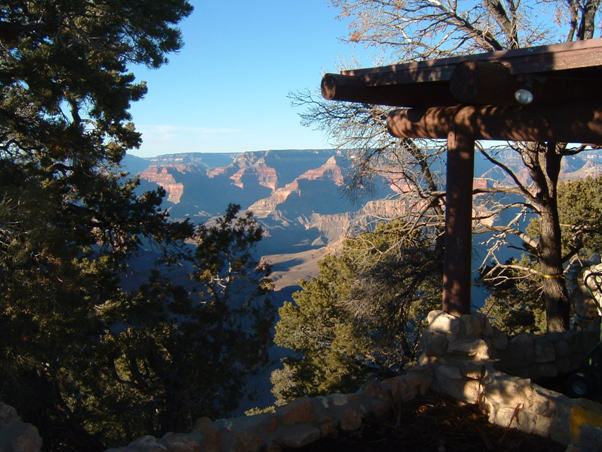
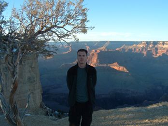
South Rim viewpoint
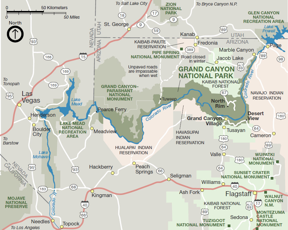
Area map for the Grand Canyon
South Rim - Desert View Drive Map
North Rim Map
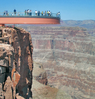
Note: The Grand Canyon Skywalk is in a side canyon of the western Grand Canyon South Rim off the main canyon. It is owned by the Hualapai Indian tribe and not inside the National Park.
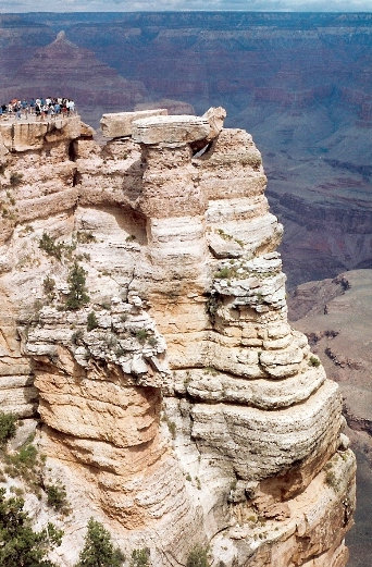
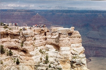
Mather Point
Mather Point (at the visitors center)
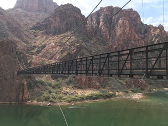
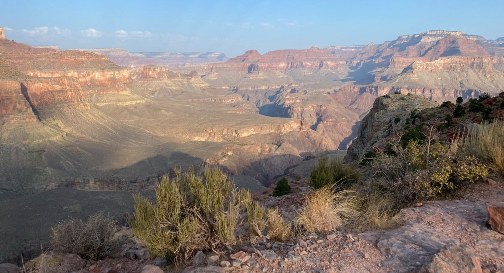
A hike to the bottom of the Grand Canyon was on our hiking bucket list. Not too bad if you are fit.
Morning light at the Grand Canyon
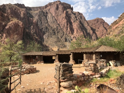
Stable at the bottom of the canyon
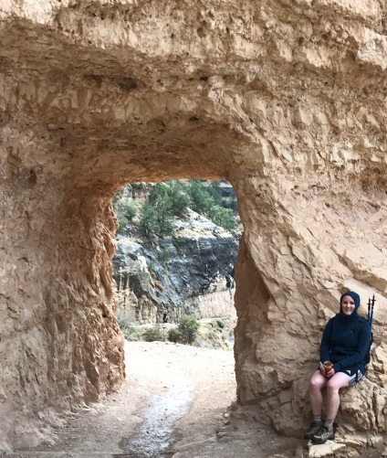
Tunnel near the top of the Bright Angel Trail
Warning sign about hiking down and out in one day


