
Wedge Mountain
Alpine Lakes Wilderness
Distance: 2 miles
Summit Elevation: 6,885 feet
Elevation Gain: 2,400 feet
Difficulty: Class 2 with Class 3 at the true summit.
Access: Rough Dirt, 4WD/High Clearance Recommended
As one of the highest mountains on the far east side of the Cascades, save this one when the west side is getting hammered with rain. Wedge Mountain has a commanding view sitting between the Enchantment Lakes area and the vast expanse out over eastern Washington. Over the years, two main routes have developed. The one described below has an excellent trail with a trailhead quite high on the mountain. Unfortunately, getting there the road is rather rough and narrow so bring a trusty vehicle.
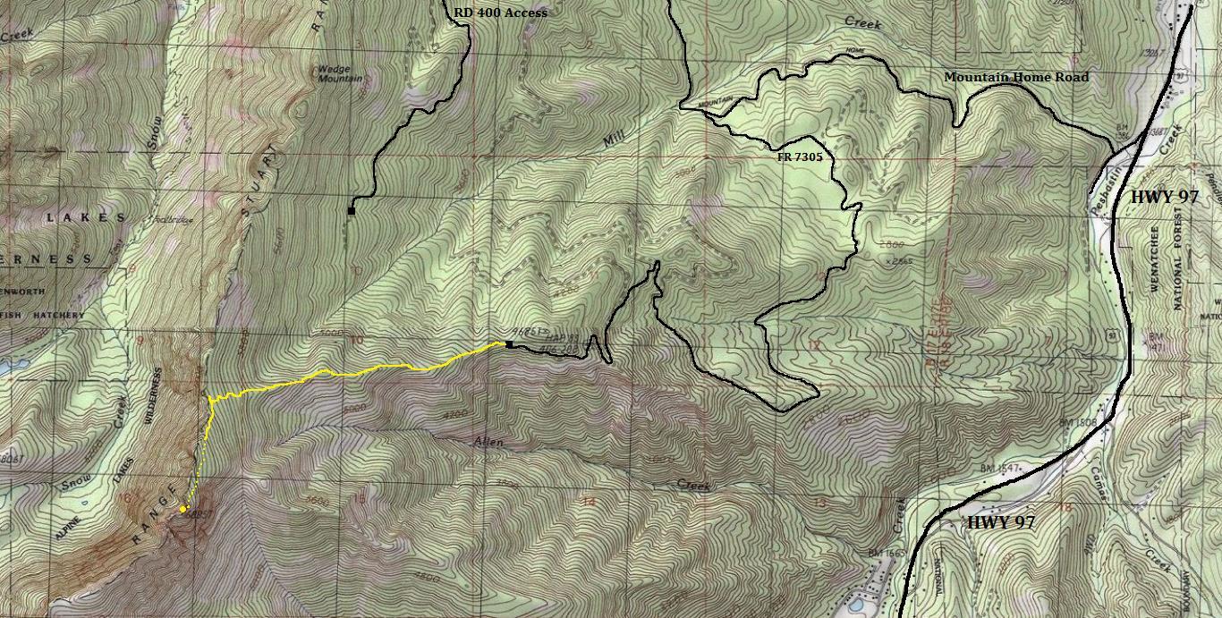
From Highway 97, between Blewett Pass & Peshastin, turn off the highway at Mountain Home Road. In a short distance is a sign for a right turn to "Leavenworth and Wedge Mountain. Follow this road (also known as FS 7300) for 2.6 miles to the Mill Creek Road (FS 7305). You can also reach this point by driving Mountain Home Road out of Leavenworth for 6.7 miles. The Mill Creek Road isn't as nice and gets worse as you drive the 4.7 miles to the trailhead. Using map or GPS helps avoid any wrong turns. You will want 4WD high-clearance although some can push a standard car to the trailhead. Do not confuse this with FR 400, a different route, which is written in many books and trip reports.
Access:
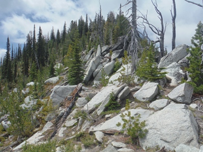
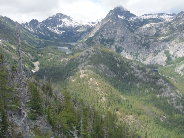
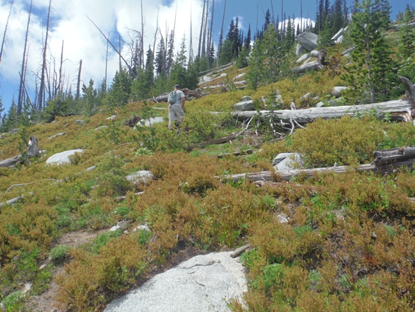
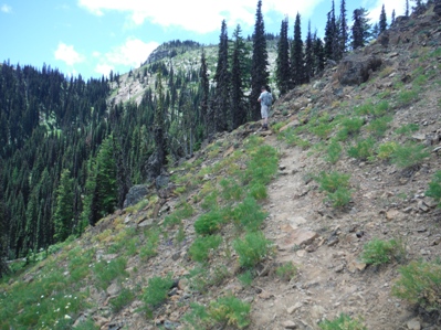
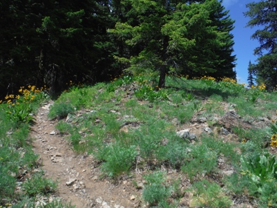
The trail starts on the old retired road, pushing higher up the ridge, but the road quickly becomes a standard trail. Views open up soon as the trail goes along a rib, then through a burn area as it gains the main north/south ridge. Once on the ridge, you have the big views into the Enchantments. Many stop here but a trail does continue left, up the mountain. Eventually, the trail fades but the going is easy going with very little brush, staying near the ridgeline. You're near the summit when you reach a narrow rocky traverse to an obvious rocky summit. You can either do the exposed traverse or drop down a gully 50 feet, traverse 50 feet on ledges, then scramble up class 3 to the summit.
Route:
Ignore maps showing the summit of Wedge Mountain at point 5,840. Everyone just ignores this tame point for the obvious highpoint at 6,885, where you also find the register.
Note:
True Summit
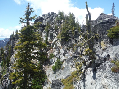
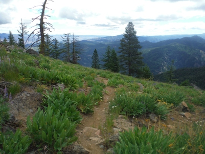
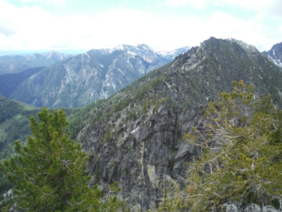
View of Wedge Mountain from Boundary Butte
Trail views near the start
On the main ridge heading to the summit
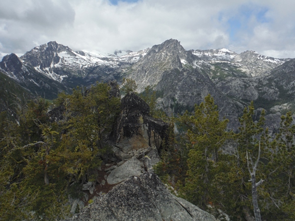
Looking toward the summit block
The next higher spot on McClellan Ridge from the Wedge Mountain 6,885
Looking down at the named Wedge Mountain on maps
Hiking the rib up to the ridge, looking southeast
Working toward the summit.....lost trail but brush is easy
Lower & Upper Snow Lake on left with McClellan Peak above, The Temple in center, Nada Lake on right
McClellan Peak, The Temple adn Cannon Mountain from the highpoint of Wedge Mountain
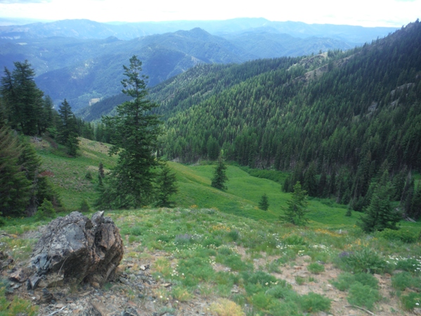
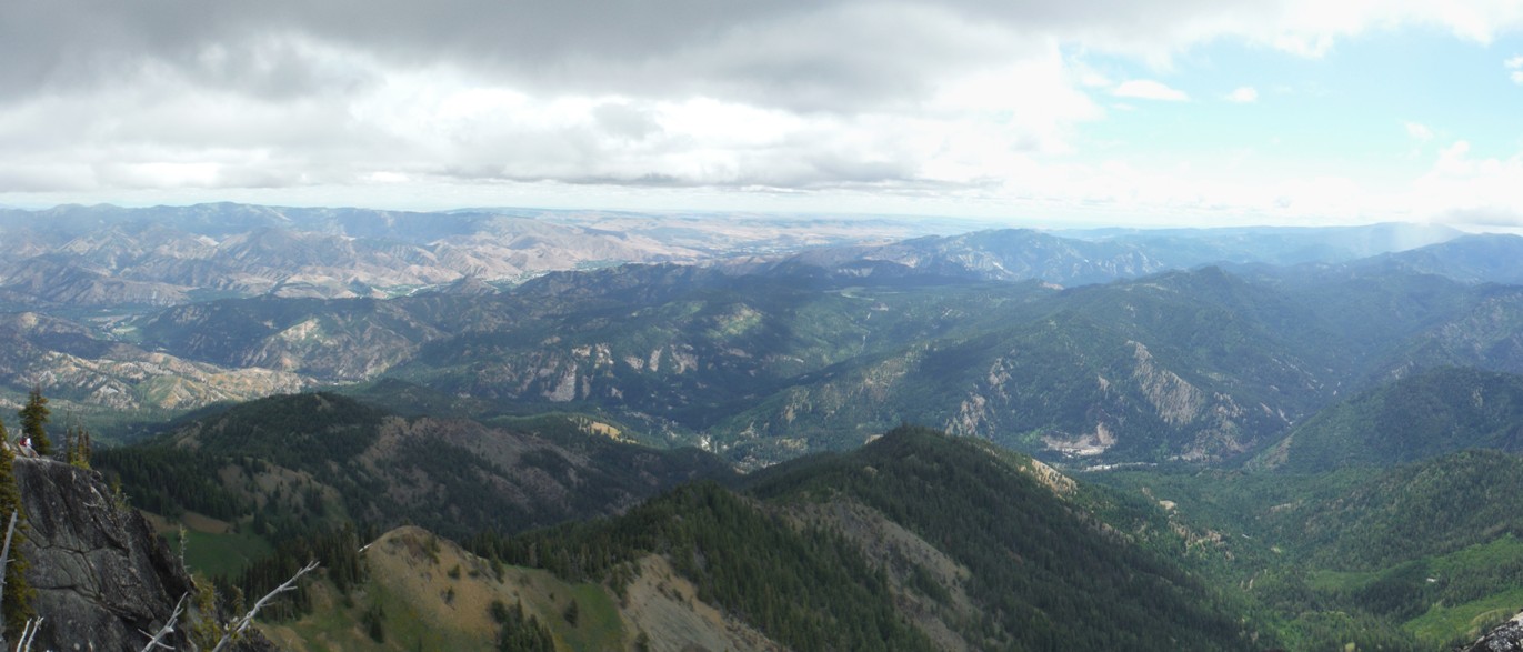
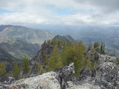
Below: Looking east from Wedge Mountain


