Nisqually State Park
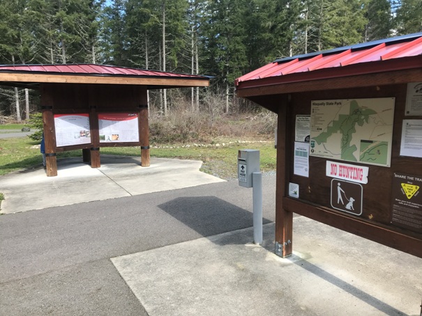
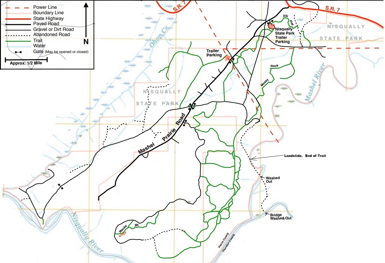
One of the newest State Parks is very close to a whole lot of people in South Pierce County. Being in route to Mt. Rainier, it could even be a fall back if the weather looks horrible further in the mountains. The state park has the beginnings of some infrastructure like a nice trailhead parking lot, some restrooms and information kiosks. The trail system on the other hand, as of 2022, had almost no signage. If you have the park map in hand and stalwartly follow it, getting around is pretty easy and the map is accurate. This park so far (in my opinion) has very little to offer other than a place to get some exercise, but there is a 50 year development plan, so be patient. The forests are pretty bad and mismanaged and they will take a few decades to become enjoyable, but there are pockets of goodness. A future plan with bridge over the Mashel River to connect to the Pack Forest Trails will be amazing. A good portion of the park is also contributed by the Nisqually Tribe.
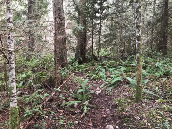
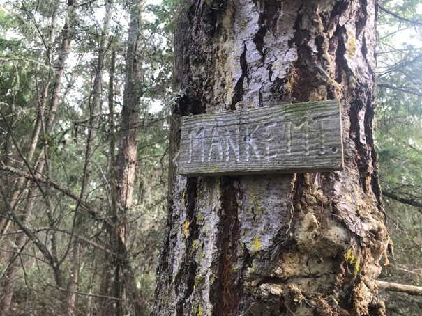
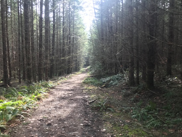
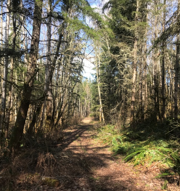
If you need a goal like I do, you can stick to main old road trails and do a 5 mile loop that will give you a flavor of the whole park. At the far end of the park is Manke Mountain, so you claim a summit, even if it is only 908 feet tall. The road goes right over the top but a very short side trail takes you to the lower point where a sign on a tree says Manke Mt. Be aware that in winter, some of the side trails will be muddy and retain lots of water. Because this State Park is a popular horse riding destination, the trails can be fairly mucky in places, but I would guess it is the horse community that made the trails, so fair is fair. Stick to the old road trails if you want to keep your boots dry.
Route
WillhiteWeb.com
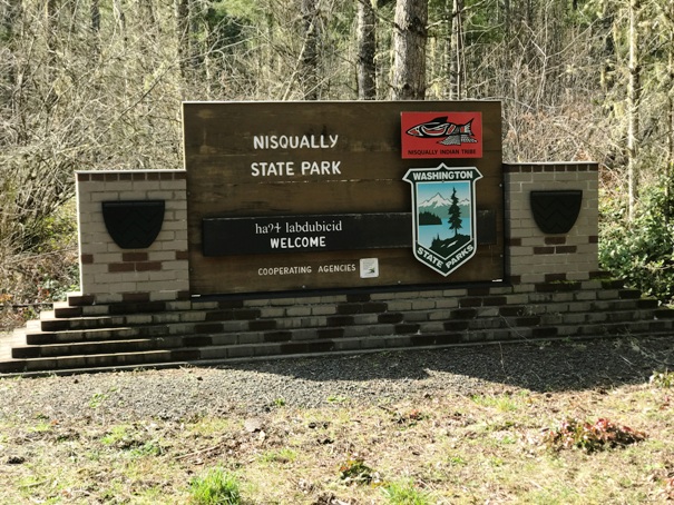
Entrance sign on Mashel Prairie Road
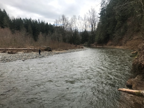
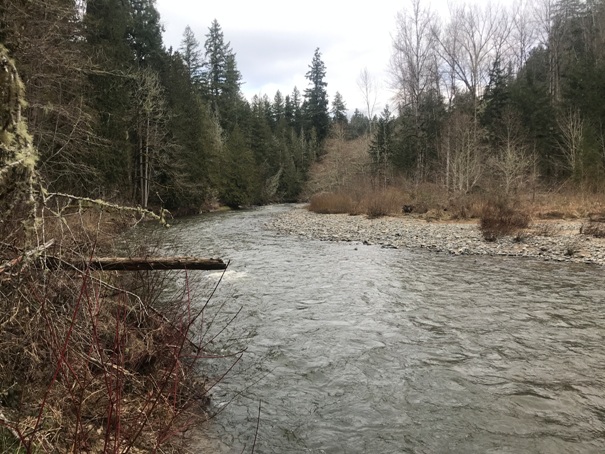
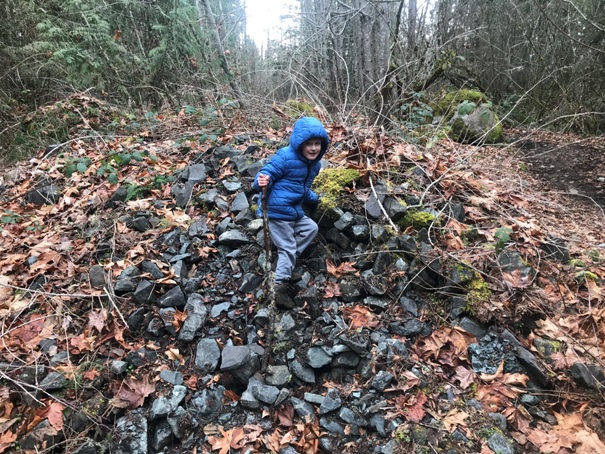
An old road (now trail) (shown on park map) drops down to the river but hits a washout. The washout is truly an impassable landslide but some river access is possible, but only in summer will there be low enough water levels to get out on the river bars.
Little Mashel River Access
Mashel Prairie Road, Eatonville, WA 98328
Although the trail system is above the river in many places, no official trails drop down to the river. Park property is on the other side of the river as well but no connections yet.
Nisqually River Access
From Spanaway, take Highway 7 south for 18 miles. Look for a right turn off Highway 7 onto Mashel Prairie Road. In less than a quarter-mile, turn left into the parking area for Nisqually State Park. Or go west out of Eatonville on the Eatonville Highway and figure it out.
Access
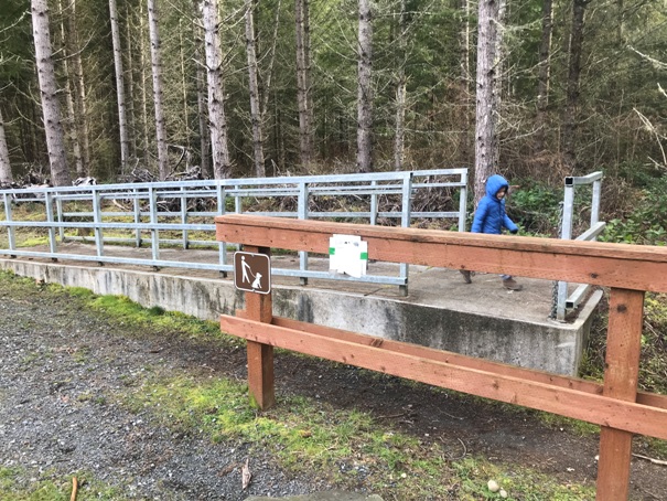
Horse ramp
At the parking area
Looking down the Little Mashel River and the washout road on right
Looking up the Little Mashel River
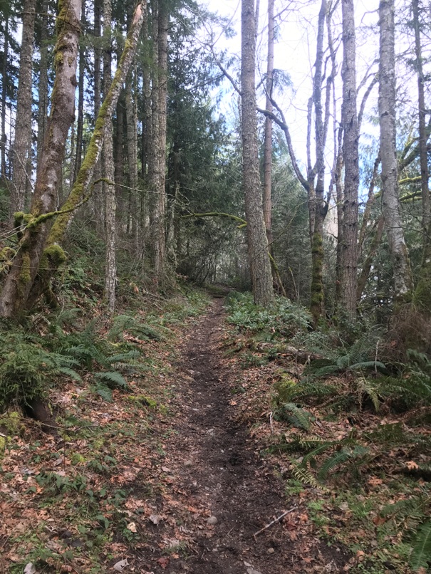
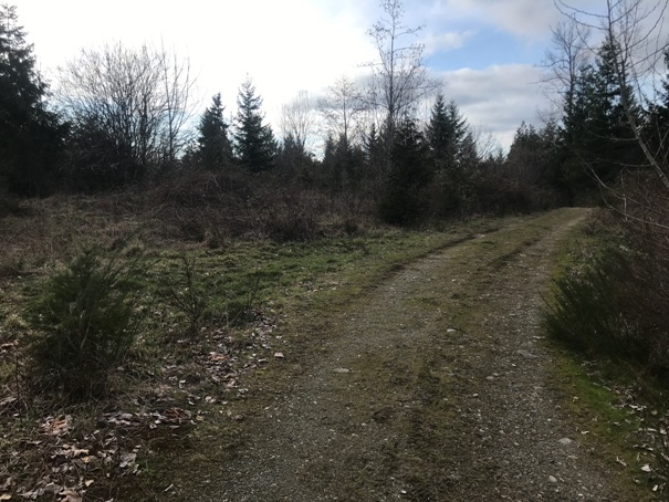
Old roads becoming trails
Sign on Manke Mountain
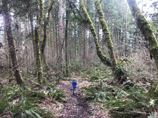
Dropping down to the river
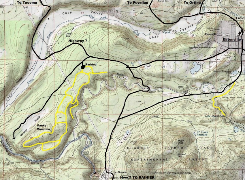
The trail map is below but this map gives a good idea of the region and how the park is between the Little Mashel River, the Nisqually River and Ohop Creek.
The map below in time will be out of date. New trails and area is being added to this park.
Road goes over here at the highest point of Manke Mountain


