Elevation: 3,615 feet, prominence is 1,395 feet
Distance: Just over a mile
Elevation gain: 2,200 feet
Access: Good Gravel Roads
Stovepipe Mountain
Access
Route
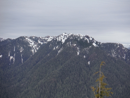
Likely named for its appearance, Stovepipe Mountain is a rarely climbed peak on Humptulips Ridge between the East and West Humptulips Valleys. With 1,395 feet of prominence and a few views on top, the objective was a good forested scramble when higher elevations were unreachable.
About three miles north of Humptulips on Highway 101, turn east on Donkey Creek road. Drive about eight and a half miles to a left turn north on Forest Service Road 2204. Drive around 3 miles to a right turn on FR 2208. Follow roughly 5.5 miles to a large 4-way intersection where ample parking exists.
The Olympic Mountains
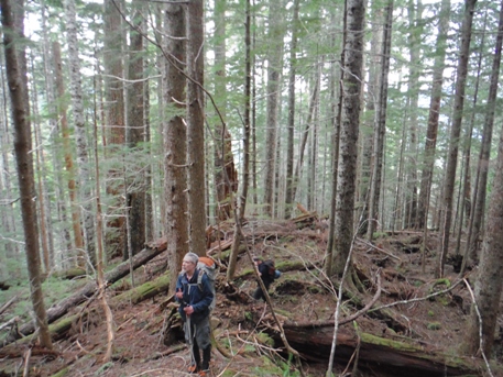
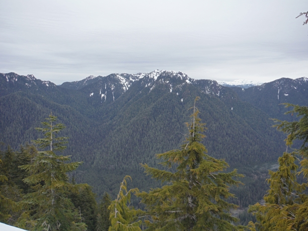
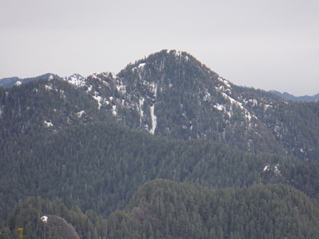


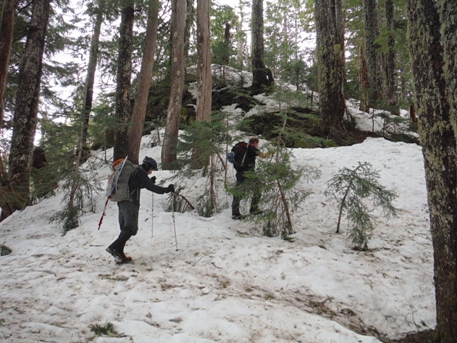
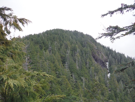
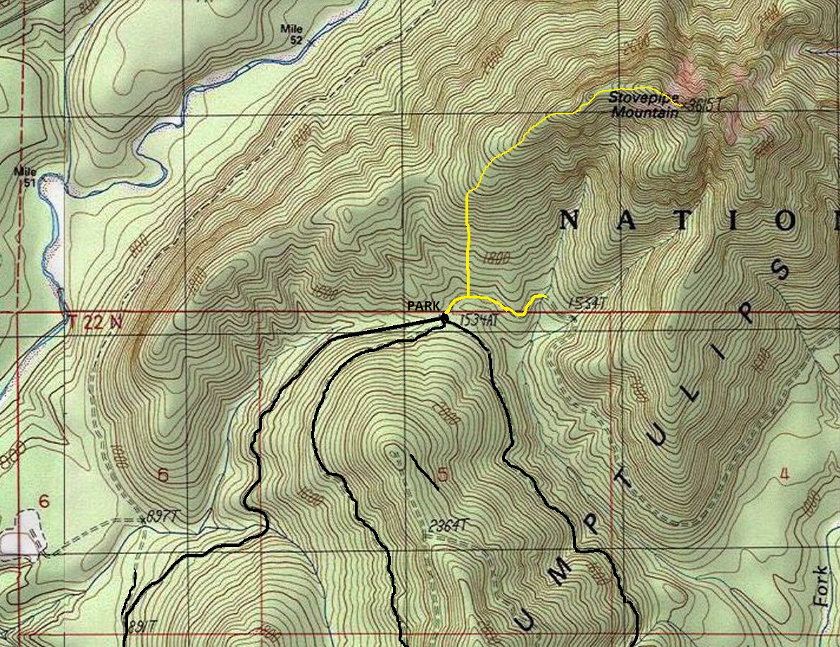

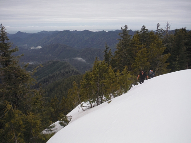
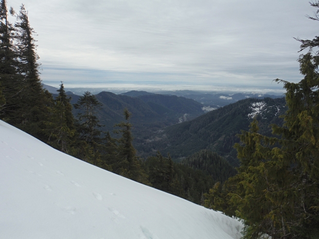

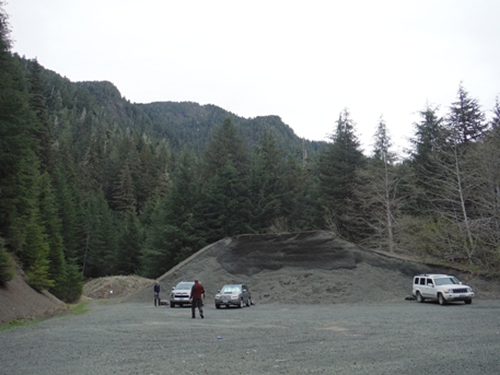
From the parking area at the 1,534 foot pass, follow the abandoned road across the two of three bermed creek crossings. Turn north into the forest and climb the open forests up to 2500 feet where a minor rock step is encountered (easy). Continue now on a more defined ridge with some minor bush bashing. Near the top, the forested ridge narrows more in places with steep drops on each side.
Moonlight Dome
East Fork Humptulips Valley
Zoom of Gibson Peak
Colonel Bob Group with Gibson Pek in front
Mount Olympus
West Fork Humptulips Valley
Forested arete at 3200 feet
Parking at the start with summit in view
In the forest climbing
Summit from mossy arete
Forest near summit
Summit
View north and northwest


