Snoquera Falls Trail Loop
Hiking Distance: 4 mile loop (from Camp Sheppard Trailhead)
Elevation Gain: 1,000 feet
Access: Paved
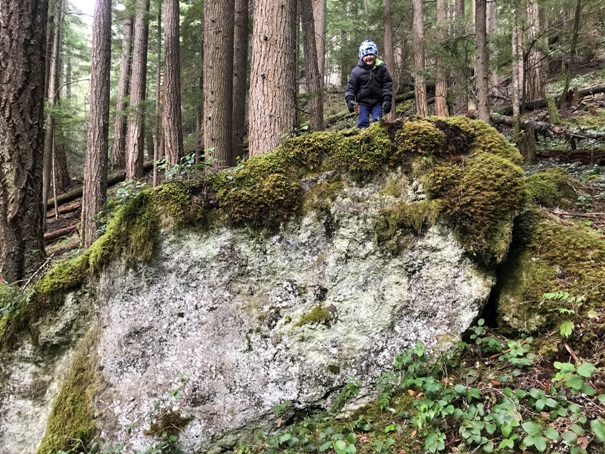
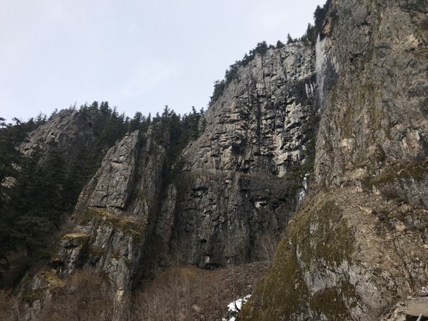
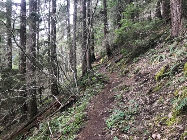
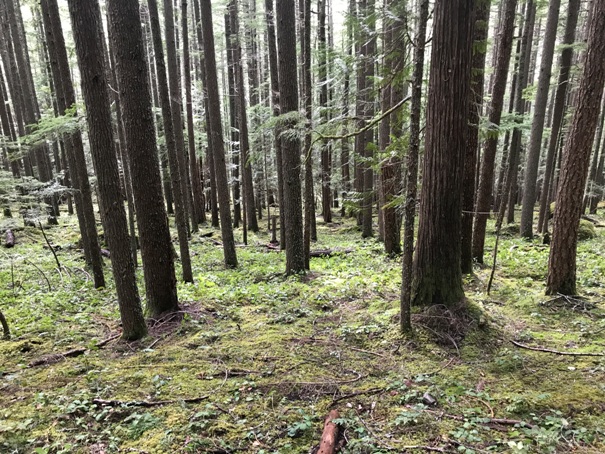
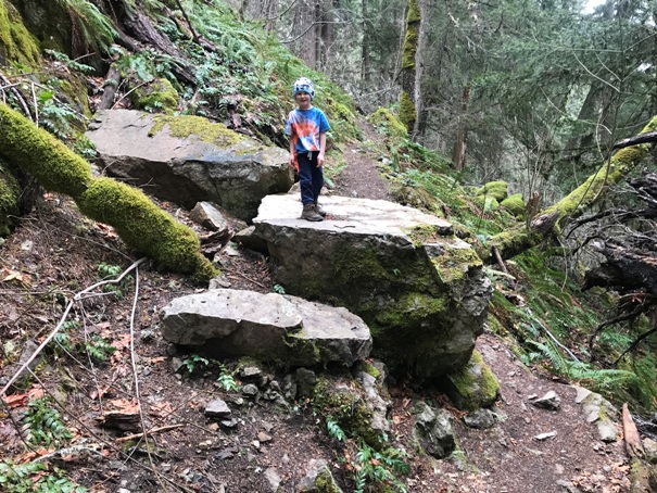
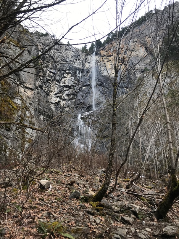
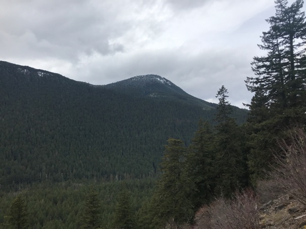
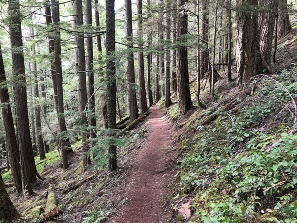
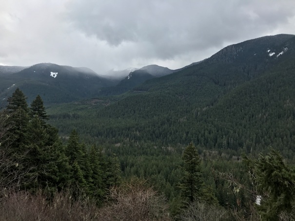
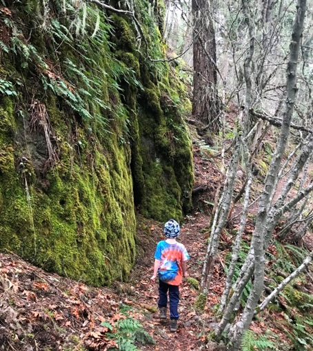
A perfect hike for a cloudy day, this forested hike offers rainforest, some old-growth and a waterfall. With the low elevation, the hike is sometimes snow free much of the winter. The waterfall can dry up so early spring is the best time. The trail is well built and I believe dates back to the CCC camp that was at the bottom of the valley.
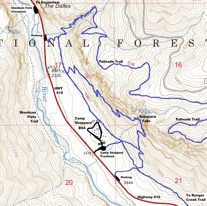
Drive Highway 410 east 11 miles from Greenwater to a sign for Camp Sheppard. Turn and drive into the parking area. Camp Sheppard is managed by Boy Scouts of America, but the trails are on Forest Service land. A National Forest Pass is required to park but you can park for free out on the highway at 2 nearby locations, but it will add one mile of hiking to your loop trip. See map. The first is just after the Skookum Falls Viewpoint on Hwy 410.
Access:
WillhiteWeb.com
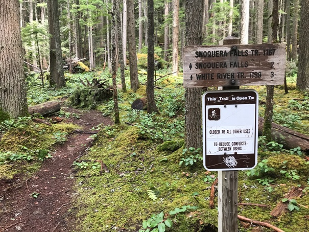
There are quite a few trail splits so a map is a good idea. The trail along the valley floor runs behind the Scout Camp and is easy to follow. Accessing the falls from the south is quicker and an easier trail but both ways are nice hikes and doing the loop is the most satisfying way to experience this area.
Route
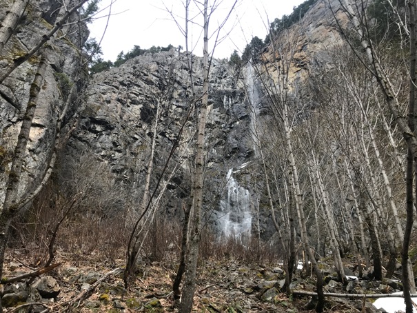
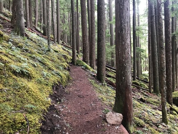
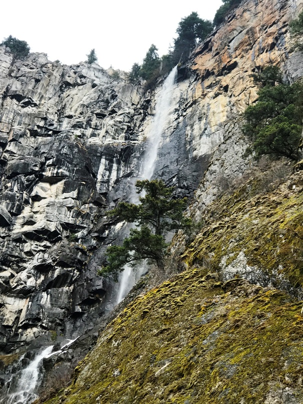
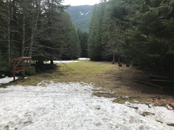
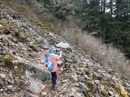
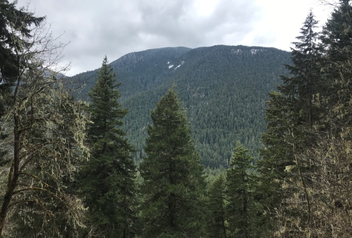
Trail passing above the scout camp and 3 open snow sledding areas


