
Crown Point and Bullion Peak
WillhiteWeb.com
The Crystal Mountain Ski Area has numerous peaks you can hike up. One of the most simple on the East side of the valley is Crown Point. The Pacific Crest Trail wraps around the mountain and there are spur trails up all 3 ridges. A sub-peak of Crown Point is Bullion Peak, another easy stroll off the PCT.
Elevation: 6,480 feet (Crown Point)
Hiking Distance: 3 miles one-way to Crown Point
Elevation Gain: 2,000 feet
Access: Paved
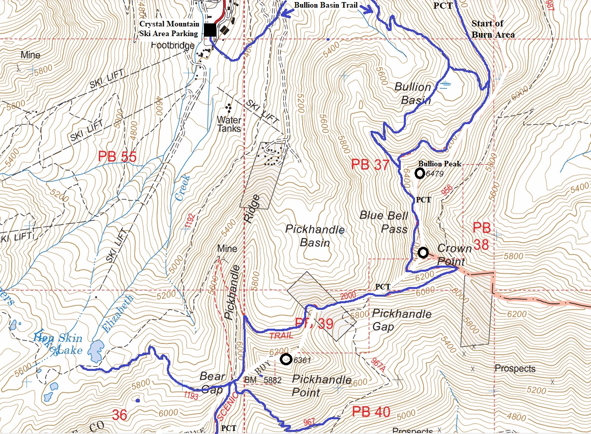
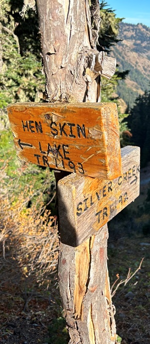
The Bullion Basin trail starts just east of the Crystal Mountain Chapel and climbs steeply up the meadow. Follow the rocky jeep track for several hundred more yards until you hit an unmarked right (east) turn. Take that turn and continue to follow now brushy single track up the mountain. Cross the gravel Gold Hill Road once, then again (where the wide spot second parking option is located and where the Silver Creek Trail heads south to Henskin Lake. Make your way north-northeast up the hillside, following the trail as it eventually crosses a little bridge over an unnamed creek. Continue long switchbacks up the ridge until you come to the equestrian camp and a beautiful spring-fed pond area where Bullion Basin starts. There is a short cut trail running due east up to the Pacific Crest Trail from this point. Head south past the horse camp and keep right directly after a creek crossing. Walk up through a narrow meadow again keeping right where the trail splits following the better maintained trail path. Walk through one more, larger meadow and then climb the final switchbacks to the main viewpoint. Continue past the view point southeast and climb one final hill up to the main junction with the PCT. For a longer, more strenuous, 7.7-mile loop, continue south on the Pacific Crest Trail past Crown Point, through Pickhandle Gap, past Pickhandle Point to Bear Gap where you can turn right and drop down toward Henskin Lake and return to the Crystal Mountain resort area on the Silver Creek Trail.
Route from WTA
Crown Point
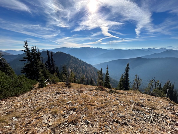
Bullion Peak
Platinum Peak
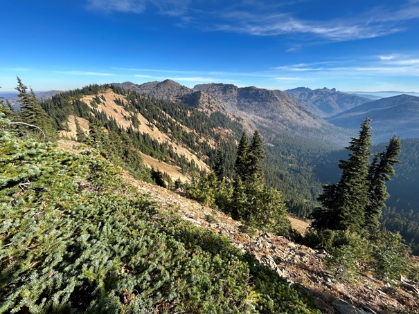
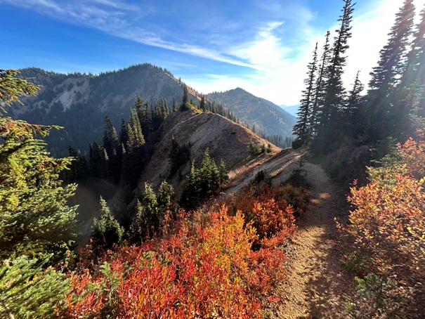
From PCT near Pickhandle Ridge
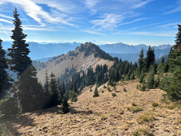
View of Crown Point from Bullion Peak
Crown Point from near Pickhandle Gap
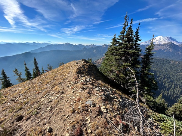
SE from Crown Point
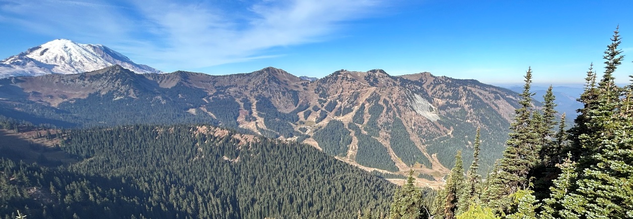
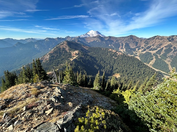
Mount Rainier and Crystal Mountain Ski Area from Crown Point
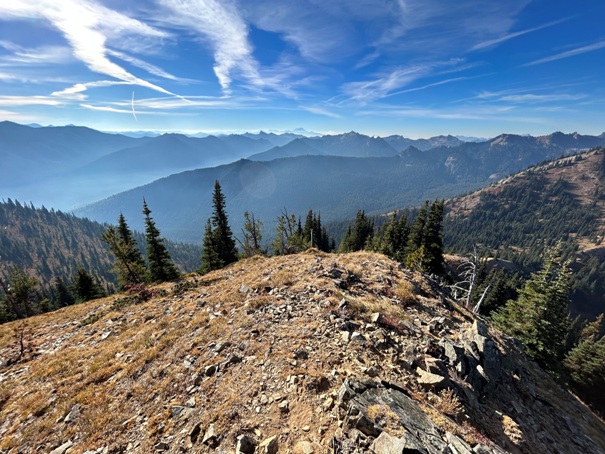
SW from Crown Point
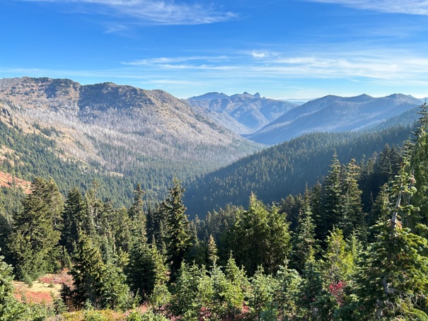
East from Crown Point
Looking East to Fifes Peaks
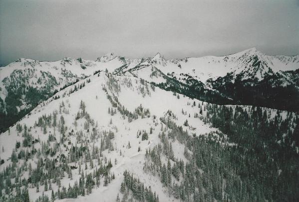
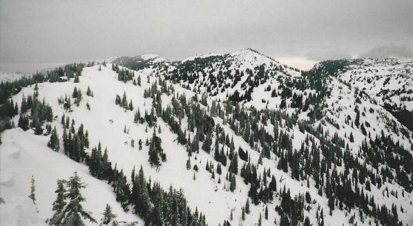
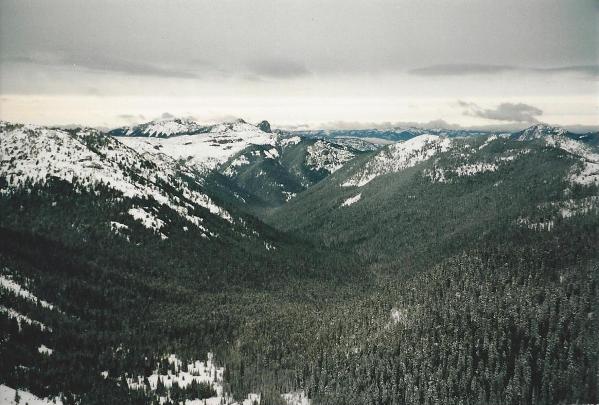
East across Union Creek to Fifes Peaks in winter from Crown Point
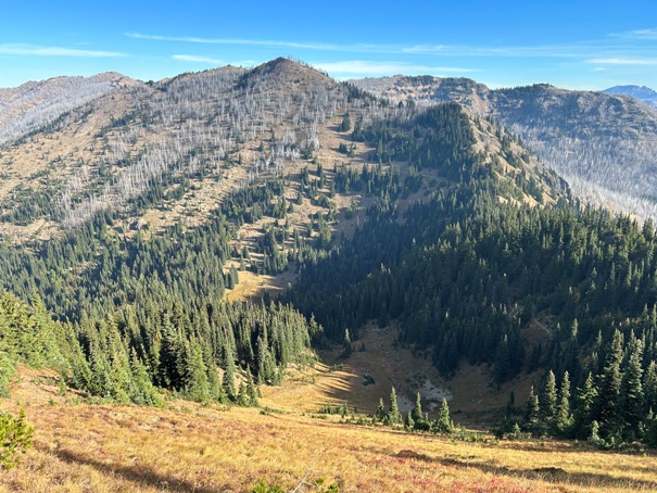
Pickhandle Point and peaks around Chinook Pass
Looking North to Bullion Peak (left) and Platinum Peak (center)
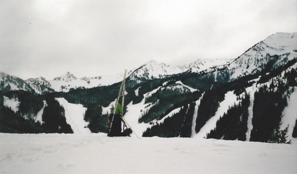
Taking a break in Bullion Basin with the ski area behind
Looking North from Bullion Peak to Platinum Peak (center) and Norse Peak (distant left)
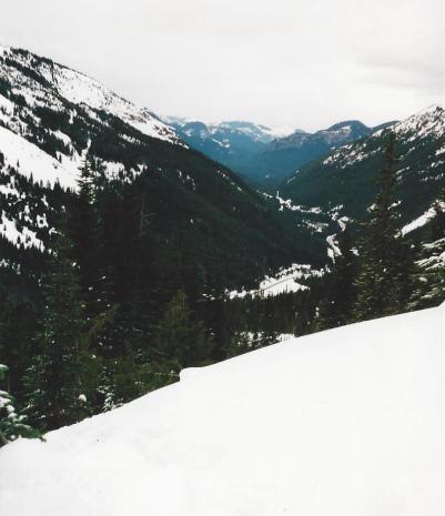
In Bullion Basin looking down Crystal Mountain Road
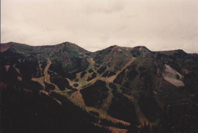
Also did this hike in summer around 1990
Winter pictures from a trip around 1992
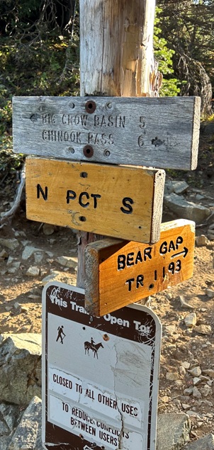
Sign at Bear Gap


