Joseph Whidbey State Park
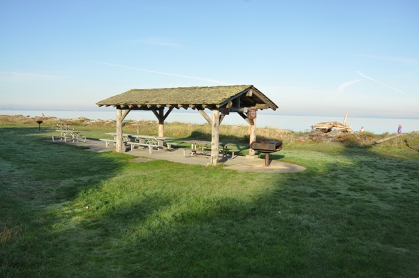
Located just 3 miles west of Oak Harbor on Whidbey Island, Joseph Whidbey State Park is a day-use park with picnicking, beachcombing, hiking and wildlife viewing. The park has spectacular scenery across the Strait of Juan De Fuca and northern Puget Sound. The beach is one of the largest and best on Whidbey Island. Joseph Whidbey State Park has two large grass fields where nets can be put up for family games on the grass. There is one covered picnic shelter and many uncovered tables. Although there is no camping, there is one campsite if you arrive by kayak or canoe.
WillhiteWeb.com - Washington State Parks
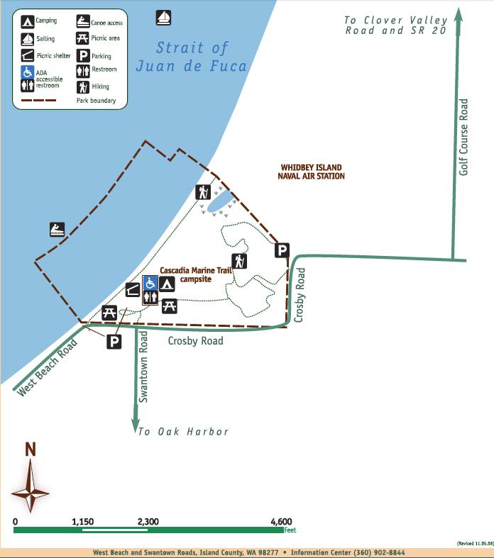
Located three miles west of Oak Harbor, Wash. in Island County. From the north, drive north on Hwy. 20 through Oak Harbor. Just past town, turn right on Swantown Road and follow it about three miles. From the south drive north on Hwy. 20. Just before Oak Harbor, turn left on Swantown Road and follow it about three miles.
Driving Directions:
Moyers Loop Trail:
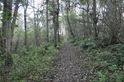
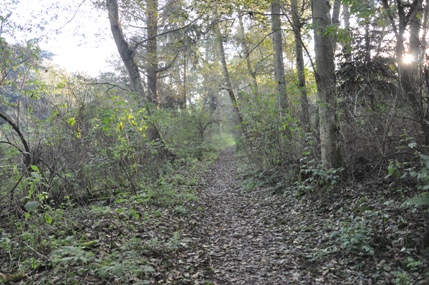
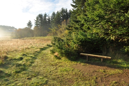
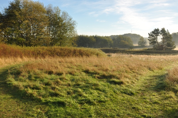
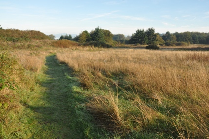
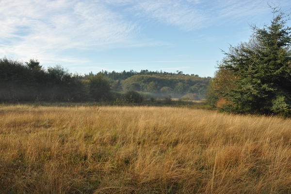
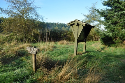
The main upland hiking trail is Moyers Loop. The trail can be started in the main parking area or at a small lot at the east end of the park on Crosby Road (free access). This trail is forested at the west end but grassy and open throughout most of the loop. The trail can be done in one big loop or cut the loop short with a trail that cuts back midway through.
Beach Trail to the Whidbey Island Naval Air Station:
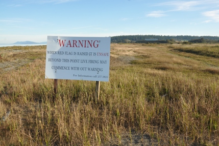
For easy walking, walk the beach north for a spectacular views of the distant San Juan Islands. Just up from the beach in the grass is a hiking trail if the tide is up. When you hit the State Parks property line (on the trail) you will see a large sign saying that if a red flag is raised, then there is live firings going on. Strangely, there is no signs or fences prohibiting you from proceeding and many hikers do walk the trail well beyond into the Naval Air Station property. Walking the beach there is no signs at all.
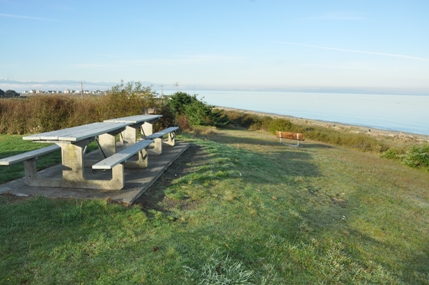
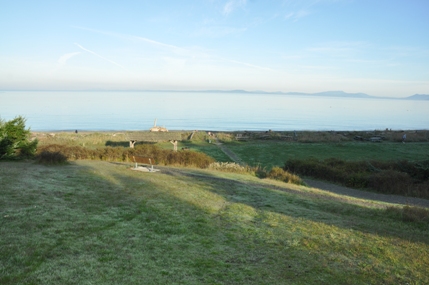
View from the upper picnic areas
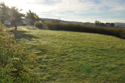
Grass area for net games
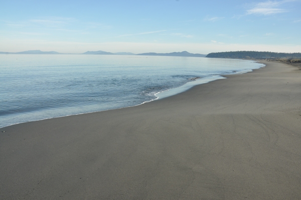
Like the Fiji Islands, just much colder
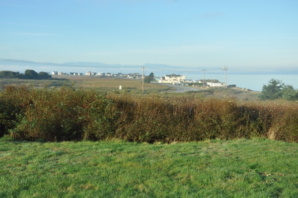
Homes on West Beach Road
Looking south to the private beaches on West Beach Road
Moyers Loop
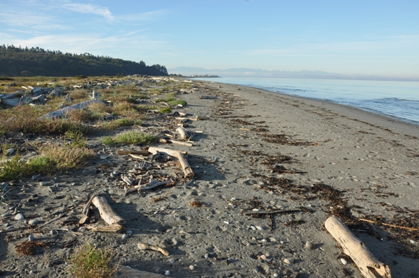
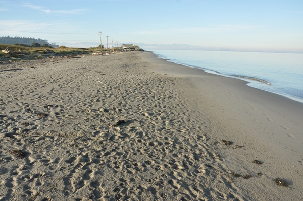
Looking south from near the Naval Station line
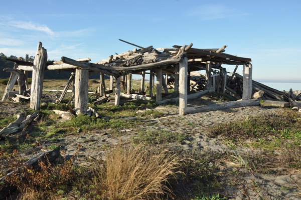
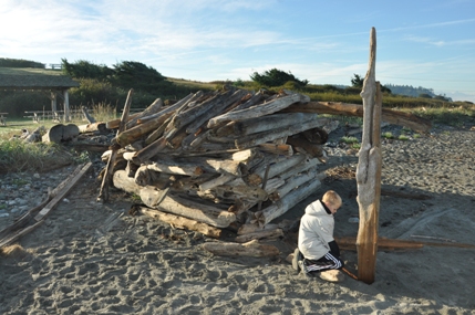
Driftwood fort near the Naval Station Line
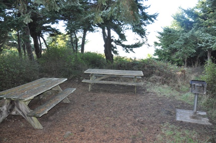
One of the many picnic areas in the trees
The warning sign that you are leaving State Parks
Moyers Loop Trail
Moyers Loop Trail
Covered Shelter
Moyers Loop
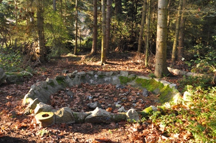
Something from a homesteader
Moyers Loop
Moyers Loop
Trailhead off Crosby Road


