Distance: Drive-up
Summit Elevation: 530 feet
Whidbey Island Highpoint
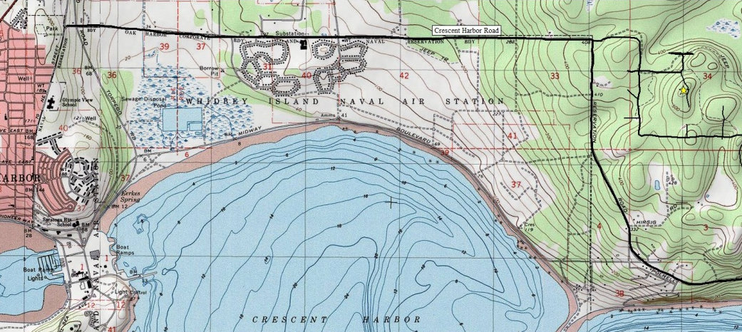
Since Whidbey Island is one of the largest islands in the United States, naturally one should be interested in reaching the highest point, right? Well, not really. Whidbey Island doesn't really reach a lofty height, the land was scoured over by glaciers long ago. The highpoint is on private property, a short drive down a private road. So pull out your maps and look like you are lost, there is a good turn-around right at the highpoint. Reaching the highpoint is the highlight, a glimpse and military life on Whidbey Island. The road from Oak Harbor to the highpoint area is the base line for the Naval Air Station. You can view military housing and guarded gates along the way.
WillhiteWeb.com - Puget Sound Highpoints
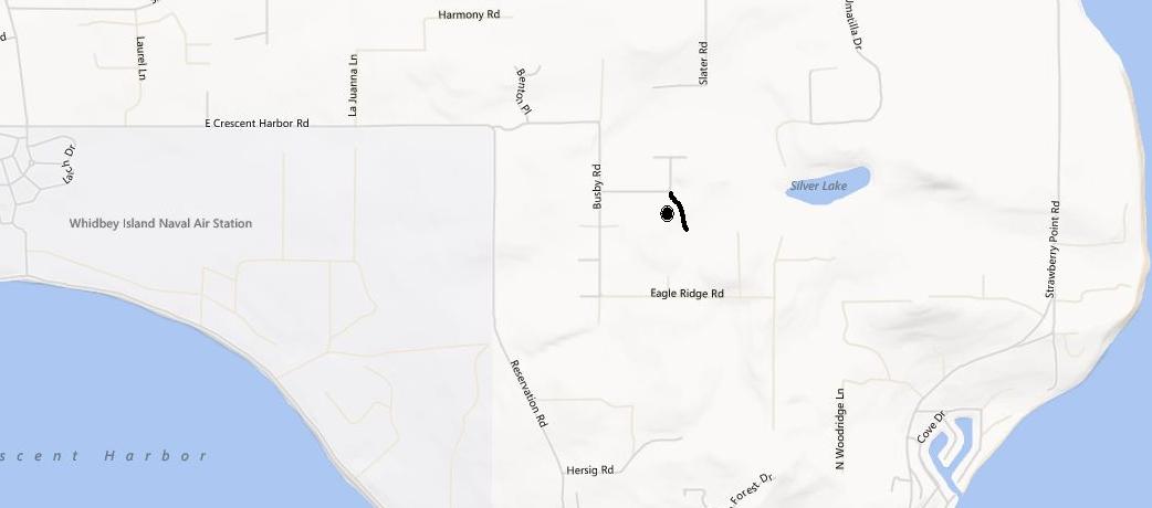
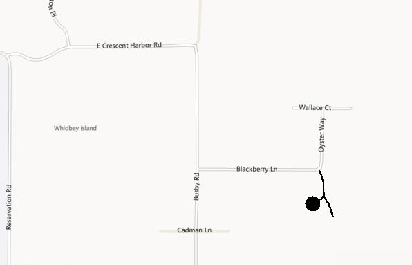
At the east end of Oak Harbor is Regatta Drive. Take it to W Crescent Harbor Road. Follow this road east along the north end of the base until it turns south. At the curve, follow E. Crescent Harbor Road until it hits Busby. Take Busby to Blackberry. At the corner of Blackberry and Oyster Way, find a private dirt road to the right. Go up this road for a short distance and find a field on the right. This field area is the highpoint.
Access:
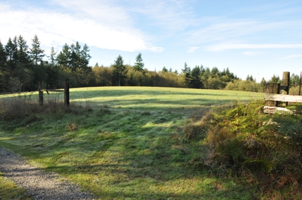
The Highest Point
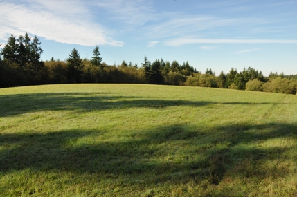
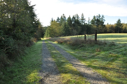
Stop here before the road drops down, highpoint in field to the right
Private road at corner of Blackberry Lane adn Oyster Way


