Thorp Mountain Lookout
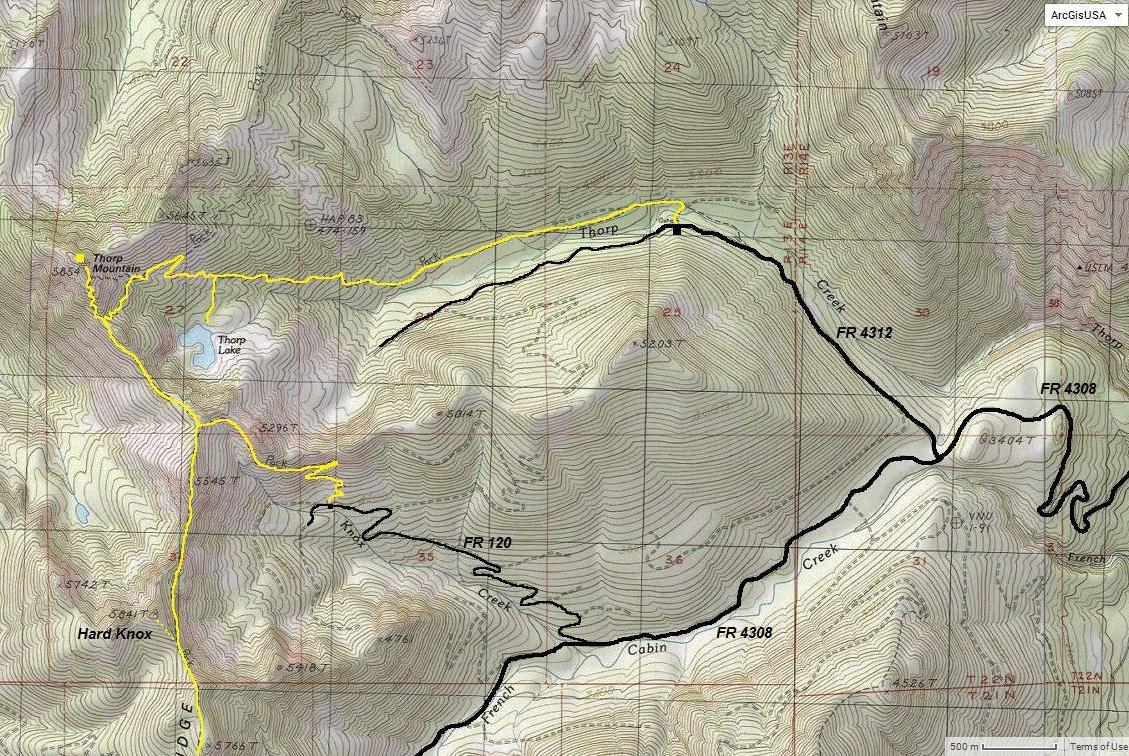
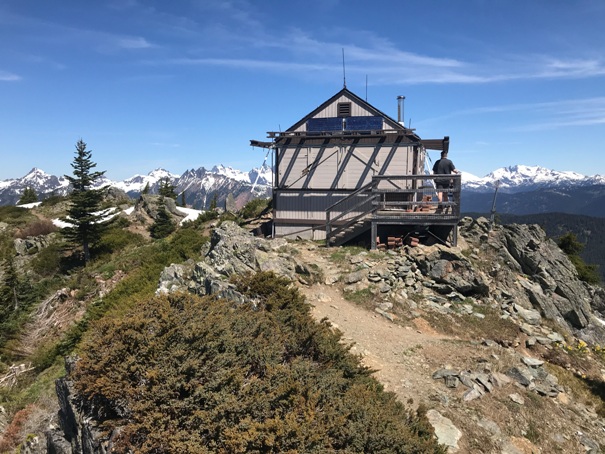
This popular hike has good views, lots of meadows and lakes to view. A fire lookout is also at the summit. The close proximity to the I-90 corridor and Lake Cle Elum keeps them coming back multiple times. Two trails are popular to the summit, both are shown on the map below.
Summit Elevation: 5,854 feet
Distance: 3 miles one-way
Elevation Gain: 1,936 feet
Access: Gravel roads, high-clearance for Knox Creek access
Access via the Knox Creek Trailhead
Take Hwy 903 past Roslyn to just past the upper end of the lake. Turn left onto French Cabin Road (Forest Road 4308). Follow for 4.9 miles, then turn right on NF-120, follow for 2 miles to the trailhead.
Take Hwy 903 past Roslyn to just past the upper end of the lake. Turn left onto French Cabin Road (Forest Road 4308) driving it for 3.25 miles to FR 4312 on the right. Turn right and drive 1.5 miles to a road junction with FR 4312-121. This road is gated so park here for the start.
Thorp Creek Access
WillhiteWeb.com
Walk past the gate going a short distance to a bridge over Thorp Creek. Once across, turn left and find the official trail in 0.25 miles up the road on the left. The trail slowly climbs as it parallels Thorp Creek. About 1.5 miles from the gate the trail starts to climb more steeply. At about 3 miles a side trail goes left down to Thorp Lake. The next trail junction is the Kachess Ridge Trail. Turn right and climb the final trail section up to the lookout.
Thorp Creek Route
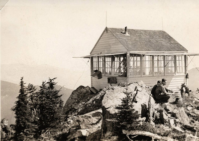
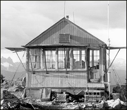
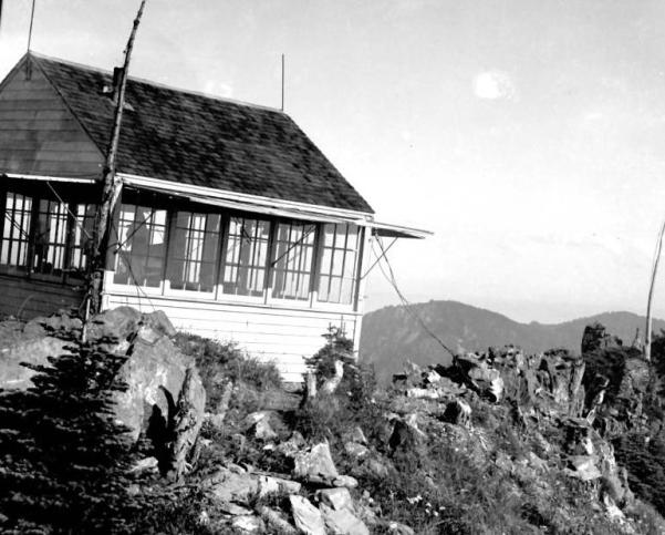
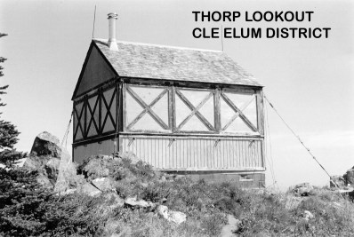
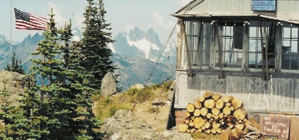
In 1930, this L-4 cab with gable roof was built.
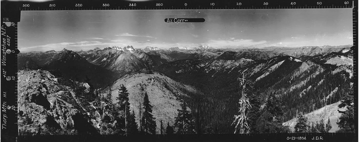
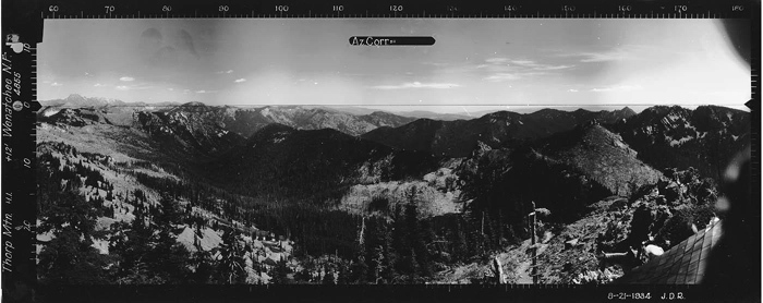
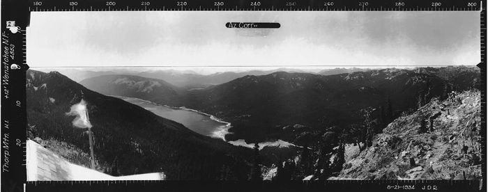
In 1934, panoraimic images were taken from the roof.
In 1950, Charles (Sonny) Dorich, 18, of Roslyn, star Cle Elum high school baseball, basketball and football player, was sent to Harborview hospital in Seattle suffering from Infantile paralysis. He was stricken while working for the U.S. forest service on Thorp mountain lookout.
In 2008, the cab had a restoration around 2008
Lookout History
One set in 1937 and another in 1958. Notes say in 1958 it was an 8 mile hike from the closest truck trail.
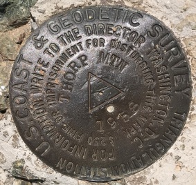
Benchmark
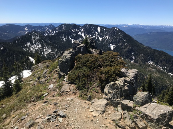
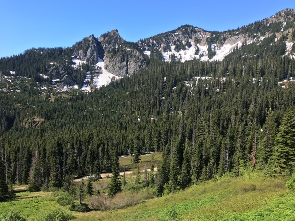
Views from the trail near the start
1934
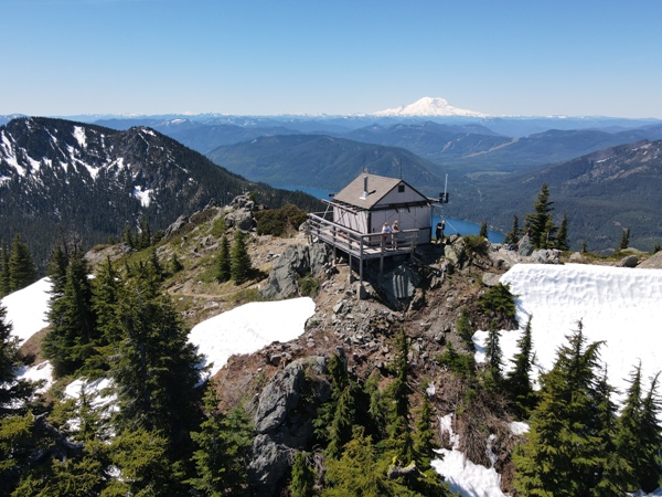
Lookout from drone looking southwest
No date
Kachees Lake below
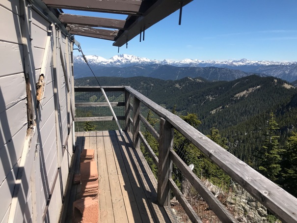
Views south
Northeast into the Alpine Lakes Wilderness
August 12, 1937
Thorp Benchmark
North August 21, 1934
Southeast August 21, 1934
Southwest August 21, 1934
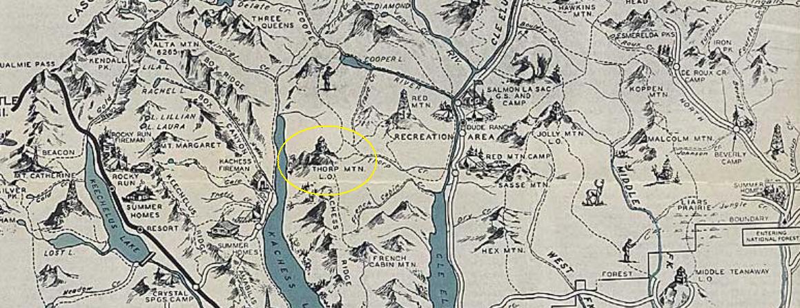
1936 Forest Recreation Map
Mt. Hinman and Mt. Daniel



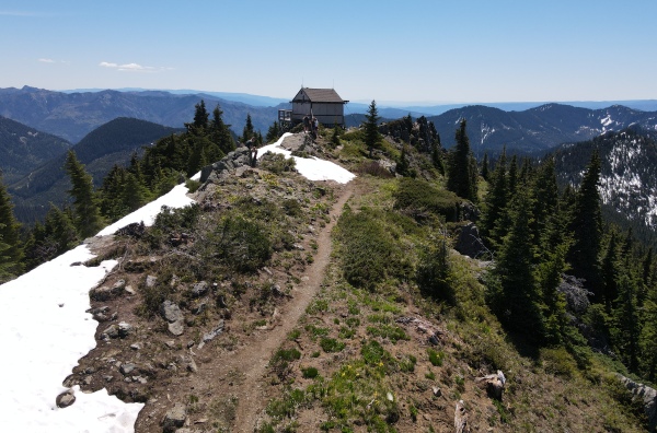
Looking north at the lookout
Lookout from drone looking southeast
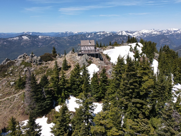
Lookout from drone looking northwest
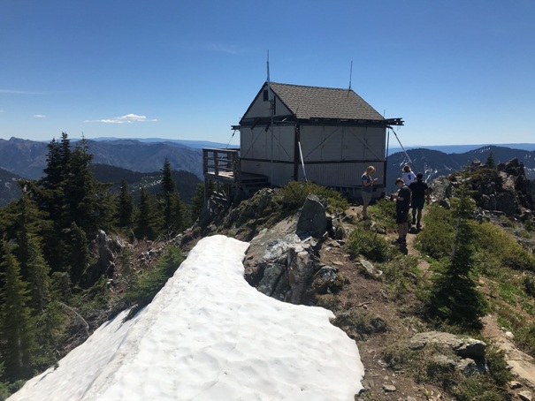
Looking southeast at the lookout
Looking East with Mt. Stuart in the distance


