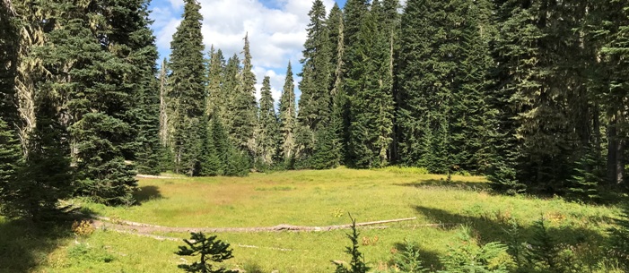


Summit Prairie Lookout Site
WillhiteWeb.com: Fire Lookouts

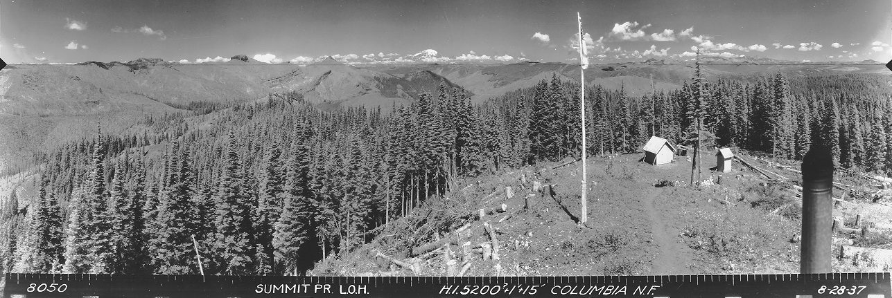
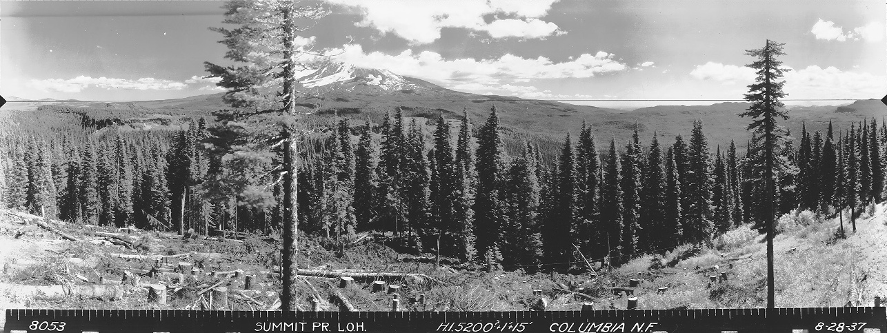
In 1933, an L-4 cab was built atop this summit. Panoramic views in 1937 show a well built site with shed, outhouse, and flagpole. The site was staffed until 1963, and trail crews used the site until it was destroyed in 1967.
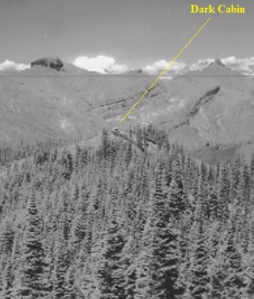
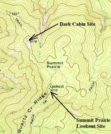
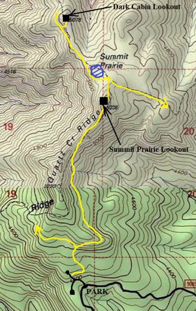
Years before in 1924,the Dark Cabin lookout was built 1/2 mile northwest of the summit on a knob along the same ridgetop. If you hike the trail between the two lookout sites, there is a small prairie on the top of the ridge between the sites. Most maps put the label Summit Prairie at this spot and the lookout was named after this Summit Prairie instead of Quartz Creek Ridge.
September 10, 1937: "Mrs.R.H. Niblock and Jimmy went to Summit Prairie Saturday and returned home Sunday. They visited Mr. Amber Niblock who has charge of a lookout station there. Amber came home with them and returned Tuesday morning." (Mt. Adams Sun)
1954 – Lookouts Forrest Couch and Philip L. Lee
1955 - Lookouts Forrest Couch and George Peterson
1956 - Lookouts Forrest Couch and George Peterson
July 11, 1963: "Mike Barry, commonly called "R.A." (Regular Army), has volunteered to serve as a fire lookout at Summit Prairie and has promised to send us word of his activities." (Mt. Adams Sun)
1964 USGS
USGS visited the site by helicopter and said the one of the benchmarks was unreachable near the center of the lookout house.
Access:
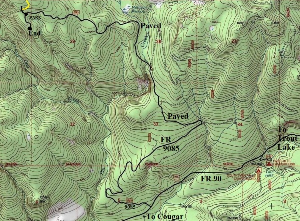
Get to the paved FR 90, the main East-West artery in the Gifford Pinchot which goes between Cougar and Trout Lake. Take FR 9085 off of FR 90 to the trailhead, just before the end of the road. This FR 9085 is completely paved and in incredible shape given the road just dead-ends on a ridge.
Lookout Elevation: 5,238 feet
Hiking distance: 1.5 miles
Elevation Gain: 700 feet
Access: Paved
Route
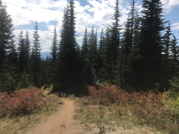
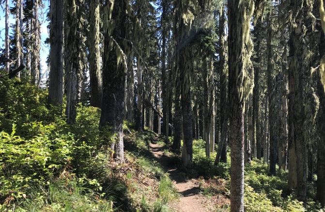
From the pavement, a 4WD rocky road heads up the hillside. Walk up the road to a Y and campsite, go right and follow to the end of the road at another campsite. To the right, up a steep dirt hill is the trail. Once on the trail, you are now in the forest and climbing up. A trail split is reached, go right. The trail stays below the Quartz Creek Ridge crest even though maps show it on the top. Soon the ridge is reached and the trail does follow the crest to the lookout site.
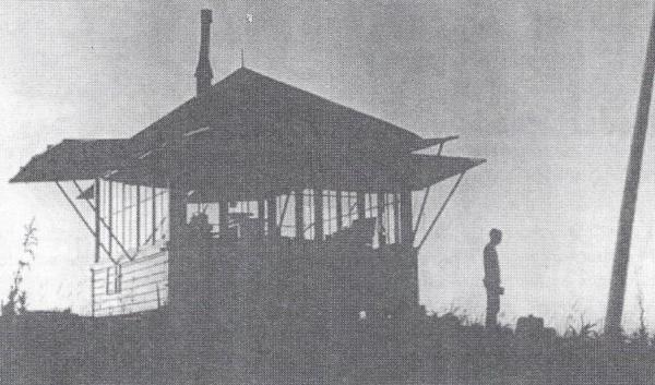

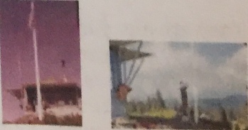
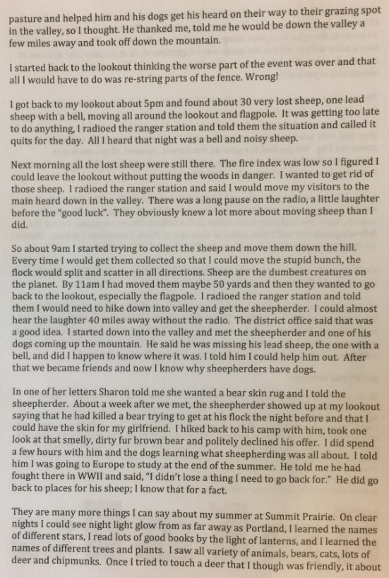
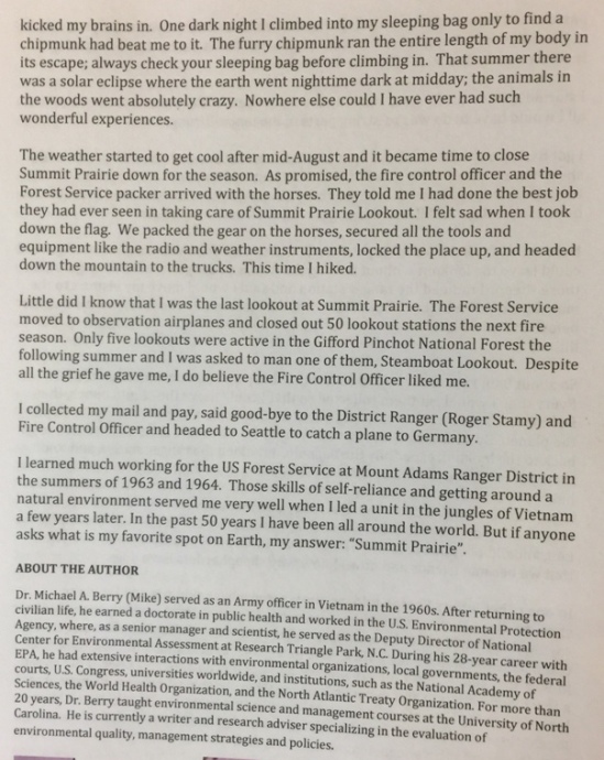
From the book "Rag Camps To Lookouts" by Joanne Bridges
Below: Summit Prairie in 2019
Looking South from the summit
Southwest 1937
North 1937
Southeast 1937
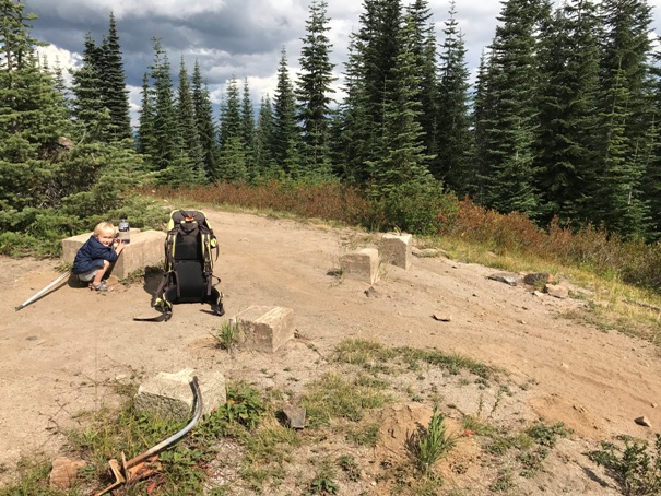
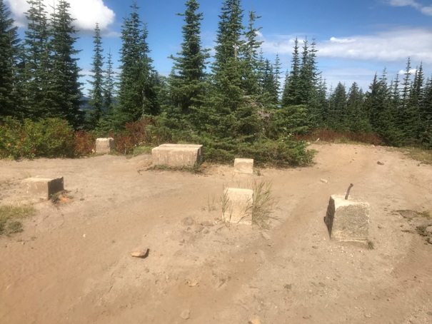
Footings in 2019 (one has been moved for ease of motorcycle passing) Looking North
Looking East
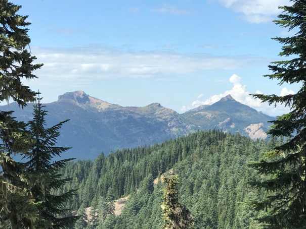
Views just before reaching the summit of Jumbo and Sunrise Peaks
From the North panoramic, you can see Dark Cabin
1970 USGS (1973 edition)
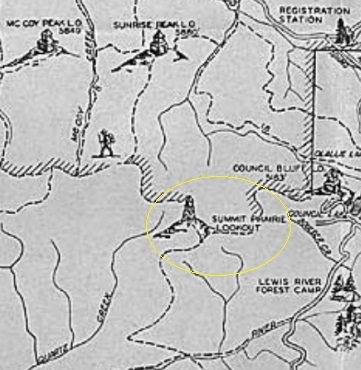
1937 recreation map
1939 recreation map
Trail on Quartz Creek Ridge
Best trail access
Lookout house
Summit Prairie pictures in the rag camps book
Nice road access
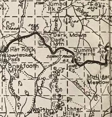
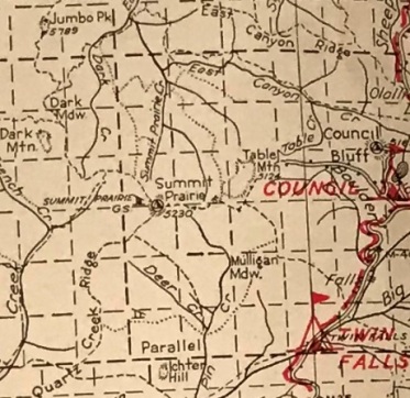
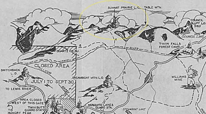
1932 National Forest map
1940 National Forest map


