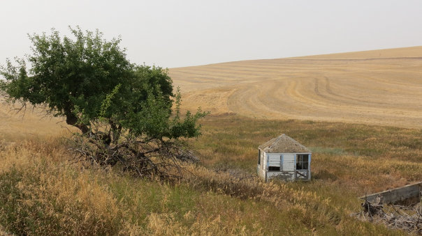
Smoothing Iron Ridge Lookout Site (Round Prairie)
A 1933 CCC Camp of 200 men were in the Asotin District for about four months. One project during this time was the building the Smoothing Iron Ridge emergency lookout house. They also put in a phone line from Wickiup Spring down the ridge to the Smoothing Iron emergency station. This was a cabin, but the remains of any foundation have been difficult for anyone to find. Around 1885 to 1890, a band of over 500 wild horses were frequently seen on smoothing Iron Ridge.
In 1950, the structure was moved off the ridge (possibly by Steve Black) to the Smoothing Iron Farm 5 miles northeast of the original site. In 1974, when the Schlee Family purchased the farm, they took good care of the building.
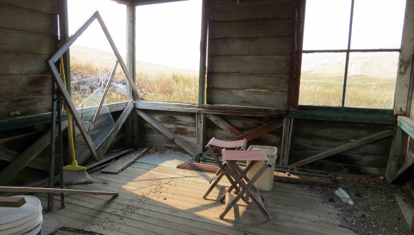
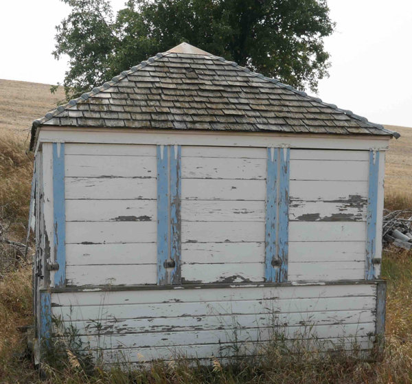
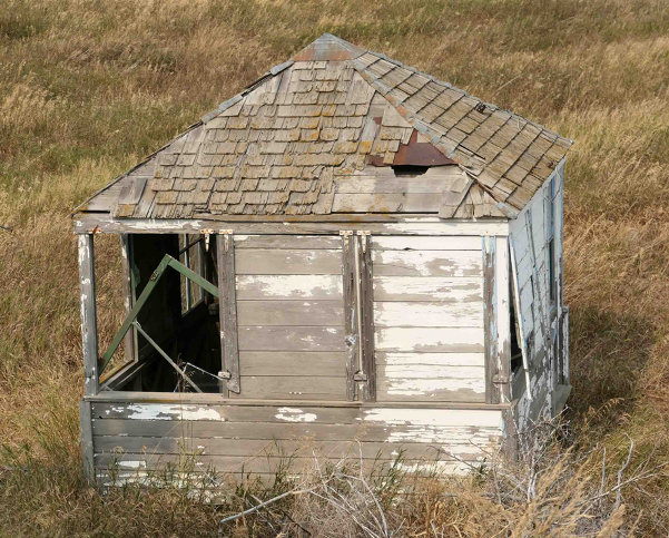
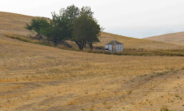
In 2003, the farm was sold to the Washington Department of Fish & Wildlife/Rocky Mountain Elk Foundation. During the sale, the Schlee family moved the structure to some family property on a different ranch a good distance away. The lookout structure is in good condition in a safe location in Whitman County. With special permission, Ralph and Peggy Owen have visited the cab at its current site in 2021. See link below for Ralphs website.
Elevation: 5,000ish feet
Distance: 500 to 1000 feet of easy walking
Access: Good Gravel
WillhiteWeb.com
Access
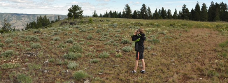
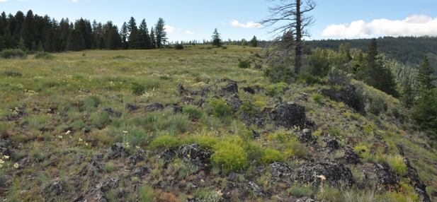
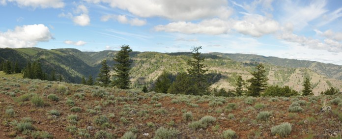
From Pomeroy, take 15th Street south. After 15 miles, the road enters the Umatilla National Forest and becomes known as Forest Road 40. After another 15 miles is a major intersection. Take FR-44 which is the main road sticking to the ridge. Follow for several miles until it turns left dropping down the ridge to the north. When the road reaches the 5,000 feet level, you are in the Round Prairie. Park and stroll across the ridge to the area of the site.
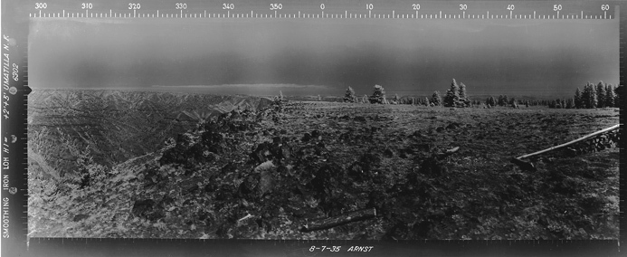
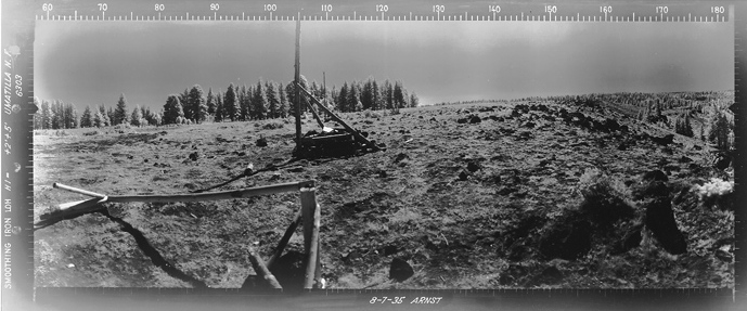
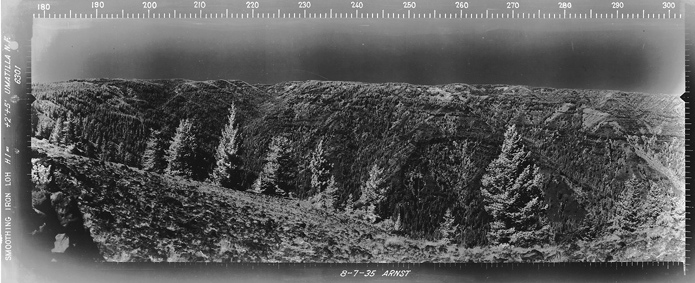
Southwest 8-7-1935
Southeast 8-7-1935
North 8-7-1935
Southwest 2016
Southeast 2016
North 2016
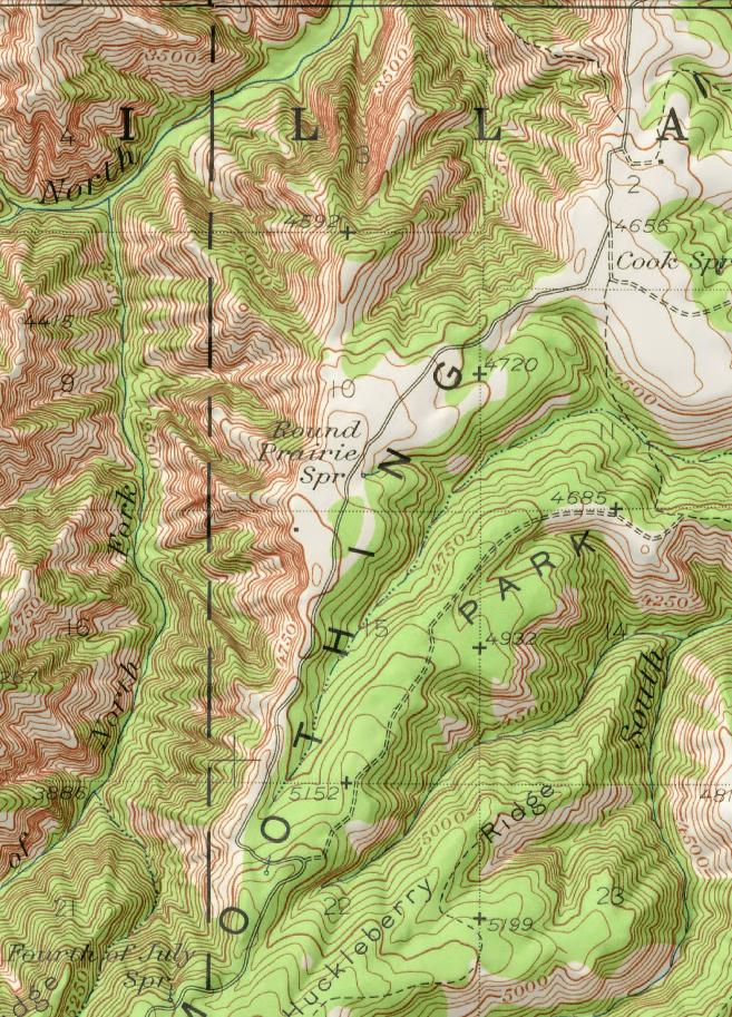
1946 map showing building near Round Prairie Spring
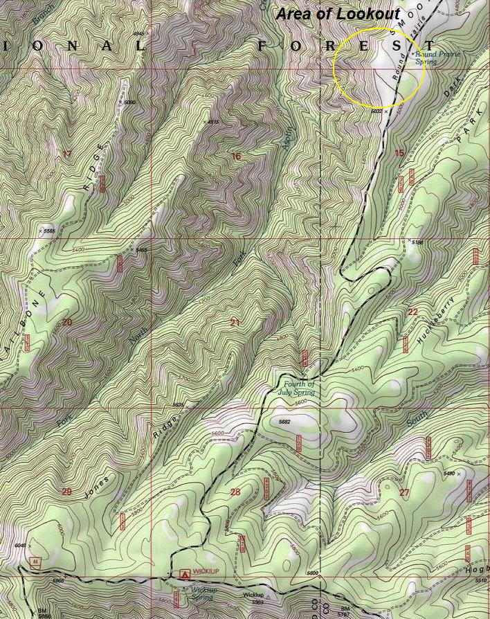
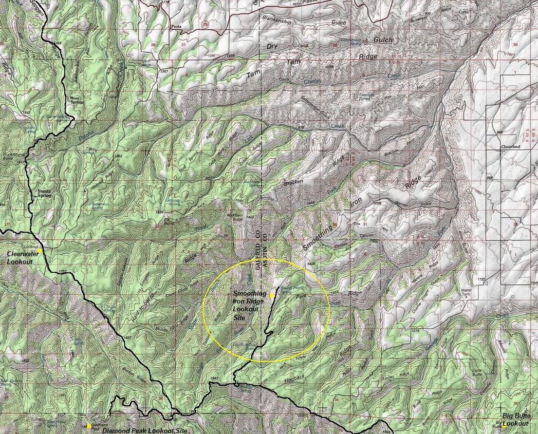
Location on current USGS map
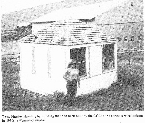
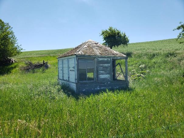
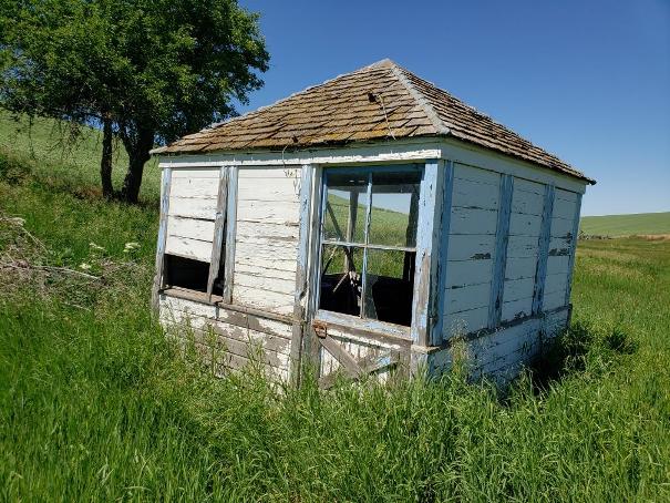
Image year 2021. Lookout in a safe place on private property thanks to owners.
Below photos from Ralph Owen. Year 2021
