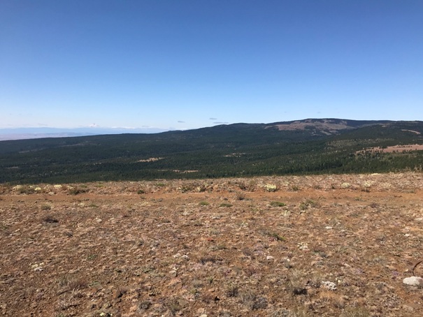

Simcoe Butte Lookout Site
WillhiteWeb.com
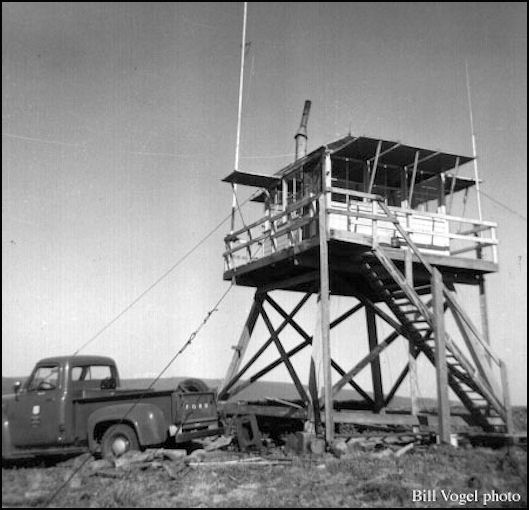
In 1941, a survey party that put in the summit benchmark station said in their description that at the end of the road, at the summit was a temporary fire lookout which consists of a rock windbreak and a field telephone. The benchmark was placed 135 feet SE of this temporary lookout. In 1948, the Division of Forestry built a 12 foot ring connected tower with an L-5 cab to cover a vast area of virgin pine timber recently listed with the State for protection. The local Goldendale newspaper had an article about this new tower and called the location Frog (Conlee) Butte. The lookout was removed in 1958 and replaced by nearby Sopelia Lookout the following year.
Access:
Elevation: 4,798 feet
Hiking distance: Drive-up or short walk
Access: Good for most vehicles
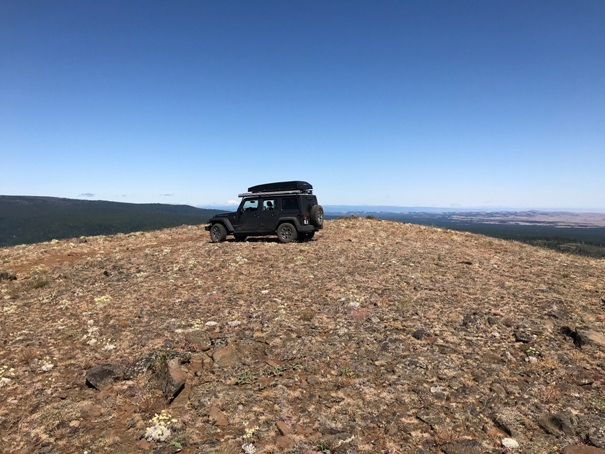
At Status Pass, there is a road on the west side which has a sign for a snow park. Follow this road a short distance to a very large area that looks like it could be the snow park. There is a fork in the road and some gated private properties. The largest road is the left fork but it has some old signs saying private property, Yakama Tribe. But follow this road and soon you are on State Land and pass the Snow Park. Continue on the road to the ridge top where some communication towers come into view. One is a fallen radio tower that looks similar to a metal fire lookout. The next butte after the communications is Simcoe Butte. The final short road to the top can be driven or walked depending on how much you trust your tires. Officially the summit is on the Yakama Nation.
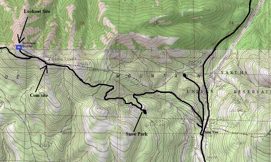
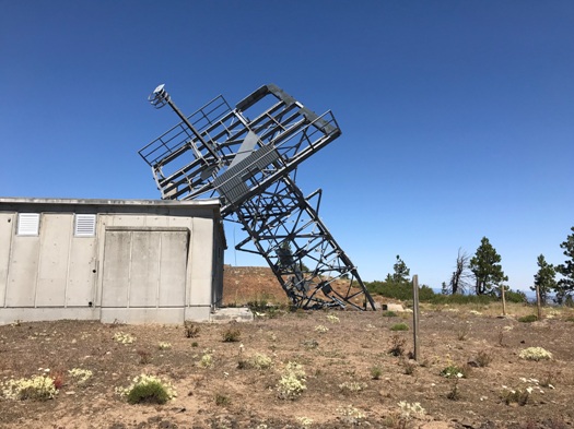
The communication site before reaching Simcoe Butte
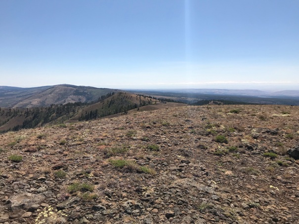
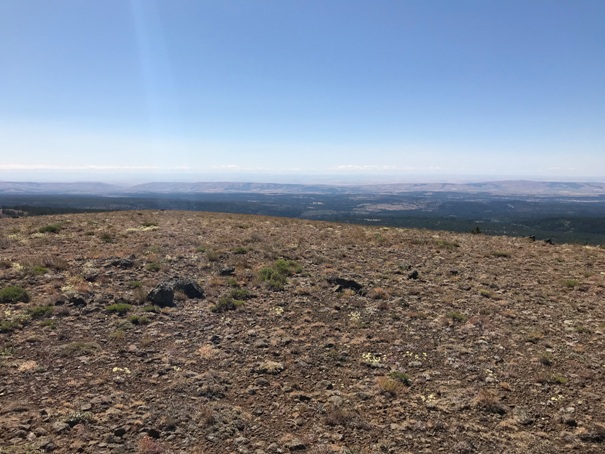
Looking North
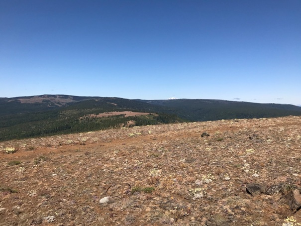
Looking Southeast
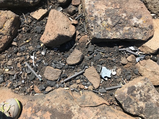
Battery stash
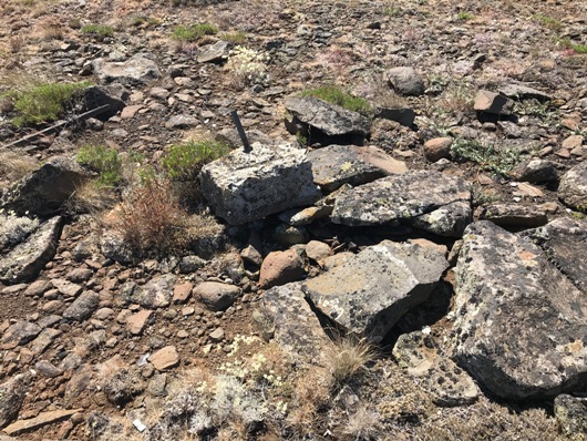
Footing
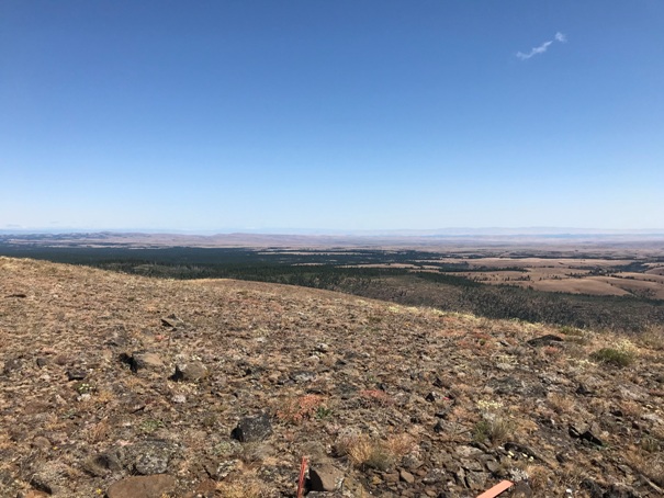
Looking East
Simcoe Butte Lookout 1955
Looking West to Indian Rock


