Sherwood Mountain Lookout Site
Elevation: 2,939 feet
Distance: Drive-up
Access: Good dirt, few rough spots
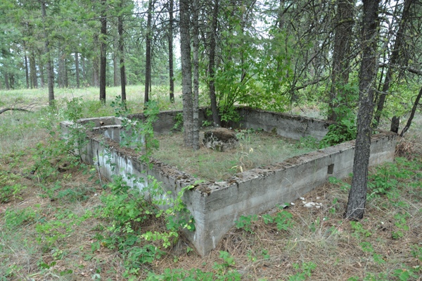
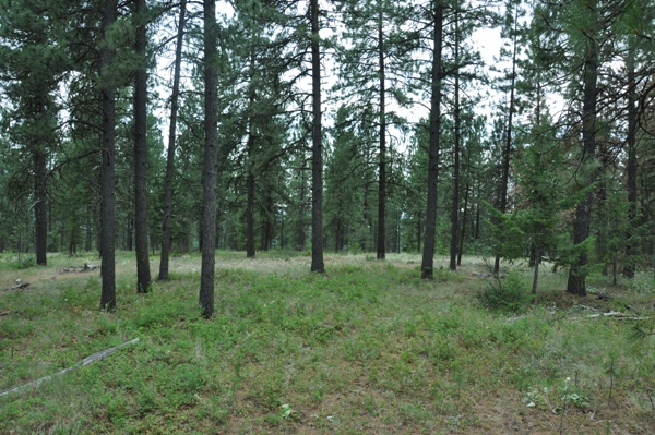
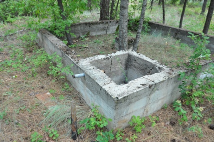
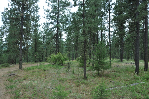
The Sherwood Lookout site has trees growing tall blocking any views, there is also very little history of the lookout itself. Sources are not clear but the first lookout was in 1936, possibly an L-4 cab that was abandoned 1950's. There was also an 83 foot steel aermoter tower that was there in 1979 but gone by 1990. Some say the tower was built in 1936 and the L-4 cab was for living quarters. The foundation of an L-4 cab seems apparent but I couldn't find any footings from a tower.
Washington Fire Lookouts
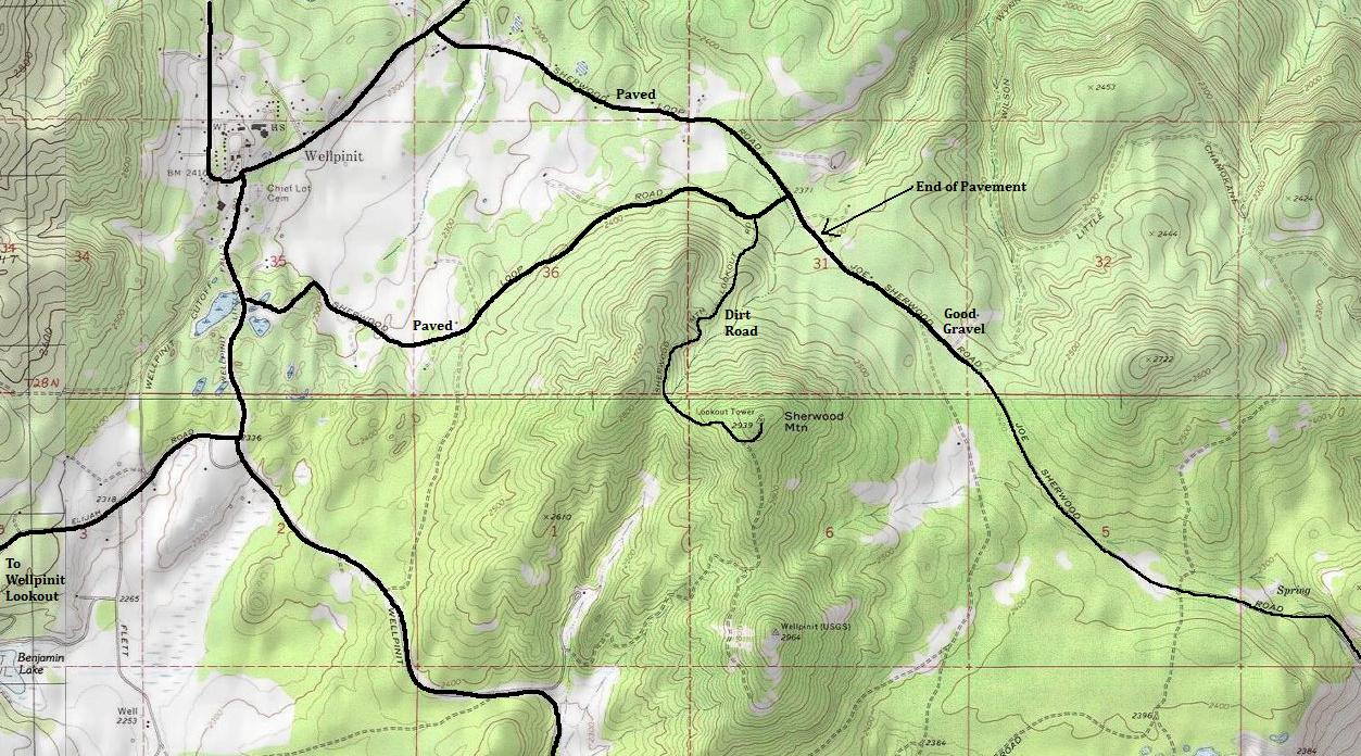
Sherwood Mountain has two summit knolls, the most northerly of the two is where the lookout was at. The southern knoll happens to have a benchmark called Wellpinit, which is not Wellpinit Mountain, another lookout site nearby. From the town of Wellpinit, take either one of the Sherwood Loop Roads, use the map to find the turn onto the signed Sherwood Mountain Road. Once off the pavement, a dirt road works up to the summit. On my visit, only one spot would have been tough for a standard vehicle. For high clearance, the road was good to the summit.
Access
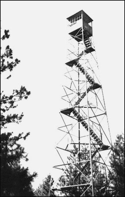
Said to be Sherwood Mountain Lookout 1979
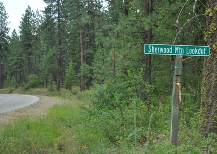
Sign off the Sherwood Loop Road to Sherwood Mountain Lookout
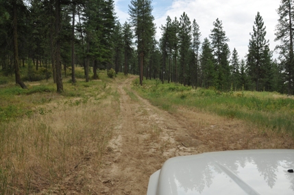
Driving up the Sherwood Mountain Road
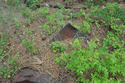
Several metal items appear to be just below the surface
Foundation
Looking north with the center of the loop road that is at the summit
Looing SW
Looking SE


