
Rinker Point Lookout Site
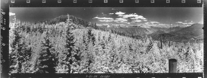
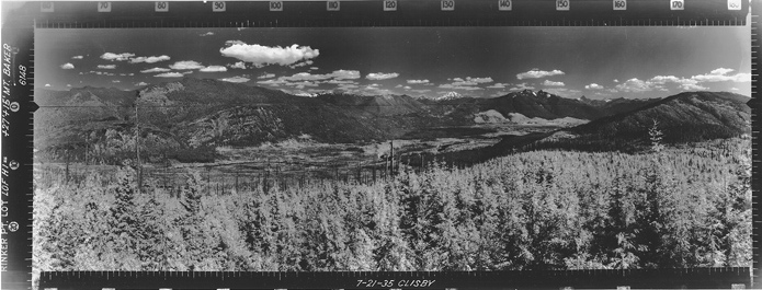
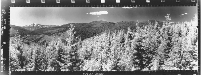
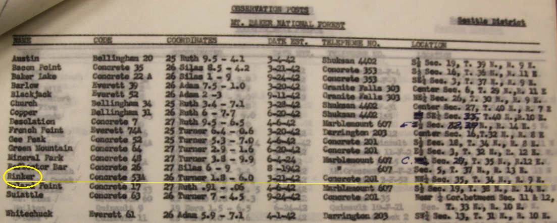
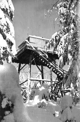
This tower was located along the ridge about a mile SE of Rinker Point. Although new roads have been built, the old ridgeline road in old aerial maps can still be followed to its end at the lookout site. Rinker was built on or before 1935. It was a 30 foot tower with a L-4 cab. Panoramics were taken from the roof in 1935 at an elevation of 27 feet plus 15 feet. The Kresek inventory also says there was an associated patrol tower down near Texas Pond (unknown location). Rinker Point was used by the Aircraft Warning Service during WWII. A sleeping quarters was added at that time for $315 and a road already went to the lookout. AWS records say the land was private but leased indefinite for fire control. The current owner (2019) is Sierra Pacific and no signs suggest hiking is not allowed. A Darrington history website says the lookout was destroyed in 1965.
WillhiteWeb.com: Washington Fire Lookouts
Lookout Elevation: 2,620 feet
Distance: 1 mile
Elevation Gain: 650 feet
Landowner: Sierra Pacific Land & Timber
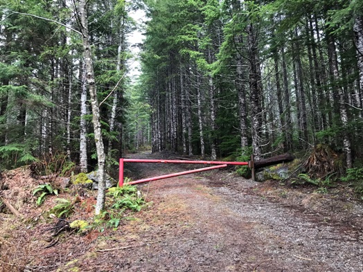
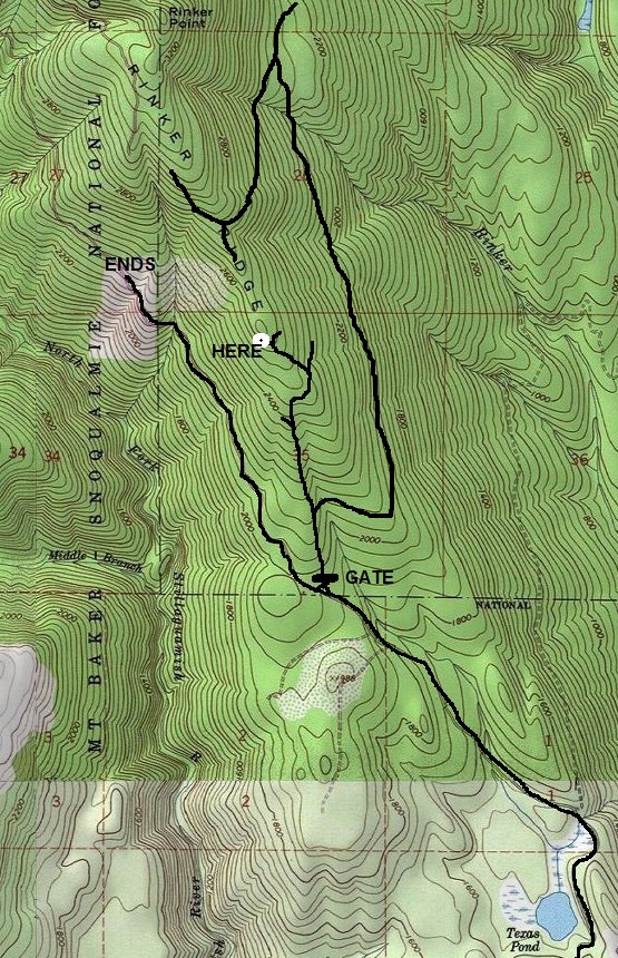
Drive 5.6 miles north from the Darrington Ranger Station. Turn left at the Christian Camp sign on Forest Service Road #28. Follow it 1 mile and make a left just past the Christian Camp. This is a unsigned dirt road between private property. If you hit a gate, you went too far. Follow the unsigned dirt FS road 3.6 miles up to a Y near Texas Pond. Go right, soon passing the campsites and pond. Continue on the gravel road (possibly brushy) until you reach a road branching right ending at a gate. Park here.
Access
Route
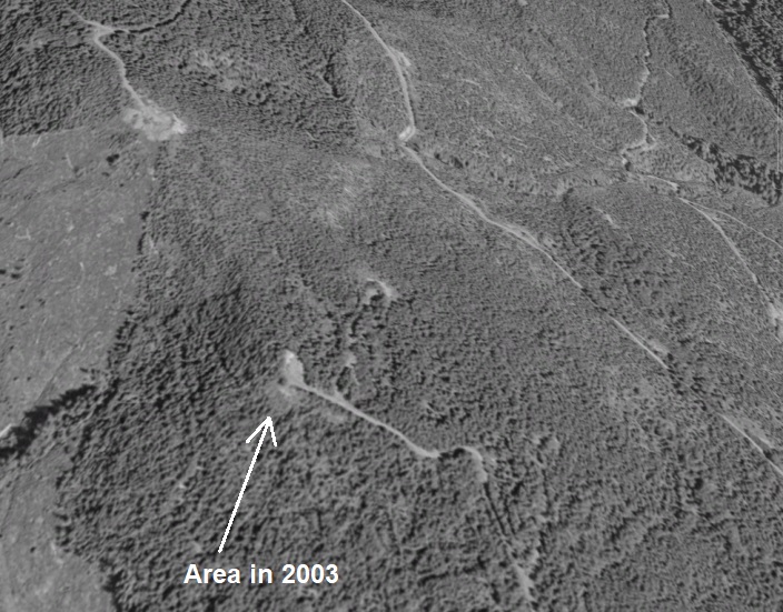
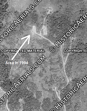
Walk the road behind the gate until you reach a bigger road coming from below. Go uphill and continue to follow the road until it fades and eventually ends at the lookout site, just feet below a forested highpoint. There is a large landing at the end with another older (mossy) landing above it. Somewhere in this area was the lookout. Just to the east of this location, there is a forested flat area and more landings as well. Aerials from the 1980s show they really disturbed this location.
Visits in 2018 and 2019
Without proper research, my first visit was to the actual Rinker Point with a disappointing search result. As usual, after a return home and more research, the correct location was identified. Upon returning the second time, the correct location still seemed unusual since no evidence was found, but logging sometime in the 1980ís drastically changed the lookout site and scattered logging slash everywhere.




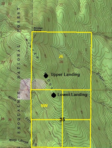
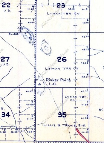



Metsker showing it in SW corner of Section 26, this would match upper landing but Metsker can be off often.
AWS documents showing it in the NW1/4 of Section 35
Showing 2 main landings, AWS says lower and this matches the panoramic photos from 1935
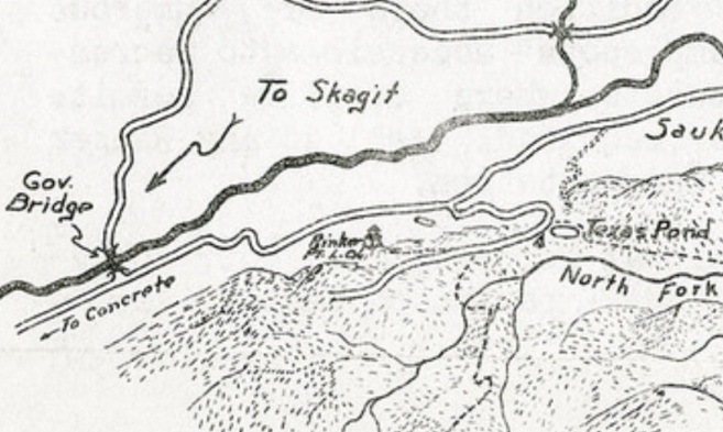
1936 recreation map showing Rinker Point Lookout (have not found it on any other map)
Whitehorse Mountain
Matching the Southwest panoramic on Google Earth ground view
This
This
A secondary ridge is the key to matching a location. Further up or down from this viewpoint will skew the distant point.
A drone would be possible to get above the trees but Google Earth image is pretty good. The photo is shot at 42 feet above the ground in 1935 from same locaton.
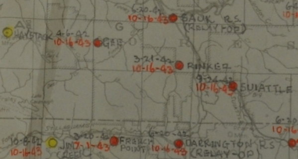
AWS map with dates
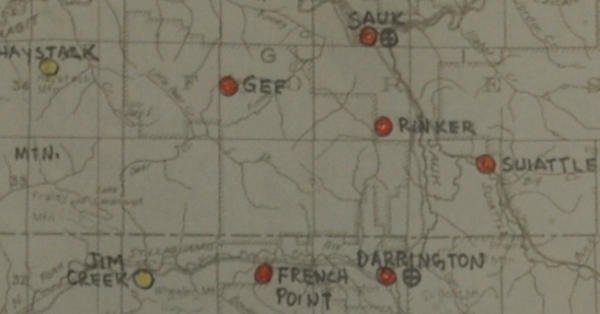
AWS map
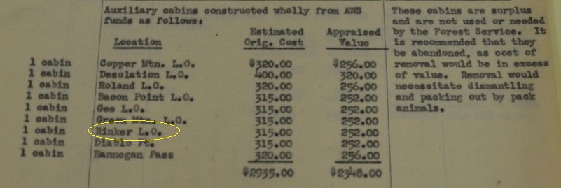
1 cabin built with AWS at Rinker Lookout was surplus and to expensive for removal.
Rinker during AWS was relayed through the Sauk Ranger Station, and the Concrete Exchange.
AWS Observers were Clifford C. Moore and Jay W. Clark.
End of road in 1994 with many new landings
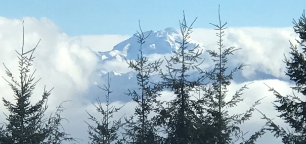
Zoom of Glacier Peak from the upper landing
Starting gate
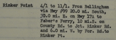
Rinker Point AWS station
Rinker Point accessability during AWS
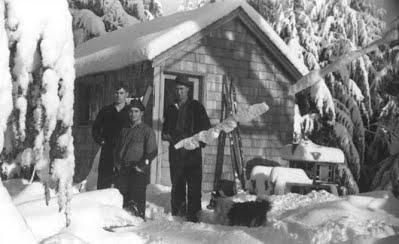
Rinker Lookout image from Darrington Historical Society website
Said to be a storage shed on Darrington website although likely it was the sleeping quarters cabin built by AWS.
Rinker, managed by Mt. Baker N.F., on private land, leased indefinite for fire control, an existing station that was winterized, to retain after war by Forest Service, incactive date of 10/16/1943, with a sleeping quarters added with AWS funds.
Looking North
Looking Southeast
Looking Southwest


