
Red Butte Lookout Site
WillhiteWeb.com
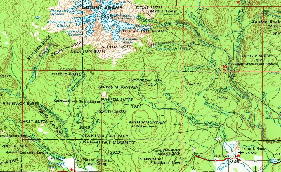
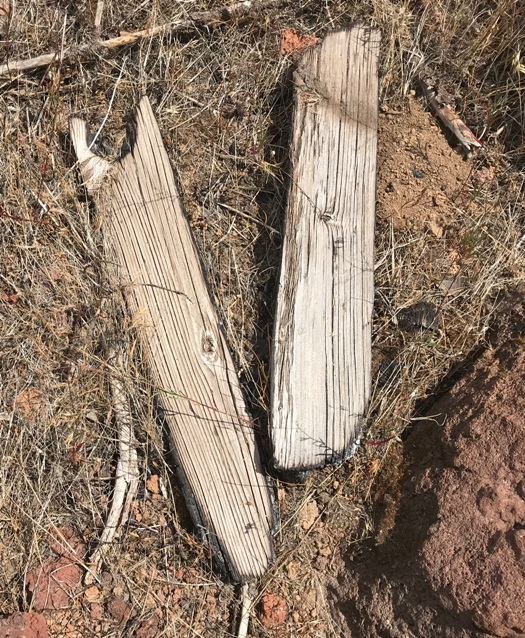
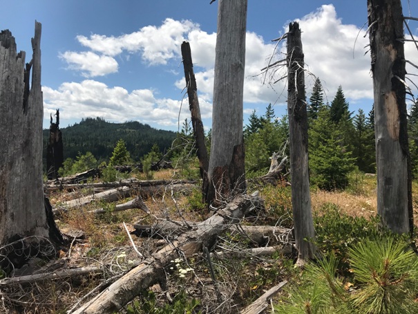
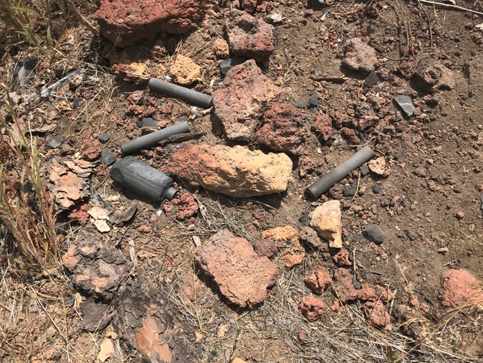
I first found this location on the 1958 USGS maps. It was on the 1963 and 1974 updated versions. One map had “lookout” while the other said “lookout tower”. The nearby Meadow Butte lookout was also identified on the maps so they weren’t confusing the two locations. While visiting the site, I noticed the summit had been through a large fire and had been logged. The fire made it easy to find the summit station benchmark and two directional benchmarks nearby. Near the benchmarks was a stash of burned radio batteries similar to stashes at other lookout sites. The fire had burned the batteries hotter than the surrounding area for the ground was extra charred around the batteries. I also found a few burned wood boards but nothing substantial. If I had to guess, there was some kind of platform tower or just a patrol point here. Having made it onto the map, I would think some kind of tower existed, or a similar crow’s nest to Meadow Butte. There were some very large trees on the summit. Batteries would match the time period of the maps, in the 1950s and 60s radio would be the use.
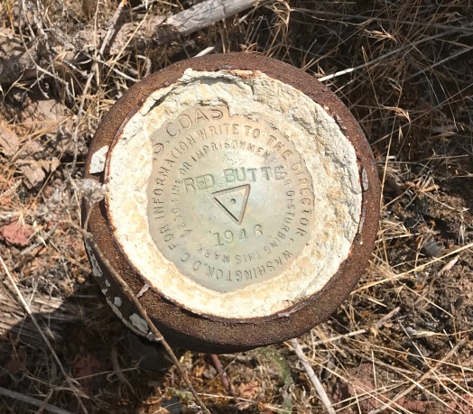
The benchmark was set in 1946 and visited again by USGS in 1947. They described the location at the easterly end of a small wooded knoll known as Red Butte. In the location, they describe the station as about 400 yards south of the logging road which crosses over Grouse Pass and 27 feet east of a pine tree with a triangular blaze on the east side. No mention of any lookout.
Access:
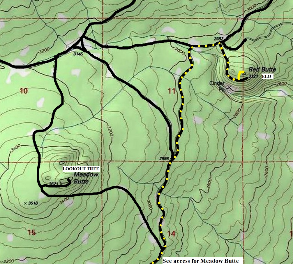
It’s easy to reach after visiting Meadow Butte Lookout. Just take the road down either side from Meadow Butte and use the map provided to get there. If the route crossed any property boundaries, none were posted when I was there in 2019. A road goes nearly to the eastern summit of Red Butte, the final few feet are off the road.
Elevation: 3,121 feet
Hiking Distance: 3 miles from Meadow Butte
Elevation Gain: 200 feet

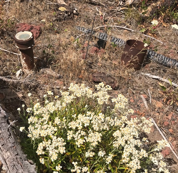
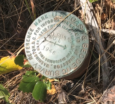
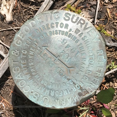
Directional benchmarks one and two
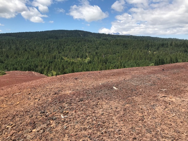
Volcanic area on the west side of the summit and reason for the name Red Butte
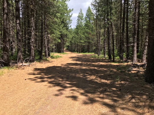
Walking the old Grouse Pass Road
Red Butte benchmark station
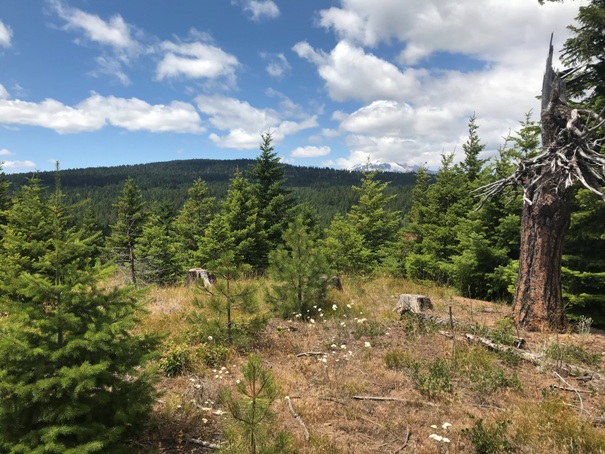
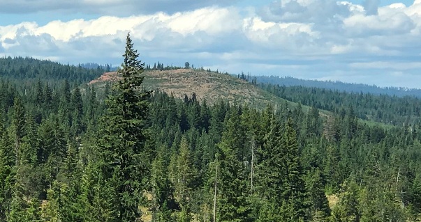
View of Red Butte in route to Meadow Butte
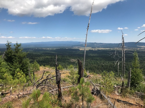
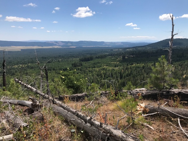
SE to Camas Prairie
East to Glenwood and the Conboy Lake Wildlife Refuge
Battery stash at the summit
Some burned wood boards at the summit
Summit BM and old tin can
Meadow Butte from the benchmark station
NW to King Mountain from the benchmark area
1958 USGS, 1963 update showing a Lookout Tower on Shaw Mountain (Meadow Butte) and a Tower on Red Butte.
1958 USGS, 1974 update with a Lookout Tower on Shaw Mountain (Meadow Butte) and a Lookout Tower on Red Butte.
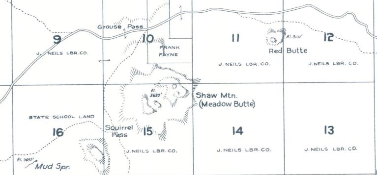
Left: 1934 Metsker Map, no lookouts shown but J. Neils Lumber Company landowner shown and road over Grouse Pass.


