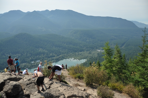

Rattlesnake Mountain Lookout Site
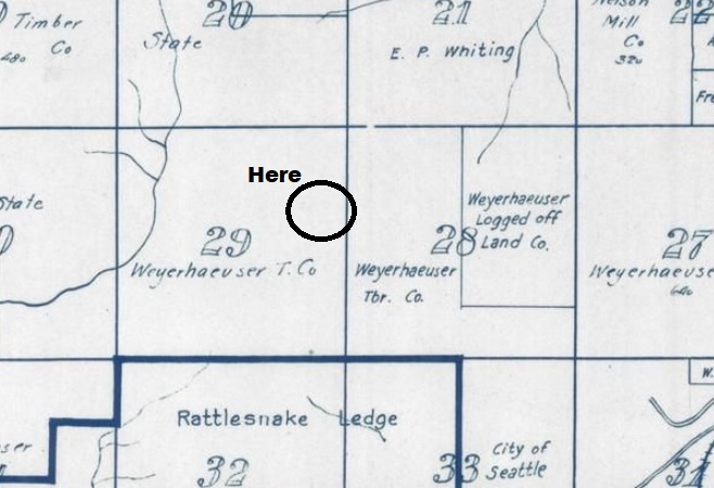
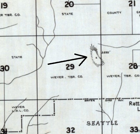
The Kresek lookout inventory lists a tower in the 1930s, giving the location and elevation of the East Peak. Based on land ownership at that time, the tower would have been on Weyerhaeuser land. The USGS in 1937 & 1956 made no mention of one. I have not come across a map or article about the tower. A 1953 map (shown below) shows an Airway Beacon at this East summit, at 3,517 feet. More information to come if found. I will add some pictures if I go back, I visited many years ago but didnít take any pictures.
WillhiteWeb.com: Washington Fire Lookouts
Elevation: 3,517 feet
Hiking Distance: 3.5 miles
Elevation Gain: 2,700 feet
Prominence: 2,520 feet
County: King County
Location: Section 29 T23N R8E
Access
A trail runs the entire 11 mile length of the mountain with trailheads at each end. The closest is the Rattlesnake Ledge trailhead. Near North Bend on I-90, take exit 32, 436th Avenue SE. Go south on 436th Avenue SE (Cedar Falls Road SE) for about 4 miles to the very large Rattlesnake Lake parking area.
Route
Walk one of the most popular trails in Washington to Rattlesnake Ledge. Continue on the trail to the upper ledges, then continue on the trail as it climbs higher. Things have changed since I was there last but hiking logging roads was eventually the way to the summit. Just keep taking the uphill spurs if I remember but since you should have cell service, just look at google maps satellite view to find your way.
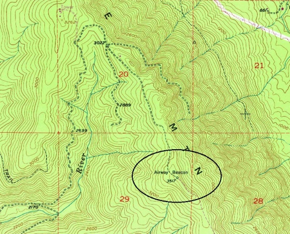
The 1953 map shows elevation 3,517 and the Airway Beacon
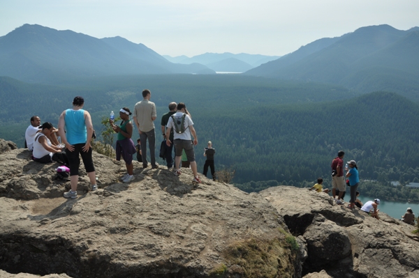
Rattlesnake Ledge
1936 Metsker Map showing Weyerhaeuser Timber Company ownership
1926 Kroll Map showing Weyerhaeuser Timber Company ownership
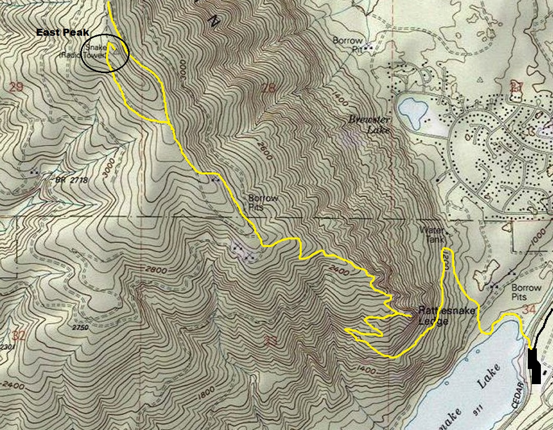
Southern trail access to the East Peak of Rattlesnake Mountain.


