

Point Grenville Lookout Site
Located near the ocean on the Quinault Indian Reservation, Point Grenville was one of the lowest fire lookouts in Washington State. Although most roads on the reservation are closed to the public, Point Grenville is likely accessible due to it being a tsunami evacuation route.
On July 14, 1930, the Centralia Daily Chronicle reported "Taking advantage of curtailing lumber production conditions, scalers and rangers connected with the forestry department of the Quinault Indian reservation are devoting their time to road projects within the reservation. A new road now has been built to the Point Grenville lookout tower, and will be extended later eastward into the reservation to make inland tracts more accessible for fire protection purposes." With this news article, we know the lookout site was used even prior to 1930.
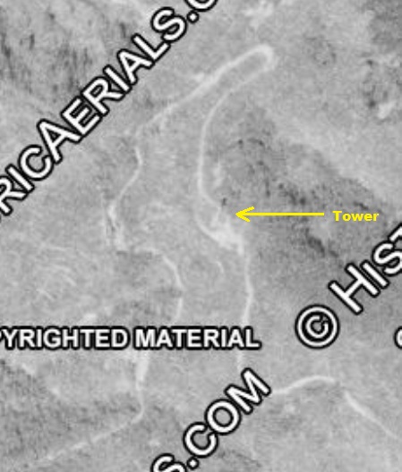
In the 1940s, a 90 foot steel tower was being used. In 1953, the USGS made observations from this tower. They described it as a 77 foot steel tower steel structure with 4 steel legs and 88.55 feet in height. They also noted the tower was 150 yards north of the highest point.
In 1962 the Washington State Highway Commission reported the tower in a state of disrepair, with much of the stairs and many parts including bolts and iron having been removed by vandals, making it unsafe to use in its condition. Kresek also lists the tower as abandoned in 1962.
In 1969 the USGS returned to their benchmark located directly underneath the tower. It must have still been standing as they reported it as a steel structure with four steel legs and 88.55 feet in height.
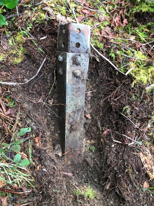
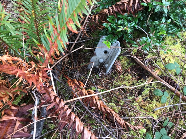
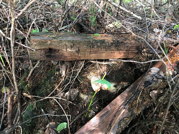
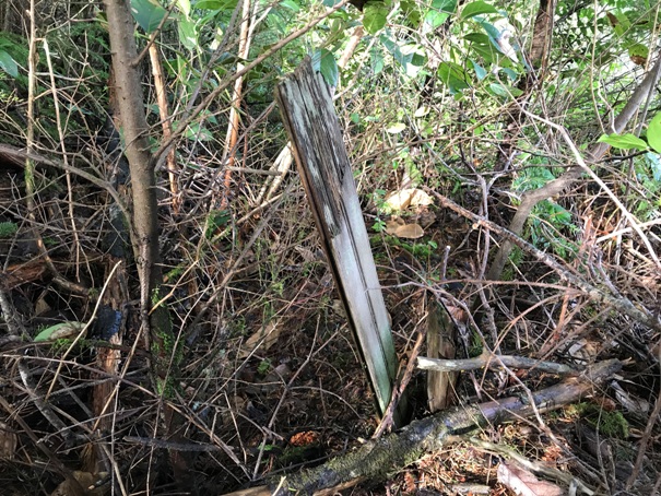
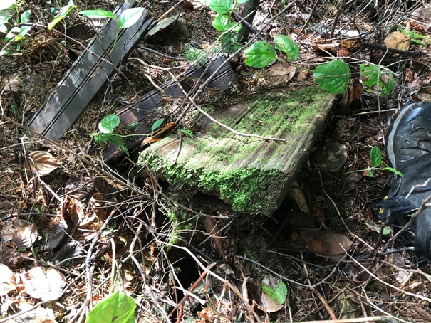
In 2020 during my visit, I found two of the steel footings somewhat buried at the edge of the road. At a nearby giant Spruce tree are the remnants of a cabin, nearly decomposed.
WillhiteWeb.com: Washington Fire Lookouts
Access:
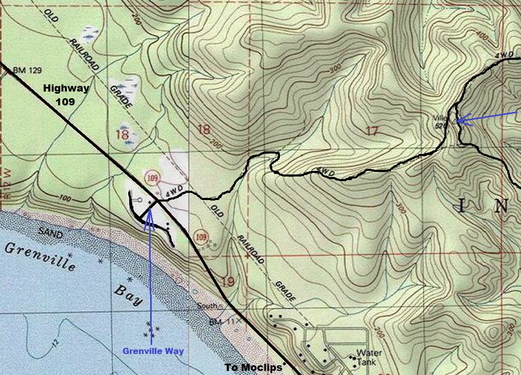
After leaving Moclips, Highway 109 travels near sea level for several miles, then starts climbing. After a bit of uphill, you will pass a fire station, then come to where roads go left and right. On the left is a paved road called Grenville Lane. Go right, onto a dirt road. This is BIA 27, probably not signed. A gate is near the beginning, but I believe this gate stays open because this road is the evacuation route. The road is pretty decent for any vehicle since the road is maintained for any vehicle to escape a tsunami.
Elevation 486 feet
Hiking distance & gain: Drive-up
County: Grays Harbor County
Access: Open for now
Location:
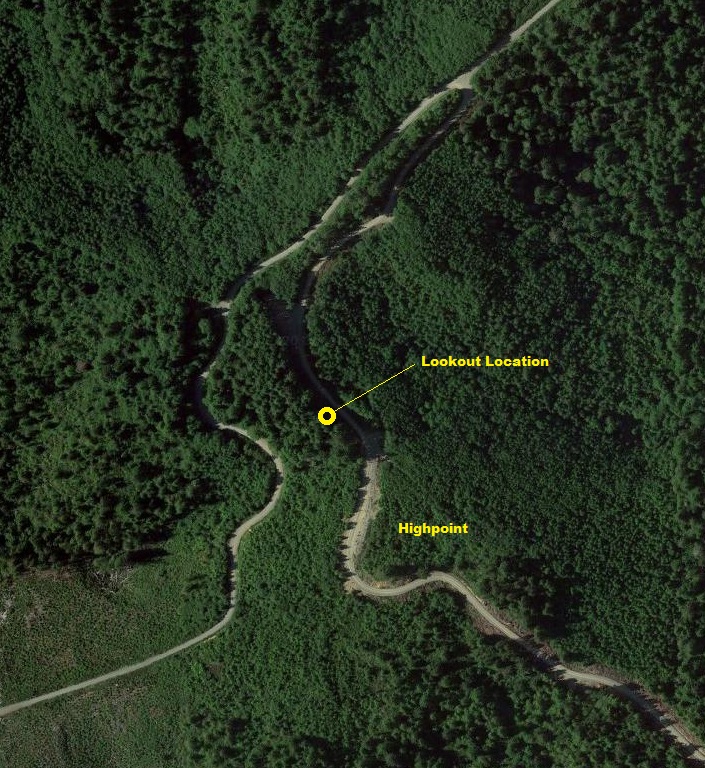
Use maps provided. Note that the lookout site feels like a low spot between 2 higher points. The 2 footings I found are between the road and the standing timber.
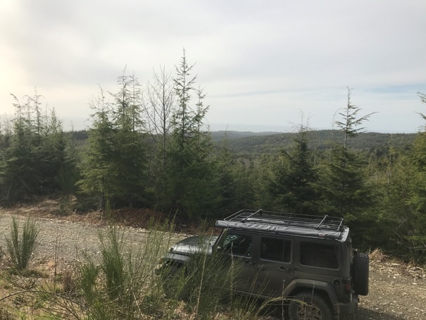
View of the ocean from the highpoint area
One of two footings just off the road but not in the forest
Another footing getting buried
Wood from the cabin
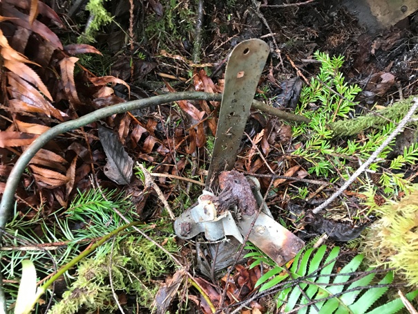
Metal parts from the tower
Wood from the cabin
Wood from the cabin
Access map
A 1953 aerial photo showing the tower and shadow of tower
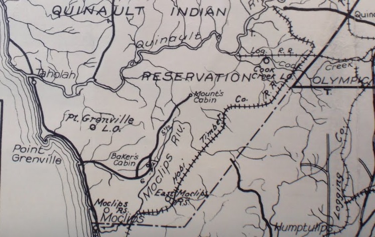
1932 Olympic Trail Guide
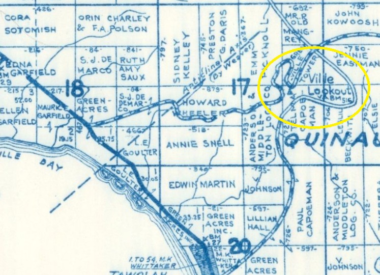
Metsker map showing lookout and all the different landowners
Location of the remains are hard to find without some hints like this map


