
Packsack Lookout Site
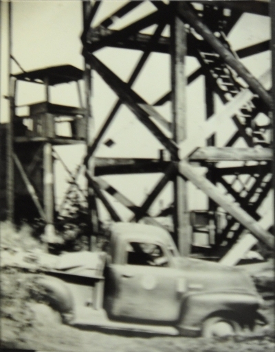
Packsack was established around 1930 with a 10-foot enclosed platform tower. This tower is visible standing next to the third tower in some of the pictures we have.
In 1937, a 110 foot steel tower and accompanying cabin living quarters were built. (No picture available yet). A survey crew described the access in 1937 during a visit to establish the benchmark. “At the far end of the trestle, there is a path leading to the left and up to the nose of a logged off ridge, follow this path up the ridge and into the woods. The path circles along the edge of a deep ravine and leads directly to the station. A 110-foot steel tower used”
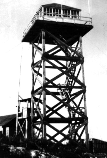
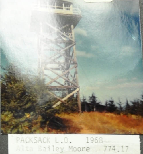
In 1950, a 40 foot wooden live-in tower was built by the Washington State Division of Forestry/DNR (see image).
For the years 1952 to 1955, you can watch the video on YouTube of the lookouts (The Bailey sisters) who staffed it during those years. (link below)
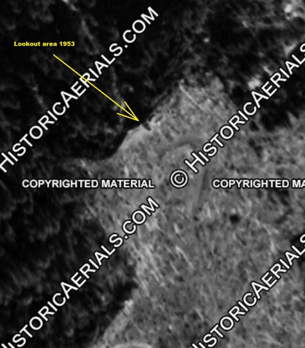
In 1953 the US Geological Survey described the reference benchmark stamped “Pack 2 USE 1937” is centrally located beneath the lookout and 6 feet lower in elevation than the station benchmark.
This last tower was abandoned in 1967 and may have been removed a few years later.
In 1976, a survey crew said the station benchmark is on a 1426-foot high hill at the site of the former Packsack Lookout Tower. They also said the reference benchmark that was under the lookout is 15 feet north of the center of the road and in the center of the old lookout tower foundation, which consists of four 16-inch high angle irons set in concrete.
WillhiteWeb.com: Washington Fire Lookouts
Access:
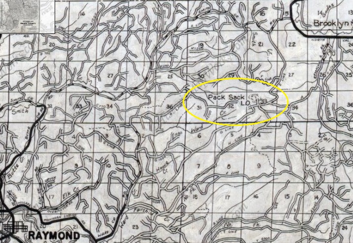
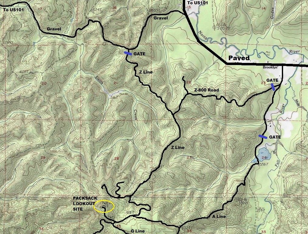
Find your way to Brooklyn from Oakville. As shown on the map below, there are three gated roads that should all work. The gate of the Smith Creek Road was my choice.
Elevation: 1,423 feet
Hiking/Biking Distance: 4 miles one-way
Elevation Gain: 900 feet
Prominence: 543 feet
County: Pacific County
Access: Weyerhaeuser Pe Ell North Permit Required
Location:
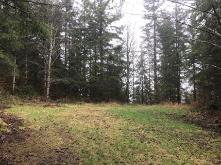
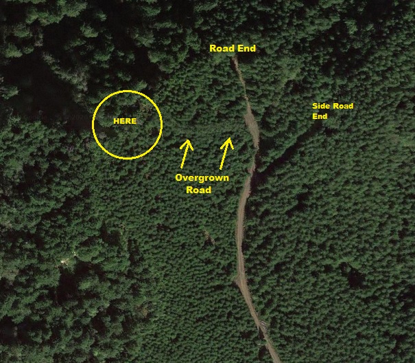
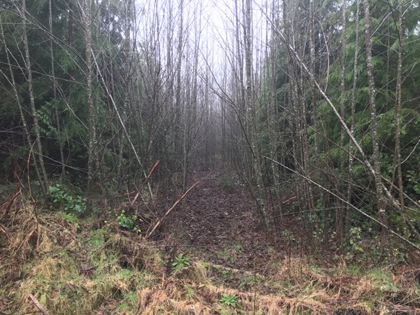
I was biking so I took what appeared easiest from the north on the ridgeline. This was an easy mostly gentle uphill route until the final summit spur road. As you approach the summit, just as it appears you are reaching the top and final landing, look for an old overgrowing road to your left. This road goes to the highest point and tower location. When you arrive, the top is so overgrown I could not find the footings or any relics, but I think there must be some.
End of summit road, cut left just before here
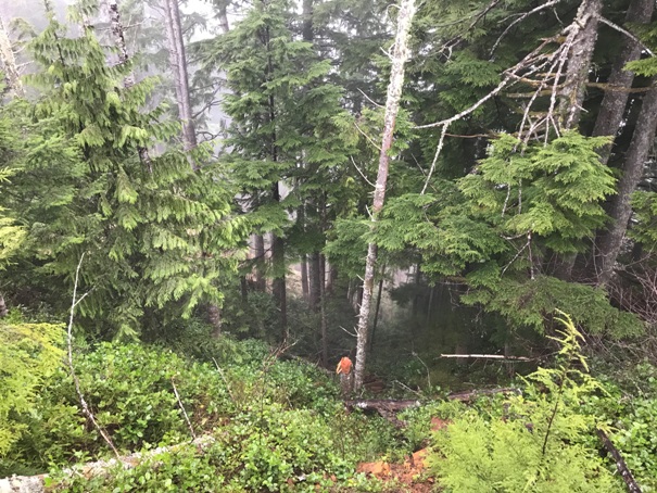
Looking down from the top
Overgrowing road at top
1955 photo
1955 photo
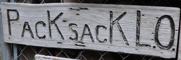
Old sign now at the lookout museum
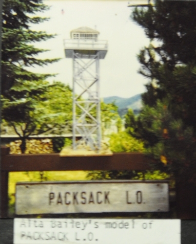
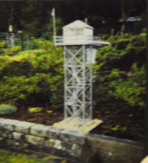
Model of this lookout
Model of this lookout
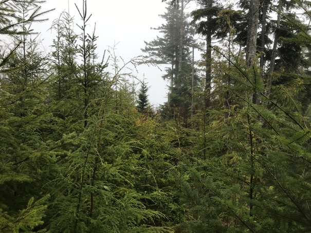
Young trees growing at the site
1968
Aerial showing the road around 2018, circle should be a bit to the right
In 1953 with summit area clear of trees
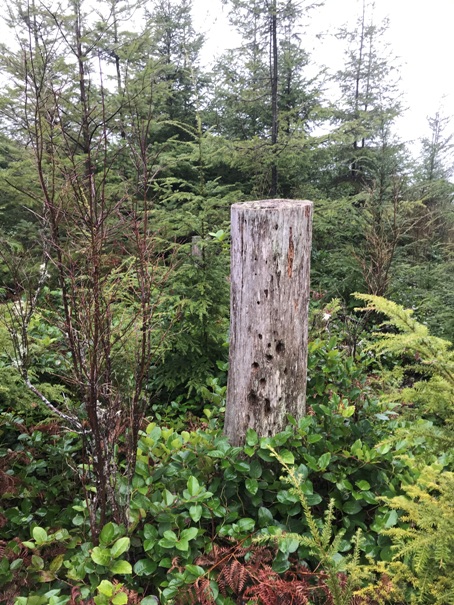
Old stump near the summit
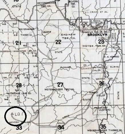
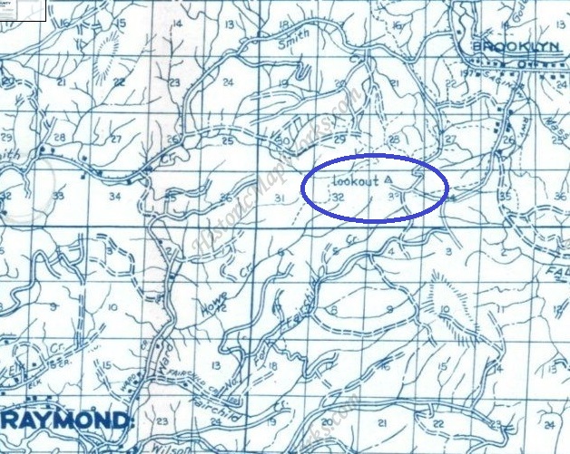
1975 metsker
1980 metsker
1950 metsker
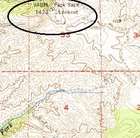
1955 USGS
Showing three options to reach Packsack Lookout site


