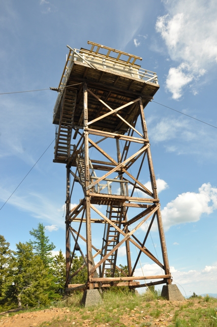
Funk Mountain Lookout
Elevation: 5,122 feet
Distance: 0.2 miles
Elevation Gain: 100 feet
Access: Good gravel/dirt, steep in one section
In 1911, a trail was completed from the Gibson wagon road to an established lookout point on Funk Mountain. The distance was about 2 1/4 miles. A large watering trough was made and installed, and the spring cleaned out and fenced on Funk Mountain.
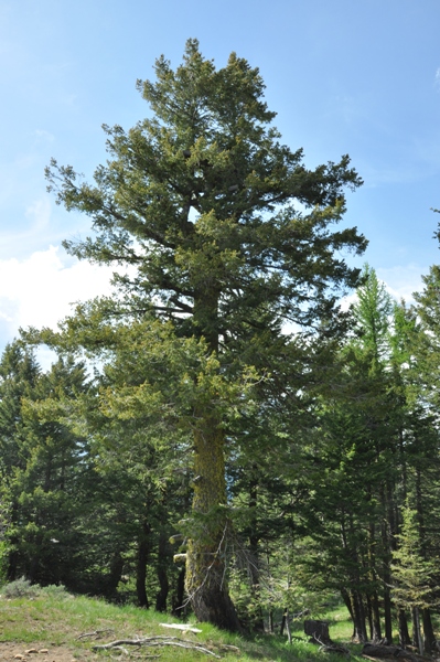
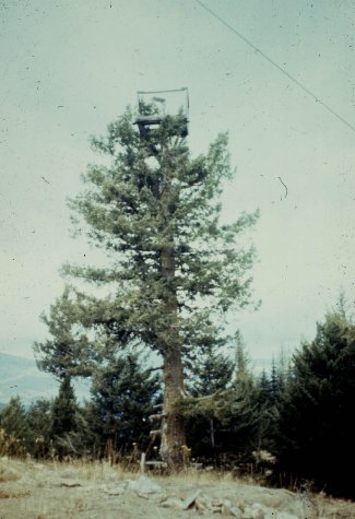
In 1914, a crows nest tree was in use. (The tree burned in the summer of 2021).
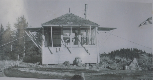
In 1935, an L-5 cab was added for sleeping quarters.
In 1938, the Osborne Photo Survey team visited and chose to shoot from the crows nest, so this somewhat confirms the cab was not used for fire finding.
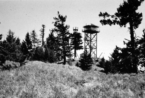
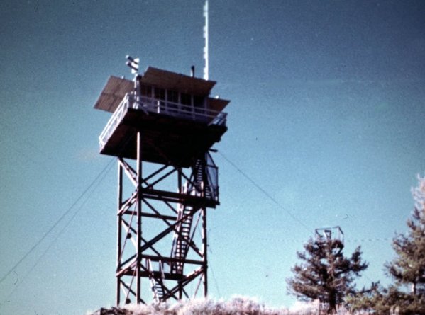
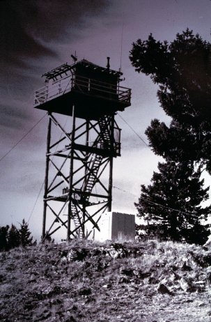
In 1943, the current 40-foot timber tower with L-4 cab was built.
In 1957, Mrs. Harry A. Gavin of Omak completed a 99-day season on Funk. She at that point had served a total of 1171 days as fire lookout. Most of the 11 summers were at Funk Mountain. The district ranger Don Caron said that Mrs. Gavin was rated as one of the best lookouts on Okanogan national forest. It is through the sincere effort of such devoted people as Mrs. Gavin that the fire detection program operates so efficiently, said Caron.
In 1966, the lookout road was reported to be rough and advisable to walk the last half mile to the top.
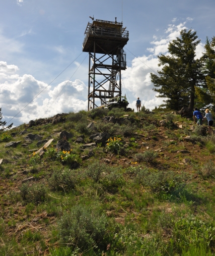
The lookout is now in rough shape and definitely on its last years unless it is adopted. With its close proximity to the outdoor recreation town of Conconully, one would hope it could be used in some fashion, especially since the access road is on public land and in pretty good condition to a gate just 0.2 miles from the summit. The walk up from there is straightforward. ATVs are extremely popular in the Conconully area so most visitors to Funk Mountain ride all the way to the lookout building. The staircase to the platform is quite steep so keep kids close.
WillhiteWeb.com
Access
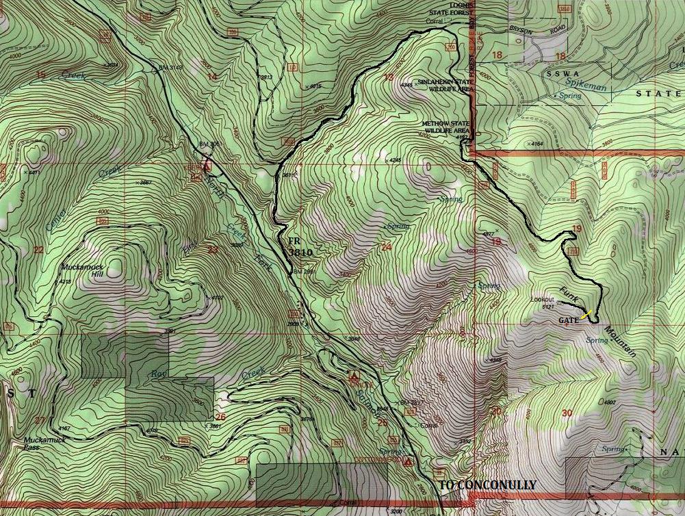
From the corner of Main Street and Broadway in Conconully, go north along Main Street. After 3.5 miles from Conconully, turn right (uphill) onto Forest Road 3810. After 2.1 miles along Forest Road 3810, turn right onto Road 200. Follow this road up to the high gate just below the summit. (use map below).
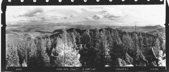
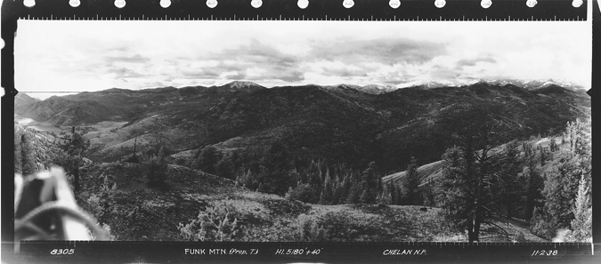
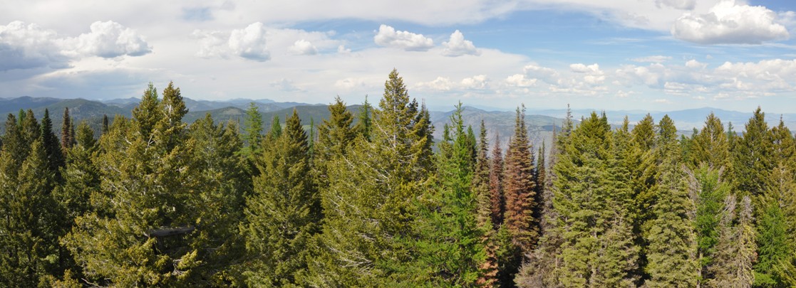
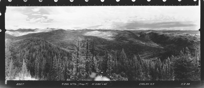
Looking north 1938
Looking north 2015
Looking Southeast 1938
Looking Southwest 1938
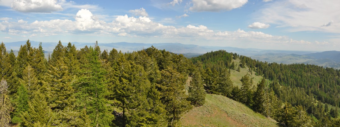
Looking Southeast 2015
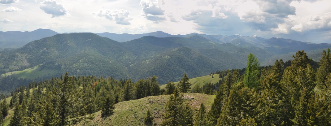
Looking Southwest 2015
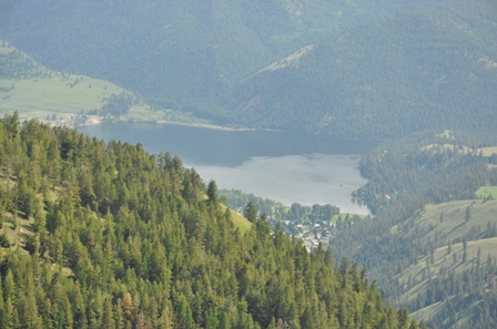
Conconully Lake
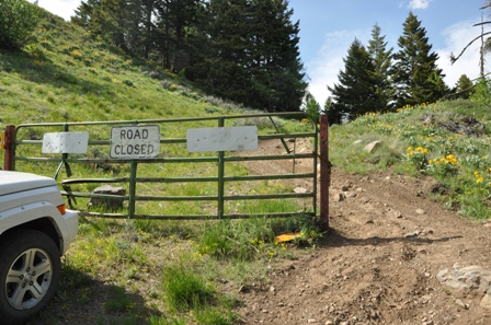
GATE
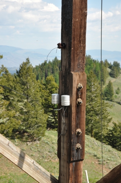
Funk Mountain Ground House 1942
Crows Nest Tree in 2015
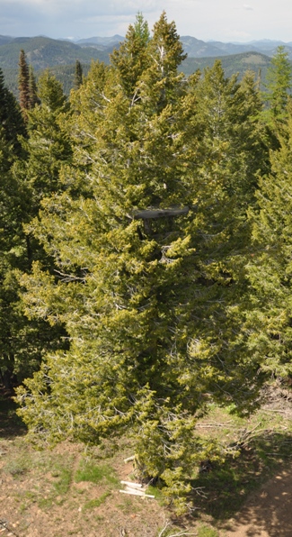
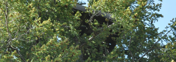
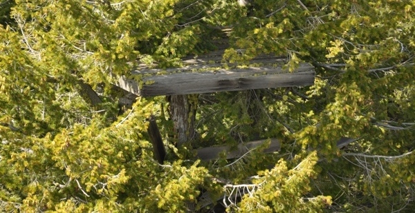
Above: Crows nest platform from the lookout tower
Crows Nest Tree before burning
Communications
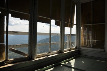
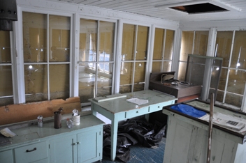
Inside the lookout
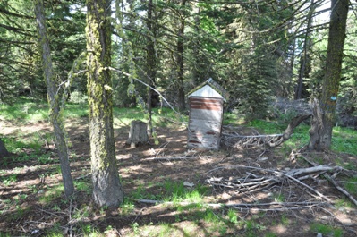
Outhouse
Funk Mountain Ground House 2015
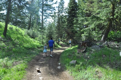
Hiking the 0.2 miles from the gate
Inside the lookout
Funk Mountain Lookout Tower
Crows nest platform from the ground

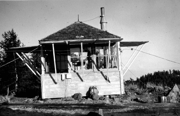
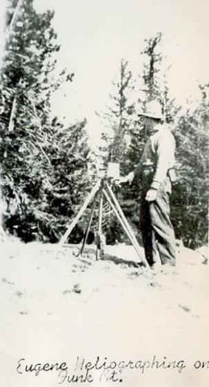
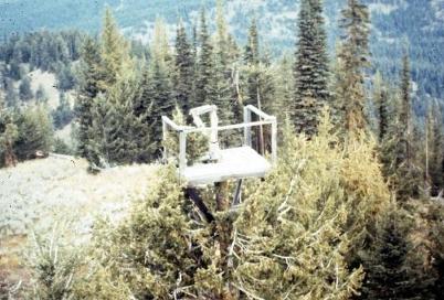
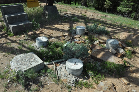
Heliograph on Funk Mountain
Same image as above


