
Burt Lookout Site (Pe Ell Lookout)
Burt was a logging camp in the Willapa Hills in the 1920s located on a railroad route from Chehalis to Raymond. The camp was named for logging engineer Burt Bunker. The lookout most likely just took on the name of the nearby camp.
This site was said to have a 12 foot wooden live-in tower in 1937. The location appears on USGS maps during the 1950s and 60s at an un-named highpoint. During my site visit in 2019, I was not able to locate any evidence of the exact location. But, there was suitable flat ground at the highest and most likely point for the tower. The lookout was reported to be abandoned in 1953. I was surprised not to find any evidence of a structure if one did exist from 1937 to 1953. Below the highpoint on the road are several possible flat areas that could have been home to a lookout if views to the West were not needed.
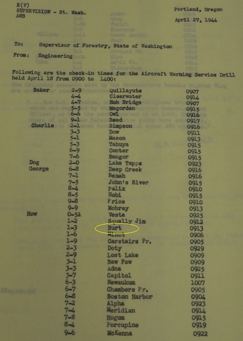
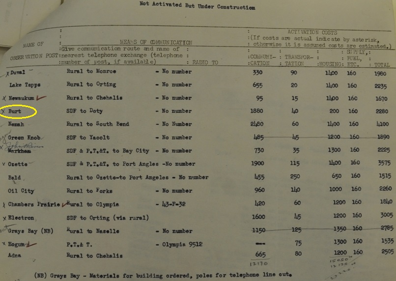
This site was likely used by the Aircraft Warning Service during WWII. I say likely because AWS documents give the location in the next section over, in the NW quarter of section 21. This could have been an error by AWS, it wouldn’t be the first. The NW quarter does have one high prominent knob that looks promising. The AWS documents say the existing structure was located on private land, it was winterized and AWS added no improvements to the site. At the end of service the State retained the building. This would seem to match the Fire Lookout operated by the State of Washington. During my 2019 visit, just incase, I also rode over to this knob in section 21. I visited several high points on the main and only knob in the NW quarter. The highest point (although not shown well on 40 foot contour maps) is a sharp ridge that had promise but nothing was found. 1950 aerials hint something existed here and the highest point almost seems like it has an old trail but in reality, nothing was likely built here.
For now, I’m pretty confident I visited the actual spot but hopefully future information will come out or someone might find some evidence on the ground. I'll be checking out the Weyerhaeuser Company records in the future so maybe then.
WillhiteWeb.com: Washington Fire Lookouts
Elevation 1,384 feet
Hiking/Biking Distance: 6.5 miles from gate
Elevation Gain: 1,000 feet
Pacific County, Washington
Access: Weyerhaeuser Pe Ell North Permit
Access
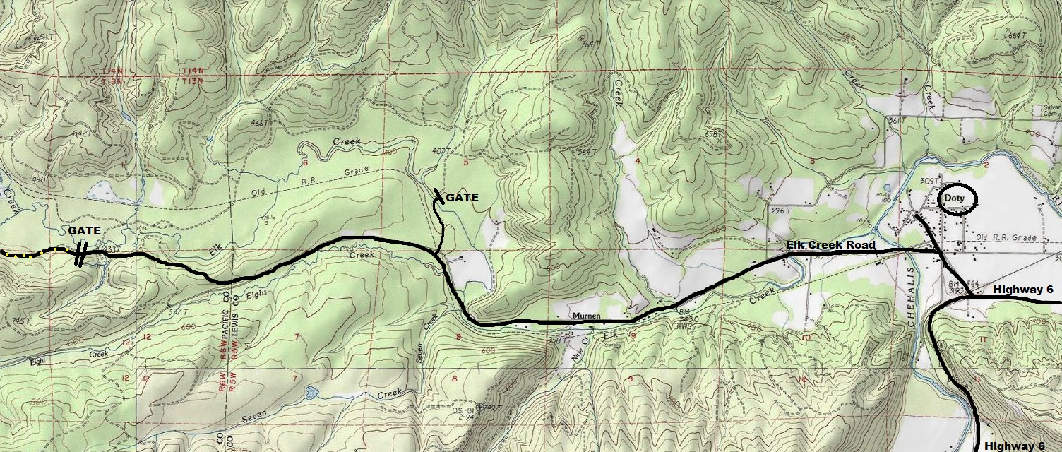
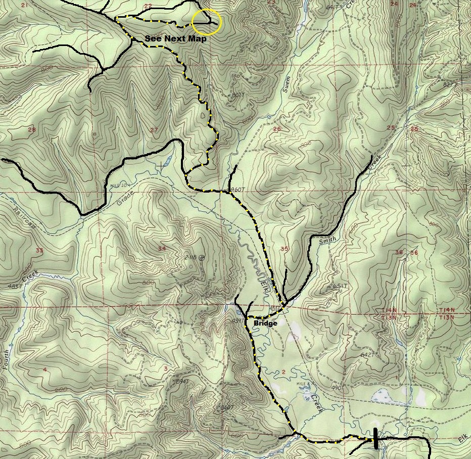
Burt is on the Weyerhaeuser McDonald Tree Farm, in the North Pe Ell Permet area. A non-motorized permit is good for a year and will also get you access into Packsack Lookout site. I approached from a gate on Elk Creek but there are other options. I think mine was the easiest for a non-motorized user but you would want to bike in as the first several miles are flat. See maps at bottom of page for route.


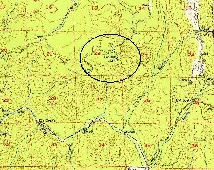
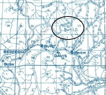



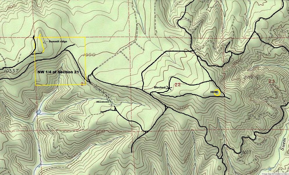


The AWS may have moved the location from the USGS map location. Maybe the move was a few hundred feet as suggested above or maybe over to the NW quarter of section 21.
USGS 1953 map showing the lookout at the highest point on the ridge
Shown on the 1975 Metsker Map
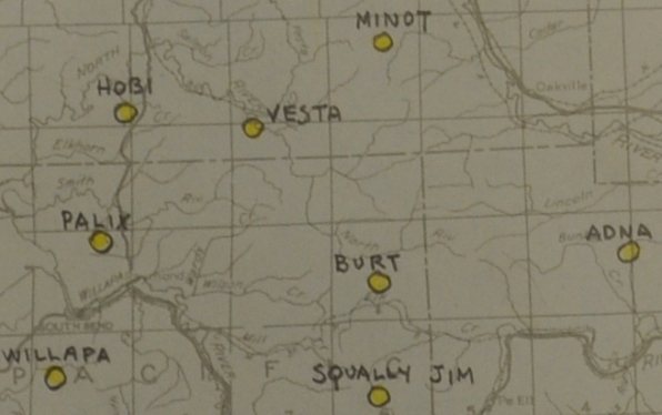
AWS map showing BURT
Showing the Section, Township and Range for Burt Observation Post during AWS
List of what to do with the AWS sites after the war
List of what to do with the AWS phone lines after the war
Burt on the main list of observation posts
Location of possible sites for the Burt Lookout
Access I used to reach Burt Lookout Site
Route from Doty on Highway 6 to the gate used to access the lookout site
Observation post communication route
Aircraft Warning Service Drill
More phone line for Burt during AWS

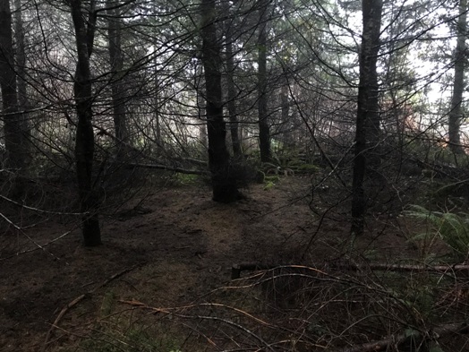
Area shown on USGS maps as the lookout site
Area shown on USGS maps as the lookout site
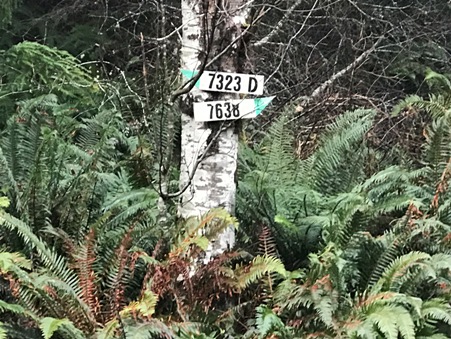
Road signs in the area of the lookout site


