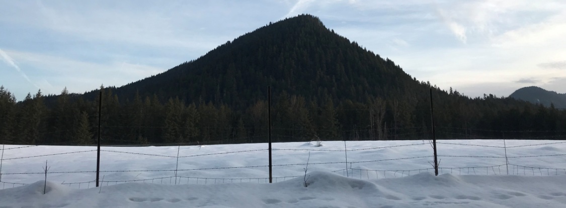

Bunker Hill (Skamania County)
WillhiteWeb.com: Washington Fire Lookouts
Elevation: 2,383 feet (2400+ on topo)
Hiking Distance: Almost 2 miles
Elevation Gain: 1,200 feet
Prominence: 1,200 feet
Access: Paved
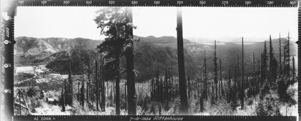
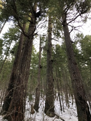
Bunker Hill is geologically a 20 million-year-old igneous plug rising in the Wind River valley. The hill is forested with scattered old-growth trees in the forest. Check out the 1934 Southwest panoramic and you will see the grown trees that survived a fire are now the old-growth trees scattered along the hill as you hike the trail up.
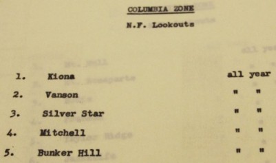
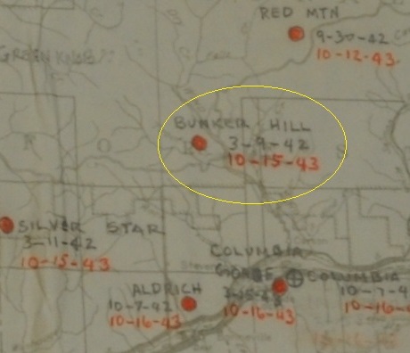
Panorama photos were taken well above the ground on July 13, 1934. Clearly there are cut trees, a triangle made of wood, but I would guess it was just a platform tower. Pete Paladeni (his story below) manned the lookout around 1935 and said there was a little lookout house on the summit. The lookout inventory says a cabin was there in 1940. In 1942, the AWS used the site for aircraft spotting. Improvements added using AWS funds, were sleeping quarters and a woodshed. On October 15, 1943 the AWS no longer needed the site and improvements were retained by the Forest Service for continued use as a fire detection point. The lookout inventory says by 1943 there was a 26 foot pole tower with an L-4 cab. This site was abandoned in the 1950s. There is a benchmark about 150 feet south of the former lookout house on the summit of a low rocky knoll. There is one other Bunker Hill former lookout site in Washington up next to the Canada boarder in the Pasayten Wilderness.
Abridged words of Pete Paladeni recalling stories of the CCC…..
The main CCC camp was at Hemlock which is Wind River Ranger Station today. And then as time went on, I got into different types of work. I worked around the ranger station. The ranger was a man by the name of Ross Shepard, and his parents were neighbors to us where we lived there. And he kind of knew us slightly, and he kind of asked for me to go work over there around the ranger station which had different jobs to do. Some of it would be to get the packs ready for the pack string for the following day, and ten in the morning they had a little lookout house up on Bunker Hill. I would go up there and look out for fires during the day and come back in the evening in time to eat supper. And if it was rainier weather, there was fire tools to check and little odd jobs around the station to do. For the pack string, the pack mules. There weren't very many roads those days, and they delivered grocery and mail and whatever the lookout house people needed by pack string. The packer would go out with these mules and make the rounds to the different lookout houses. The food came from Carson. I believe the lookouts had an open account at Carson, and they could order whatever they wanted, and then at the end of the month they would pay for whatever groceries they got. But through the summer most of the time I'd be up on the lookout house at ten in the morning till evening. I'd pack a lunch and my water with me. It was only maybe a mile up there. Bunker Hill was a little station. You didn't live in it. You just stayed down below and went up in the daytime. It didn’t take very long to get up there. Our legs were pretty young then. From the lookout you could only see kind of toward the Columbia River, and this ridge ran kind of flat on top, maybe a quarter of a mile, and twice in the morning and twice in the afternoon I'd walk to the other end of the ridge to see if there was any fire up in the valley. But for the most part, it was just look out. I did spot a couple of different fires at times. One time we had a lightning storm come in, and Ross said, "I wonder if you'd go up on the station and see if you can see anything." He said, "Some of those strikes hit pretty close." I got up there, and there was an old growth tree right close to the station within about ten, fifteen feet, and the lightning had hit that. And I was standing there kind of looking at that lightning strike and down came a cinder from the tree that had fire in the top. It dropped down. The first thought was: did some bird pick up a cigarette someplace in the highway and drop it, but right away I got on to what was going. So I called down. They sent a crew up to fall it and take care of it.
Access
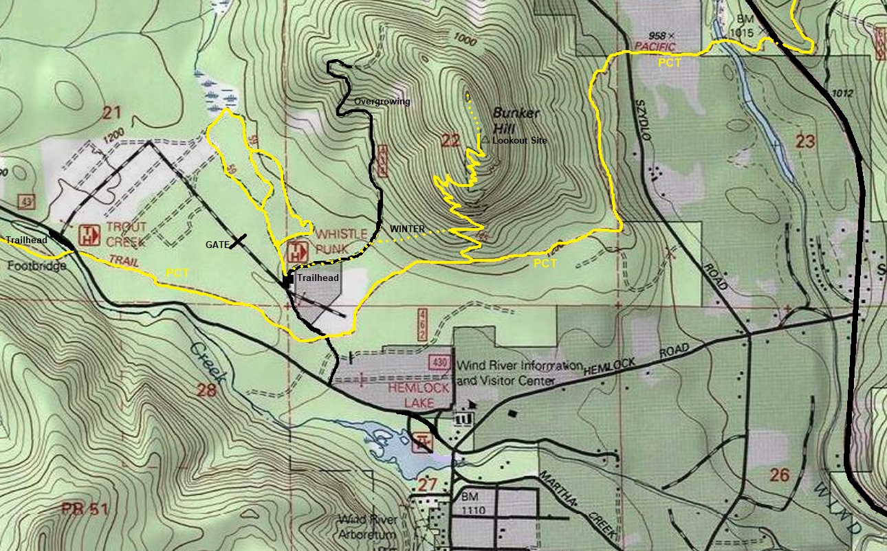
From Carson, go north for almost 9 miles to the left turn for the Wind River Information and Visitors Center (FR 43 Hemlock Road). Just past the center is the Pacific Crest Trail but no parking. I visited in winter so I started at the Whistle Punk trailhead, where the road had been plowed to.
Route
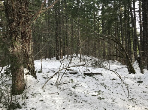
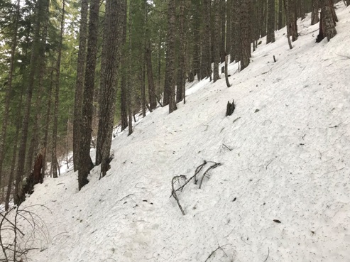
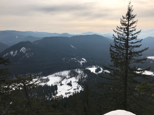
The Bunker Hill trail cuts off the PCT. I was able to snowshoe to the Bunker Hill Trail via open forest from the road that traverses the west side of Bunker Hill. The main Bunker Hill Trail easy to follow even with several feet of snow on it. Highpointers will notice the highest contour is at the north end of the ridge but everyone agrees the map must be wrong after visiting both locations. At the last switchback before the top, a rock pinnacle just off the trail provides the only real viewpoint.


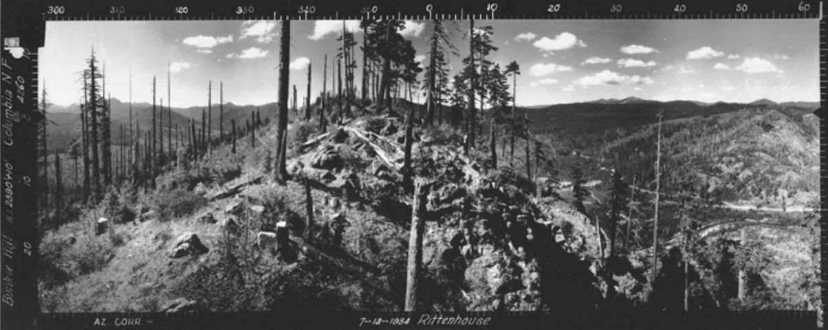

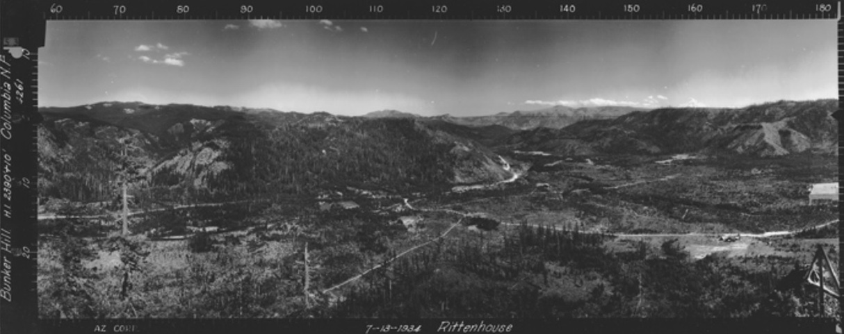
View Southwest July 1934
View Southeast July 1934
View North July 1934
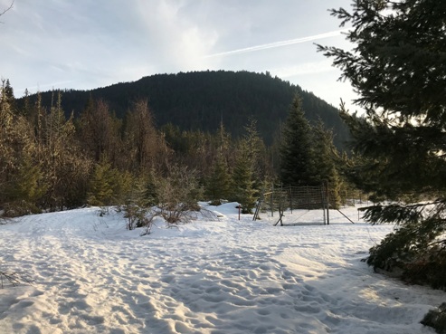
Starting near the Whistle Punk Trailhead
Old trees spaced in younger forest
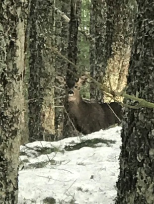
A deer was standing on the north summit
Bunker Hill Trail under snow
Summit and lookout site
View from open area just south of lookout site
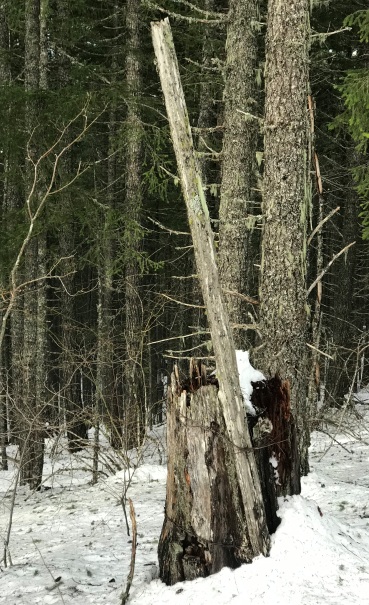
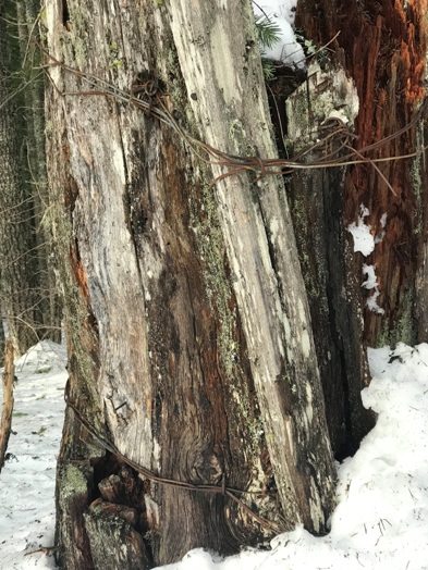
A telephone pole still standing
Wire still holding pole to the stump
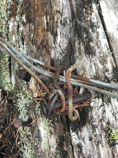
Close up of nails and hooks holding the wire
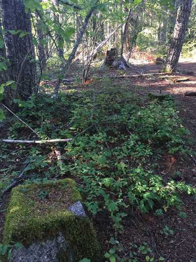
Image taken from internet of the footings in summer
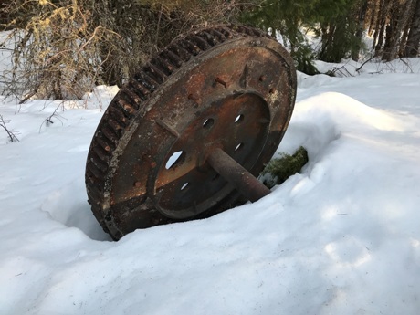
Railroad logging artifacts are part of the Whistle Punk trail loop
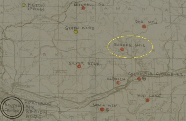
AWS map showing Bunker Hill service dates
Bunker Hill was used over the winter of 1942/1943
Accessibility of Bunker Hill in 1942
AWS observers in 1942
AWS map showing Bunker Hill
Map showing the multiple routes to take to reach the Bunker Hill Trail


