Suiattle A.W.S.
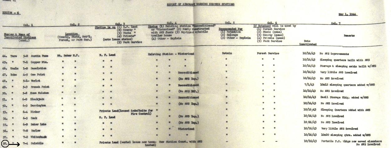
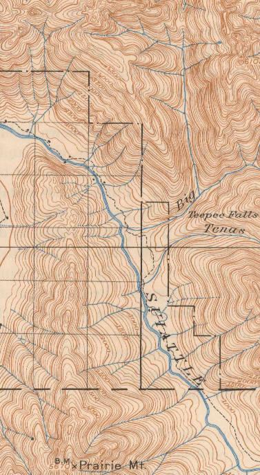
This low elevation observation station has been tricky to identify. Because it was on private land under a verbal lease, I have not been able to identify what exactly was there. Documents say it was a new station constructed with AWS funds. The structure was retained, a portable F.S. building now moved elsewhere, no AWS involved with removal, likely went to private person. Maps from the 1940s show the area along the Suiattle was private land, with some structures, likely homesteads or summer cabins. I'm not positive what the 1/4 corner between Section 11 and 12 is but I would guess the small corner in section 12 that the river cuts off at the SW corner.
Location: Near 1/4 corner between Section 11 & 12, T33N, R10E
Land Ownership at time: Private
Date activated: September 24, 1942
Date in-activated: October 16, 1943
Aircraft Warning Service - Washington State
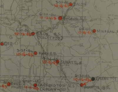
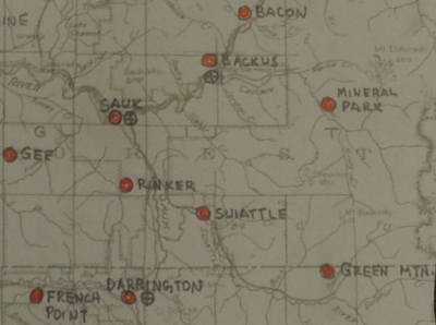
Suiattle on the AWS map
Suiattle the AWS map with dates

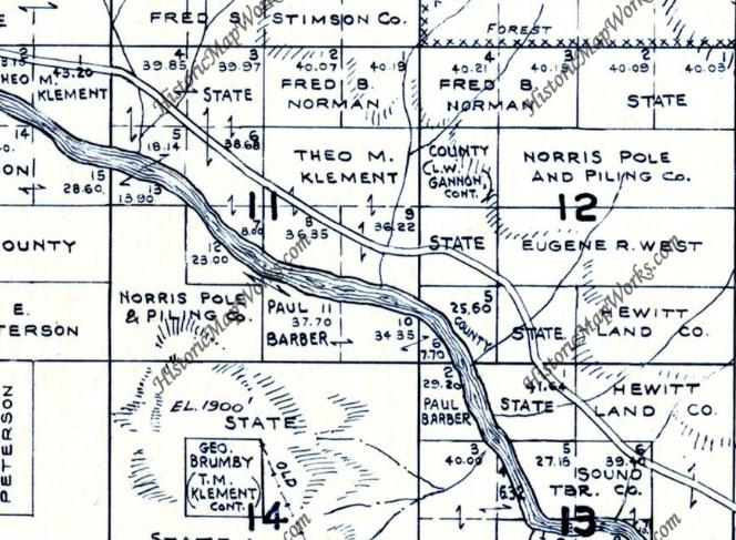

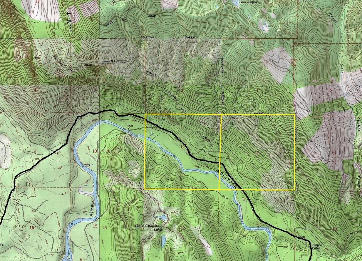

Sections 11 and 12
1901 map - 1946 edition showing homesteads along the river in the area
Land ownership in sections 11 and 12 in 1941
Report of Aircraft Warning Service Stations - May 1, 1944
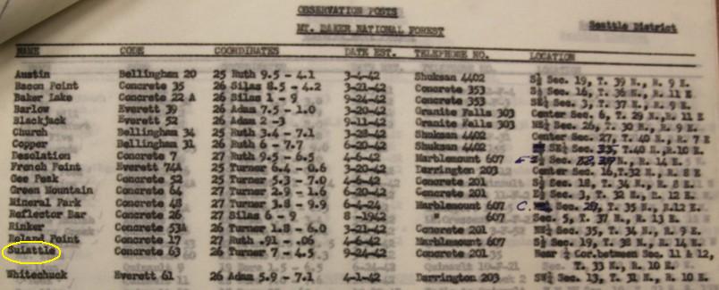
Observation Posts in the Mt. Baker National Forest
Suiattle location


