Corrigenda Guard Station
AWS in Washington
You probably have never heard of the Corrigenda Guard Station. If you were hiking or climbing in the 1920s or 30's, you would know it as a major trailhead into the Olympics for the Dosewallips trails. Today, nothing remains of the station, it was torn down and the road keeps going further up the valley. The Guard Station was located five miles up the Dosewallips Valley, originally right off the road. Since then, a newer road was built lower down the hillside. Wilson Creek was the water source and you might be able to find remnants of the old water line that served the station. Al Nickelson was assigned to the Corrigenda Guard Station by the USFS for five consecutive summers. He graciously shared with me some of his knowledge and experiences with his time at the Guard Station.
The original Corrigenda Guard Station was located at the Wilson family homestead. The Wilsons arrived in 1890 but in 1901 when the Olympic Forest Reserve was established, the Wilsons sold their holdings to the government and moved to Seattle. Their house became the first Corrigenda Guard Station. The home was located on Wilson Creek where the road today crosses it. The newer Corrigenda Ranger Station higher up the hill was on a small bench about 100 yards from Wilson Creek. It may have been moved to this location to improve the view of the Dosewallips Valley so the guard could see portions of the forest hidden from the Mt. Jupiter Lookout. The view was good enough for the Army to positioned a person here to spot for enemy aircraft during WWII. The station included a garage/workshop building a short distance away. Inside was firewood and firefighting tools. A flagpole and outhouse were also on the site. According to Ida Bailey, other buildings nearby were a small CCC camp during the 1930's. The station was used for some purpose to at least 1967 or shortly thereafter.
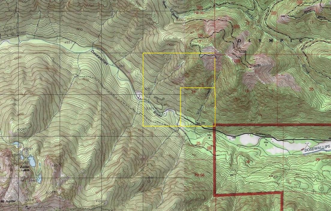
Location: SE1/4 S24 T26N R3W
Structure: Forest Service Guard Station
Owner of Land at Time: Olympic National Forest
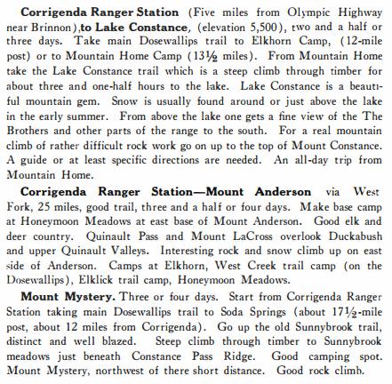
Before all the hiking guide books were published, the Mountaineers were the resource to use when finding where to go hike or climb. Below are some trail descriptions for hikes out of the Corrigenda Ranger Station. In a 1920 Mountaineers Annual, the party described leaving Brinnon. "From Brinnon, the greater portion of the party walked while others rode on a little gas car about five miles up the logging railroad to Corrigenda Ranger Station where some weeks before our commissary had been unloaded." Below are some 1920's climbing recomendations.

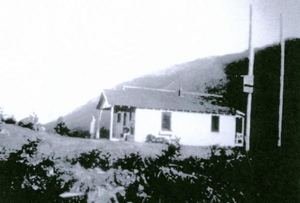
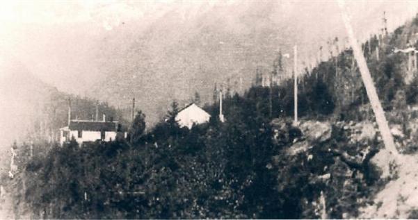


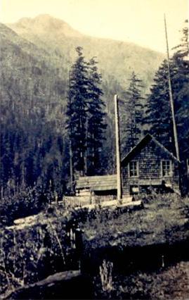
Wilson House circa 1918, this was the first Corrigenda location. Mt. Jupiter in background, photo courtesy of Ida Bailey.
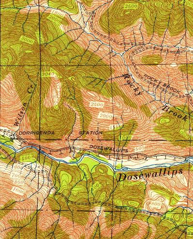
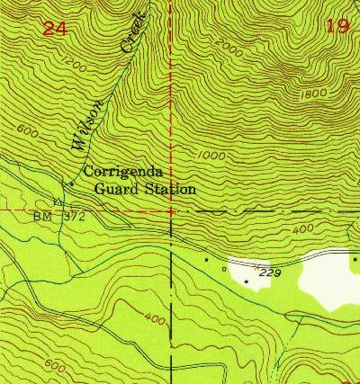
1953 USGS Map
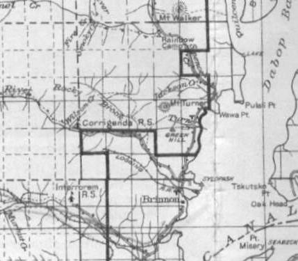
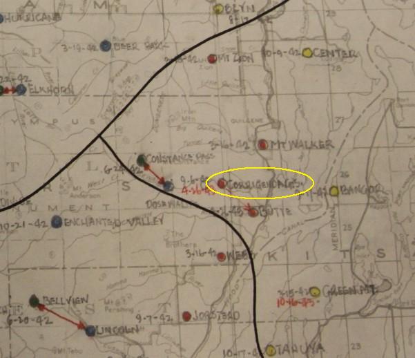
1936 map with Corrigenda Station on Wilson Creek
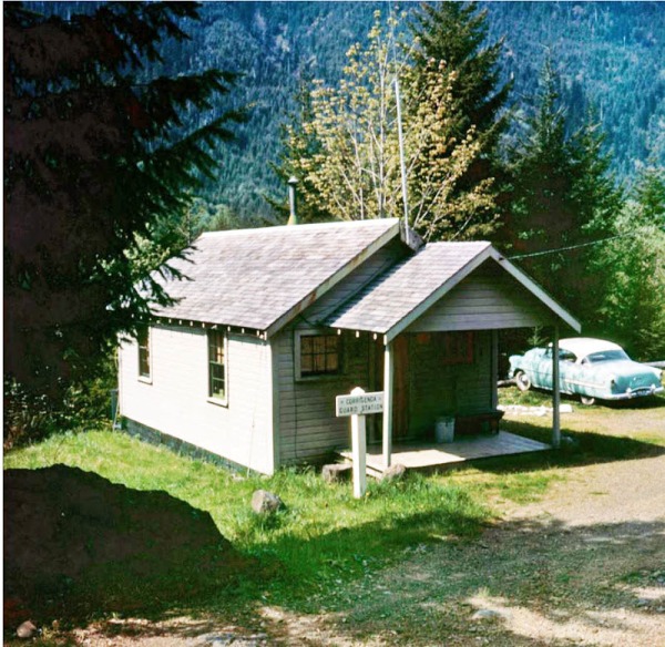
Corrigenda Guard Station - Photo courtesy of Dick B.
Corrigenda Guard Station in the 1930s (Photo courtesy of Ida Bailey)
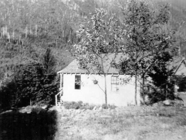
Corrigenda Guard Station in the 1940s (Courtesy of Mari Phillips)
Corrigenda Guard Station showing nearby garage. (Picture courtesy of Ida Bailey)
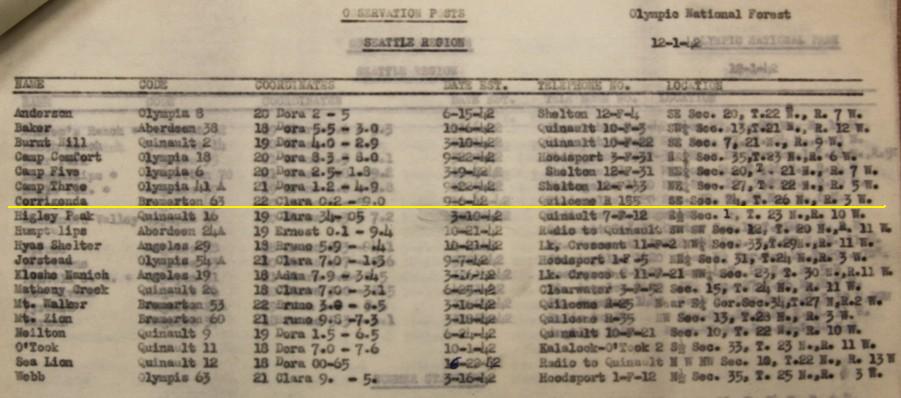
Aircraft Warning Service map during WWII
1923 Olympic National Forest Map
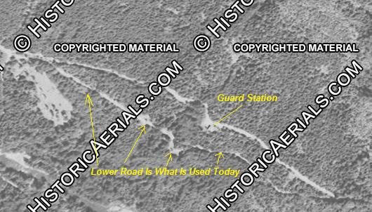
1951 Aerial. Maps and images show 2 roads. Today, only the lower road exists.
Wilson Creek in SE 1/4 of Section 24 - the location given in AWS documents
A.W.S Records: Date establishted 9/6/1942 - Used during winter months until 4/26/1943 (see below)
Corrigenda was an existing structure used by A.W.S. that was winterized, no AWS money was involved. Date inactivated: 4/26/1943
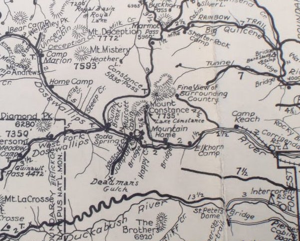
1930 Olympic Trail Guide Map showing Corrigenda R.S.
What is a Fire Guard, by Al Nickelson (Corrigenda Guard 1954-1958 summers)
The central function of a fire guard was to be located where he could travel to and begin to fight a fire soon after it was reported by a lookout station. Guard stations were usually located in major river valleys and guards almost always faced an arduous hike, usually up hill, through the forest to reach the location of the smoke. The idea was that by quickly arriving at the fire it would still be small enough to contain or at least successfully battle until a suppression crew from headquarters could arrive and finish the job.
Hanging on the wall of each guard station was the standard "fire pack". This consisted of an uncomfortable, not very well padded wood frame to which were attached the tools of wildfire fighting. Each pack had a Pulaski (combination axe/grub hoe) and a shovel with removable handle for easier packing. Included also was a collapsible rubber water bag (about four gallons) to which could be attached a short hose and telescoping pump (pecker pump as it was irreverently called by fire fighters). Contained in a small tarp, which was supposed to provide shelter for overnight episodes, was a one day supply of WW2 surplus c-rations, a map of the local area with compass, a battery powered headlamp and a small rust aid kit. The whole outfit was not particularly heavy weighing about 20-25 pounds. The guard was responsible for maintaining this pack and having it ready for instant use.
Upon assignment to a station every fire guard was given a job list. Some of these jobs could be accomplished in the first couple of weeks on the job and others were ongoing or continual. Early in the summer, before serious fire weather arrived, guards would be found preparing campgrounds for visitors, posting signs along roads and trails, repairing the guard station building (I once shingled the roof of Corrigenda), painting outhouses and brushing along the forest roads. One summer, the early July weather was so damp and cool that the guards were posted to the trail crew for two weeks. We worked on the Dungeness trail.
