Andrews Ranch AWS Site
AWS in Washington
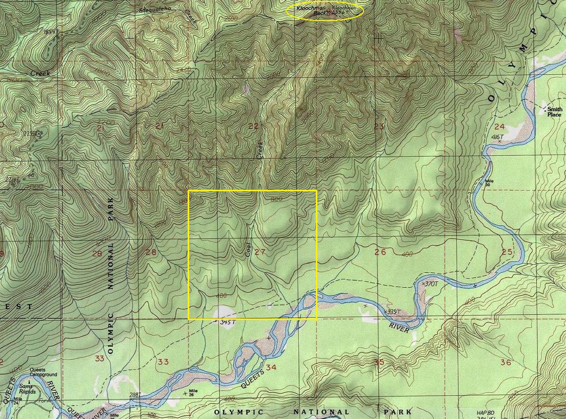
When observers were not high up at the Kloochman Rock fire lookout looking for enemy aircraft, they were directly below in the valley bottom at the Andrews property. We know from AWS records that the site was in Section 27, established November 1, 1942. History tells us there were two landowners in this section, brothers John and Victor Andrews. Because we don't know the quarter section, I'm not sure which Andrews brother the A.W.S. site was located at. Probably John with the larger pasture.
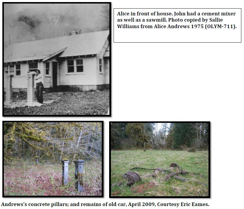
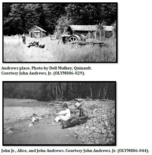
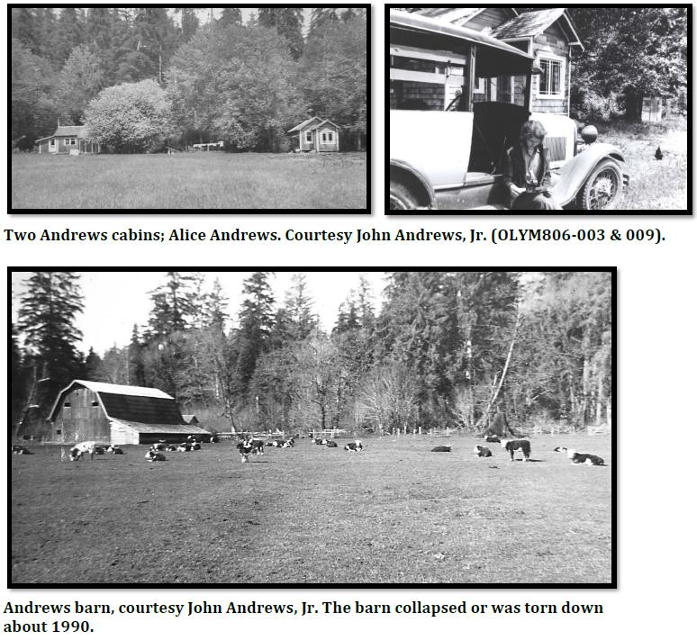
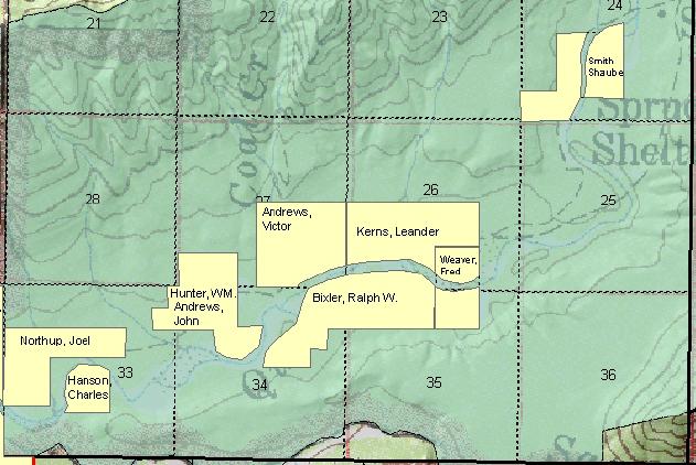
John Andrews bought his homestead in the Queets in 1926 from the original homesteader William Hunter. On his farm, he built a barn and house and raised Hereford cattle. A large opening existed there, even today, the opening is known as Andrews Field, about 1.8 miles up the Queets River Trail (formerly known as "Andrews Lower Field). In 1936 the Andrews home burnt down, apparently when hunters were using the adjacent shed and left their fire alone. Andrews then built two cabins, one for the family and one for guests. Maybe the paid AWS employees used this guest barn, possibly. Johns brother Vic Andrews had a place half a mile above on the west side of Coal creek that he homesteaded in the late 1930s. He had a 3 room house, a woodshed and a barn.
The Andrews property was in the upper Queets. His land was acquired by the National Park Service in 1940. I'm not sure of the agreement but residents weren't required to move off the land right away, and in a short time, WWII broke out. The property was then used by the Army for spotting enemy aircraft sneaking up the Queets to get to Puget Sound. An AWS document (shown below) says that the structure used to house the observers was already established and no money was spent improving structures. It also says the land was owned by the National Park Service. During the war, the government was already debating what to do with the residents of these recent land purchases. They didn't want the families to be required to move out during the war due to the lack of materials at their new destinations. There was also discussions that landowners like John Andrews with his large herd of animals was helping provide food for people during the war, a resource that shouldn't be abandoned in a time of need. Andrews had doubled the cleared area of the original Hunter homestead and had a large hay pasture. He grew vegetables and fruit, and had fifty cattle, one hundred and fifty chickens, fifty turkeys, and six peacocks, which he used to scare the elk out of the field. In the end, he was permitted to stay during the war years. They stayed until 1944 when John purchased a larger ranch at Grass Creek near Humptulips. John passed away in 1976. The road went up two miles above the properties, and they built a trail from there up several more miles.
Location: Section 27 T25N R10W
Structure: House or cabin
Owner of Land at Time: Olympic National Park

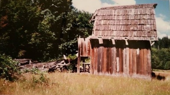

Andrews Barn in the mid-1980s
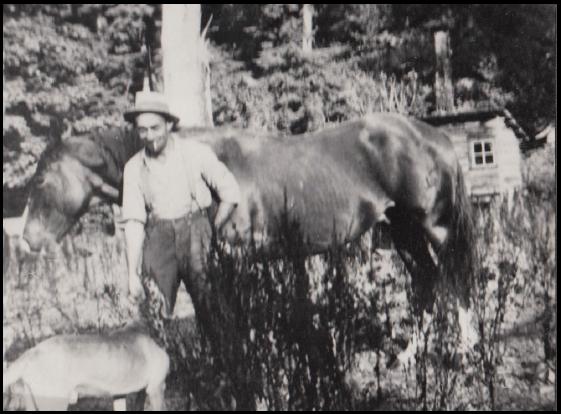
Vic Andrews in the 1930s
Todays topo still shows the opening of Andrews Lower Field in the bottom of Section 27
Early landowners in the area
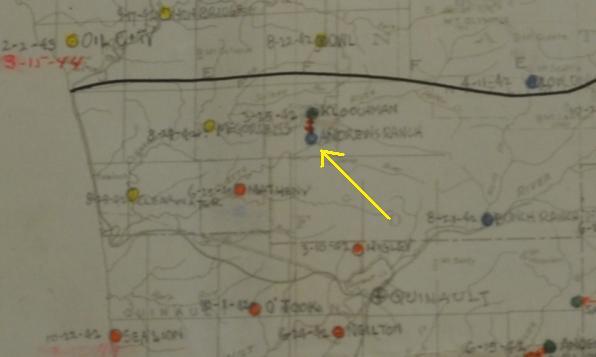
AWS map showing Kloochman with Andrews Ranch as the winter for Kloochman
Andrews Ranch (Baker 6-5) - Park Service Land - Existing Station
No AWS funds involved
Andrews Ranch (was Quinault 32)


