
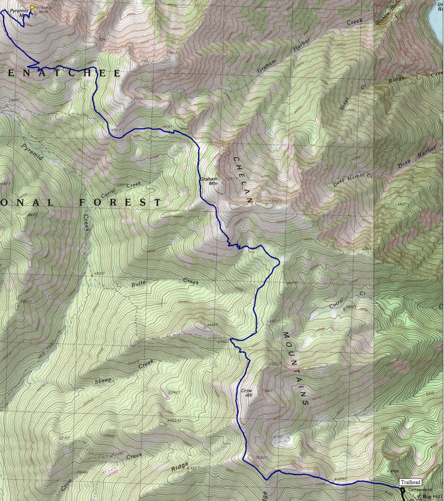
Pyramid Mountain is located on the west side of Lake Chelan and is one of the highest in the area. With an elevation over 8,200 feet it makes the list of Washington's 100 highest peaks. Yet, with a trail to the top this is one of the easiest. Because of its location high above Lake Chelan, the views are unique and extremely scenic. The summit is often done as a day trip but it is 18 miles round trip with 3,000 feet of gain and another 1,200 upon return. A tough day but I did it carrying my son so no complaining.
There are 2 ways to Shady Pass and the final road (#113) which leads to the trailhead.
From Chelan, drive the west shore Highway 97A north which becomes Hwy 971 and then follow Lakeshore Drive to Twenty-five Mile Creek State Park. Shortly beyond there the road becomes Shady Pass Road. Follow this mainline forest road many miles, up Grouse Mountain until Shady Pass where you will find Service Road 113 which is a very rough service road. Take that road to the very end where the Pyramid Trail starts.
From the Entiat Valley
In the town of Entiat on U.S. 97 north of Wenatchee, make a left on the Entiat River Road and take it 28 miles. Turn right on Forest Road 5900 and take it up 8.5 up to the top of ridge to Shady Pass. There you will find Service Road 113 which is a very rough service road. Take that road to the very end where the Pyramid Trail starts.
Pyramid Mountain
Distance: 9 miles one way
Elevation Gain: 4,200 feet
Summit Elevation: 8,243 feet
Access: Good Gravel
WillhiteWeb.com

Access:
Route:
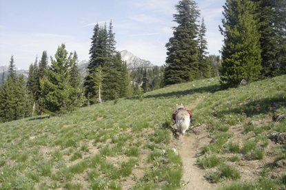
This is just a trail hike. Trail junctions are well marked. The trail head at 6,500 feet starts out with views and they stick around the entire time. To guarantee success, hike it in August or September when the trail is snow free and you can make good time.
Pyramid Mountain
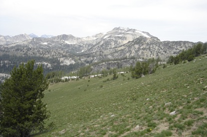
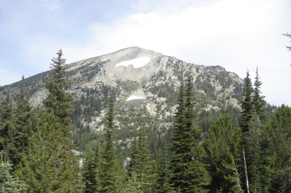
View of Pyramid from a mile or so on the trail
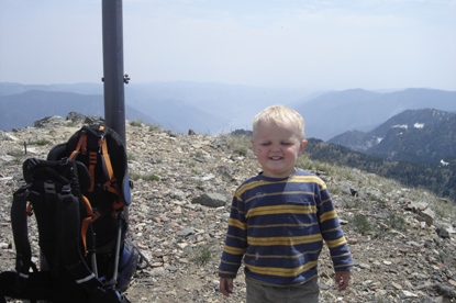
I carried this chunky boy 18 miles on a hot summer day
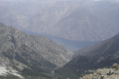
Lake Chelan from the summit
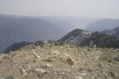
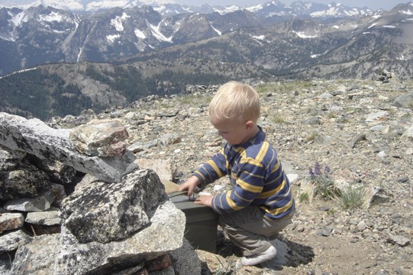
Summit Register
Cardinal Peak
Trail turns north and distant view of Pyramid comes out
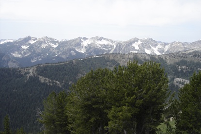
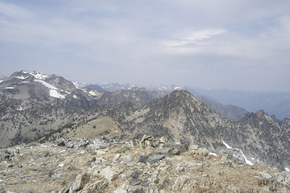
Mountains to the west
Getting close to Pyramid Mountain
Looking south at a smoke filled Lake Chelan valley
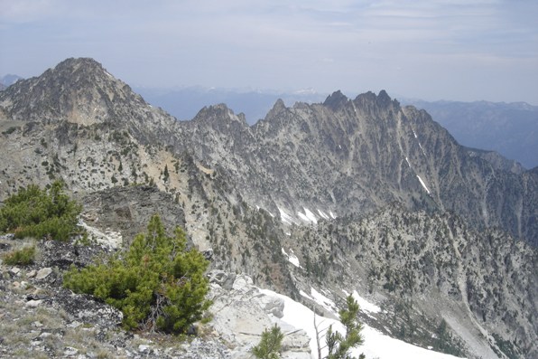
Some cliffs to the north of Pyramid Mountain
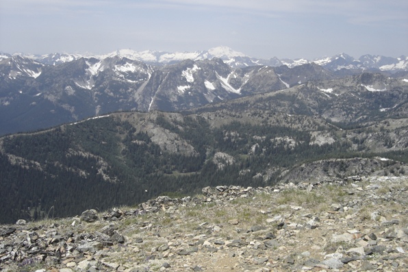
Far away Glacier Peak
Looking north from Pyramid Mountain
Lookout History:
In 1917, a cupola cabin built.
In 1930 a gabled L-4 cab was built, supervised by ranger Weeman.
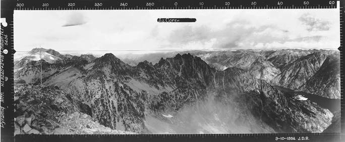
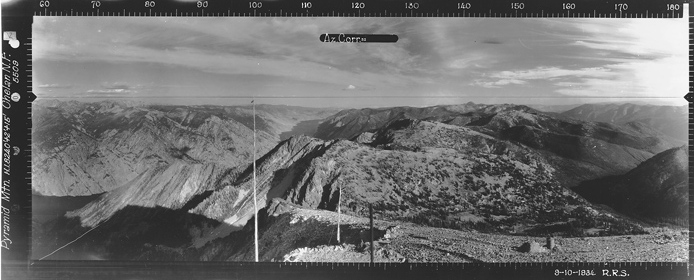
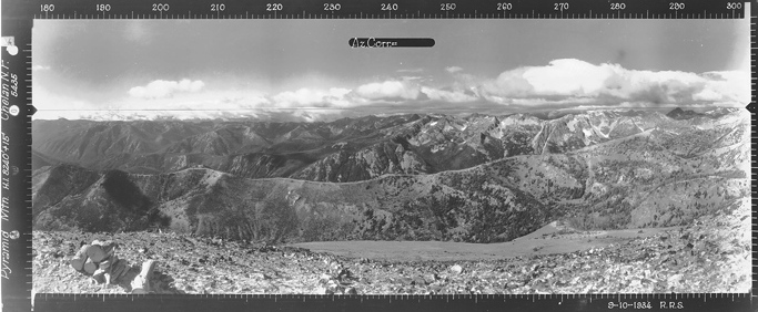
In 1934, panoramic images were taken.
In 1937, David Hale was the lookout.
In 1954 the cab was removed.
Pack trains from Big Hill Lookout were taken the 10 miles to this location.
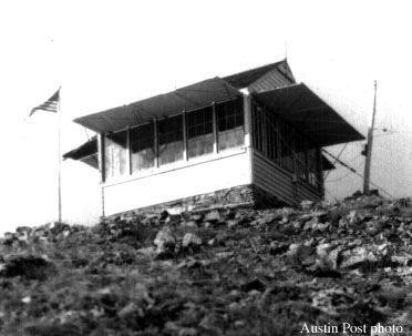
Pyramid Mountain Lookout 1936
Note: there is an image in the book Lookouts: Firewatchers of the Cascades and Olympics on page 152 of a man on the roof taking panoramic images. I believe this is an error and that picture is actually Klone Peak Lookout.
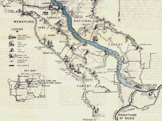
Historic Wenatchee National Forest Recreational Map
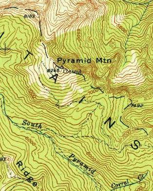
1949 map showing the lookout
Looking North in 1934
Looking Southeast in 1934
Looking Southwest in 1934
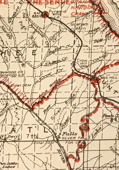
1938 Chelan National Forest Map
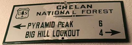
Old sign in the Kresek museum


