Mineral Butte
WillhiteWeb.com
Access:
Distance: 2 to 4 miles
Elevation Gain: 4,200 feet or less
Summit Elevation: 5,255 feet
Access: Paved
The Route:
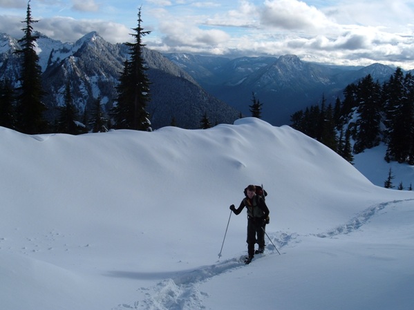
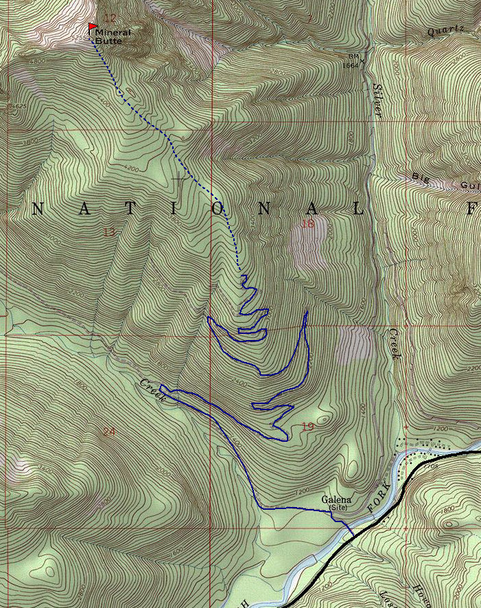
Depending on the snow level, start up the road wherever you can. The road does many switchbacks, cut if you can or just go the nice incline. Eventually the road will disappear as well as the clear cuts. Just keep climbing through old growth and natural openings, taking note on the topo and altimeter where you are at.
Take Highway 2 to Index. Go north on the Index-Galena road. At Galena, turn off and cross the Skykomish River. If the road is washed out north of Index, try coming in the Beckler Creek Road over Jack Pass. Even then, you many need to bike the road to reach the start if signs say to halt. The paved loop road has opened and closed numerous times over the last 20 years.
If your looking for one of those out of the way winter trips where the weather might not be too promising or just looking for something new, Mineral Butte might be what you want. Most of the long route up is lacking excitement but a few views and the forest is nice once you reach the loggers highpoint. The summit does have excellent views though and you'll have summated a mountain in a area where few winter hikers explore.
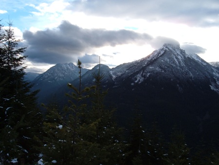
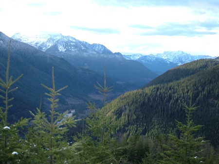
North up Silver Creek to the peaks of the Monte Cristo area
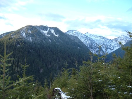
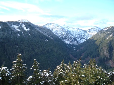
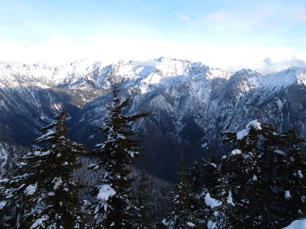
Other views
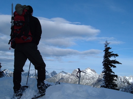
Standing on the summit
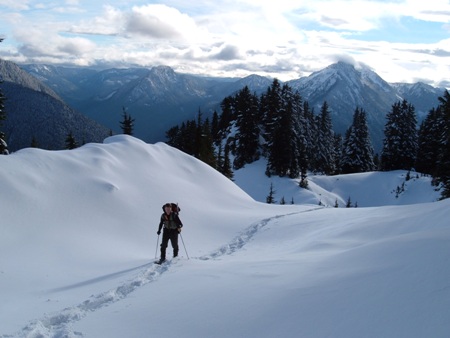
Getting high with Bear Mountain in distance
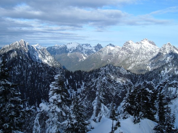
Ridges south of Mineral Butte
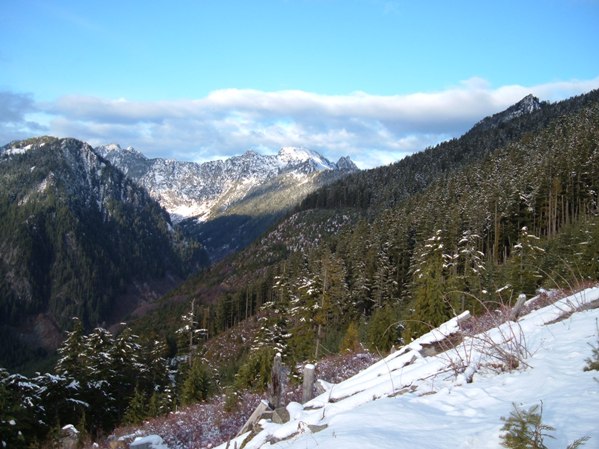
Looking to Ragged Ridge
Looking to Ragged Ridge
North Fork Skykomish Valley
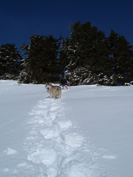
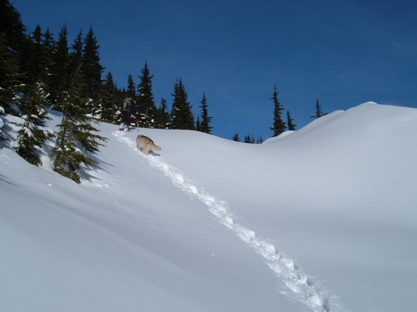
Snowshoe and dog tracks
