WillhiteWeb.com
One of the most popular hikes along the I-90 corridor is the trail up McClellan Butte. With a low elevation start, it melts out fairly quickly. Unfortunately, the trail crosses a few avalanche prone slopes and has caught many unknowing hikers over the years. The summit block has a bit of danger as well, but the views are about the same from just below. Go in summer or fall and you will have a great hike.
McClellan Butte
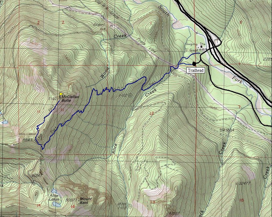
Distance: 4.6 miles one-way
Elevation Gain: 3,300 feet
Summit Elevation: 5,162 feet
Access: Good road to trailhead
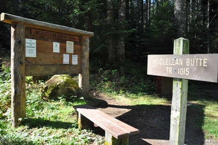
From North Bend, go east on I-90 to Exit 42 the Tinkham Exit. Go south on FR 55 for 0.3 miles to the trailhead access road on the right. Drive up it and park in the parking area trailhead for McClellan Butte.
Access:
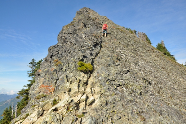
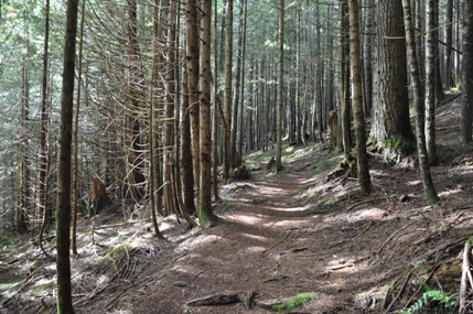
The trail is easy to follow and signed at several trail junctions. After a half mile the trail hits an old road but a sign says to turn right. After about 0.4 miles of this old road, you hit the John Wayne Trail. Again, a sign will show you where to turn off. The route passes through some nice forests before wrapping around to the west side where nice rocky openings are found. The final rocky summit is easy scrambling but there is serious exposure. Enough that a slip could be death.
Route:
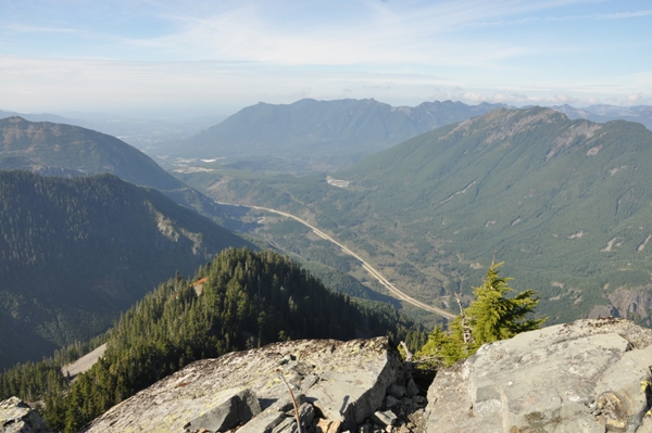
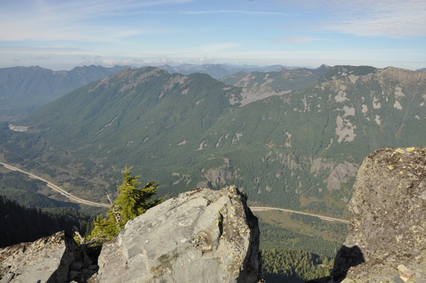
I-90 and Mt. Si in the center
Northwest to Mailbox Peak
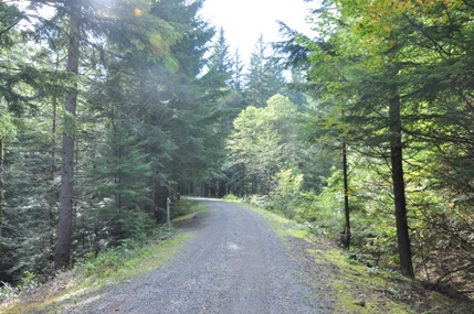
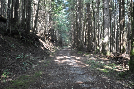
Trail follows this old road for a short while
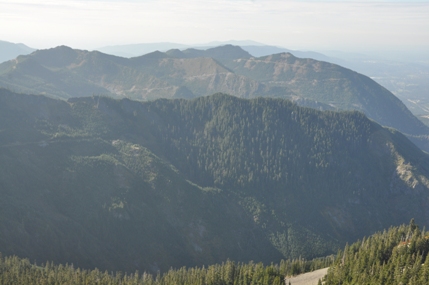
Webb Mountain, Mount Defiance, Bandara Mountain
Mount Kent on right, Duke of Kent on left
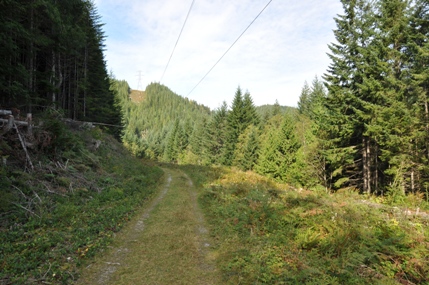
Trail following old road as it goes under the powerlines
Trail crossing the John Wayne Trail
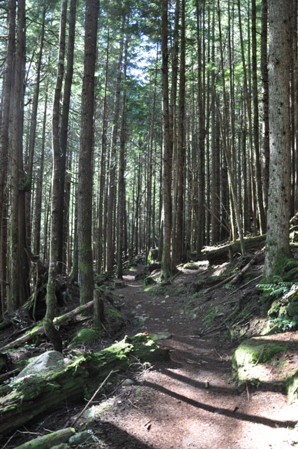
Trail before it reaches the old-growth
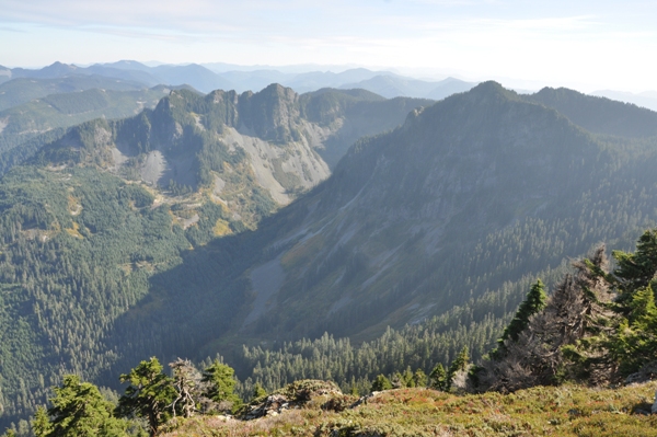
Mount Washington, Greenway and Change Peak area
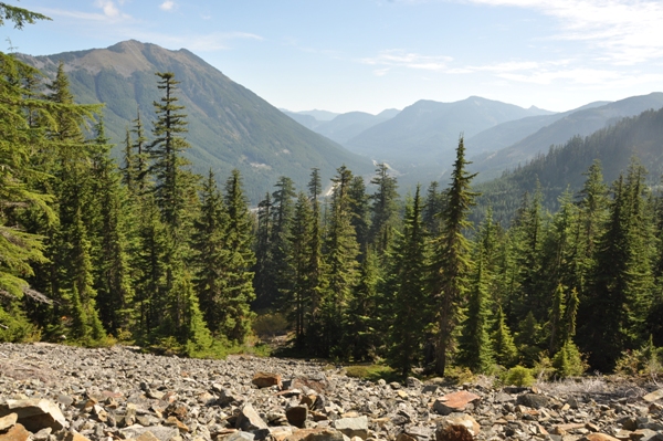
First views on the trail
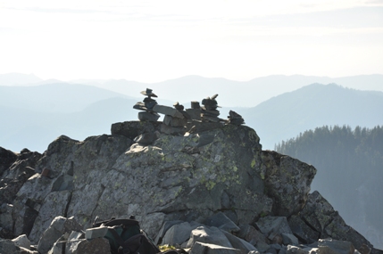
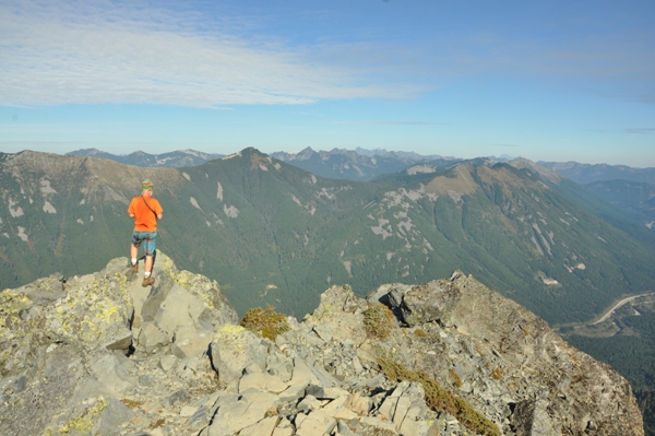
Summit scramble
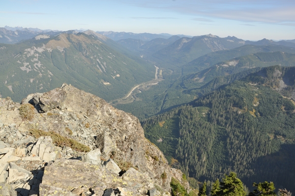
Looking east up the I-90 corridor
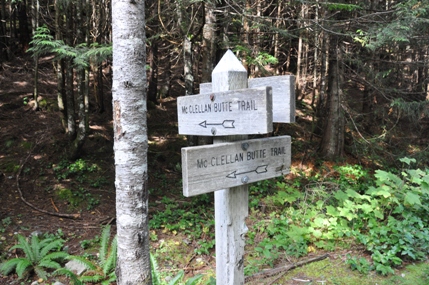
Follow the signs
Very little information. Kresek reports a cabin in the 1930s was used. There is no room at the summit for a cabin so a firefinder was likely. There are also remains of a cabin in meadows below the rocky summit block. A 1973 USGS survey party described reaching the summit area by following a path "northerly along the northwest side of the ridge to a small lake....continue along the path northeasterly until reaching the ruins of an old cabin at the foot of a large butte...follow the path up steep butte southeast and then north along the top of the ridge to the highest point". We will have to wait for more information, I have not even found this one on any maps.
Lookout History:


