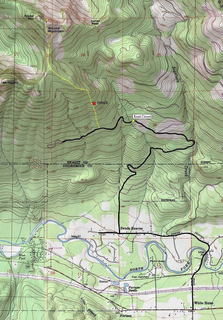
Take Exit 208 off I-5, this is SR-530. Head east toward Darrington for 25 miles. Five miles before Darrington in the tiny town of White Horse is a road to the left called Swede Heaven Road (across from a gas station). Follow Swede Heaven Road as it drops down and crosses the river. From this point, the road veers left and you need to go 1.3 miles looking for a right turn onto 371st street. This road passes some homes but soon becomes Forest Road 1890. Take it 2.9 miles from the pavement on Swede Haven Road. A few spur roads cut left but follow the main path shown on the map. At 2.9 miles is a junction, go left (straight) until the road is blocked at a stream crossing.

Round Mountain
Distance: 2 miles
Elevation Gain: 3,400 feet
Summit Elevation: 5,320 feet
Access rating: Level 2
www.WillhiteWeb.com: Your online resource for hiking, climbing and travel

Access:
Route:
Round Mountain is the 8th most prominent mountain in Washington. It is the highest point in the mass of mountains surrounded by the valleys of the Stillaguamish River, Sauk River and the Skagit River. This area is often referred to as "Loggers Island" since that's pretty much what use this area sees. This rise above the surrounding valleys even puts Round Mountain on the list of 100 most prominent peaks in the US, at #69.
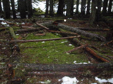
I hiked the road section with a local bow hunter who has lived at the base of the peak his whole life. He suggested the route shown as brush free and he was correct. He even told me to check out a "unfinished cabin" he and friends built when they were teens.
Walk up the abandoned road to the location shown on the map. There is an older road veering left at this location as well. Once inside the forest, you'll find easy open forest walking. At times, the route is quite a steep forest climb. Eventually you will reach a bench with a small talus field on the west side. This is where I was told to look for the "unfinished cabin". Above the bench, the hill is steep up to the ridgeline. Working west on the ridge, the terrain gets easier until you reach a rocky knob in the forest with possible views. Traverse north dropping a bit off the knob. After a short traverse, start climbing the steep south ridge. This could be class 3 without snow. After a few hundred feet, it's obvious a large rock face and steep ridge might be to nuts to continue. Traverse to the right under the rocky faces (talus in summer) to the easier terrain on the east side. Regain the ridge a few hundred feet below the summit and walk to the top. Although the only views are at the very end of the trip, they are said to be amazing. Recommend snowshoes, crampons and ice ace when snow exists.

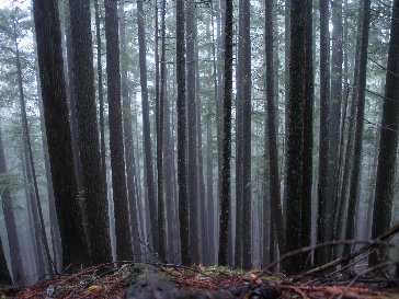
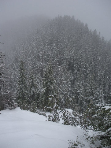
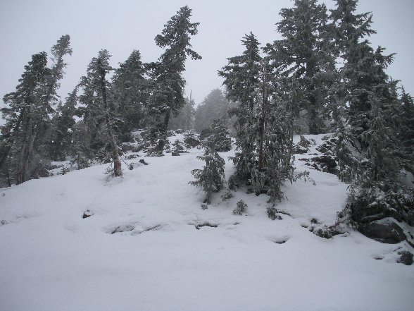
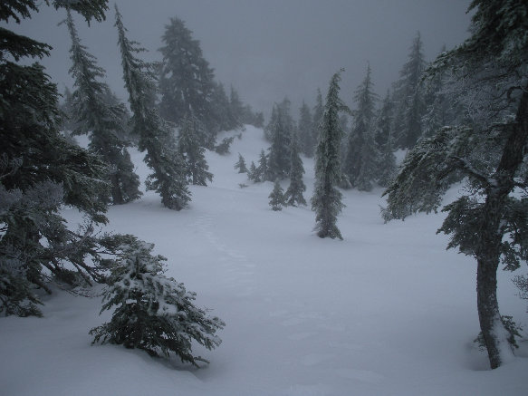
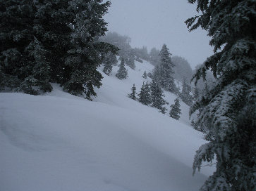
Hiking up the forested hillside
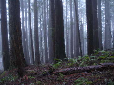
The haunted forest
This is the "cabin" they gave up pretty quick
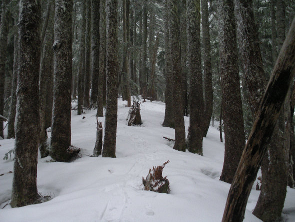
On the ridge at 4,200 feet
Looking back at the drop from the rocky timbered knob
Harder than it looks, probably class 3 in summer, climbing at 4,500 feet
At 4,900 feet looking down route
At 5,000+ feet looking up the ridge
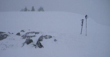
On the summit
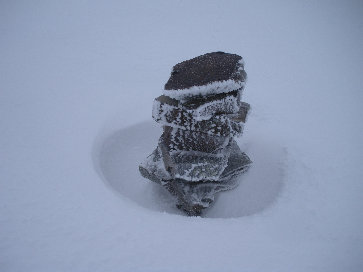
Frozen summit cairn
<


