WillhiteWeb.com
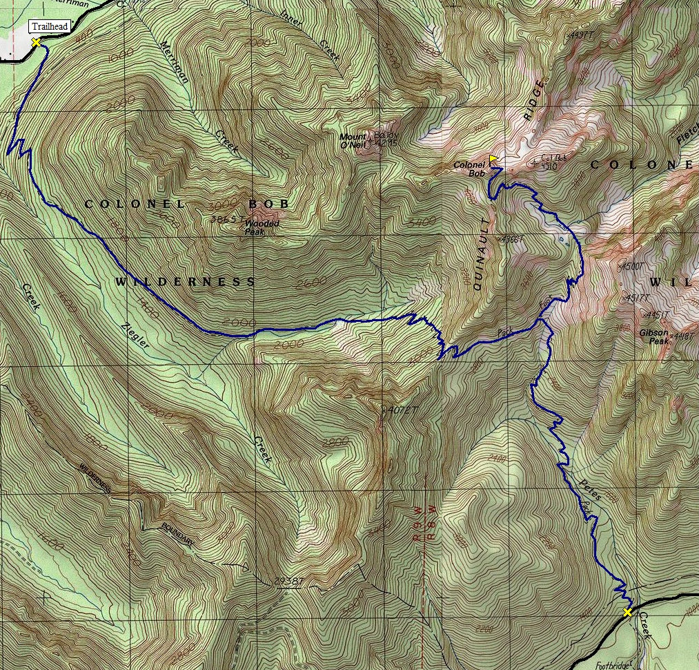
Colonel Bob has its own wilderness area and a hiking trail to the summit. The hike is a bit of a drive for most people so the Bob does not get a whole bunch of visitors. There is a network of trails in the area. Two access points will get you on the trail to the summit. The lower and longer one is accessed off the paved road near Lake Quinault so it has more visitors. The trail is all rain forest so no distant views until you reach the summit where there is huge views. It was named after Col. Robert G. Ingersoll, a lawyer, writer, and orator during the 1860s. On July 23, 1893, some admirers climbed the peak and decided to get the name on the mountain. By 1932, the Board of Geographic Names had made the name official.
Colonel Bob
Distance: 7 miles
Elevation Gain: 4,200 feet
Summit Elevation: 4,492 feet
Access: Paved
Take Highway 101 to the intersection with the South Shore Lake Quinault Road. Follow it for approximately 6 miles to a sign saying "Colonel Bob Trail" (No. 851).
Access
Hike up the trail through thick forest. The Colonel Bob trail does go over a ridge and descend a bit before reaching Pete's Creek trail. I believe this is where the shelter was at but I'm not remembering exactly. Then the trail climbs to some wooded meadows that are nice before the final climb to the summit.
Route
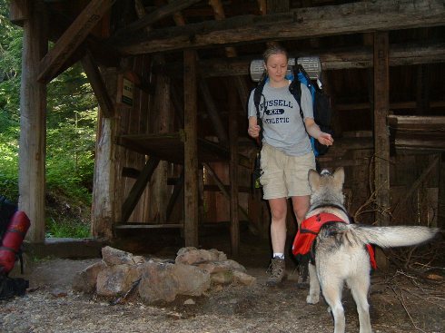
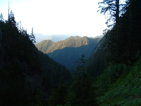
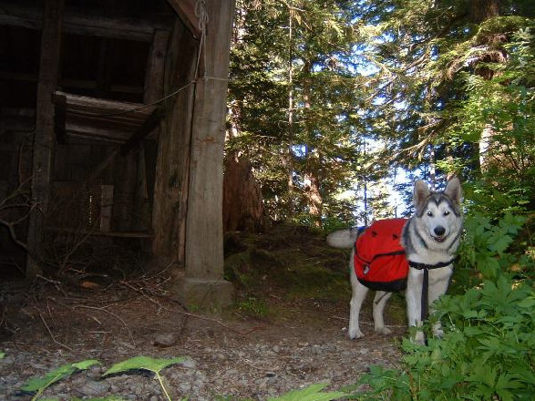
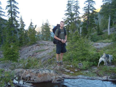
Dozer at the shelter
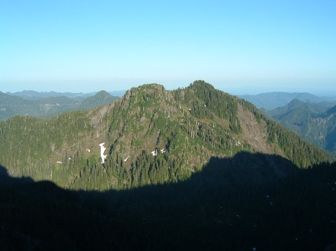
Looking down Petes Creek
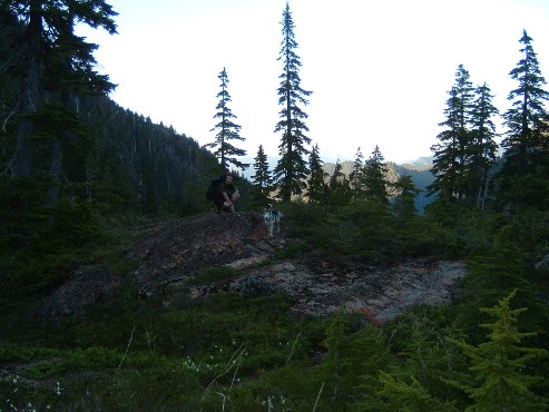
Around 3500 feet
Packing up from a night in the shelter
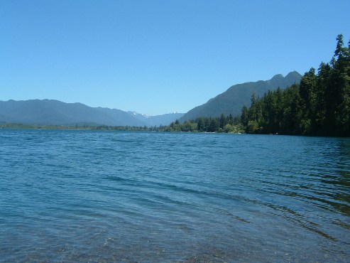
Lake Quinault near the trailhead
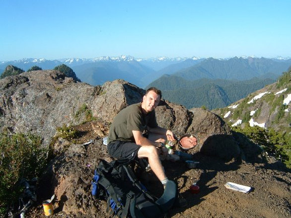
Cooking on the summit
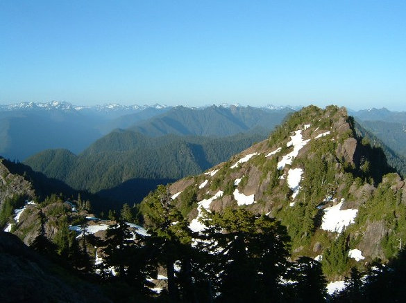
On the trail
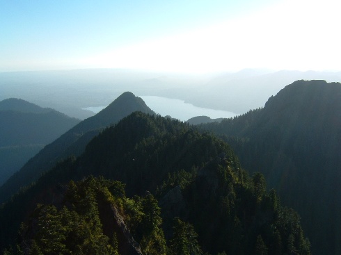
View to Lake Quinault
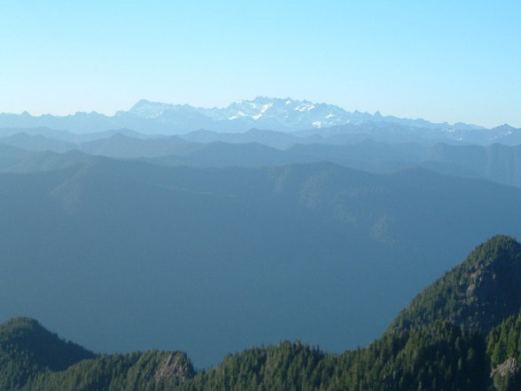
Mount Olympus
Colonel Bob was built sometime on or before 1931. It was a L-4 gable roof cab on the ground. It was accessible by a seven-and-a-half-mile trail.
In 1931, the lookout was being stationed by Mr. and Mrs. F.B. Hall, a couple married the previous spring. Mr. Hall was originally from Iowa while Mrs. Hall was from North Dakota.
In 1933, a news article highlighted another young married couple in the lookout. A week after their marriage, Gile Mead, and former Miss Sadie McQuarrie of Hoquiam were spending a honeymoon in their 14 by 14-foot glass house.
In 1937 on July 23, panoramic images were taken from the lookout the roof of the lookout.
In 1946, the lookout was abandoned.
In 1966, the lookout house was partially destroyed by the weather and the following year in 1967 it was burned as it was considered a safety hazard.
Lookout History
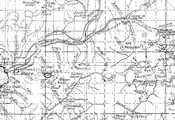
1933 Olympic National Forest Map
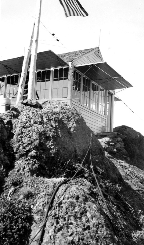
1943
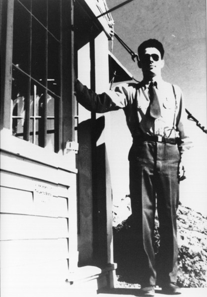
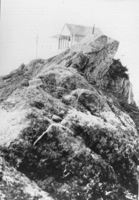
Lookout: Harold Deery
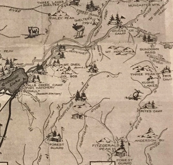
1935 Quinault Recreation Map
1932

North - July 23, 1937

Southwest - July 23, 1937

Southeast - July 23, 1937
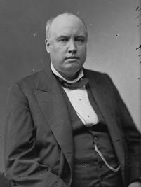
Col. Robert (Bob) G. Ingersoll


