Burley Mountain
WillhiteWeb.com
Distance: Drive-up or up to 1 mile
Summit Elevation: 5,304 feet
Elevation Gain: 0 to 400 feet
Access: Dirt & Gravel, High Clearance needed last mile
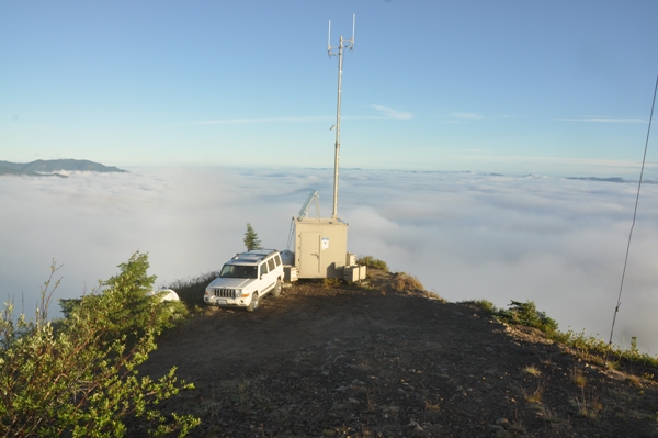
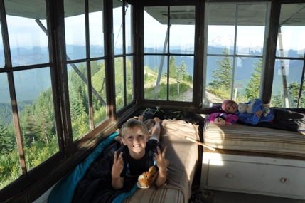
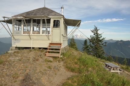
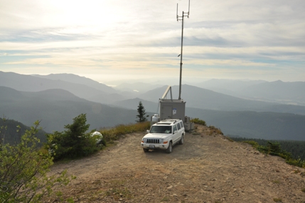
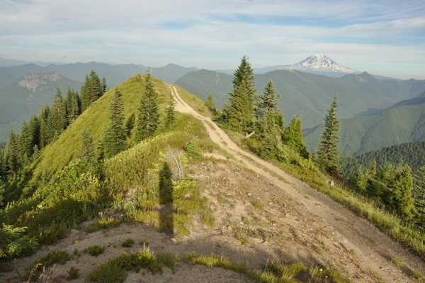
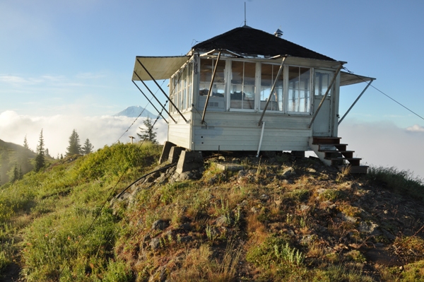
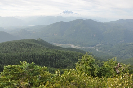
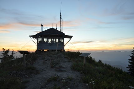
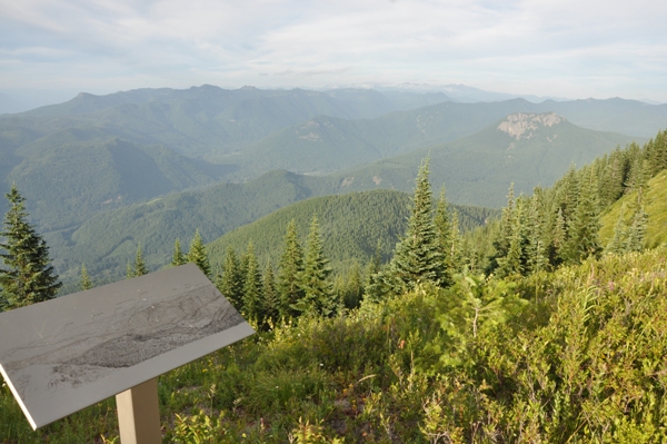
You can count on one hand the number of summits over 5,000 feet that can be driven up in Western Washington. One such high point is Burley Mountain, situated between Mt. Rainier, Mt. St. Helens, and Mt. Adams. On the summit is a Forest Service lookout cabin that is usually open in summer, with a couple of single beds, a sink without water, and a couple of chairs to sit on. Small signs above the windows tell you what mountains you are viewing. Outside the lookout is a picnic table and a cinder-block vault toilet. A night inside is fun for kids and adults. In winter, the lookout is rented to skiers and snowshoers. A summer hiking trail from the valley bottom exists but I haven't done it. According to E.J. Fenby, a Rainier National Forest official in the early 1900s, the name Burley is a corruption of the French word brule, meaning burnt, which was the condition of the terrain surrounding the mountain at that time.
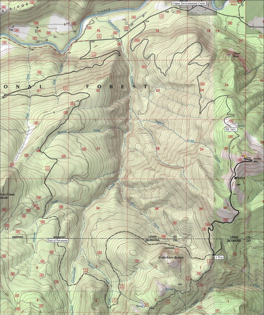
From Randle, drive 1 mile south on Forest Road 25 and then turn left onto Forest Road 23. Continue on FR 23 to FR 28 and go right, cross the Cispus River, turn right onto FR 76, and continue past the Cispus Environmental Center to FR 77 on the left. At 7.4 miles, FR77 pavement ends. Continue another 6 miles or so to the top of a ridge and a 4 way intersection. There find a confusing sign pointing 1 mile to Burley Mountain. But, the immediate left is the road you want. Follow it the one mile to the junction with a Jeep Road (another option up). There is still another mile from this point and it starts to get rough. Park if you need to, or continue to the final hill where another good spot to park is located. The turn-round at the summit is narrow and half of it is on the edge of a 300 foot cliff.
Access:
Just drive up if you have 4WD high-clearance. If you don't, the last mile or so traverses along a hillside that might have large water-bars that make regular cars bottom out. Below the final hill is some parking that most cars should be able to reach. The walk is short and scenic from that point. If you park before this point, the length still isn't too long.
Route:
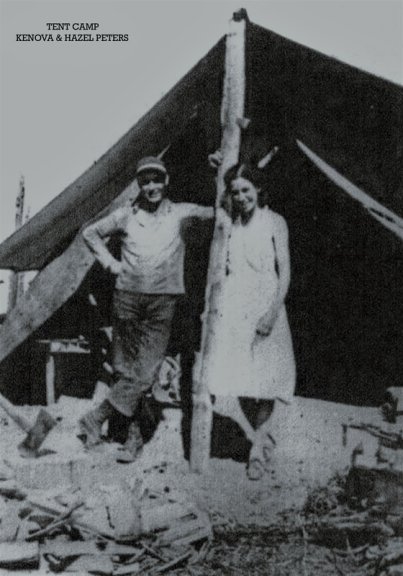
In 1930, Burley was a tent camp. The lookout for the summer was K.I. Peters, part of the fire protection force of the Rainier National Forest. He had just attended a four-day training school at the Cispus road camp.
In 1931, K.I. Peters was again the lookout after attending a 3 day advanced training camp in Packwood going over fire detection, report and suppression methods.
In 1932, the first structure was built by William Mackay of the Randle Ranger Station.
In 1934, panoramic images were taken from the roof at 18 feet above ground. A road accessed the lookout at that time.
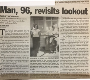
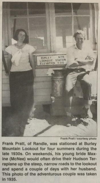
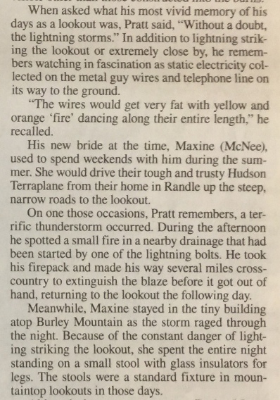
In the late 1930s and early 1940s, the lookout was Frank Pratt. His new bride Maxine McNee used to spend weekends with him during the summer. Frank revisited the lookout when he was 96 and it was in the Randle newspaper, where he lived since he was 18.
In 1964, due to scheduled air patrols, Burley was one of just 6 stations to be used of the 37 regular and emergency lookout stations manned in previous years. The primary use was for communications coverage for the forest.
In 1967 and 1968, the lookout was Darleen (or Charleen) Kemper, who stated she likes to get away from it all in the summer. She is a teacher and she was the only female lookout in the Gifford Pinchot National Forest that summer.
In 1972, the lookout was a 23-year-old girl, Jan Grose, from Mossyrock, the only tower open in the Randle Ranger District that year. Forest Service officials at Randle reported they expect to have a more sophisticated communications system in operation in their district within the next few years. This will also make the Burley Mountain lookout unnecessary, the officials said.
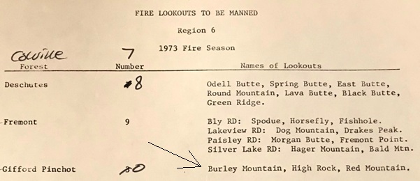
In 1973 it was one of three remaining lookouts in use in the Gifford Pinchot.
In 1974 it was abandoned.
In 1978 the lookout was badly vandalized. The lookout is maintained by volunteers.
In 1987 there is record of it being manned during the summer. Other summers may have been as well according to memories of locals.
History:
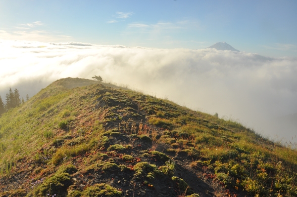
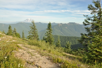
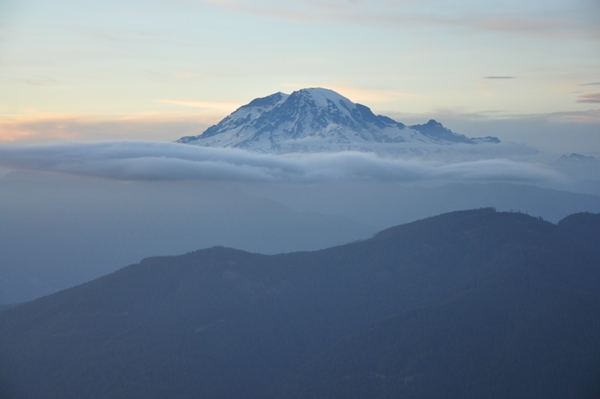
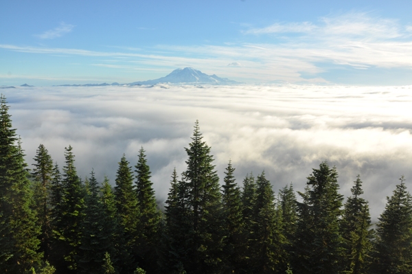
Mount Rainier above the clouds
Mount Adams above the clouds
Mount Rainier with approaching weather
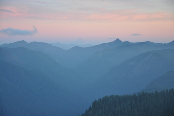
Mount Hood
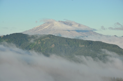
Mount St. Helens
Cispus Valley and Mount Rainer
Mount Adams
Goat Rocks
Final bit of road to the lookout
Parking area at the summit
Two beds....to kids
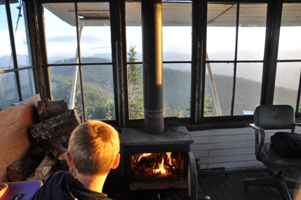
A lookout and a wood stove (now removed)
Above the clouds




1940 Columbia National Forest
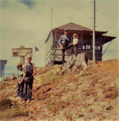
Joanne Bridges photo 1971
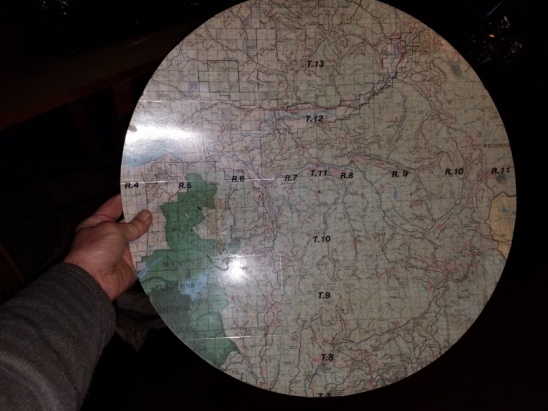
Firefinder map is still around
1973 fire season document shows Burley to be manned
Joanne Bridges, from her book Ragcamps to Lookouts
View Southwest, July 12, 1934
Tent camp prior to the lookout cab
Some of the article below:
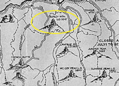
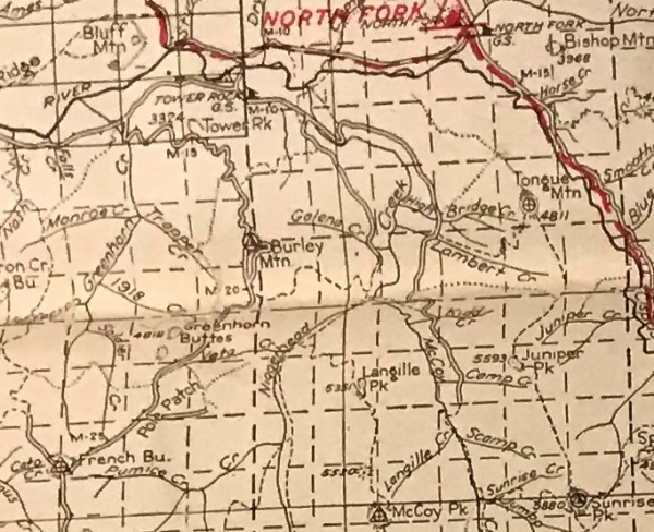
1937 Recreation Map
View North, July 12, 1934
View Southeast, July 12, 1934
At Kresek museum


