Distance: Up to 6 miles one way
Elevation Gain: Variable
Access: 4WD best, longer hiking for 2WD
Juniper Dunes Wilderness Area
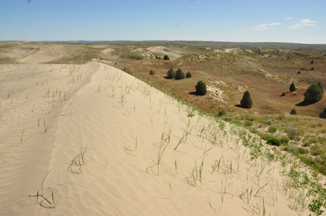
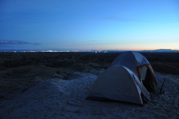
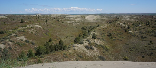
For one of Washington's most unique wilderness experiences, the Juniper Dunes is a mini-adventure worth a weekend. Set aside in 1984, this 7000 acre protected area has some the most northerly reach of the western juniper. Most of the sand dunes are now vegetated but at the north end of the wilderness, many are still exposed and moving. This wilderness has no trails except for some game tracks and trail tread in key ridges and gaps. There is no water, you must bring it all in yourself. No fires are allowed, and if staying overnight, a permit is required. The nights are cold and you will be serenaded by the sounds of owls and coyotes. In the distance are the lights of Pasco and Richland. Bring a GPS and or compass, much of the area looks so similar. Yet, the entire wilderness is encircled by a fence, one of just two in the United States.
Directions to south trailhead
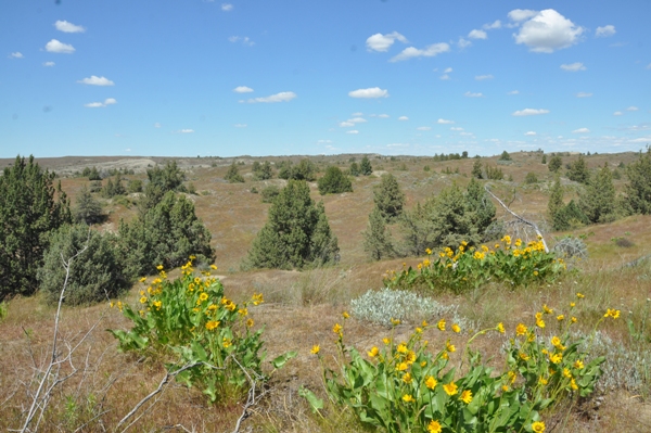
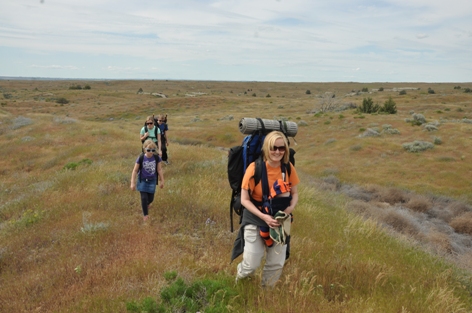
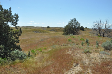
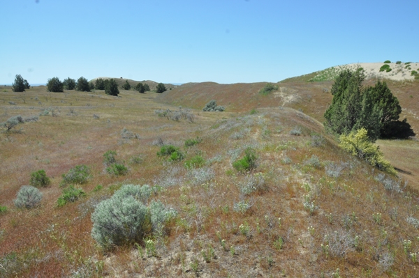
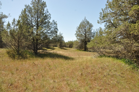
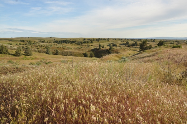
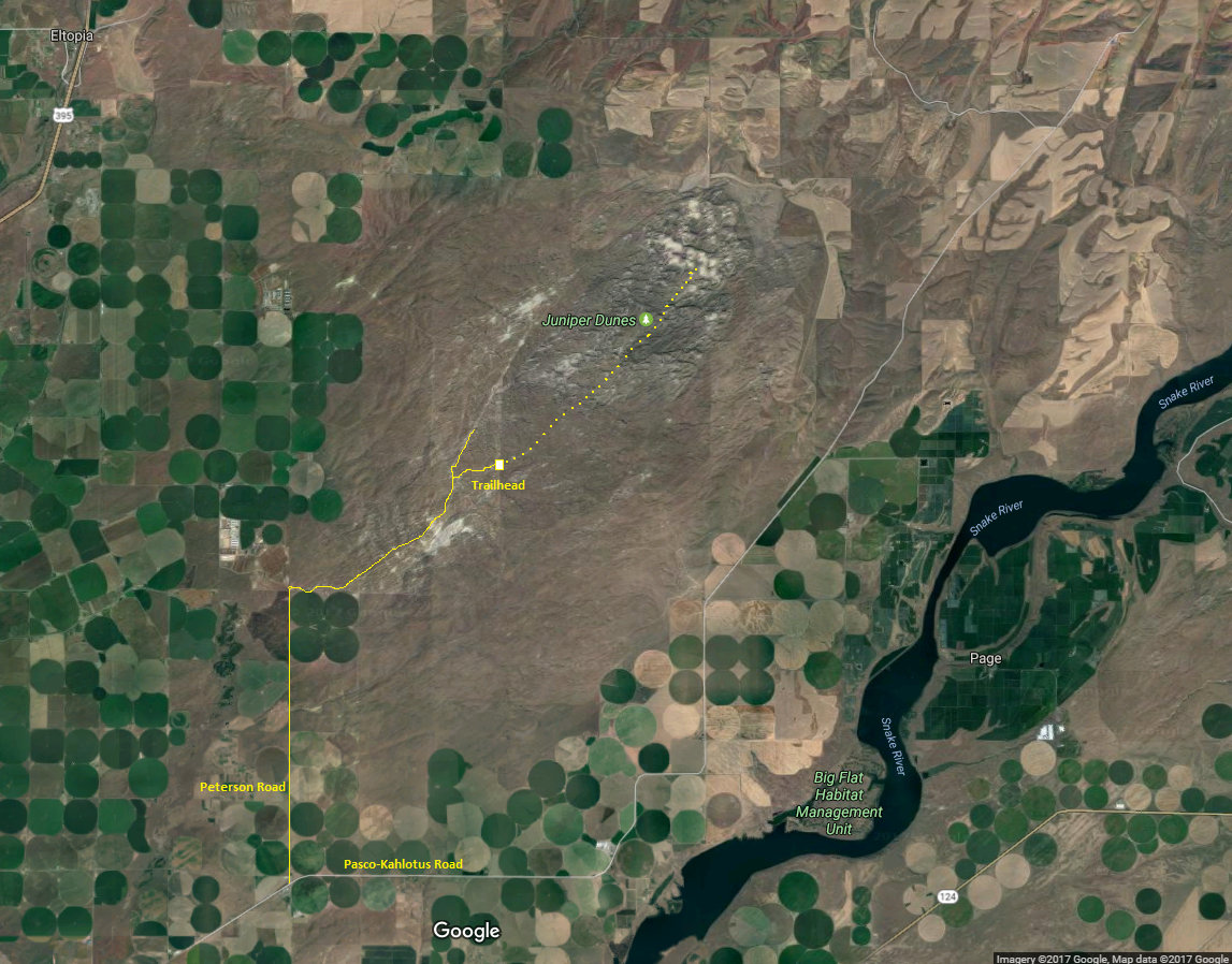
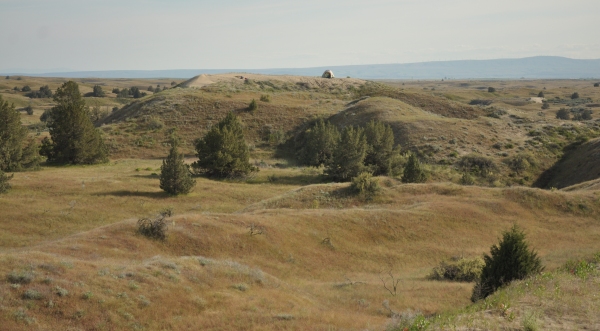
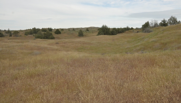
It is around 6 miles to the Dunes from the south access. Going this route allows you to experience the full wilderness area. After passing through the fence your best option is to follow a general bearing and work with the terrain. The first third is mostly grassland, then walk through the more dense juniper forest to arrive at the dune area.
Route
Bring a shovel for the car incase you get stuck. Do not do the full access unless you have 4WD and High Clearance. From Highway 12 near Pasco, take the Kahlotus exit and drive the Pasco-Kahlotus highway 5.8 miles to Peterson Road. This turn is likely unmarked. As you start down the gravel Peterson Road, you will see a large No Trespass sign. Ignore and continue on. Follow Peterson Road for several miles which enters BLM land. Before the road starts getting sandy and going uphill, there is a large parking area. Continue on, as the road becomes very bumpy. The key is to watch for overhead powerlines. You will cross under once, then again awhile later. At this second crossing, you need to turn right before crossing under the powerlines. The road to the right is very narrow and small (similar to 50 others in the area). As you are about to cross under the second powerlines, the road is dropping downhill. The unsigned turn is near the top of the hill. If you reach the bottom of the hill, you will see underground pipeline markers and you have gone too far and could easily get stuck in very sandy terrain. Follow the narrow trailhead road a half-mile or so to the trailhead sign and fenceline. Depending on conditions, this last road has a few sandy sections.
Washington Hiking
Free Permit
Although there is a trailhead at the north end, the property owner does not allow overnight parking and hiking is only allowed March, April and May. The main advantage of this access is that the dunes are very close to the access. The disadvantage is that you miss most of the wilderness experience, only seeing the lower dune area of the wilderness.
North Trailhead
Google: juniper dunes wilderness permit,, print it, fill it out and mail it prior to going.
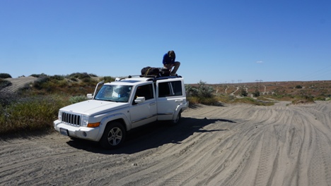

Just before turn to right on narrow track (parked a 2WD truck here)
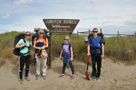
Trailhead sign
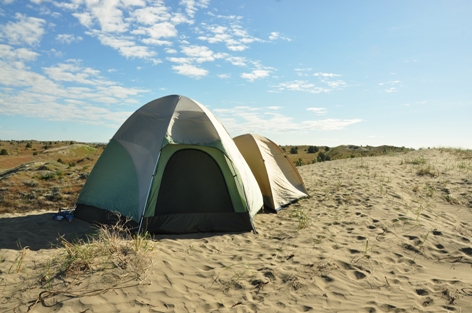
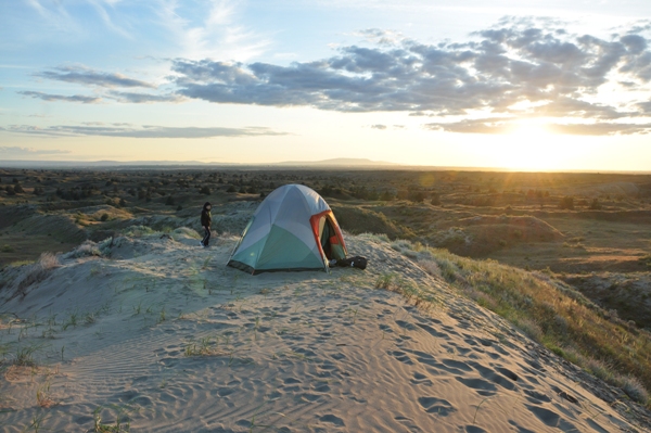
Camp on a high sand dune
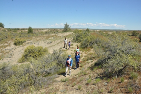
Camping at around 2.5 miles
Sunset
Late evening and city lights
South region of Juniper Dunes Wilderness
In the Juniper forest
Nearing the exposed sand dunes
We camped at the highest point in the center so we could get cell service (view from south)
Camp from the north
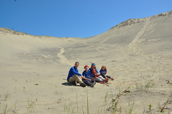
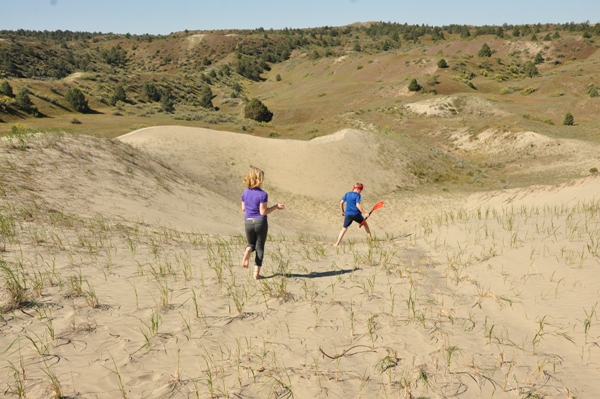
The family in the sand
Looking down at the sand dunes from the higher ridge to the south
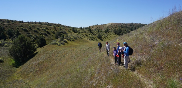
Hiking to the dunes from camp, another 2.5 miles


