Lopez Hill Preserve
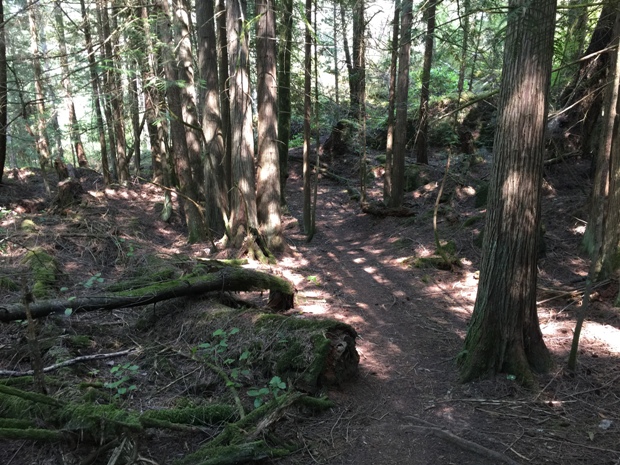
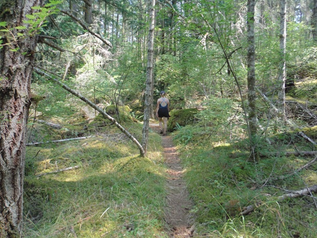
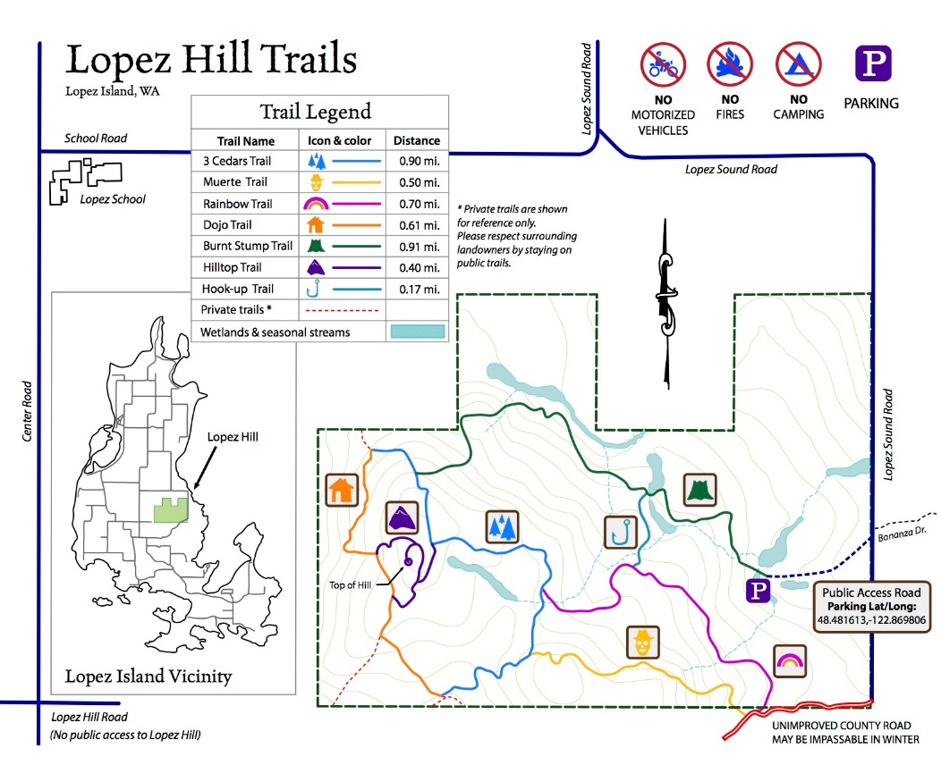
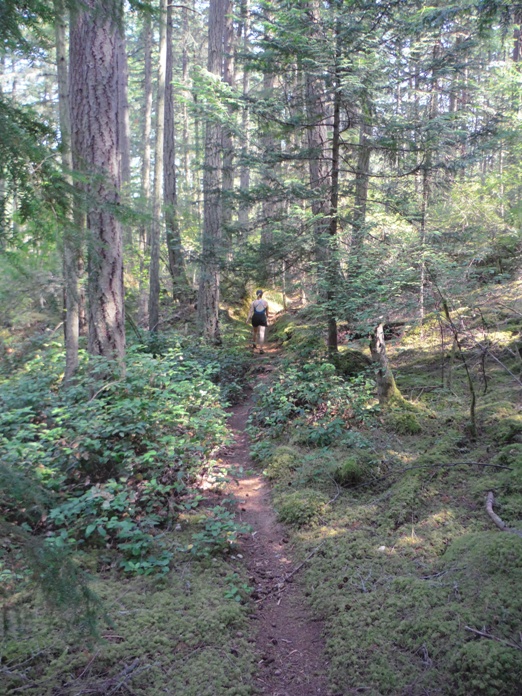
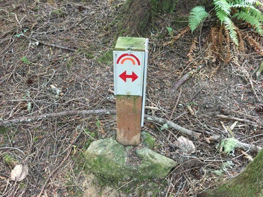
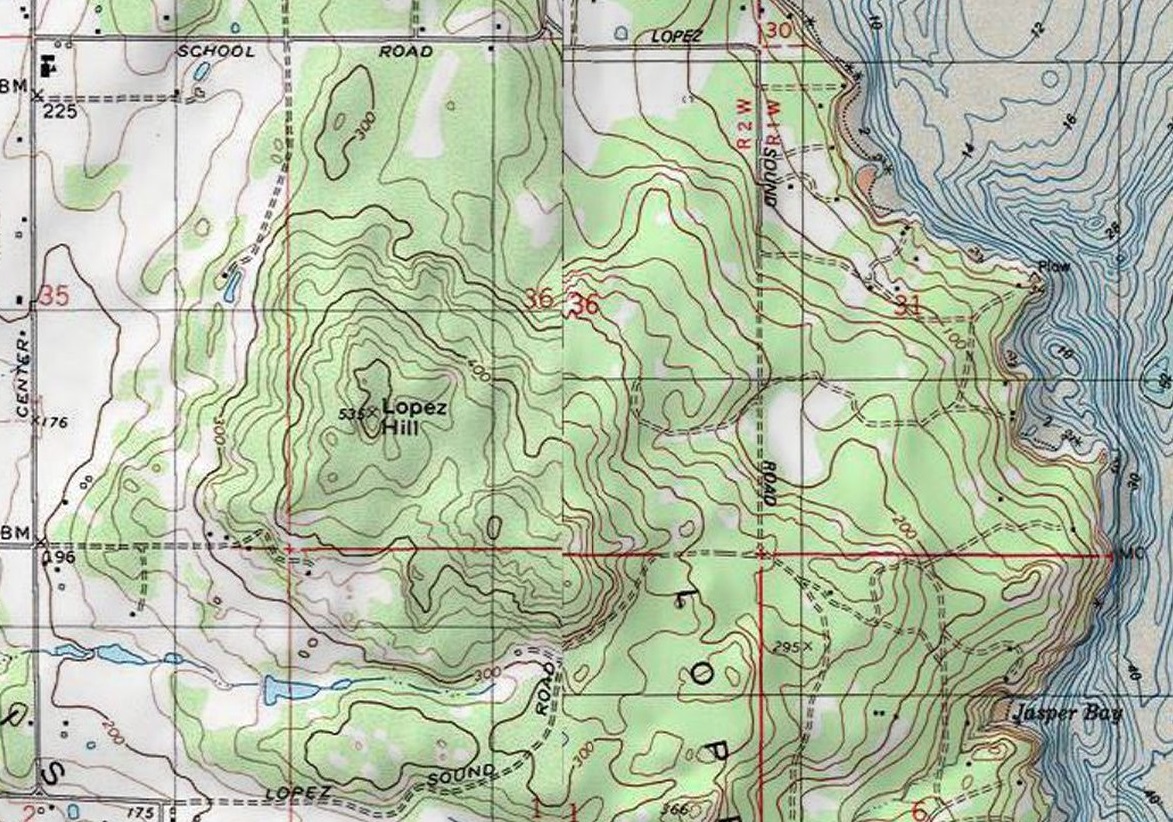
Lopez Hill is a 400 acre property full of hiking and biking trails. Previously owned by the State DNR, in 2018 it was purchased and now is the ownership of San Juan County to remain as a park. The highpoint of the park and namesake is Lopez Hill, the highest point on Lopez Island. Unfortunately, the views from the summit are now covered by growing trees. Around 4 miles of trails take you through second growth forests, rocky knolls, canyons, wetlands and prairie land. Use the map on this page to navigate. The signs and symbols out on the trail when you get hiking will be completely worthless to you without a map.
Lopez Island
Elevation: 535 feet
12.5 miles round-trip
385 foot gain
Access: Any car or bike there
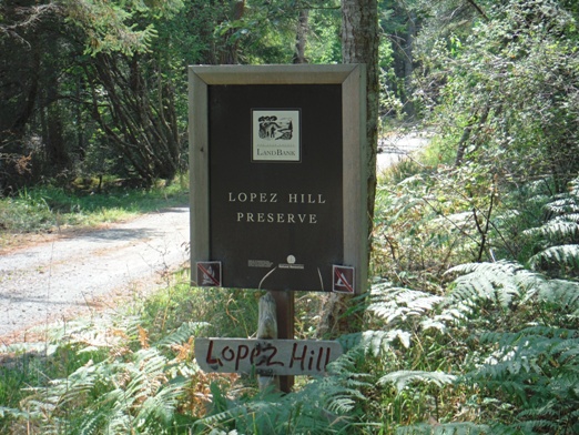
Turn off for Lopez Hill Preserve from Lopez Sound Road
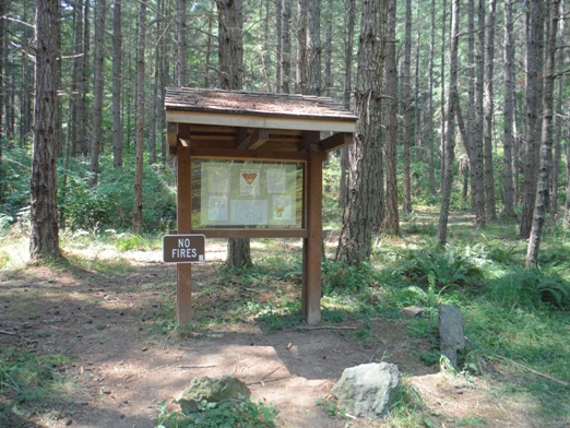
Trailhead
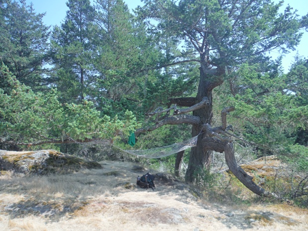
Summit hammock
Signs along the way....have a map
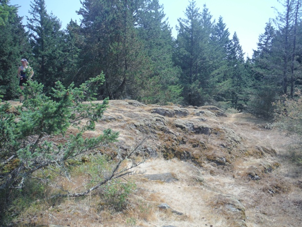
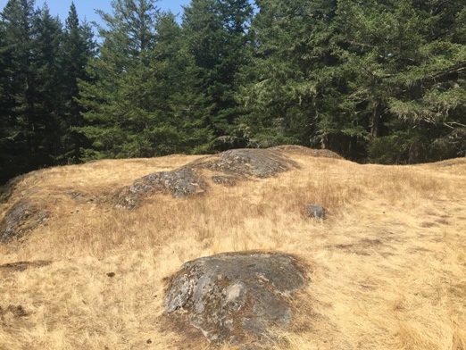
Balds on the summit
Summit area


