

Goat Rocks Wilderness - Pacific Crest Trail
www.WillhiteWeb.com: Your online resource for hiking, climbing and travel
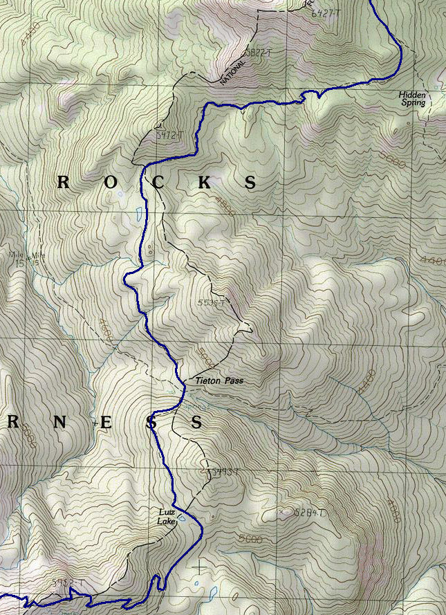
The PCT through the Goat Rocks Wilderness is a spectacular hike with lots of side trip possibilities for peakbagging. This is also the highest section of the PCT which is surprising given how far south you are. A friend, my brother and I did this section when we were quite young. We were dropped off at White Pass and picked up on the south side of Mt. Adams a week later. We had perfect weather through the Goat Rocks but around Mt. Adams it rained for 2 days straight. This would be the first trip I ever spend a full day inside a tent. Given the weather, we scrapped our hopes of climbing the South Spur of Mt. Adams and dropped to a low camp. Of course the next day was perfect.
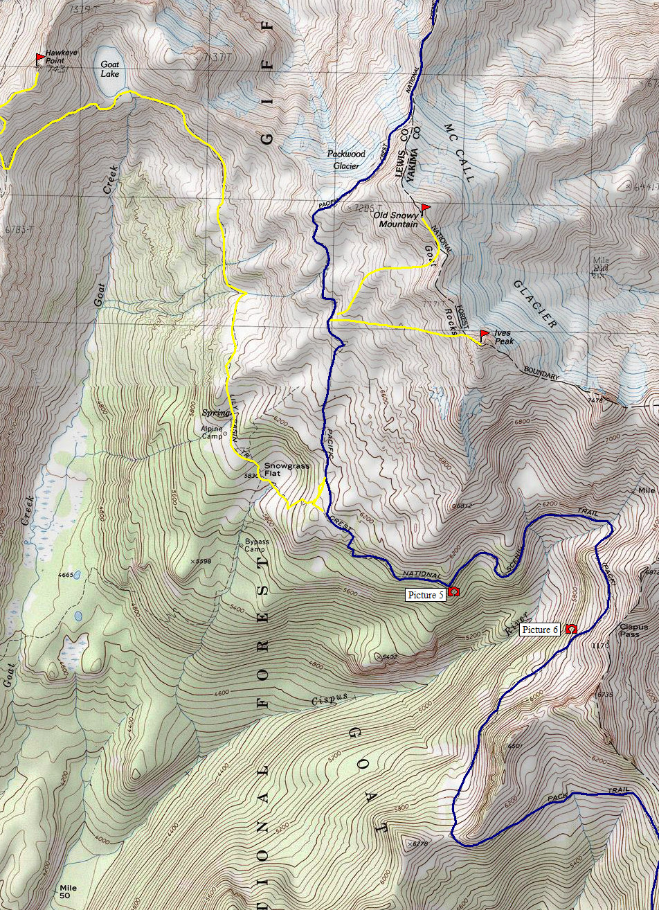
Trail continues on right
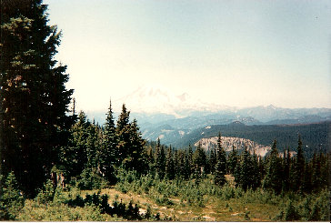
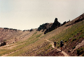
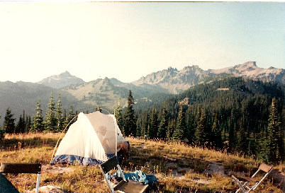
Picture 7, camped on Nannie Ride near Sheep Lake
Picture 5: Ives Peak
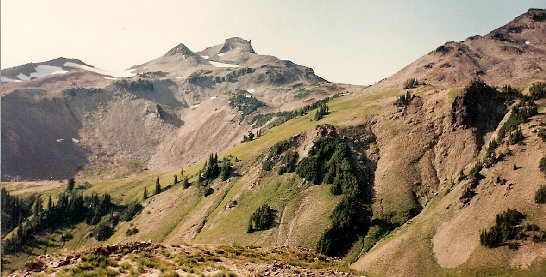
Picture 6: Ives Peak
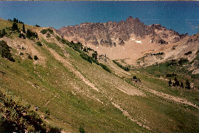
Picture 5: Cispus Basin
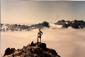
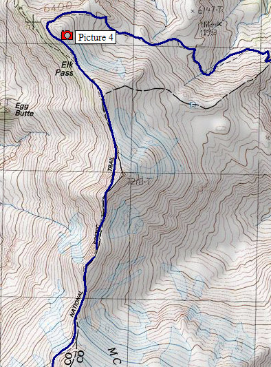
Picture 4: Near Elk Pass
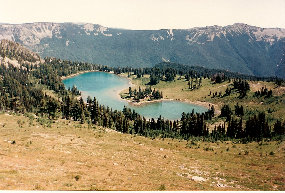
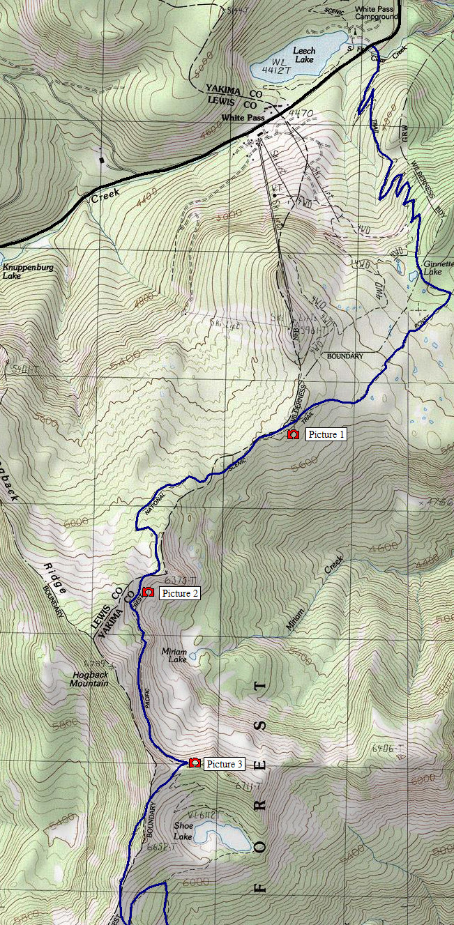
Picture 1: From the top of the ski area
Picture 2: Traversing under Hogsback Mtn.
Picture 3: Shoe Lake
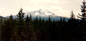
Pictures south of this map to Mt. Adams
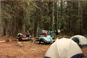
Morrison Creek Campground - drying out waiting to be picked up
Only view for miles on way to Adams slopes
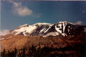
Adams from "Round The Mountain Trail"
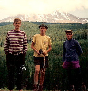
Just 3 kids on a trail, Kevin & Eric Willhite, Jason Mitchell
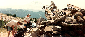
Break at old shelter above Snowgrass Flat


