WillhiteWeb.com
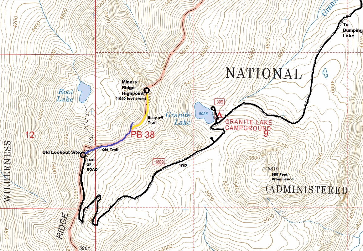
This highpoint is located just minutes from the old Miners Ridge Lookout above Bumping Lake. A bumpy, high-clearance vehicle road gets you to the lookout site. A minor trail drops down from the lookout site, crosses a saddle and climbs to the ridge highpoint and a minor rock scramble to the summit. Views are pretty good the entire way, no brush and the summit is a rocky exposed block.

Elevation: 6,080 feet
Prominence: 1,040 feet
Hiking Distance: Half mile
Elevation Gain: 400 feet
Access: Rough dirt road, high clearance needed

Access:
Drive the Bumping Lake Road from Highway 410. From end of pavement, go just over 2.5 miles to a major Y intersection signed Deep Creek. Take a right and go around a half mile to another Y. Now go left uphill on a deteriorated road that is quite rocky (Granite Lake, Road #2009). Vehicles without high clearance will only get so far before issues. Follow this last road 3.5 miles to the Granite Lake Campground, then another 2ish miles to the summit. The final 2 miles are better then the 3 before it. The rockiest part of road is just before Granite Lake.
Miners Ridge Highpoint (Bumping Lake)
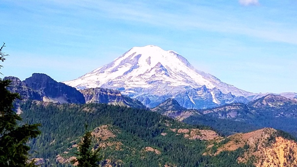
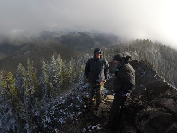
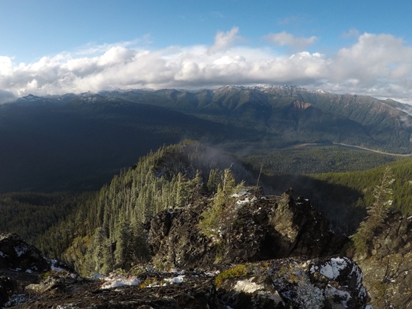
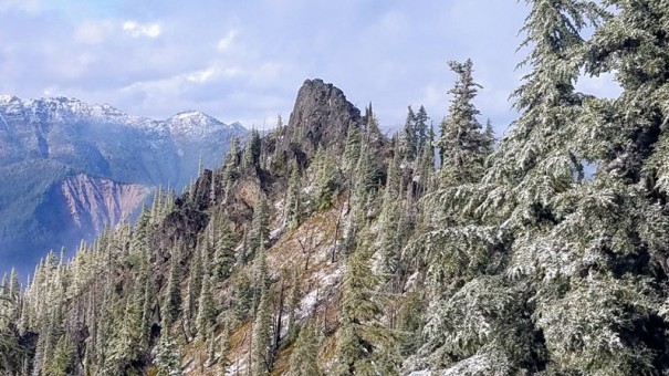
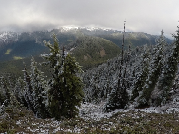
On a good day, this is the view of Mt. Rainier
Looking NE with the south end of Bumping Lake below
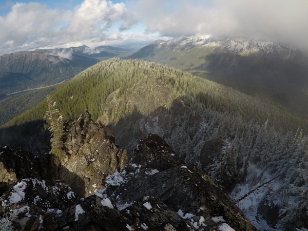
South from the summit
NE from the summit with Bumping Lake below
Summit block
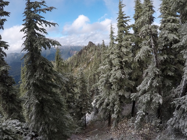
Summit in the distance
Looking east from the ridge hike
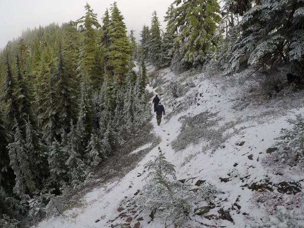
On a trail along the ridge


