
Elevation: 3,868 feet
Distance: Drive-up with permit or 2.5 mile hike
Elevation Gain: Drive-up is 0, hiking is 1,000 feet
Prominence: 2,188 feet
Rank: 112th
Washington Prominence Peaks
Lakeview Peak
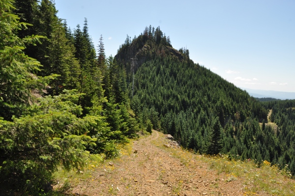
Lakeview Peak is a prominent mountain located in Cowlitz County but with a low elevation, it really isn�t that noticeable from a distance. Logging roads go all the way to the summit but access requires a Weyerhaeuser St. Helens Tree Farm Permit. If you do hike it, the security patrol is unlikely to be there during non-hunting months. The summit has two points, the north is considered the higher point. Interestingly, Lakeview Peak is the most prominent point in Cowlitz County; the 24th-most prominent CoGPP in Washington.
Access & route:
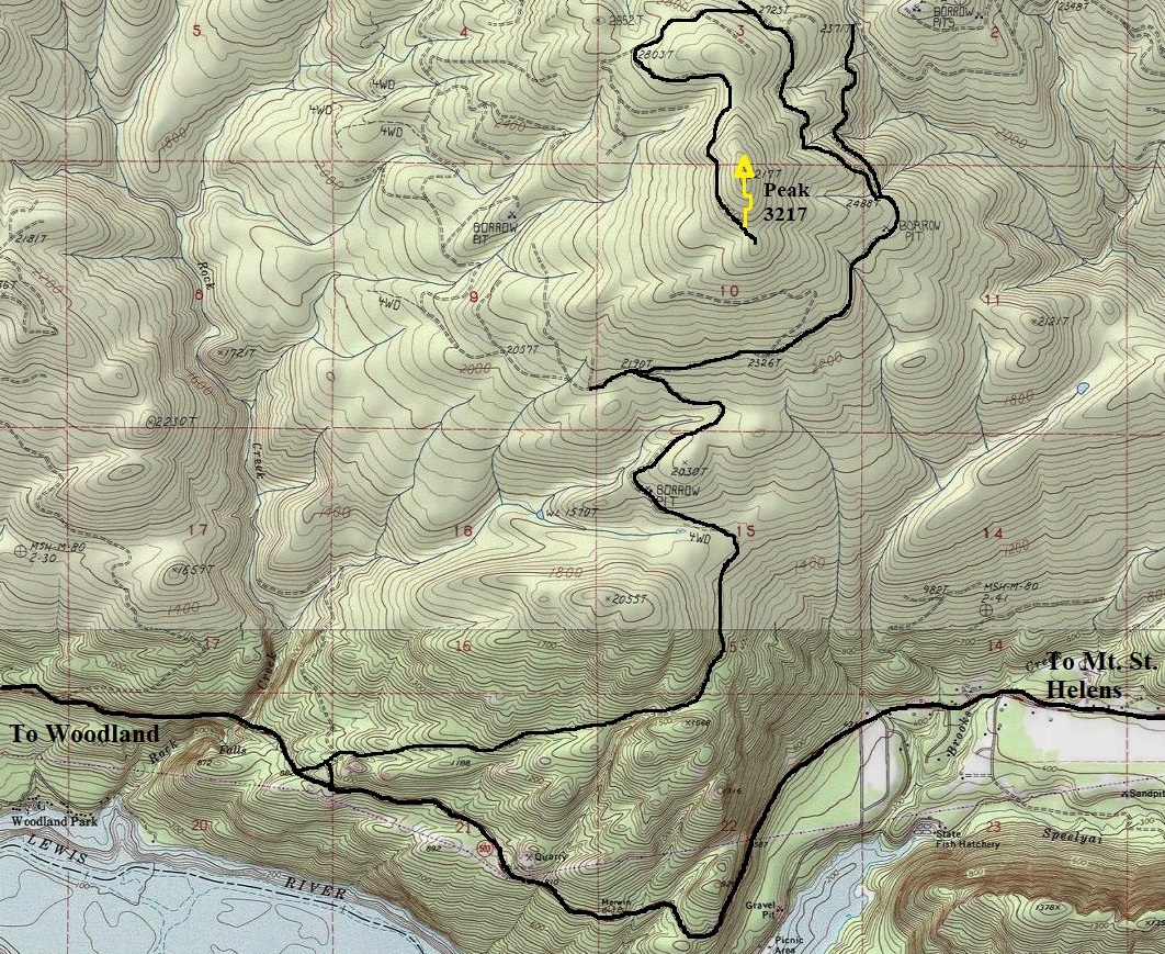
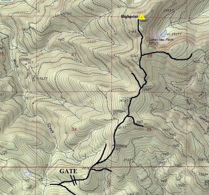
From Woodland, take Highway 503 roughly 16 miles to a road that branches off shortly after the Rock Creek Bridge (2 entrances). Follow this road 3.5 miles to a T intersection. Turn right going another 1.4 miles. Then you will see a steep road on the left. The better road continues straight but go left onto the steep left road. Go 1.3 miles to a T intersection, go right at the T. In 0.6 miles, reach a gate. Park if hiking from here. Use map to get to summit.
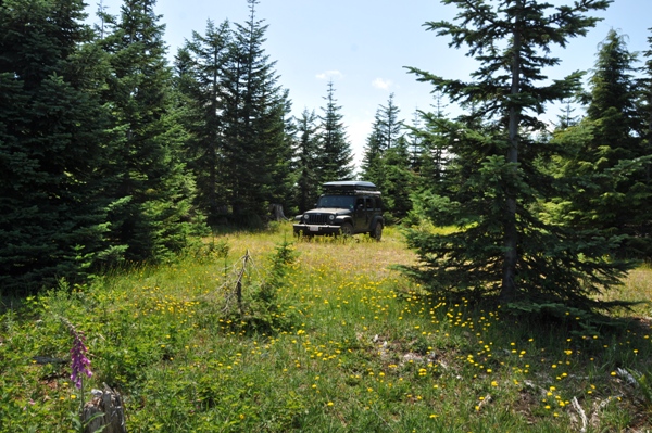

Parked at the summit
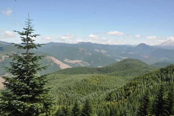
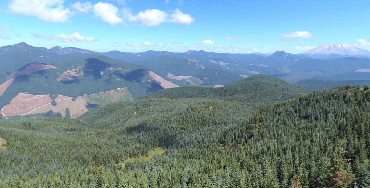
Summit has views out to the north and northeast
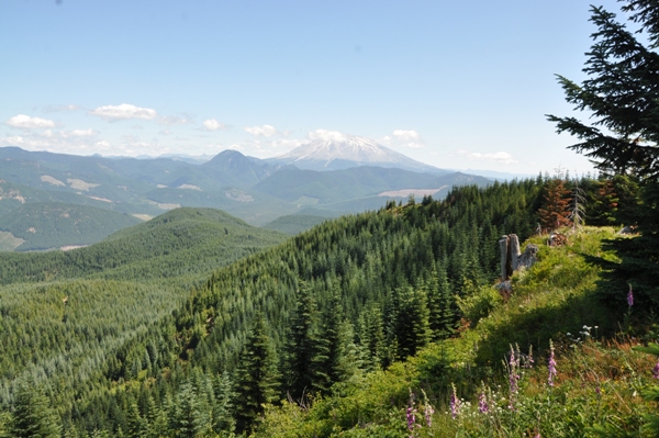
Summit view NE to Mt. St. Helens
Lakeview Peak from the NW on Peak 3387
South summit of Lakeview Peak
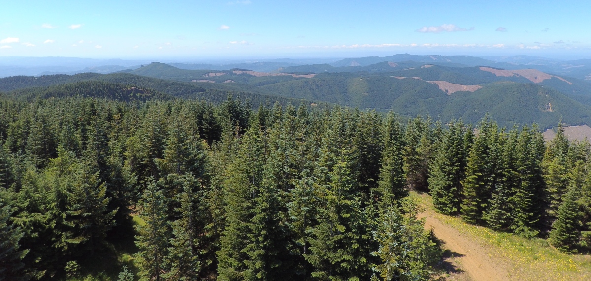
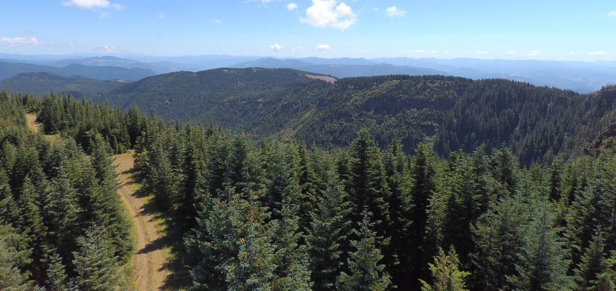
Drone view of the summit viewpoint
Drone view to the NE from the summit
Drone view to the SW from the summit
Drone view to the SE from the summit, Adams in distance


