North Fork Bench Former Lookout Site
Washington Lookouts
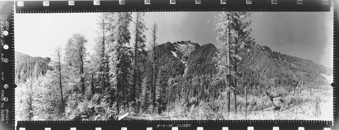
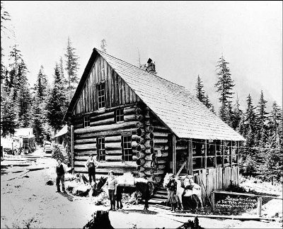
Little information is available about a lookout on North Fork Bench, just above Bedal Campground and the former North Fork Guard Station. Reports show it built in 1936 as an L-4 cab, with it being gone by 1955. Luckily, we have the panoramic views from the lookout taken in 1935. The little ridge above the campground has good views in three directions at the confluence of the North Fork Sauk and the South Fork Sauk. The lookout would also directly overlook the small community of Bedal.
Elevation: 1,281 to 1,515 feet
Distance: Close to road
Elevation Gain: Very little
Road Access: Good Gravel with potholes
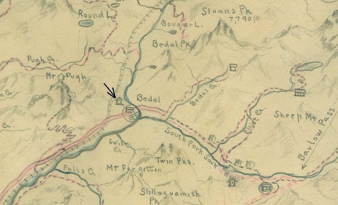
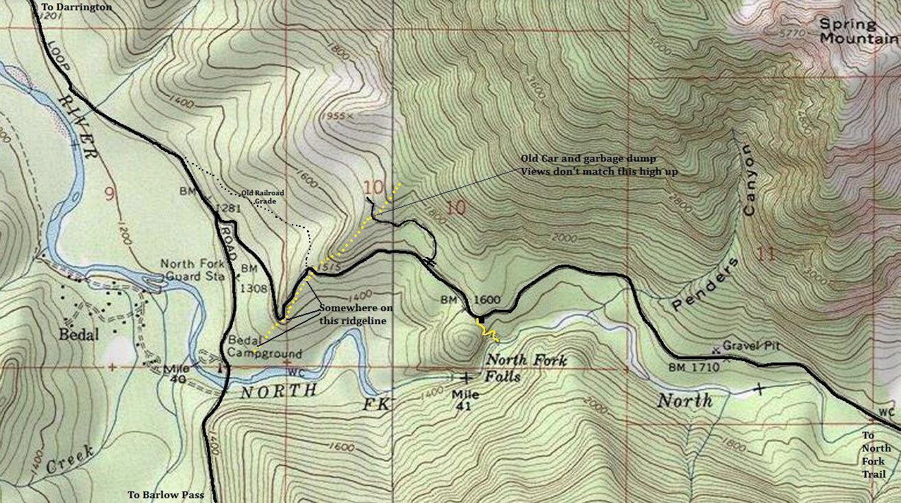
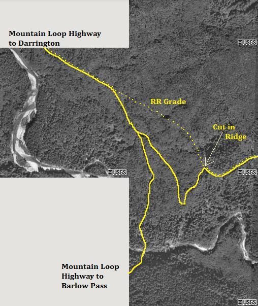
Reported elevations for this lookout range from 1,281 feet near the Bedal Campground up to 1,720 feet where an old road crosses over the ridge. Based on comparison of the panoramic photos to Google Earth Ground Level, the lookout looks to be at the lower end of the elevations, closer to the campground. The high elevation where the road crosses the ridge has a massive amount of very old dumping debris. Many bottles, barrels, cans and at least one or more old cars are under your feet as you dig though it. Nothing appeared to be fire lookout related. In 2015, we followed the entire ridge up and down and found no signs of the former lookout. Point 1515 is where the current road utilizes a major railroad cut through the ridge. A 1930's sketch map shows the lookout below the railroad grade. Based on all evidence thus far, I do believe it is below the railroad grade. I'll just have to wait for an old-timer to share his/her knowledge.
Finding The Specific Spot:
1930's era sketch map shows the lookout below the railroad grade, benchmarked location at 1515 on current USGS maps. He also faintly drew the ridge.
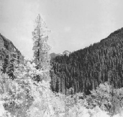
Looking Southwest - 1935
Looking Southeast - 1935
Looking North - 1935
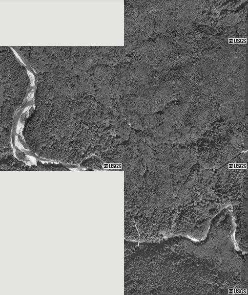
Old aerial map showing the roads and former roads


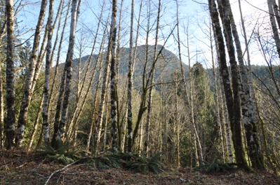
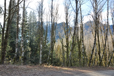
From the road switchback on the ridge at 1,420ish feet, the only flat disturbed spot along the ridge and very possible location of the lookout
From the road switchback on the ridge at 1,420ish feet, the only flat spot and very possible location of the lookout
2015
2015
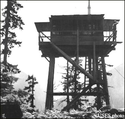
Just a thought but this mis-labeled lookout sure looks like it could have been North Fork Bench. The lookout is on the edge of a steep drop, there are scattered mature trees all around (see all three views) and the distant topography somewhat matches in the correct direction of where the images were taken from.
Southeast view from North Fork Bench in 1935 is similar to the view behind the lookout photo on left.
Unknown lookout in 1937 Darrington District mis-labeled as White Chuck Bench
Yellow dots = area searched
Road on old rail line going up the North Fork Sauk River
Showing the current roads and former railroad
Some great history about the Bedal family homestead located just below the lookout site can be found below. They could answer all my lookout questions!


