Dillard Point Lookout Site
Washington Lookouts
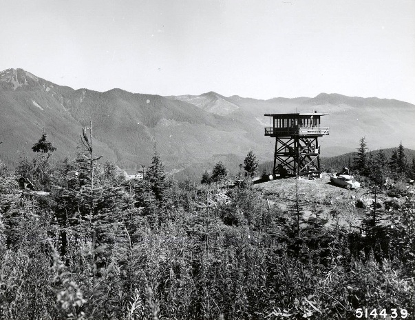
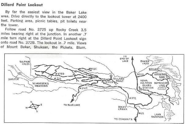
Dillard Point Lookout was recently a popular destination in the Baker Lake region as the image shows below from a popular hiking guide. Today, the site is completely grown over with no views. The tower was young, built in 1962, a twenty foot treated timber R-6 flat roof tower. Reports show it as destroyed in 1981. Access to the site is very easy, the road has one major washout, possibly the cause the road was abandoned for good.
Drive the North Cascades Highway (20) east of Sedro Woolley 14.5 miles to the signed Baker Lake Road. Follow for 12.5 miles, then a left turn on FR 12 just after a bridge. Follow for 3 miles to a junction, turn right on FR 13 and follow to the first switchback that turns west. A bit further, look for an old road pealing off to the right and park.
Access
Elevation: 2,360 feet
Distance: 0.7 miles
Elevation Gain: 419 cumulative gain
Road Access: Good Gravel
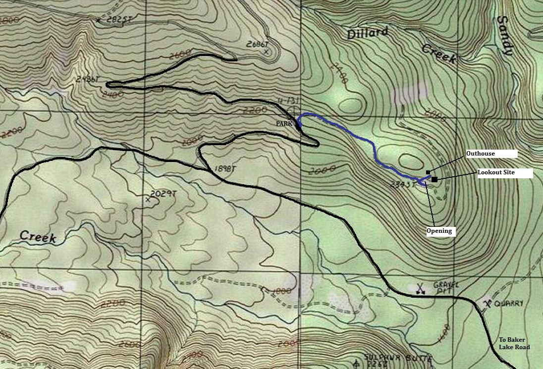
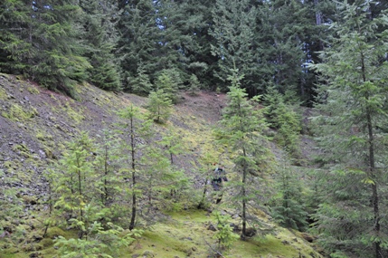
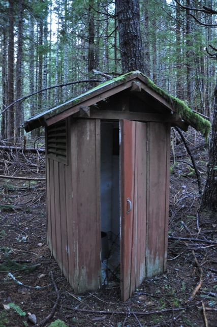
Just follow the road 0.7 miles until it hits a large opening with a high gravel embankment on the left. The lookout is just above it. Climb the embankment or before and find a short road to the lookout area. Once there, the remains spread across a wide area. At the north end is the old outhouse, at the south end is the lookout footings & picnic tables, between is some wiring and posts used for communications.
Route
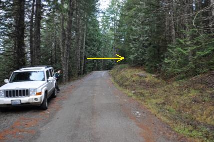
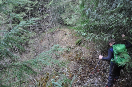
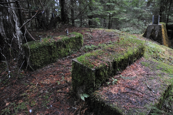
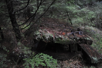
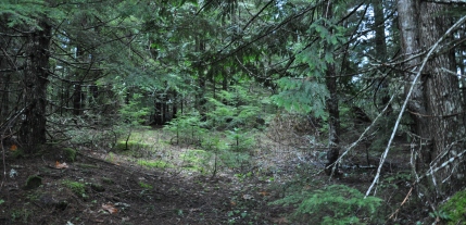
Final road segment to the lookout site
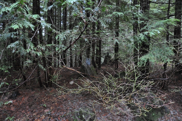
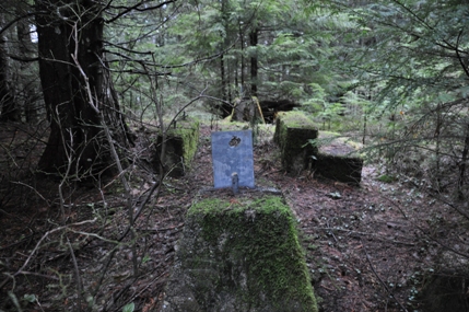
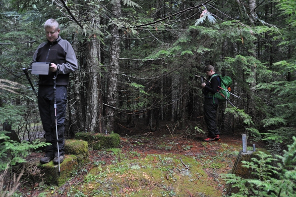
Time to mark the spot
Old picnic table
The outhouse
First steps up the lookout
Road washout
2 footings in there
Two footings and steps
Blue is the hike on the old road
Leave the old road here and get up above in those trees
The old road is curving off into the forest on the right
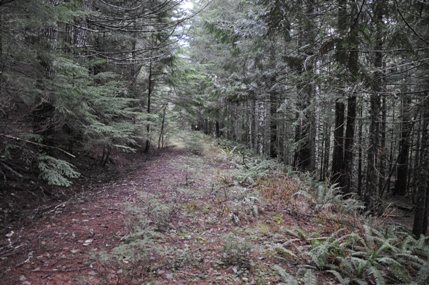
The old road is not too bad to walk (as of 2014)
Dillard Point during the good times


