Ray Ridge - Asotin County Highpoint
County highpoints can be difficult in Washington, Asotin County is not one of them. This is the highest drivable Washington County Highpoint. The access road and route is just a slight detour off the road to the trailhead for Diamond Peak, the county highpoint for Garfield County. Maps show the ridge further down as Ray Ridge, so that is the highpoint name.
Elevation: 6,180ish feet
Distance: 200 feet
Elevation Gain: 30 feet
Access: Good Gravel Road
Washington County Highpoints
Access
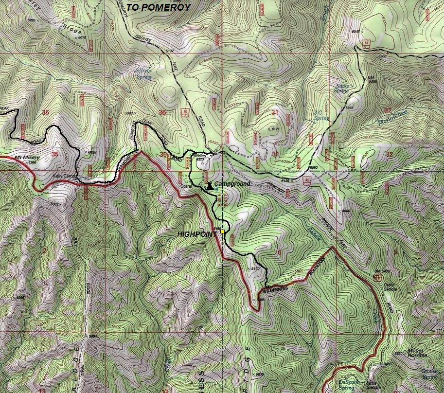
From Pomeroy, take 15th Street south going 15 miles to the Umatilla National Forest. Now on FR-40, continue 15 more miles to a major 5-way intersection. Take a sharp right turn onto FR-4030, possibly signed for Mount Misery Trailhead. Continue just a short distance to a Y. Go left, soon passing a interpretive sign for a historic sheep coral, then a campground. Use map provided to find exact location to park and start walking. You will only need to walk about one minute to the highest point from your car.
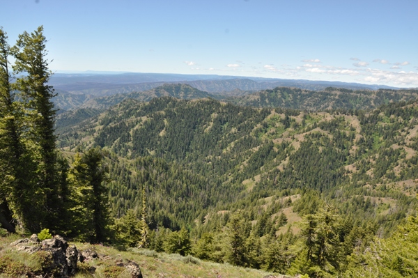
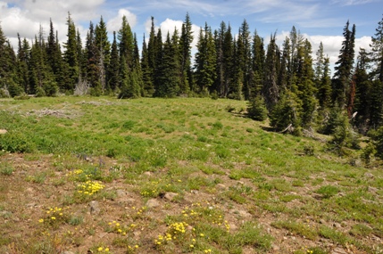
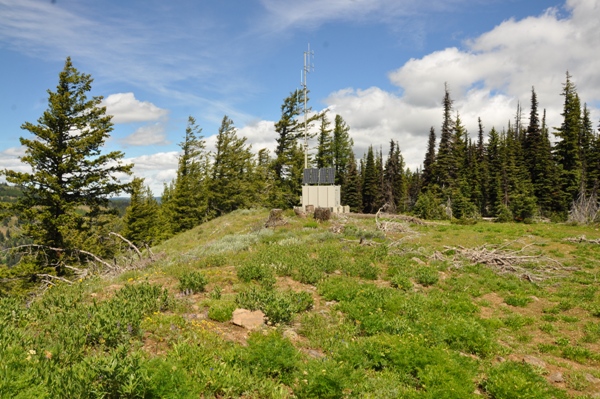
Looking North
Looking West
Looking East
Looking South
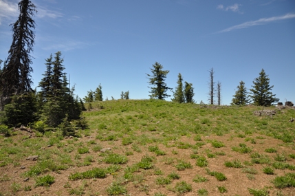
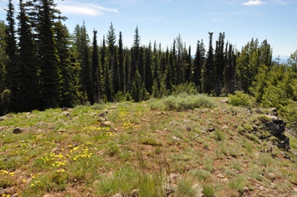
Walking up to the highpoint


