Kyhv Peak
Distance: 1.5 miles
Elevation Gain: 2,700 feet
Summit Elevation: 7,876 feet
Access: Paved
Kyhv is well recognized in Utah County, it was previously known as Squaw Peak until 2022. It gets little respect because it is overshadowed by the much taller Cascade Mountain behind and has to compete with a mountain to the south with a giant letter Y on it. Half the peak is a sheer cliff.
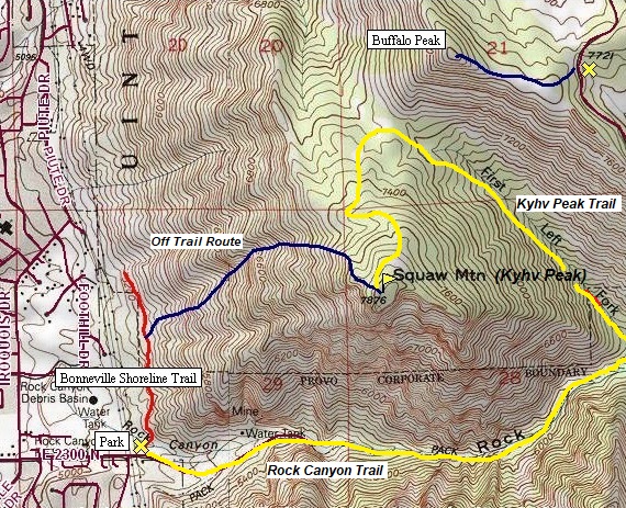
The Route:
WillhiteWeb.com
Access:
Y Mountain from the summit.
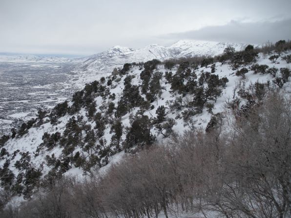
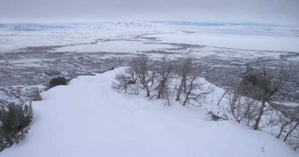
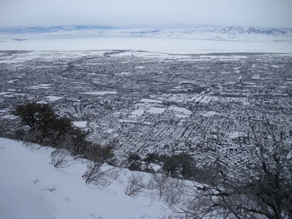
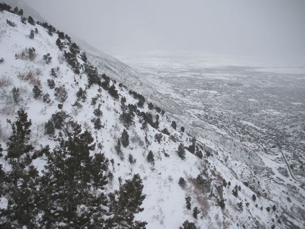
Provo and Utah Lake from Kyhv Peak.
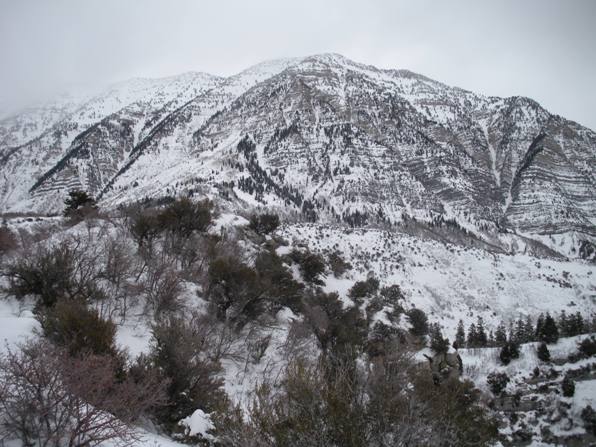
Kyhv Peak from the trailhead gate.
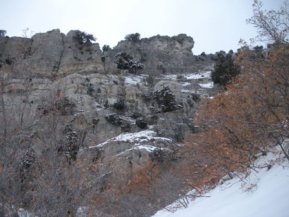
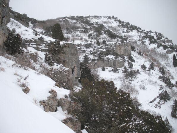
Traversed over going up between these rocks
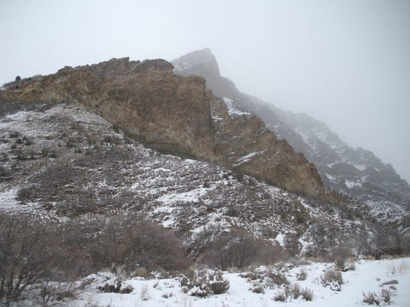
A false summit
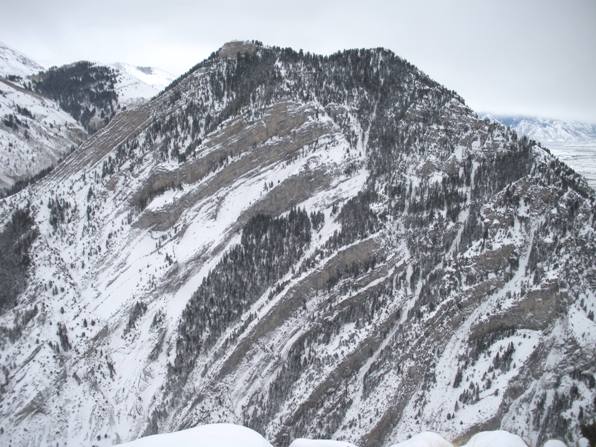
The slopes of Y Mountain to the south.
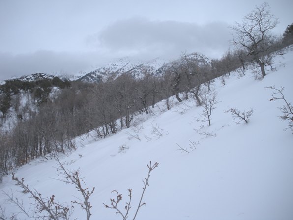
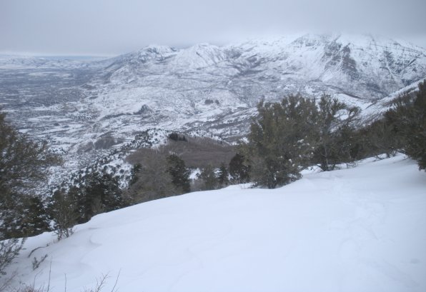
Snowshoeing near the summit with view of lower slopes of Timpanogos.
Looking north to Lone Peak.
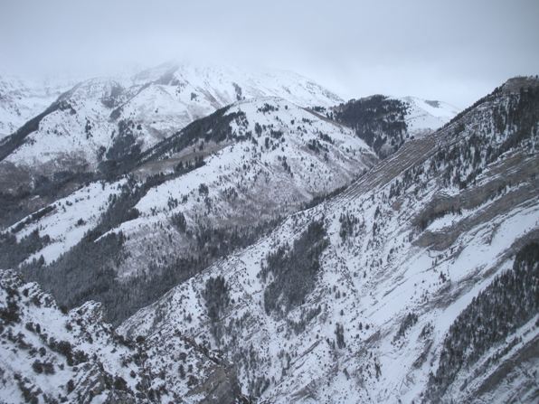
Cascade Mountain from Kyhv Peak.
The summit area of Kyhv Peak.
Find your way to the Provo Rock Canyon Temple. Follow the street (N. Temple) on the north side of the temple east up into the canyon. Park in the lot below the gate where a sign indicates you’re at the Provo Bonneville Shoreline Trailhead.
There are a number of ways you could climb Squaw. I recommend winter as you will have plowed access, no snakes to look out for and you can spend your summer days climbing something better. A trail does go to the summit if you hike up the Rock Canyon Trail 1.5 miles looking for a minor trail and sign to your left. Another option would be to drop from Buffalo Peak (see map). The route I chose was picked because it was the most direct, often the fastest in the winter. If the Rock Canyon Trail is compacted from other hikers, that route might be just as fast. My route seems to have many variations, but it might be possible to be cliffed out if ascending to far to the south.
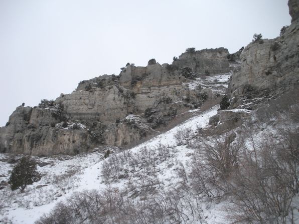
My route: Walk behind the gate about 100 feet looking for a bridge to the left over Rock Creek. This is the Bonneville Trail heading north. Follow this easy level trail. Just after hitting the black chain-link fence on your left, you will see a path working up to the right. I followed this until it hit a highpoint. From there I left the path working up the minor ridge between 2 large draws. Around 6,000 feet below some cliffs I was forced north into a ravine. This ravine is quite cliffy on the north side but access is possible once inside. Follow this up until easier slopes and the north ridge of Kyhv is reached. Snowshoe southeast on one of two ridges that find their way to the summit area.



North view.
Lots of houses in Provo.
Big drop off.
Bigger Wasatch Mountains.


