
www.willhiteweb.com - Hiking, Climbing and Travel
East Olympus, South Thayne Peak, Neffs
These three peaks do not get many visits and they have no official names. Yet, they are some of the hardest to reach in the Wasatch. "East Olympus" is especially difficult to reach as well as to summit. It is one of the few class 3 required peaks in the Wasatch. All three are extremely visible from the Salt Lake Valley. They sit on a high ridgeline behind Mount Olympus.
Access:
Distance: 10+ miles RT
Summit Elevations: 9,776, 9,780 & 9,773
Elevation Gain: 5,300+ feet
Access Rating: Paved
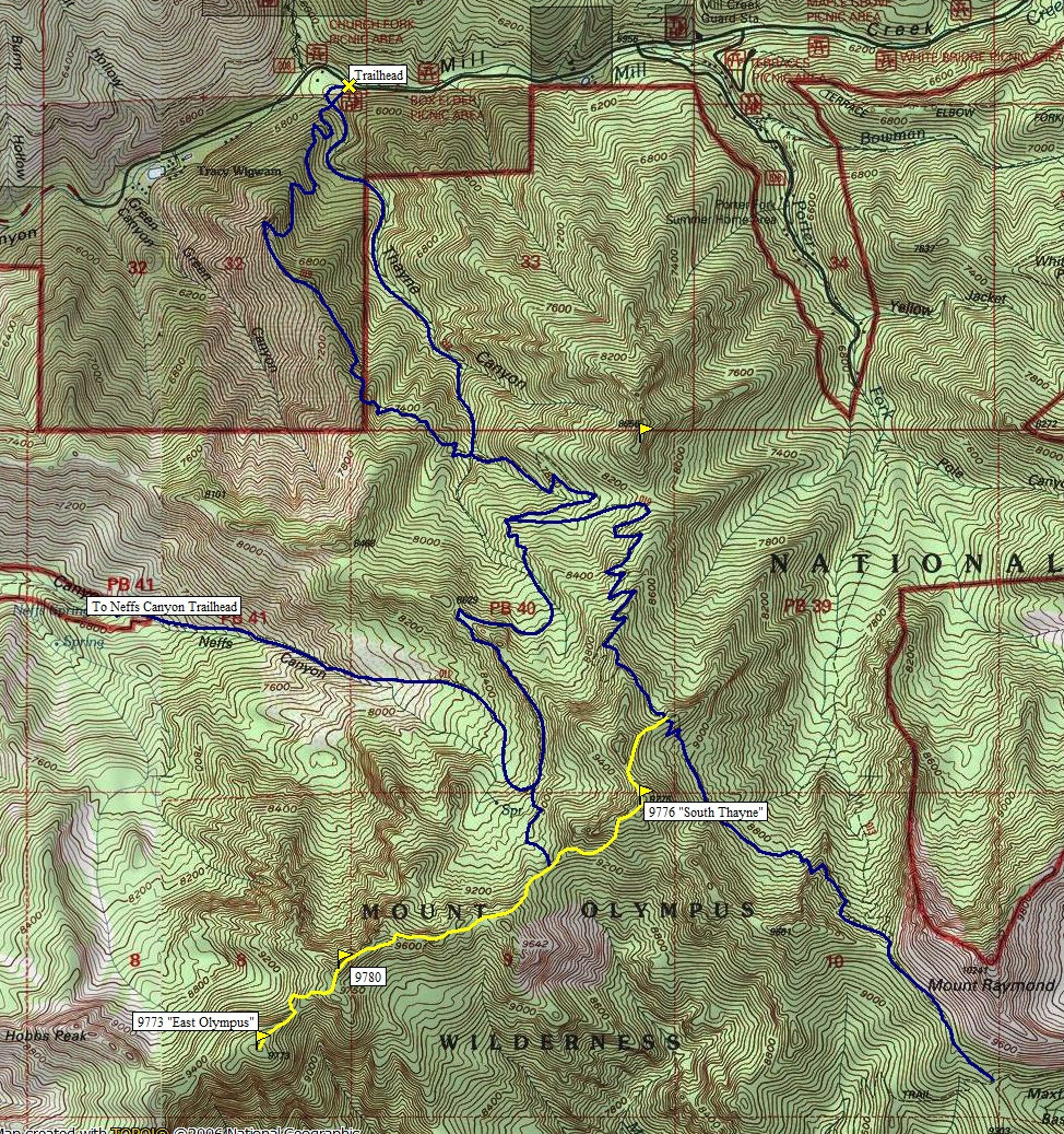
You can reach them from Mill Creek, Neffs or Big Cottonwood Canyons. Using Mill Creek, I was able to do a nice loop so I picked that route. Drive up Mill Creek Canyon past Tracy Wigwam scout camp. Just past the Mill Creek Inn on the right is the Box Elder parking and picnic area.
Route:
Walk up the trail a short distance and find a trail split. The Thayne Canyon trail is faster but you can also take the Desolation Trail. Both trails meet up at 7700 feet. Take the Desolation Trail east as it switchbacks up to the Thayne Saddle. (A climbers trail shoots left here going up Thayne Peak). Keep hiking the Desolation Trail as it switchbacks higher to a high ridge crossing at 9,300 feet. Leave the trail and hike up the ridge a bit to some game trails that traverse SW over scree to the summit ridge. Once on the ridge, scramble up to the top.
For the next peak, drop down to the SW on the ridge, then find a safe gully to drop a few hundred feet (south). There are cliffs to the west that must be traversed below. A good climbers trail exists below the cliffs and will guide you to the saddle. This saddle has the trail coming from the north from Neffs Canyon, the Thayne Canyon Trail. Continue SW climbing up and over some bumps. It seemed easiest to just stay on or near the ridgetop. Follow to a lesser north summit of Neffs Peak (9780). Cliffs make things tricky, you will have to drop a bit on the south to get to the higher southern summit.
For the final peak "East Olympus", you will see a saddle just below the summit to the south. From the broad saddle, drop into the woods to the west. You should see cliffs to the south. You will need to drop until you find a steep draw to work down, then below the cliffs. Once around the west side of the cliffs, regain the ridge at a col. Now the final climb is class 3, a mix of slabs and small ledges with small trees for grabbing. Nothing too difficult or even very exposed. If all the snow was gone, there may have even been a class 2 route. To return, you'll need to climb back over peak 9780. From the Neffs Canyon saddle, drop a half mile on a faint trail to the Neffs Canyon Trail. Turn right and follow this trail back down to the Desolation Trail.
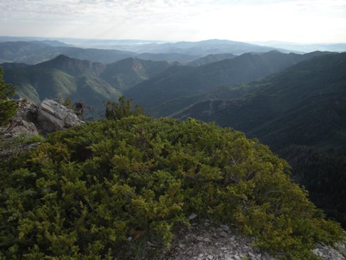
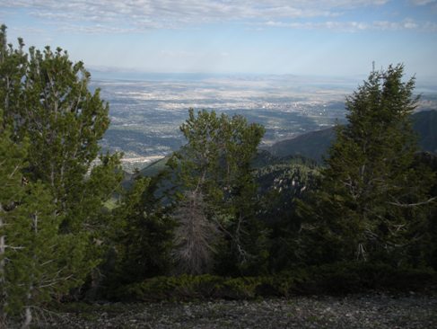
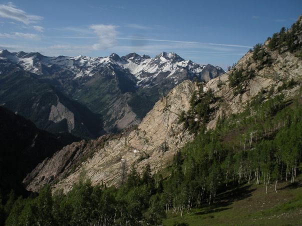
Broads Fork Twin Peaks in distance
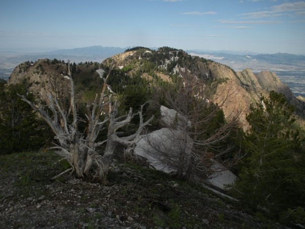
Neffs Peak from South Thayne
Views NE from South Thayne
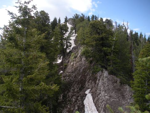
Final ridge climb to reach South Thayne
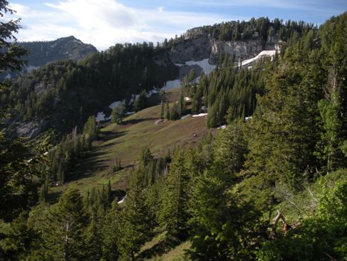
First views from the Desolation Trail
Views of the Salt Lake Valley from South Thayne
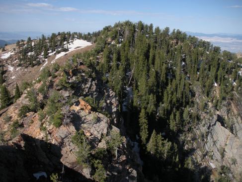
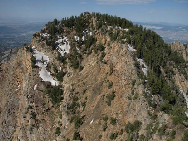
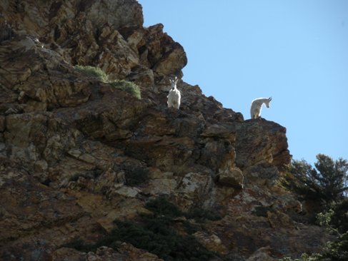
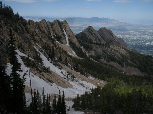
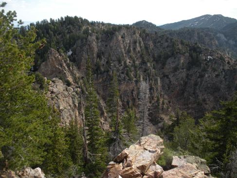
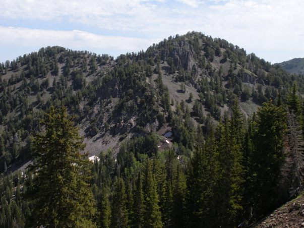
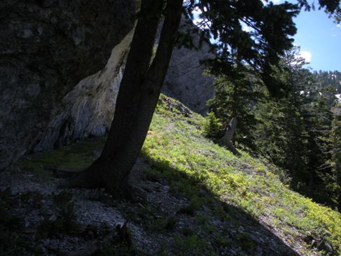
The west side of South Thayne Peak
Some cliffs on the trail at the head of Neffs Canyon
Looking at Neffs Peak (left) from East Olympus
Hobbs and Mount Olympus
Goats
"East Olympus"
"Neffs Peak" from knob to the northeast
Neffs
South Thayne
East Olympus
From Mt. Raymond


